On September 5th I took a day trip up to Wolverton; I climbed Alta Peak then traversed through the Tablelands and back via the Lakes' Trail. The smoke report from the Rough Fire forecasted no problems in the Lodgepole area; they were right, as I only smelt a faint whiff once or twice. But the smoke driving up the 180 was like driving through the valley fog. I started on the trail at 6 sharp and made it to the top of Alta in an embarrassing 3.5 hours. A 20 minute break at the top then I started east along the ridge, dropping down to an unnamed pond and climbing back up to overlook Moose Lake. I spent some time here, walking up and down, admiring the sea of granite and the dozens of small lakes and tarns. I decided to head north, not quite sure how far or where, but north. I passed the typical granite slabs and made my way through a series of ponds. I kept north and finally made it to the overlook over Table Meadows and Lake 10,559. Turning back I passed many more lakes before paralleling the Kaweah and following a drainage/use trail west. After looking down on another meadow one ridge northeast of Pear Lake, I climbed the pass and took another break by the Matterhorn. I dropped down to Pear and after filling up with water started back to the parking lot at 3. A quick jog later and I was at the parking lot at 5, not too shabby! Ice cream at Stony Creek was a welcomed relief before heading back down the hill.
 |
| View from Panther Gap |
 |
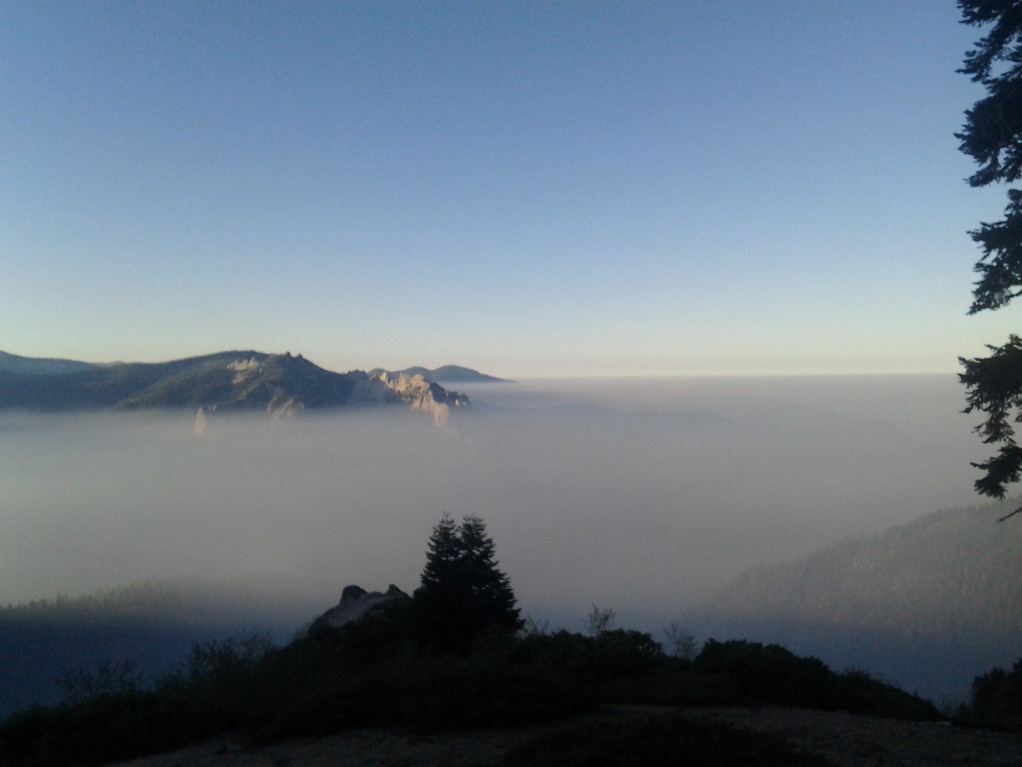
| Kaweahs through the smoke |
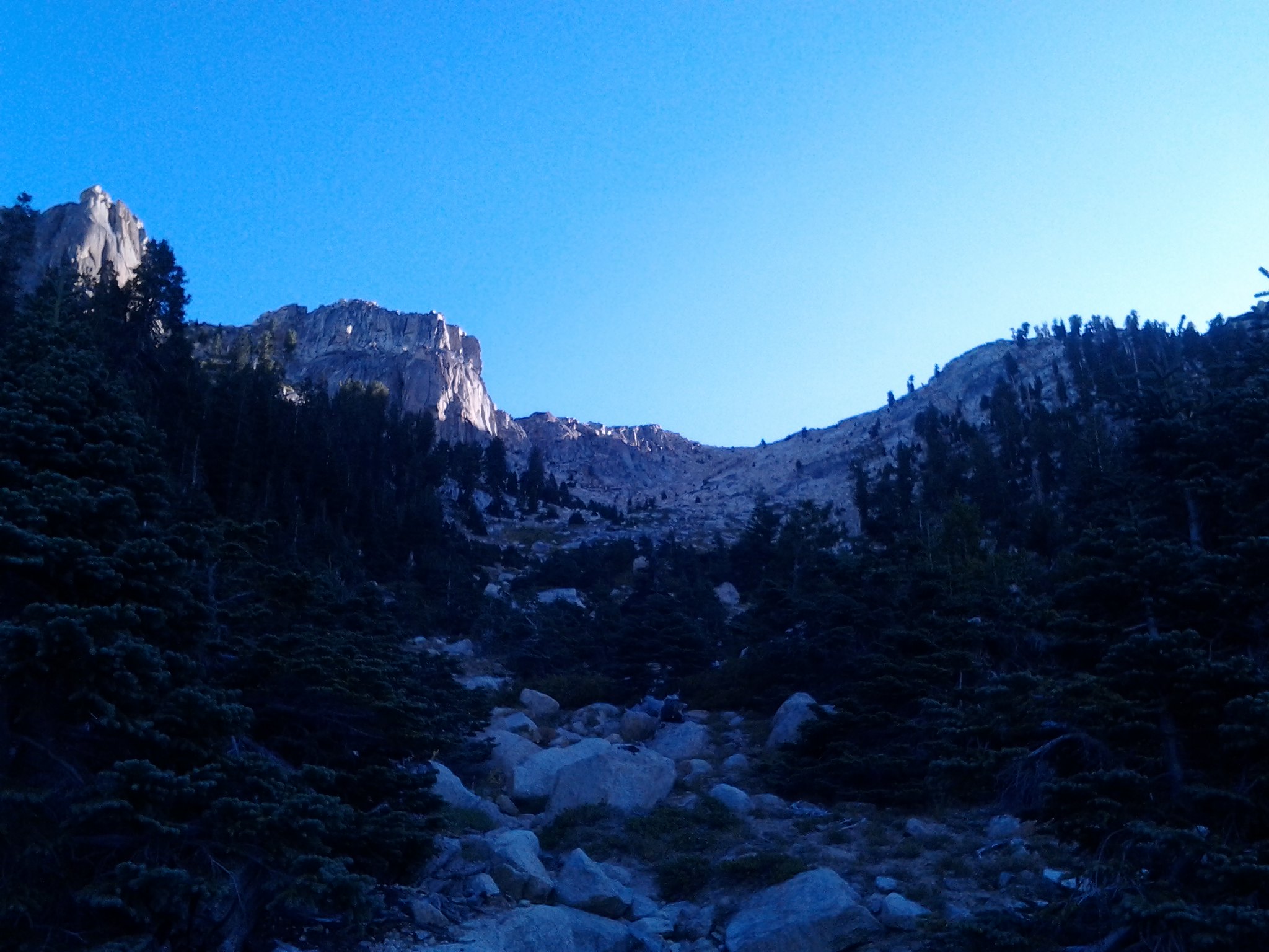 |
| Alta Peak: Dead ahead |
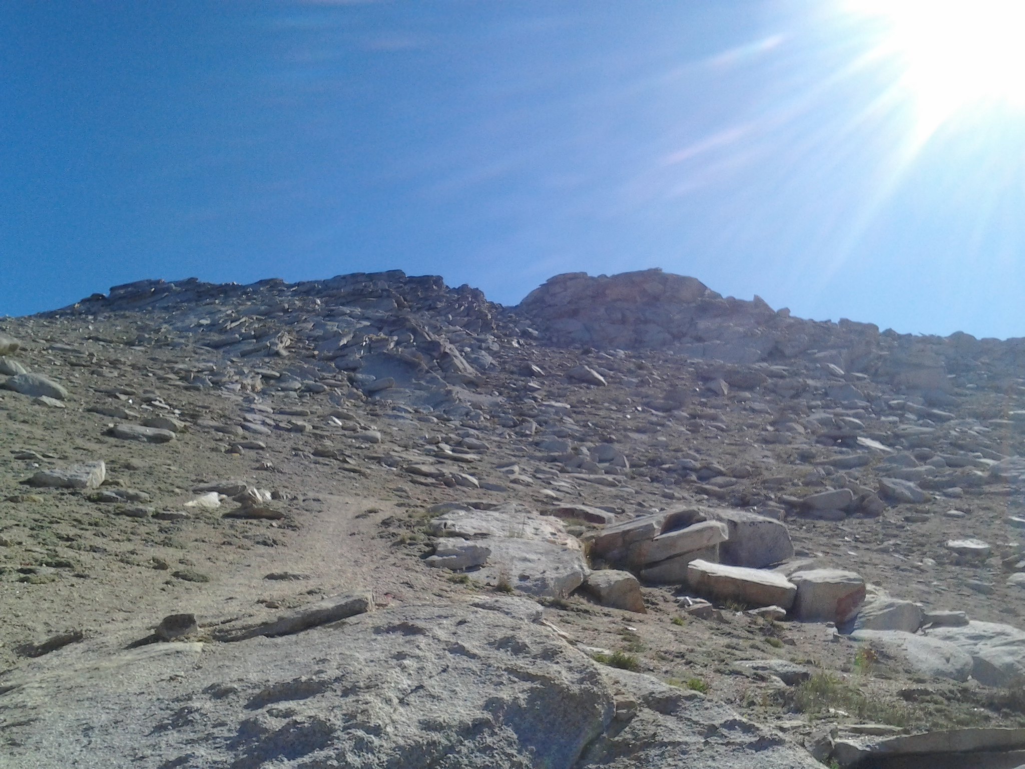 |
| Almost there! |
 |
| Made it! Overlooking Pear Lake |
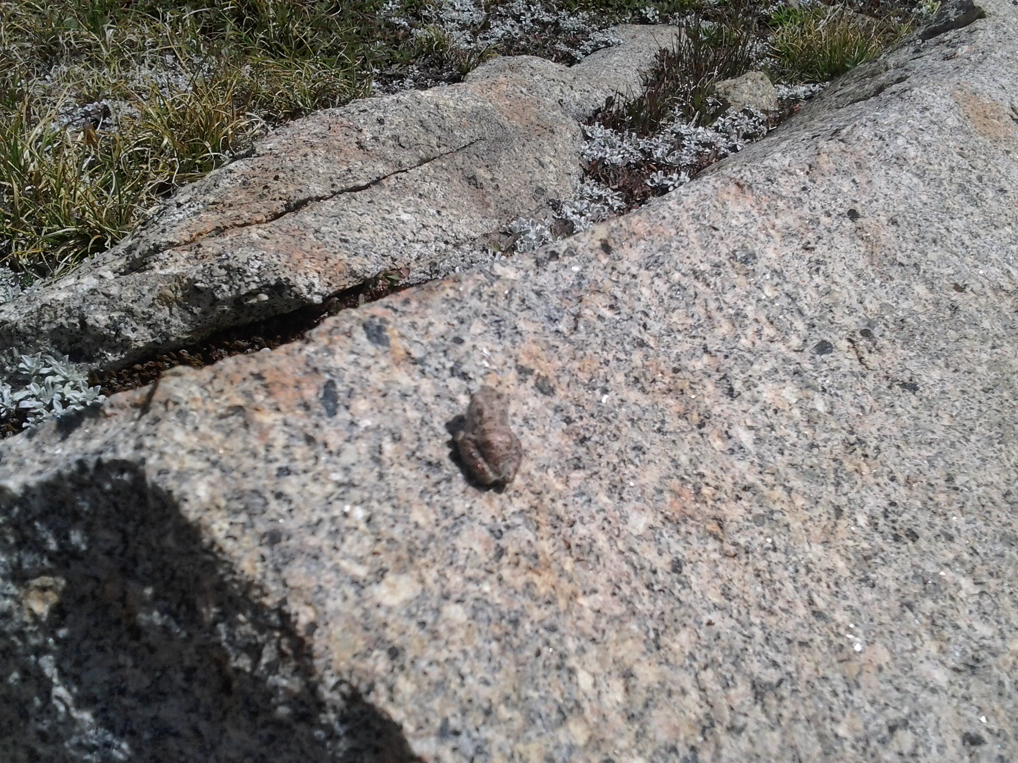 |
| Tons of these frogs on the way to Moose Lake overlook |
 |
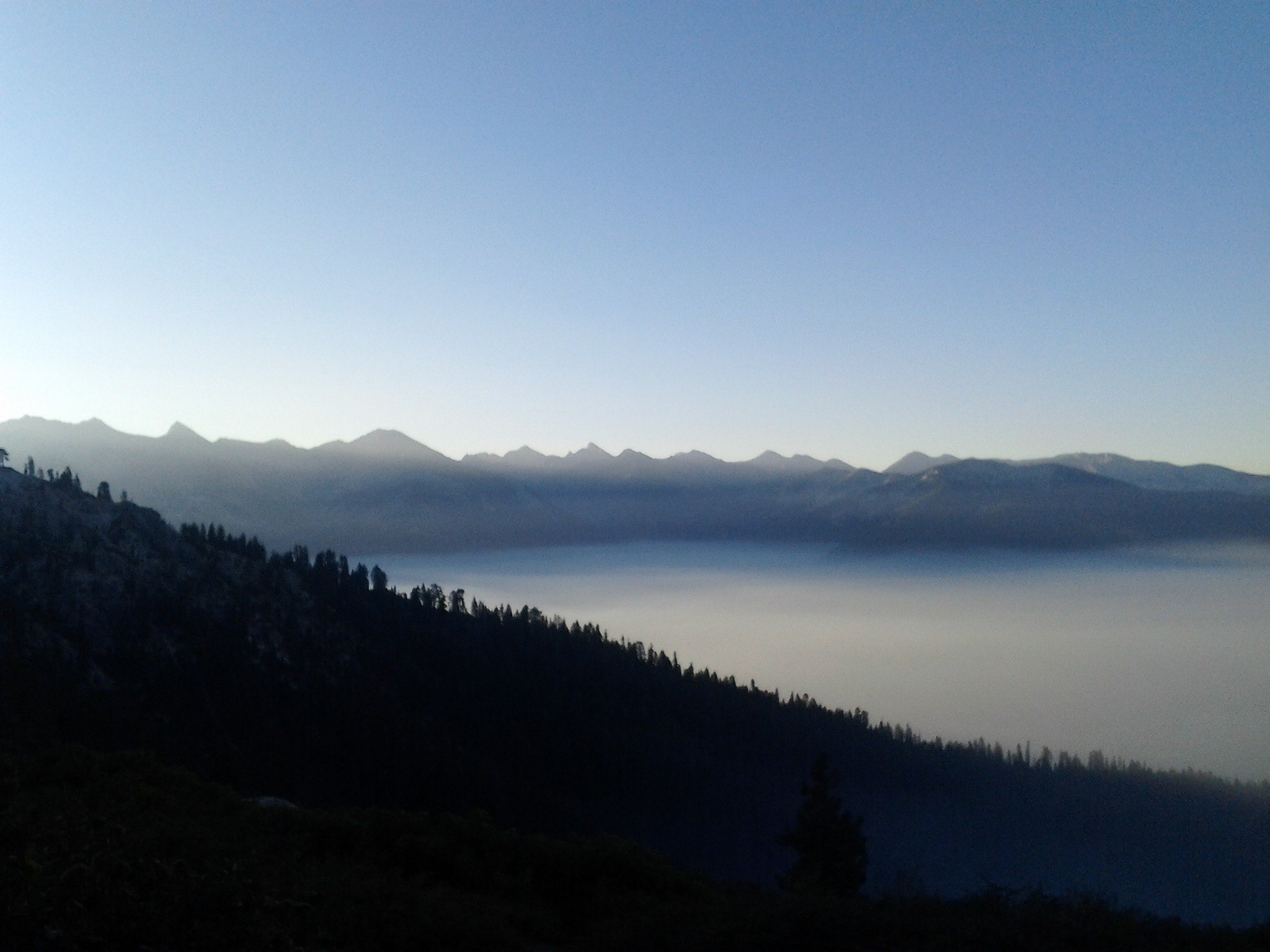
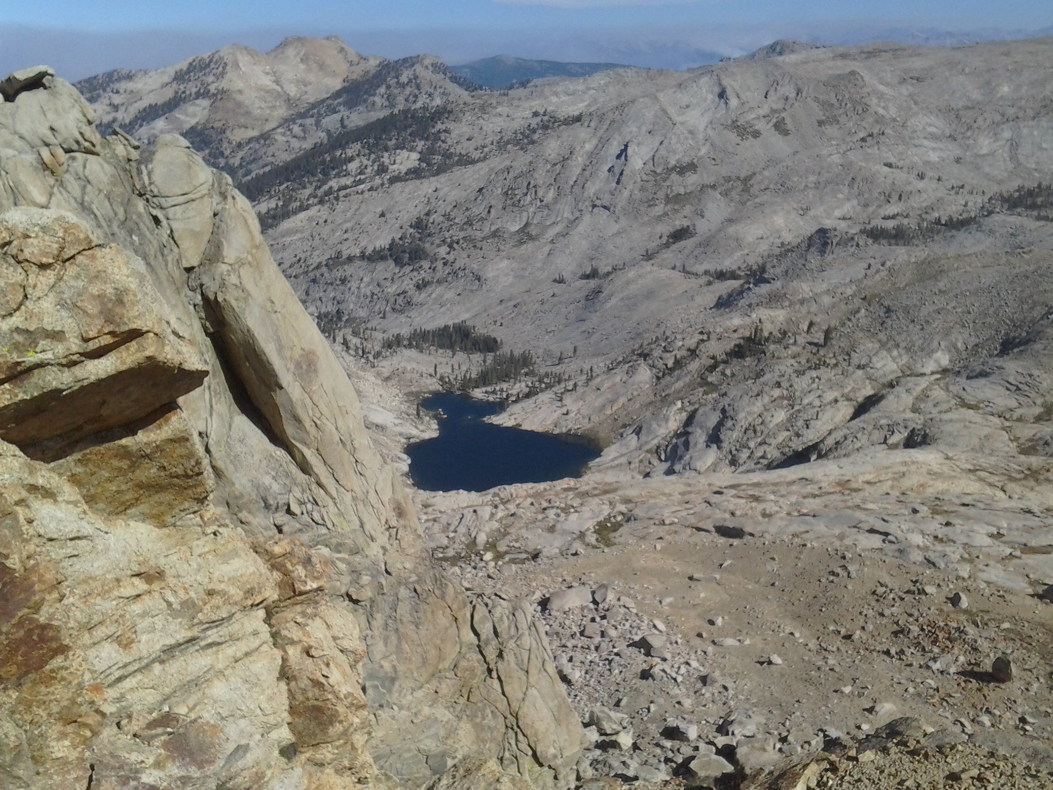
| Moose Lake Overlook, still very smoky |
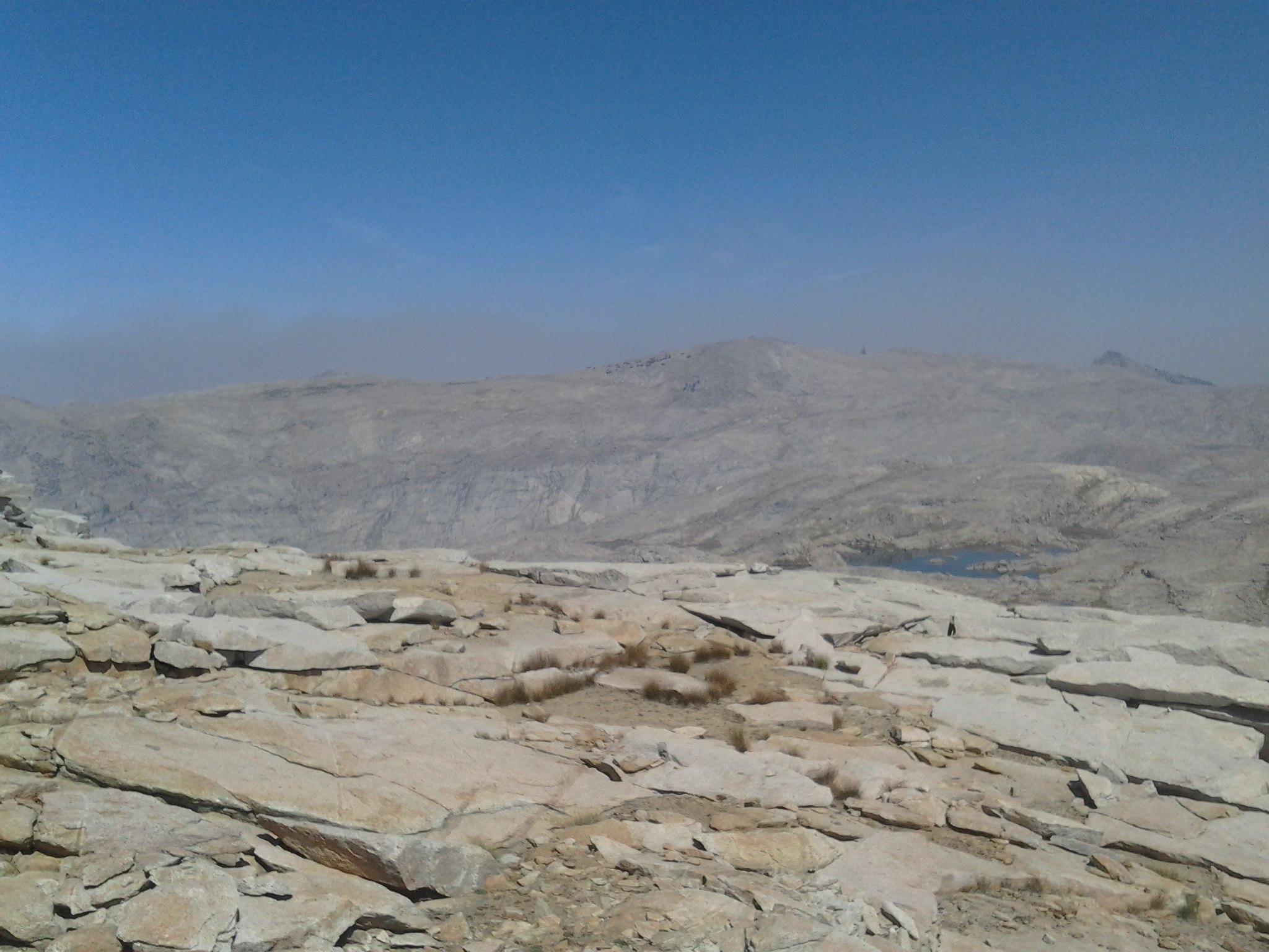 |
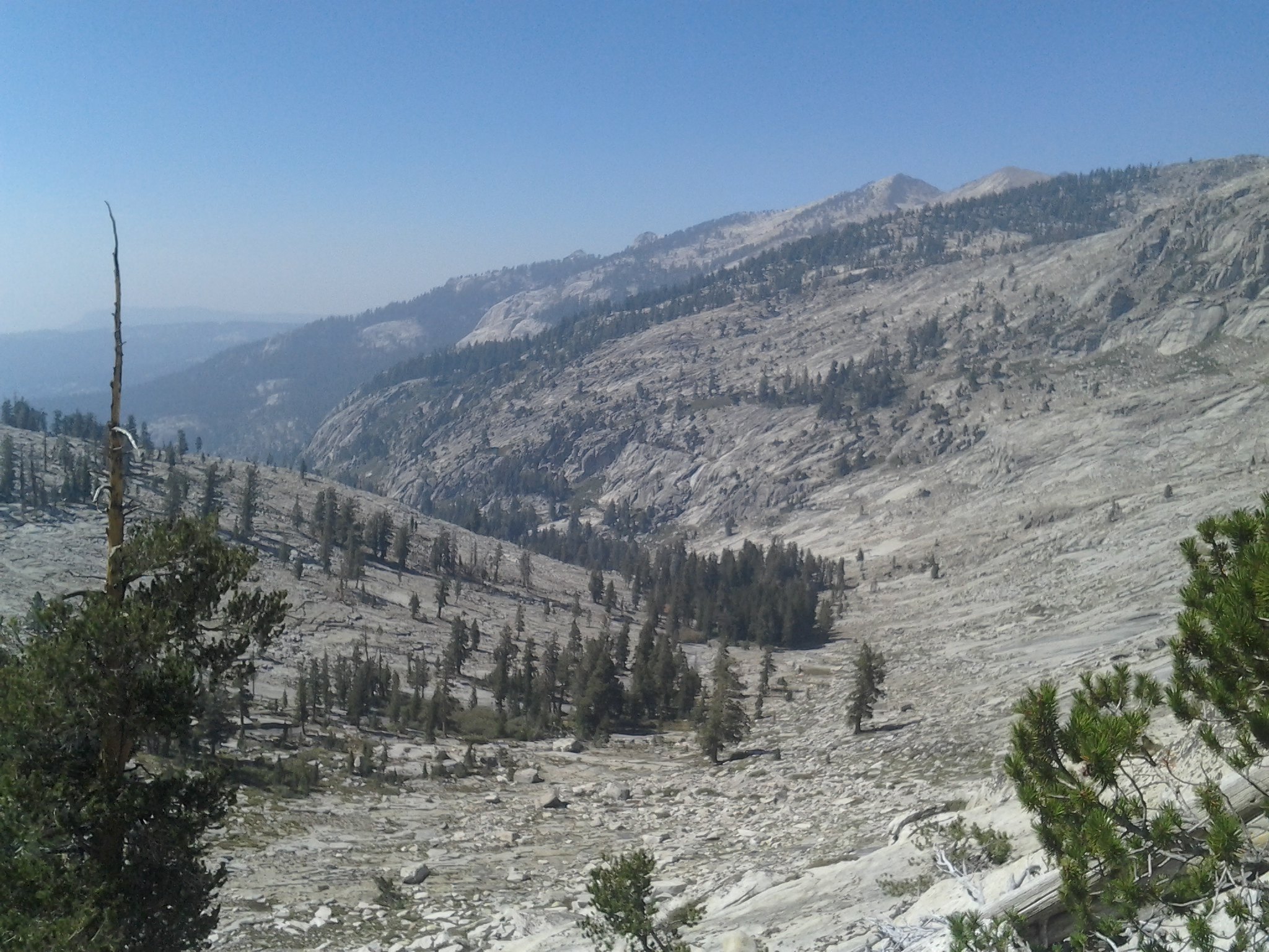
| Looking North into the Tablelands |
 |
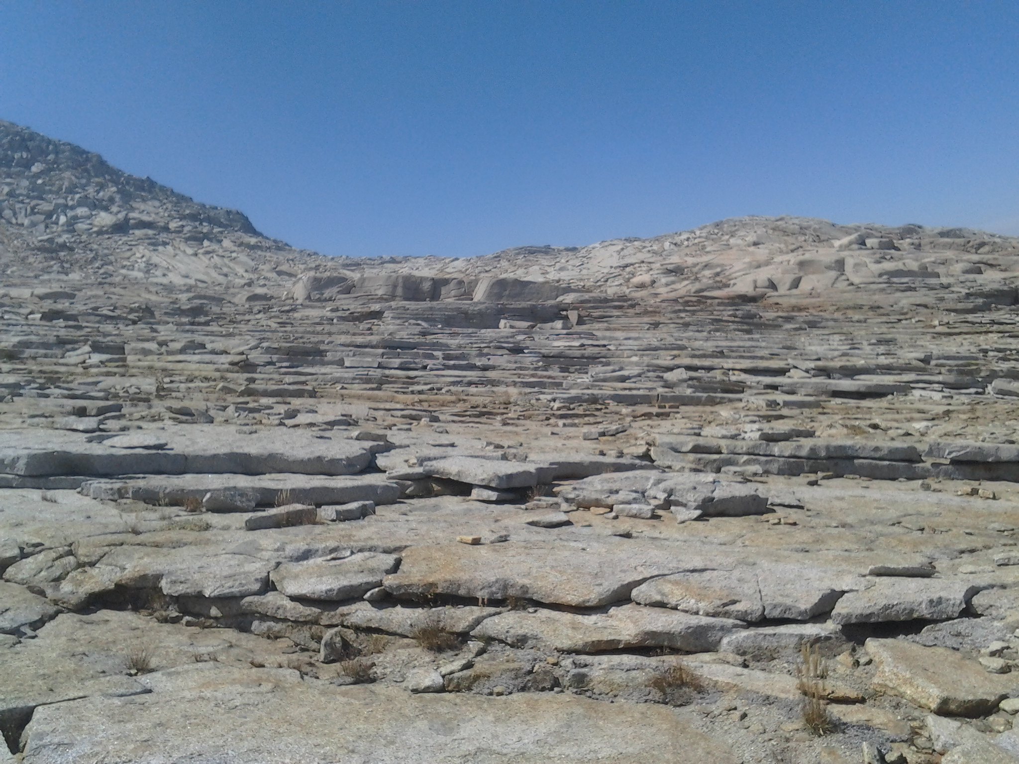
| Typical granite walking through the Tablelands |
 |
| View North |
 |
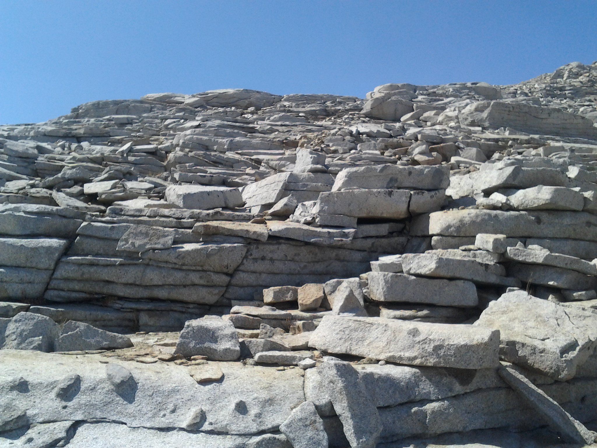
| Cool stone wall |
 |
| Gotta love granite! |
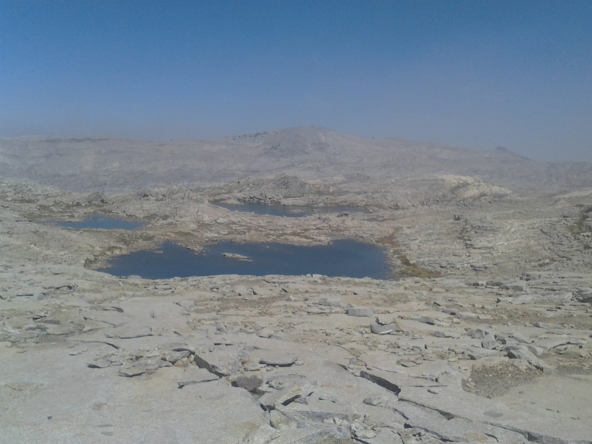 |
| Small unnamed lakes in the sea of granite |
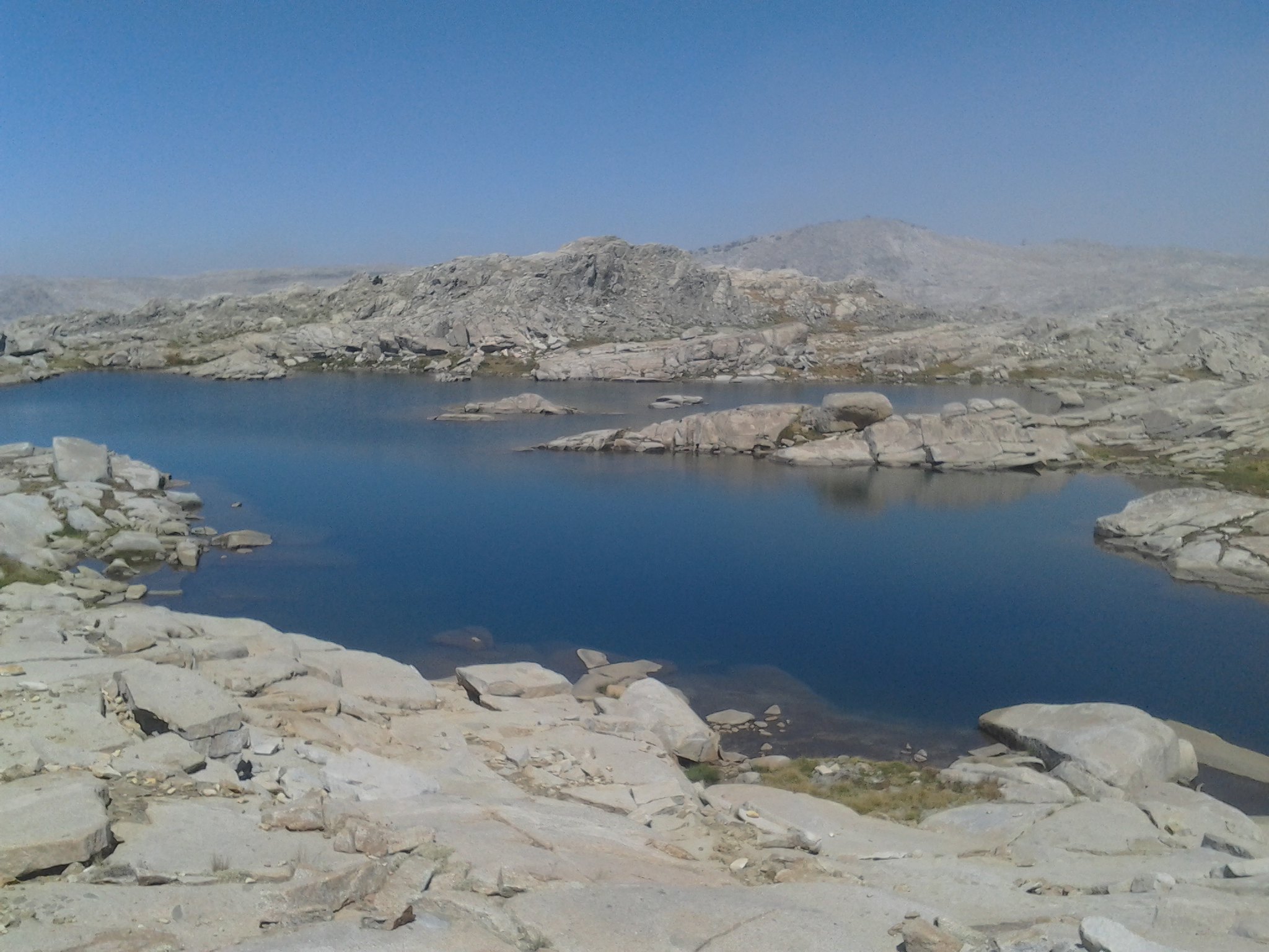 |
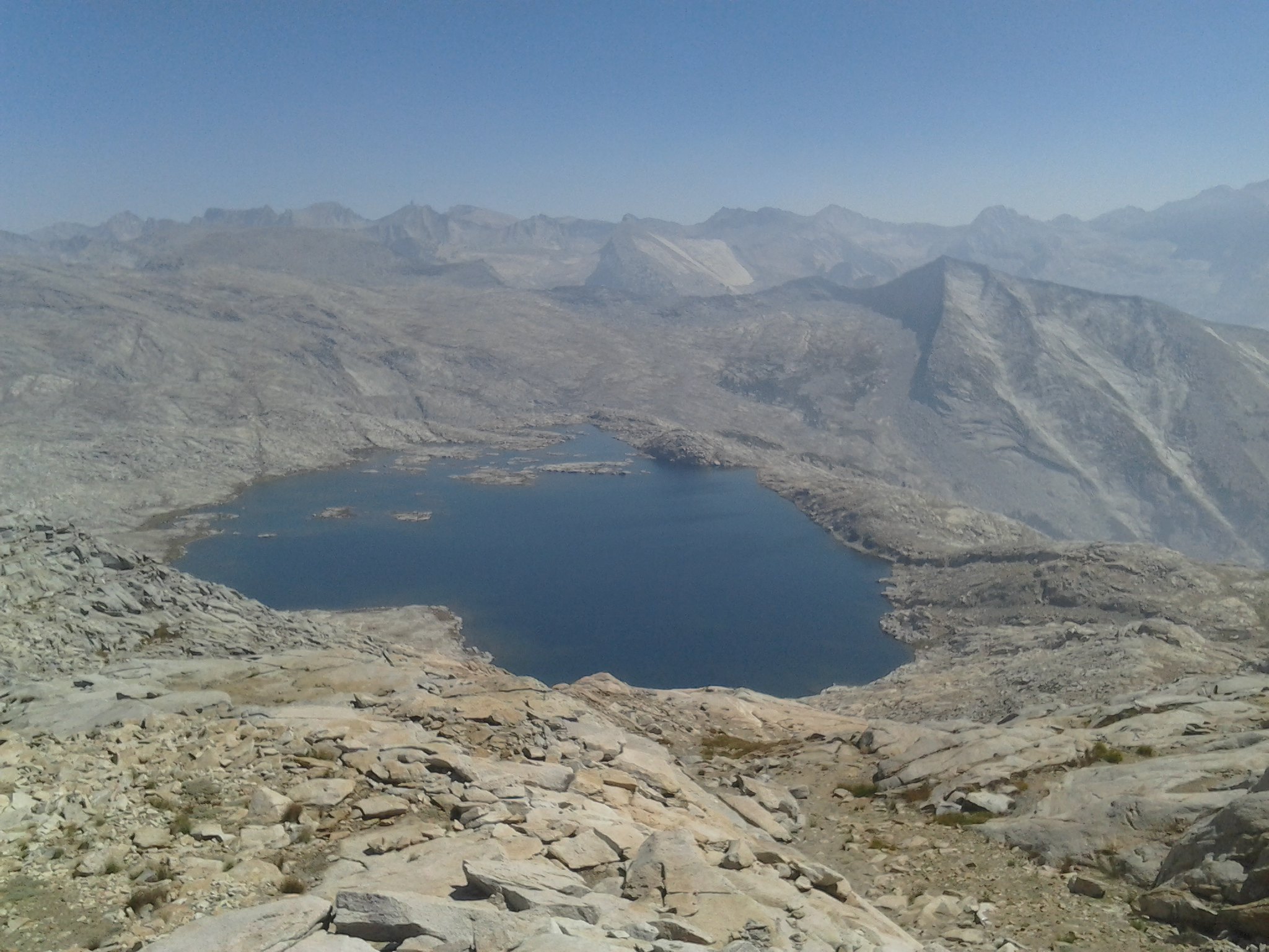
| One of the largest lakes |
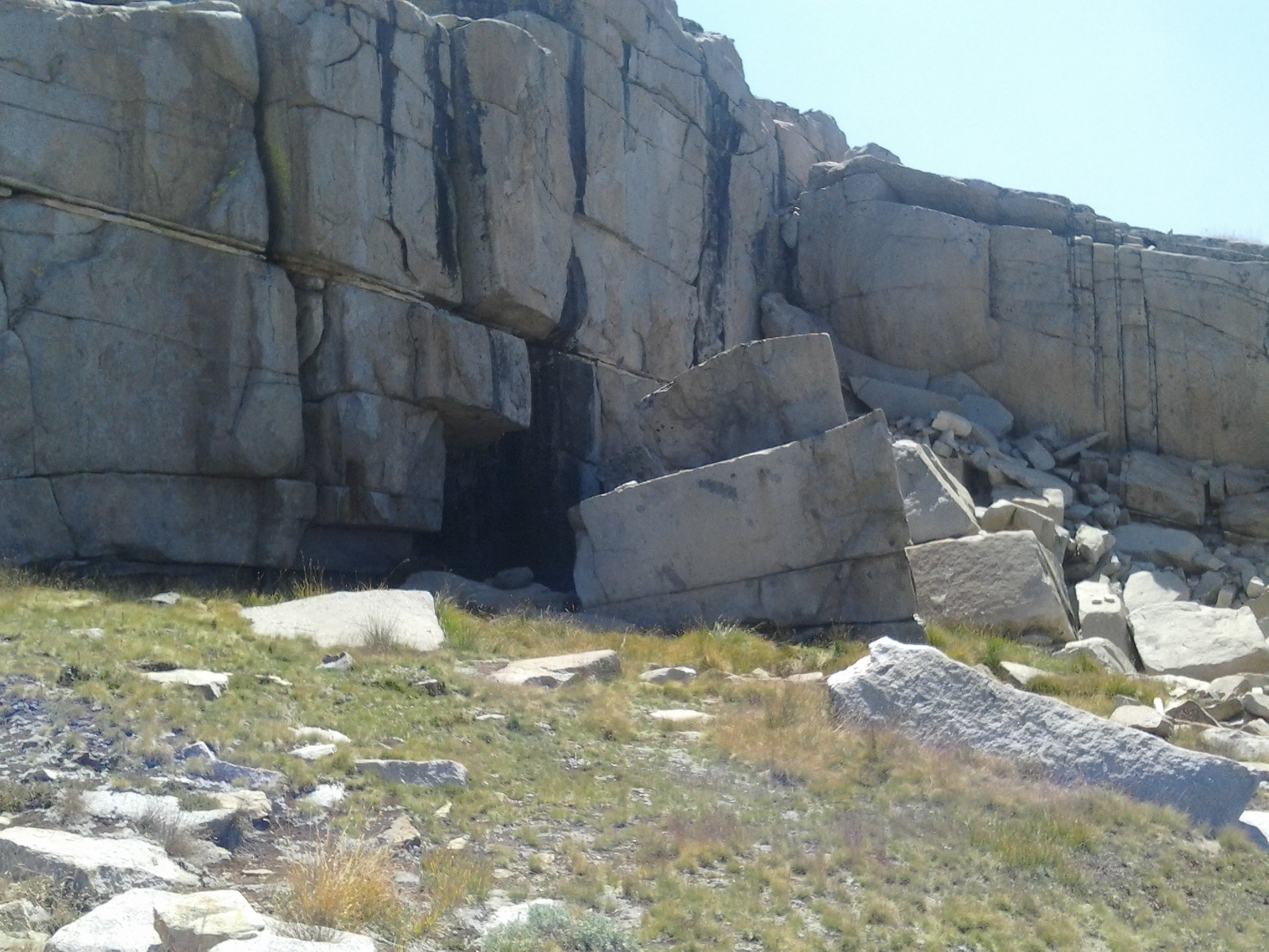 |
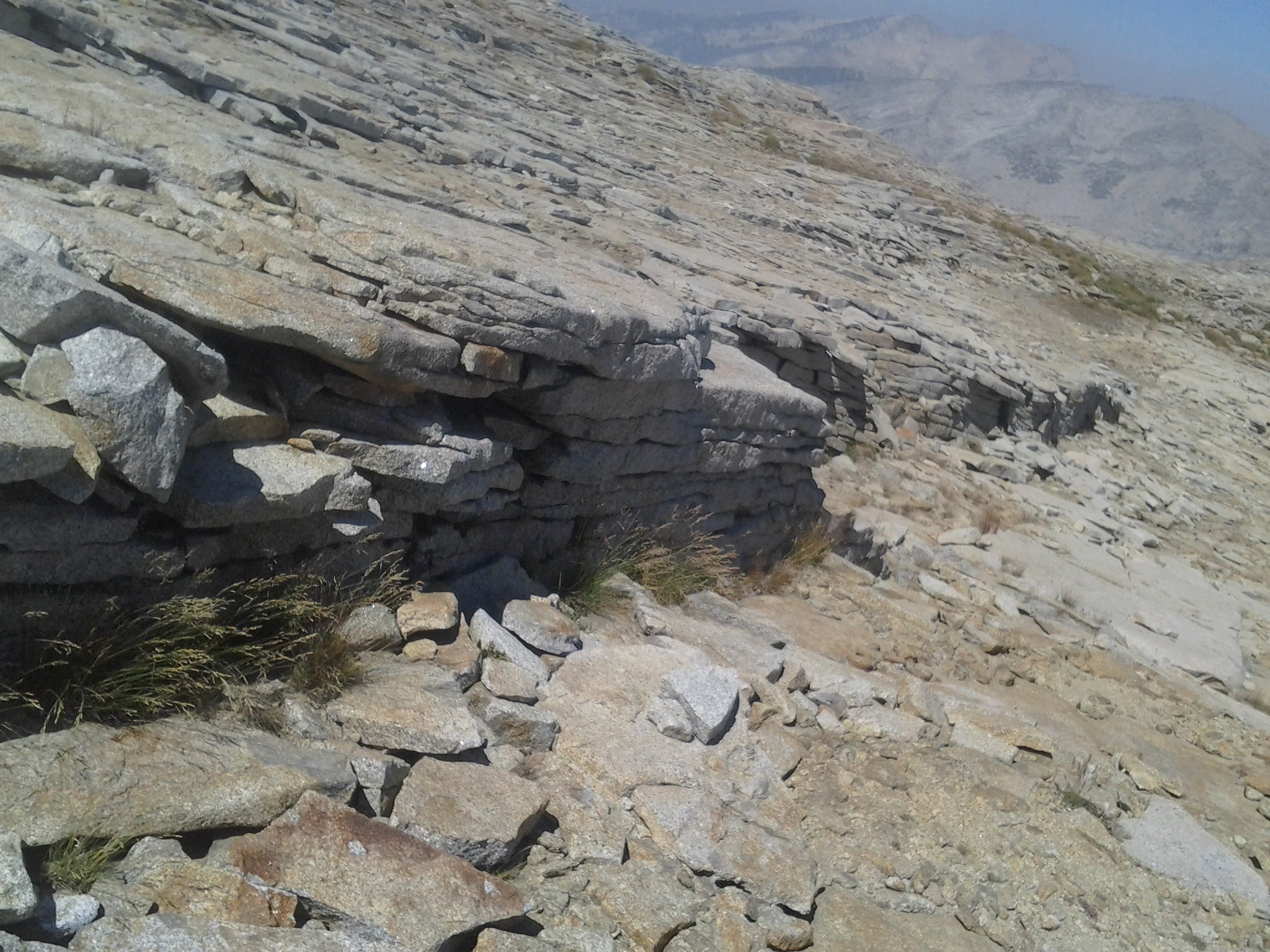
| Rock was just 'spit' out |
 |
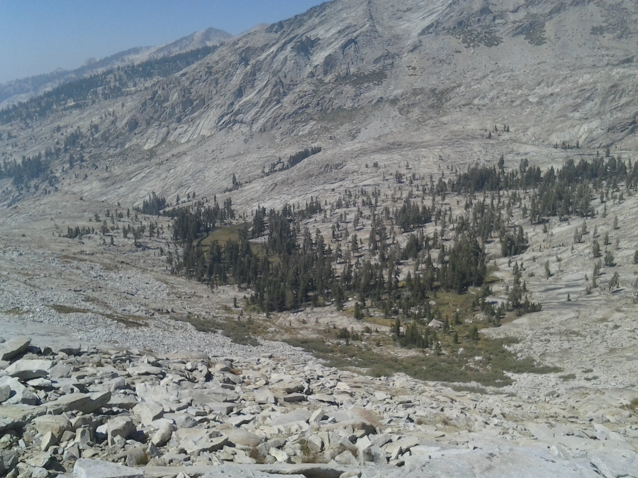
| Overlooking Table Meadows from the South |
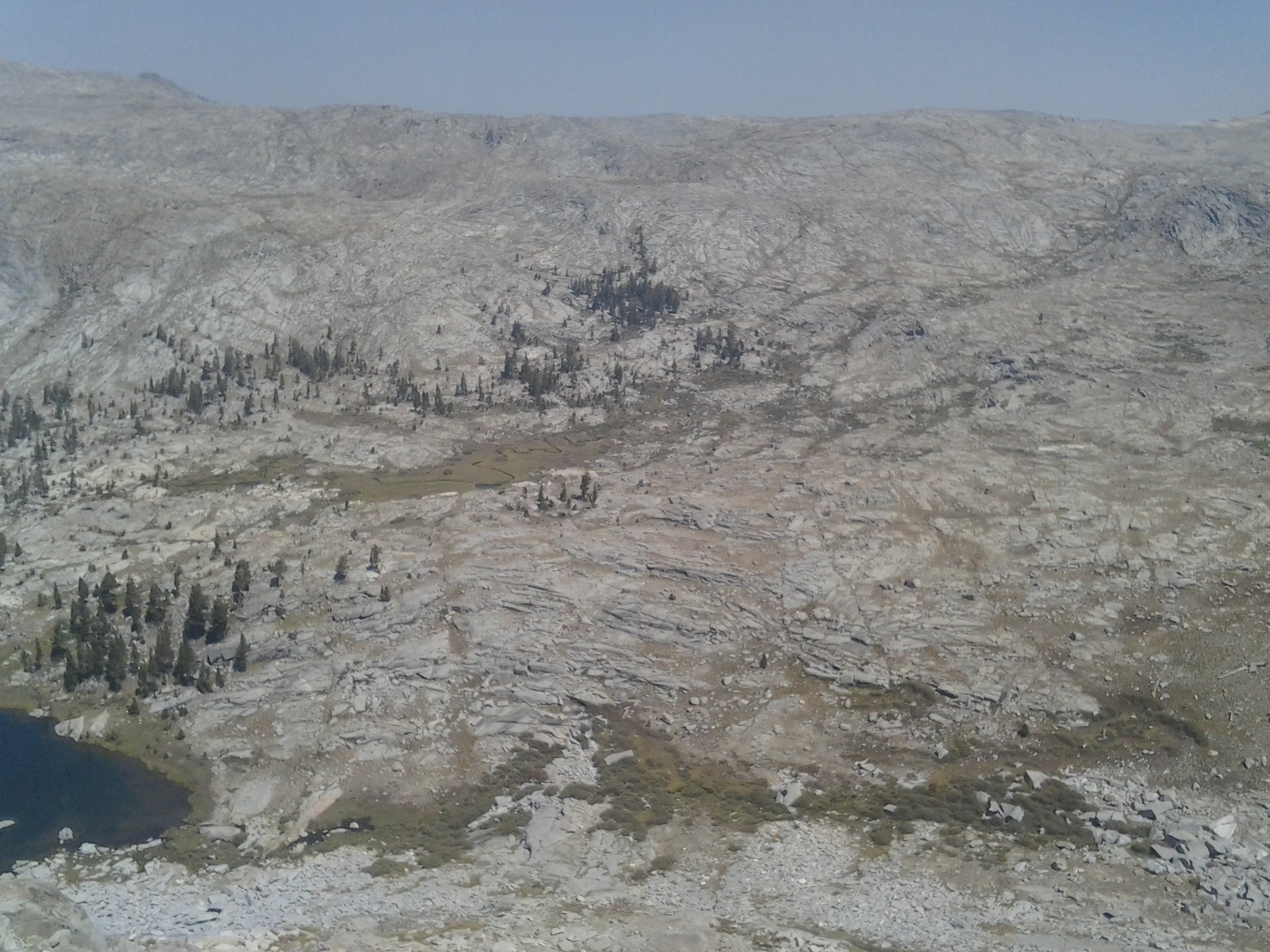 |
| Looking across to lake 10,559 (not seen) and headwaters of Marble Fork |
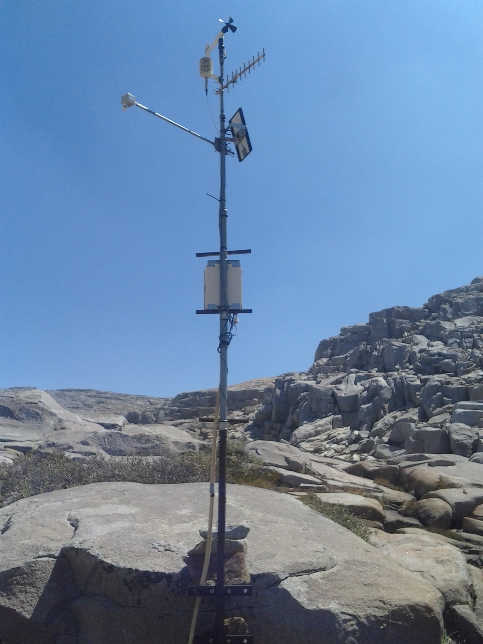 |
| Weather station above Pear Lake |
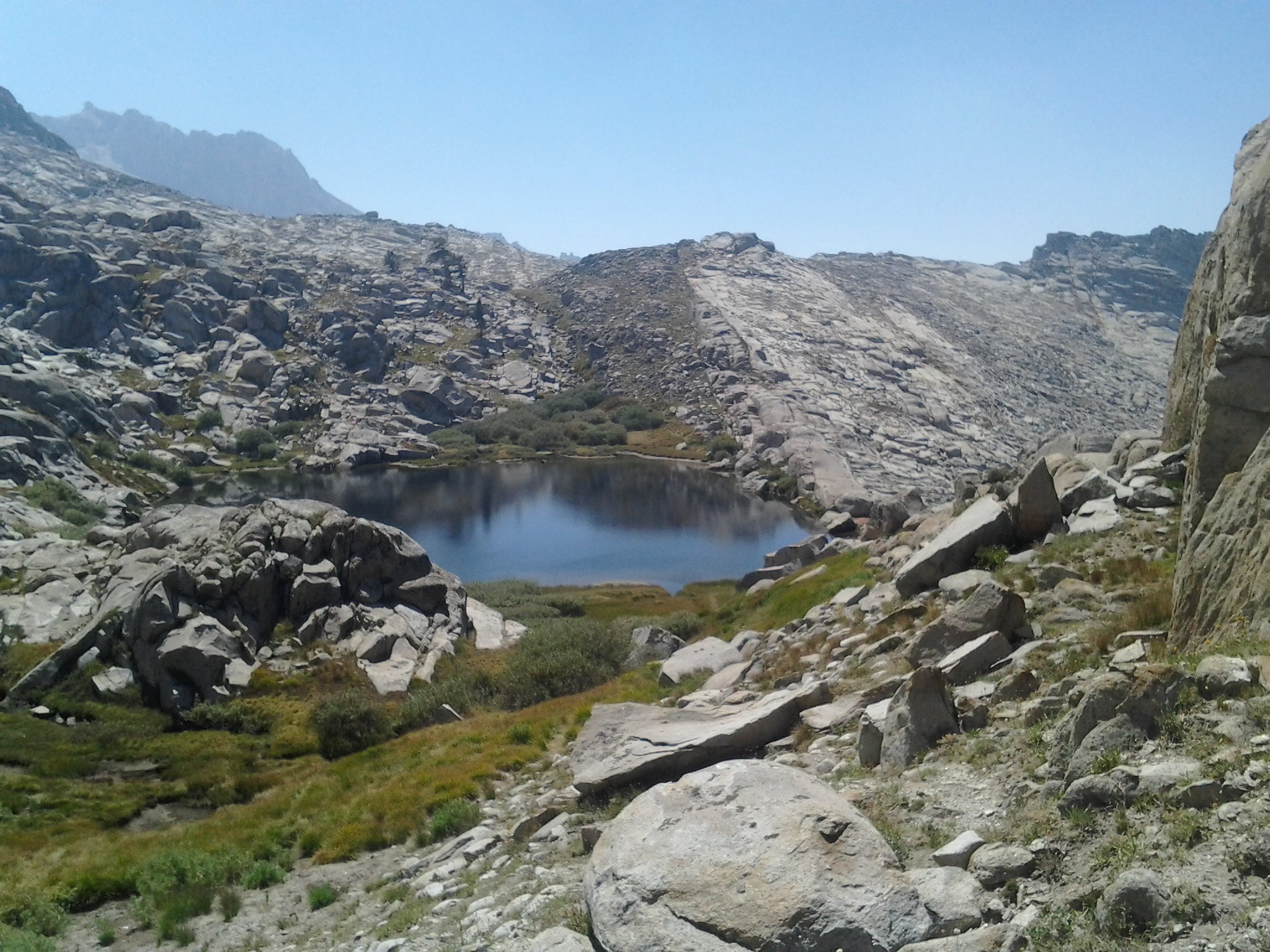 |
| Unnamed lake above Pear |
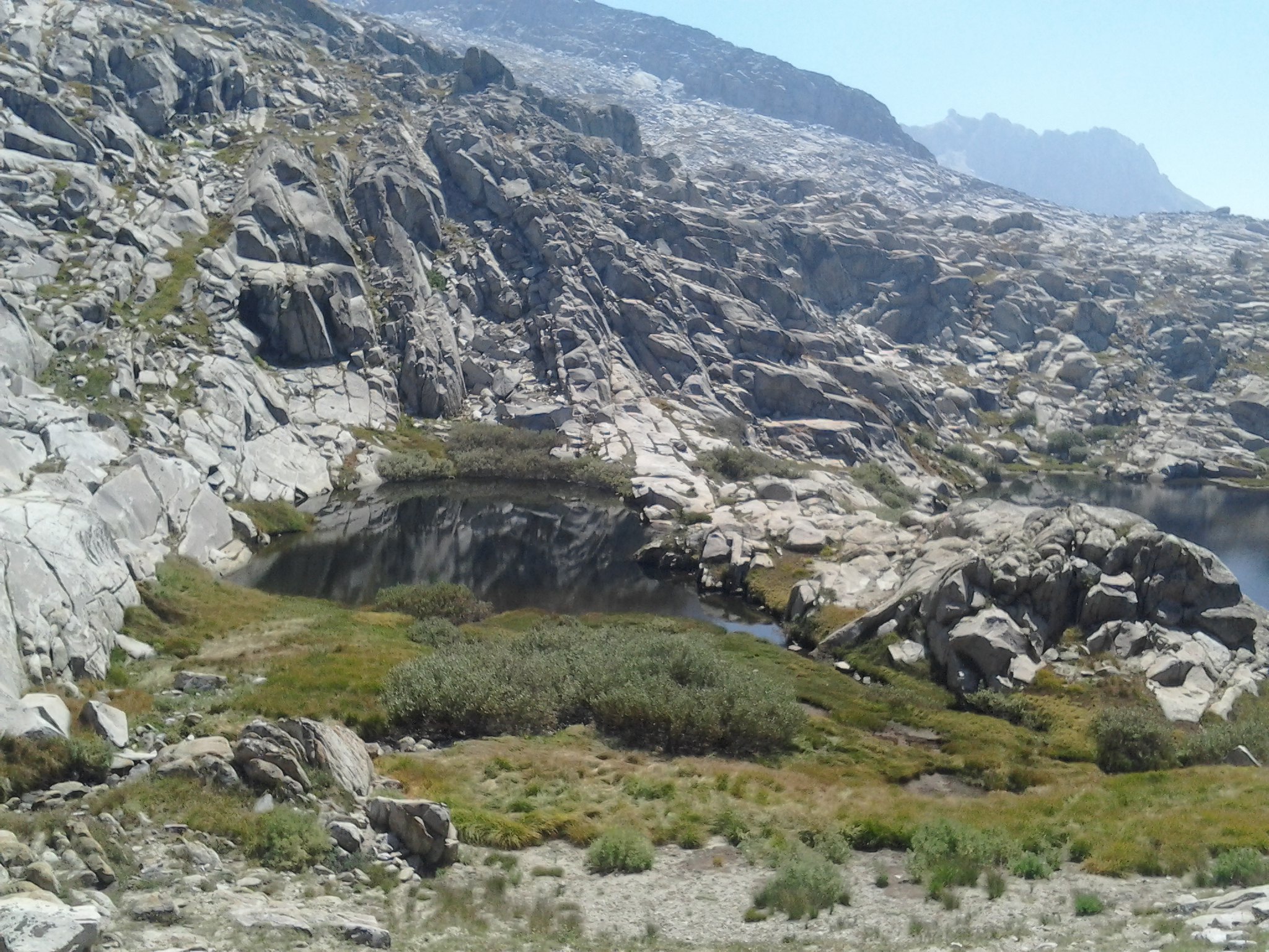 |
| These actually had fish in them |
 |
| Cool meadow around the corner from Pear |
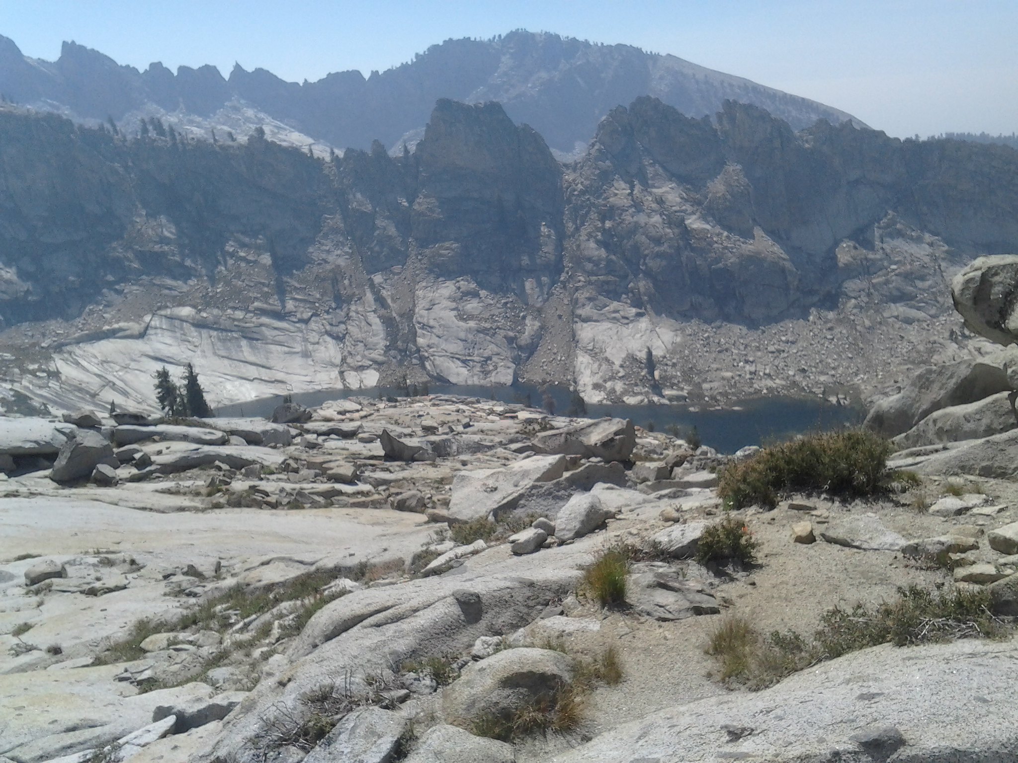 |
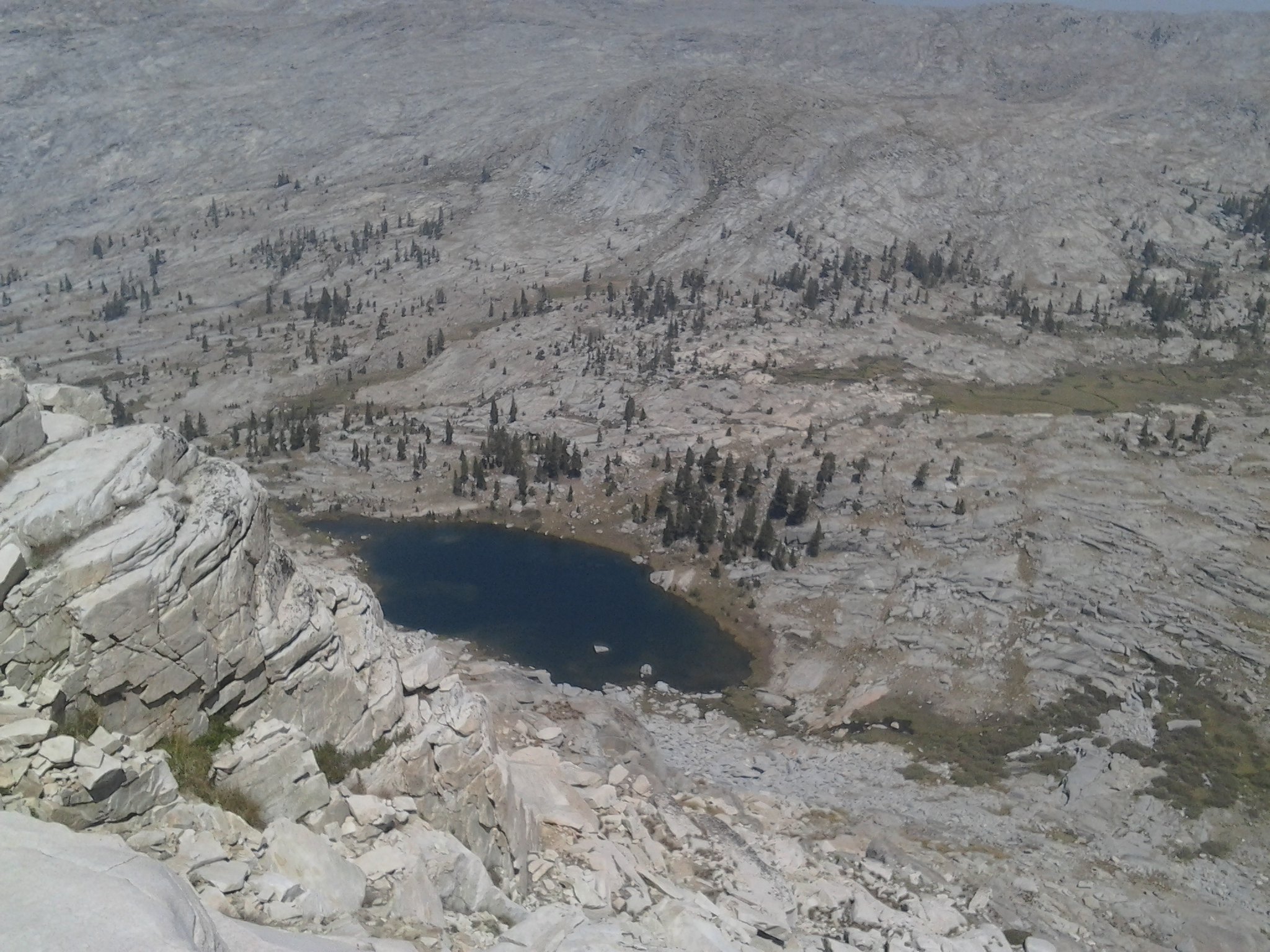
| Overlooking Pear Lake from the North |
 |
| Looking down Tokopah Valley |
A truly magical place, I'll for sure come back here again and stay a little longer.

No comments:
Post a Comment