
Map can be found HERE
Day 1: Wolverton - Pear Lake
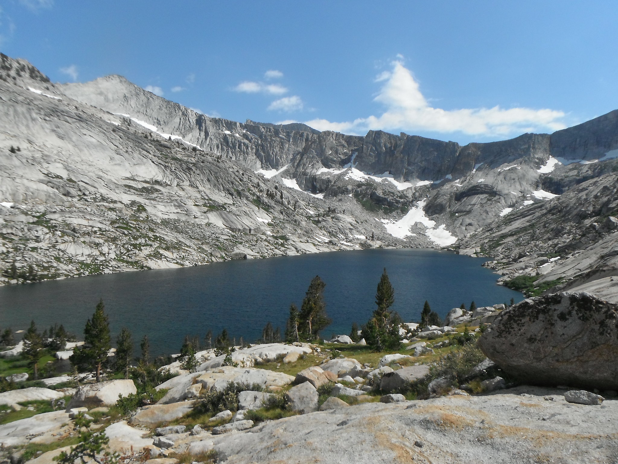
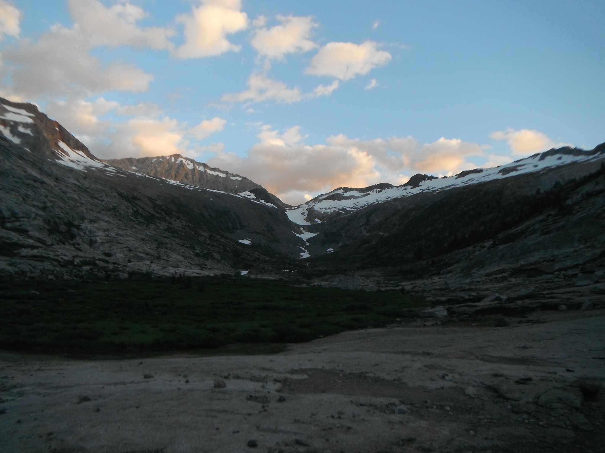
I got my permit Sunday afternoon and started Monday after work. The great thing about working in Sequoia is that I can start hiking 30 minutes after work! I made it to Pear before 8 and grabbed one of the sites high on the southwest side of the lake overlooking the basin.
Day 2: Pear Lake - Big Bird Lake
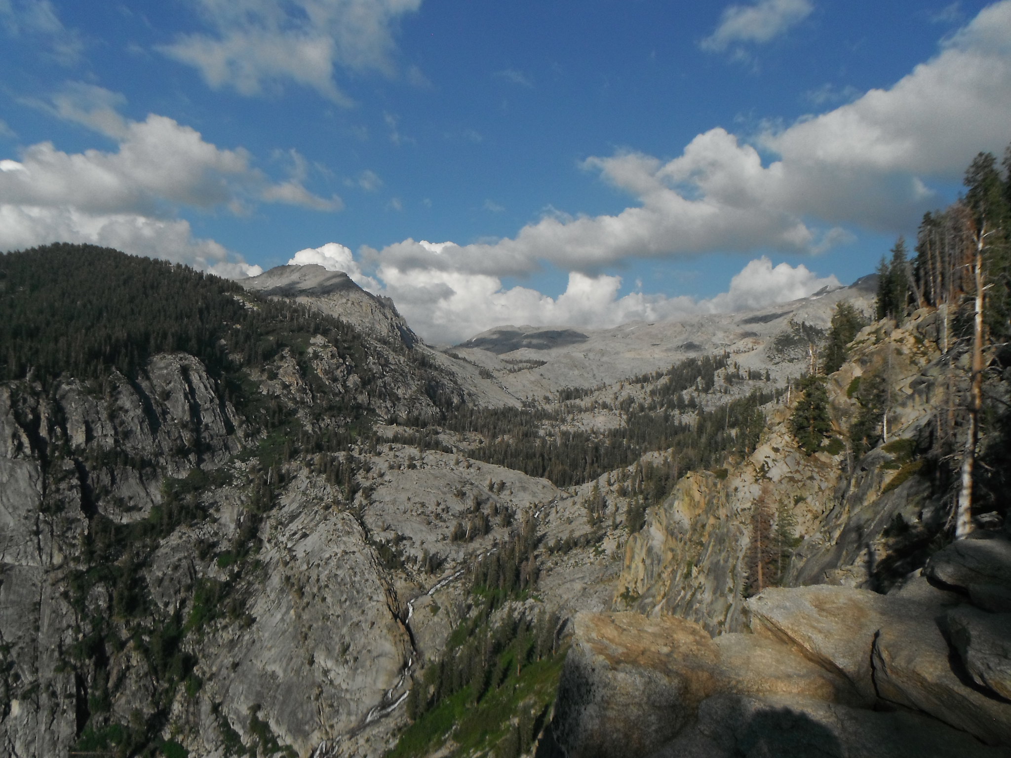
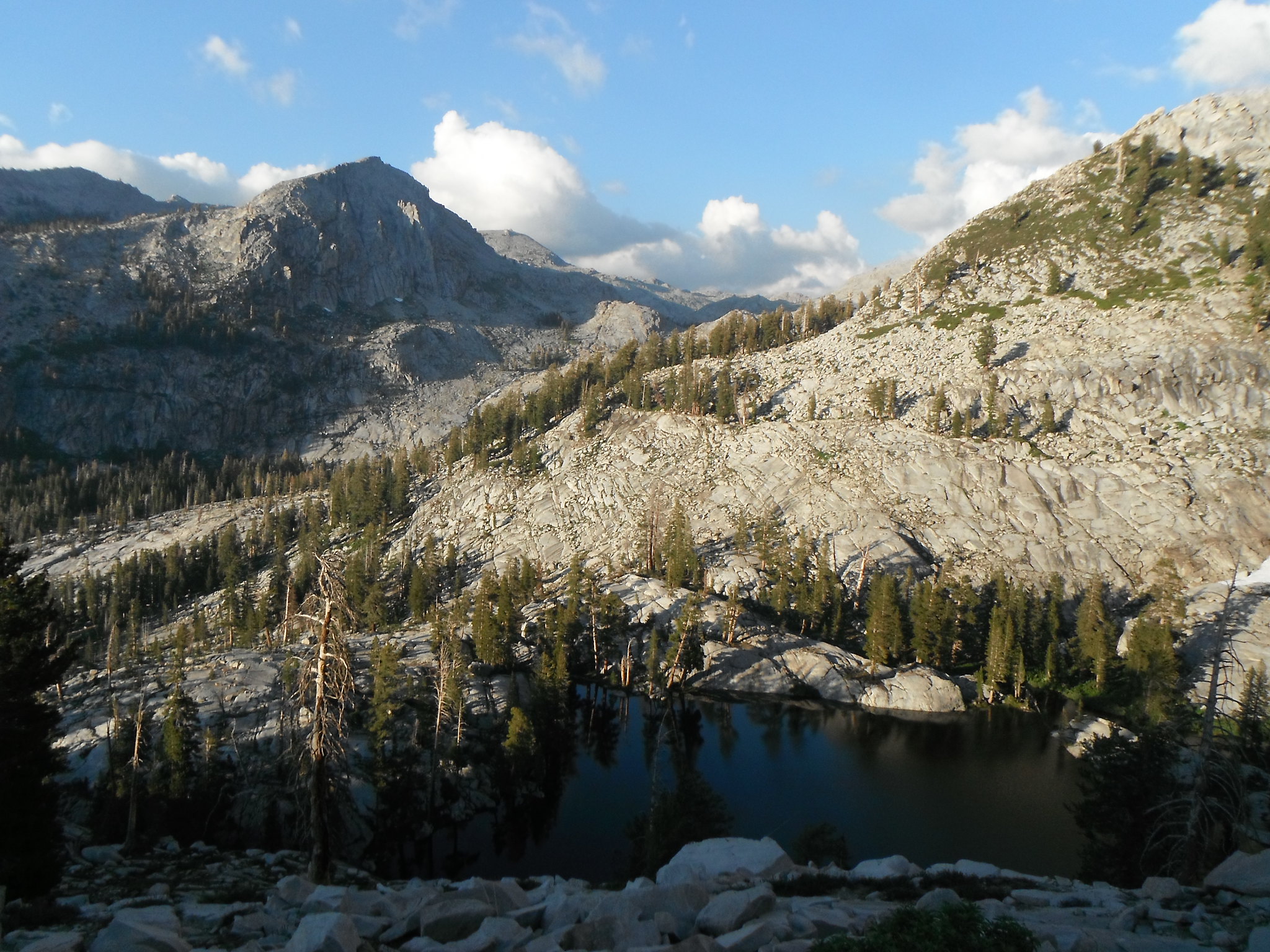
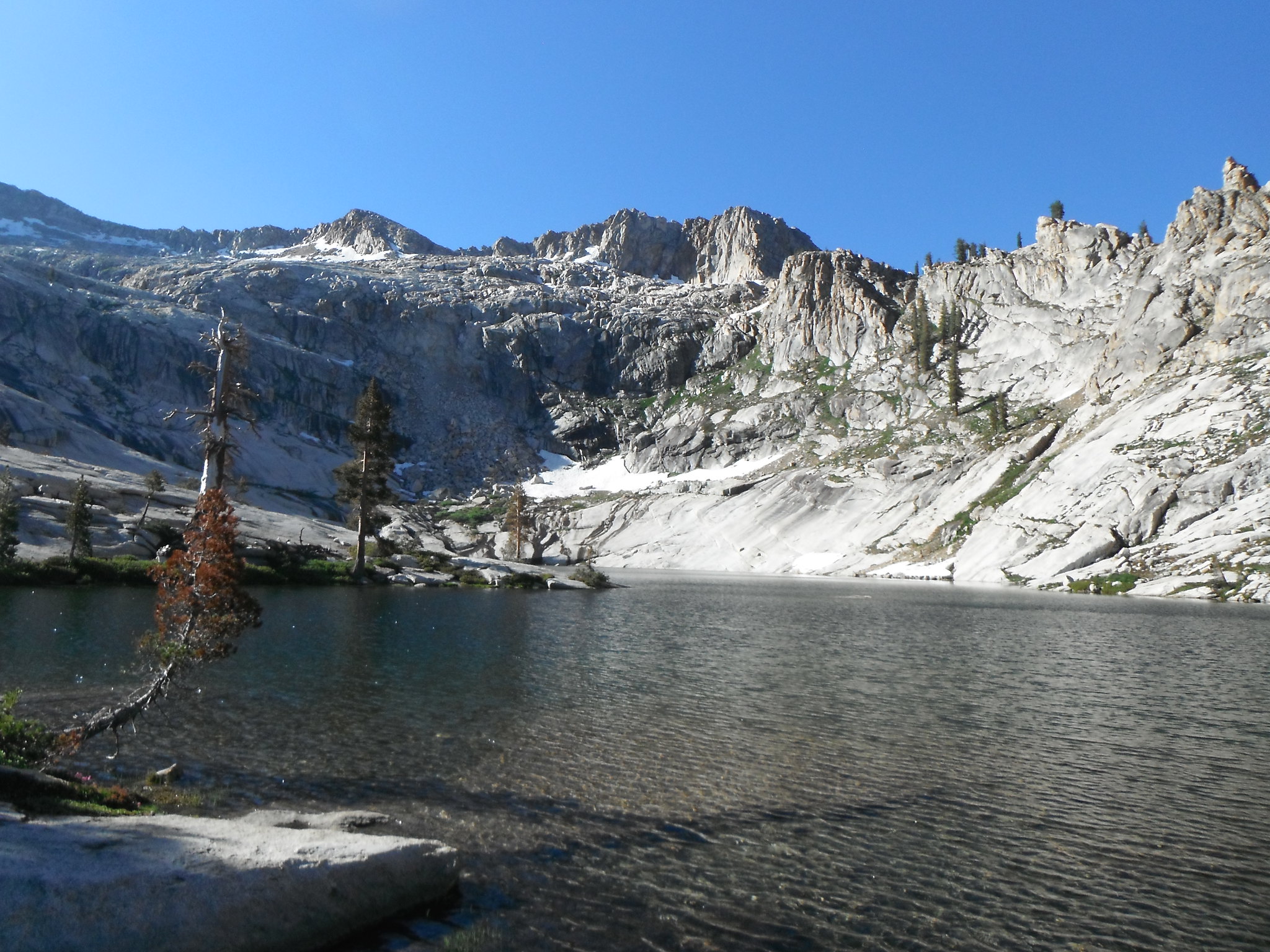
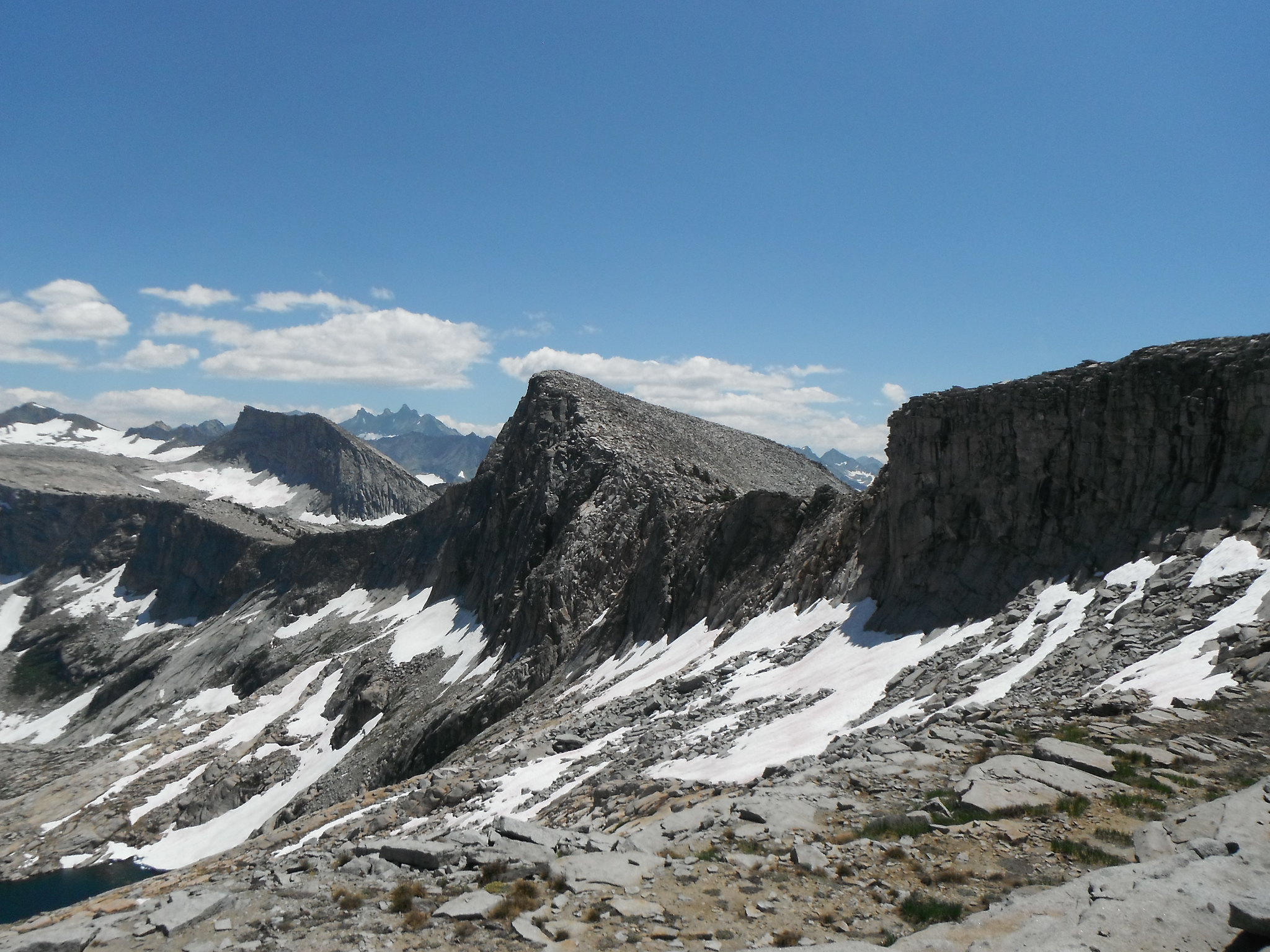
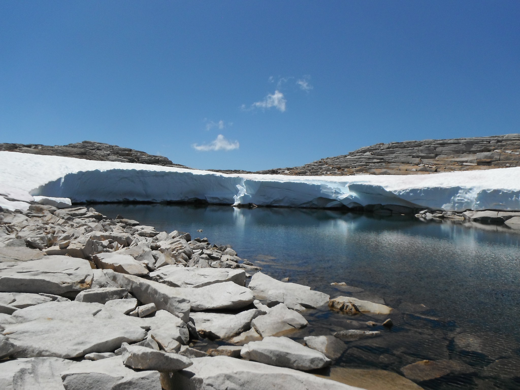
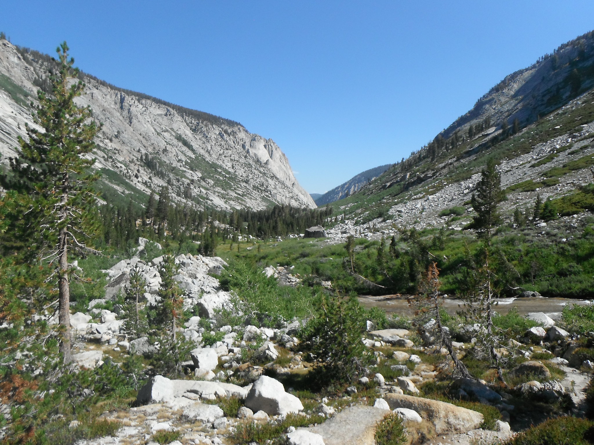
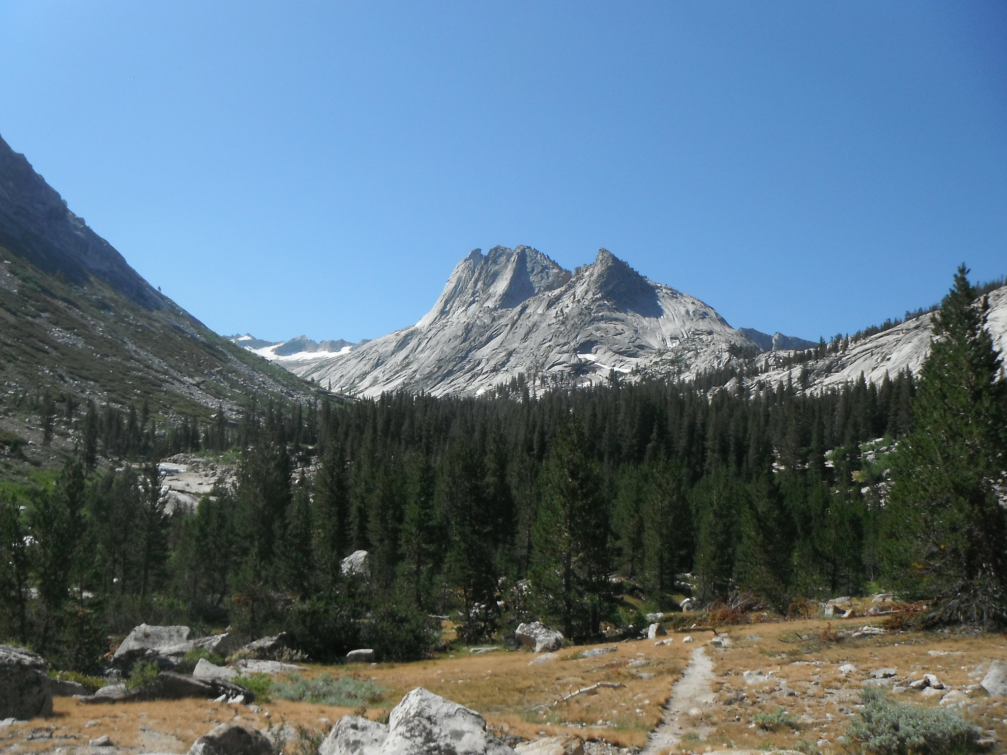
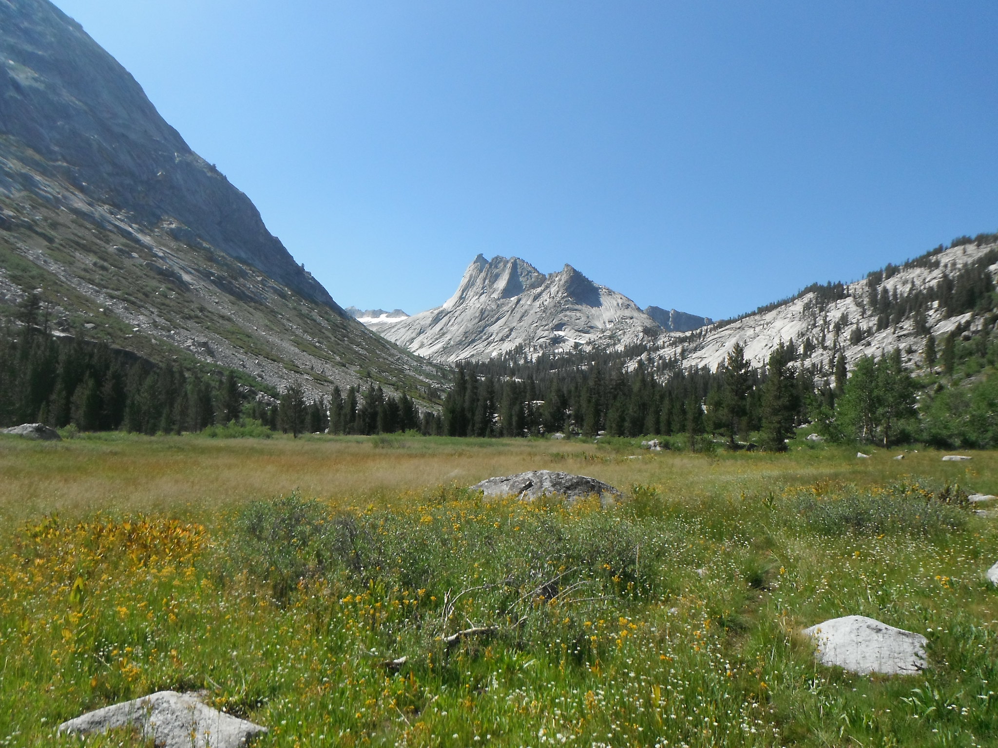
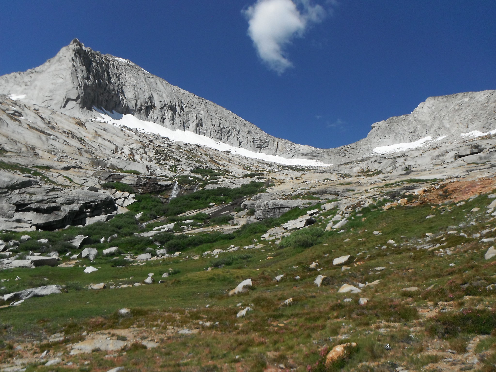
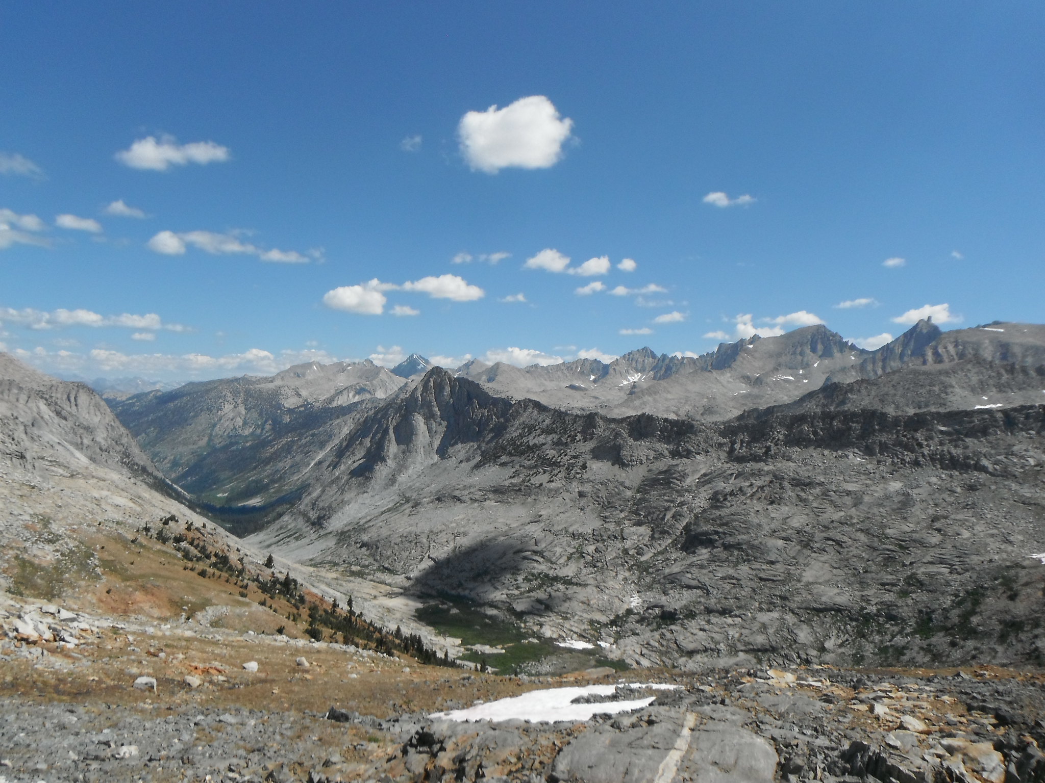
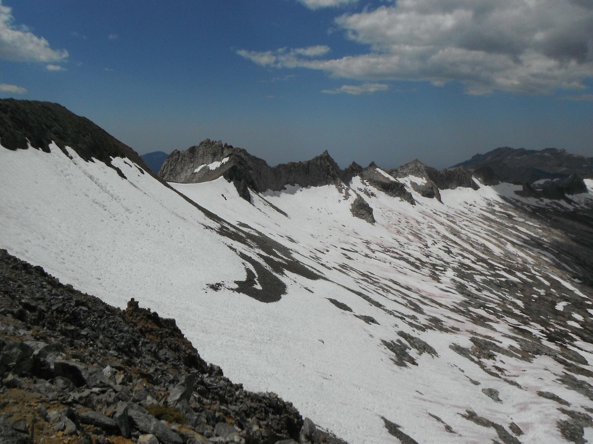
Tuesday morning I headed up to the Tablelands as I did the weekend before. I should note that these pictures are actually from the weekend before, I covered the same terrain and didn't feel it necessary to take more pictures. Plus I wanted to save my battery. I took the use trail east up and over the hill right past the "Matterhorn". Continuing up the drainage I soon found myself overlooking Moose Lake. I headed NE over the "sky bridge" between Table Meadows and Moose Lake drainage before aiming for the Kings-Kaweah Divide. It was along this route that I found my first Sierra balloon!!! I had lunch at a great little lake right on the divide with awesome views to the east. Heading down to the lakes above Big Bird was straight forward, although getting down to Big Bird itself was not. A couple times I had to backtrack as I got cliffed out but eventually made it to the outlet. I didn't see any immediate campsites on the water, but found a fantastic spot overlooking Deadman Canyon. The sun set early inside those steep canyon walls and I welcomed sleep as I awaited the next day.
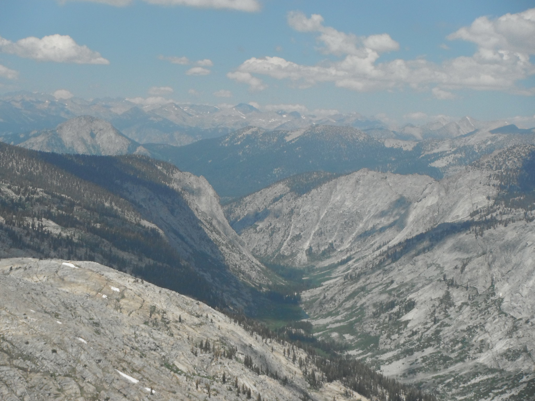
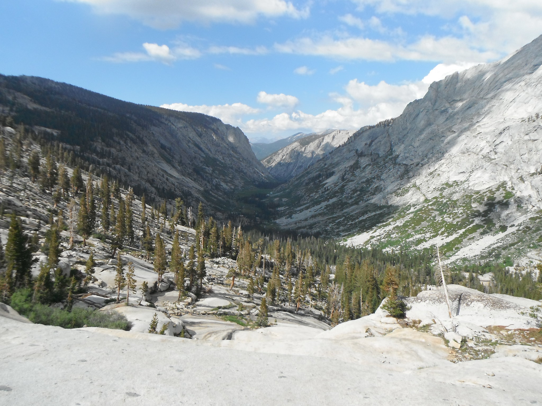
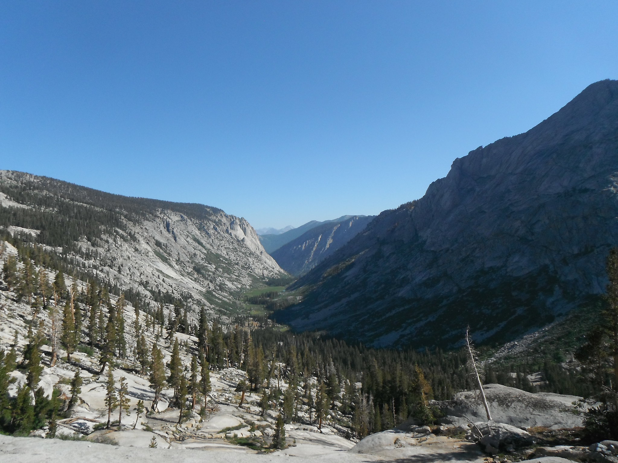
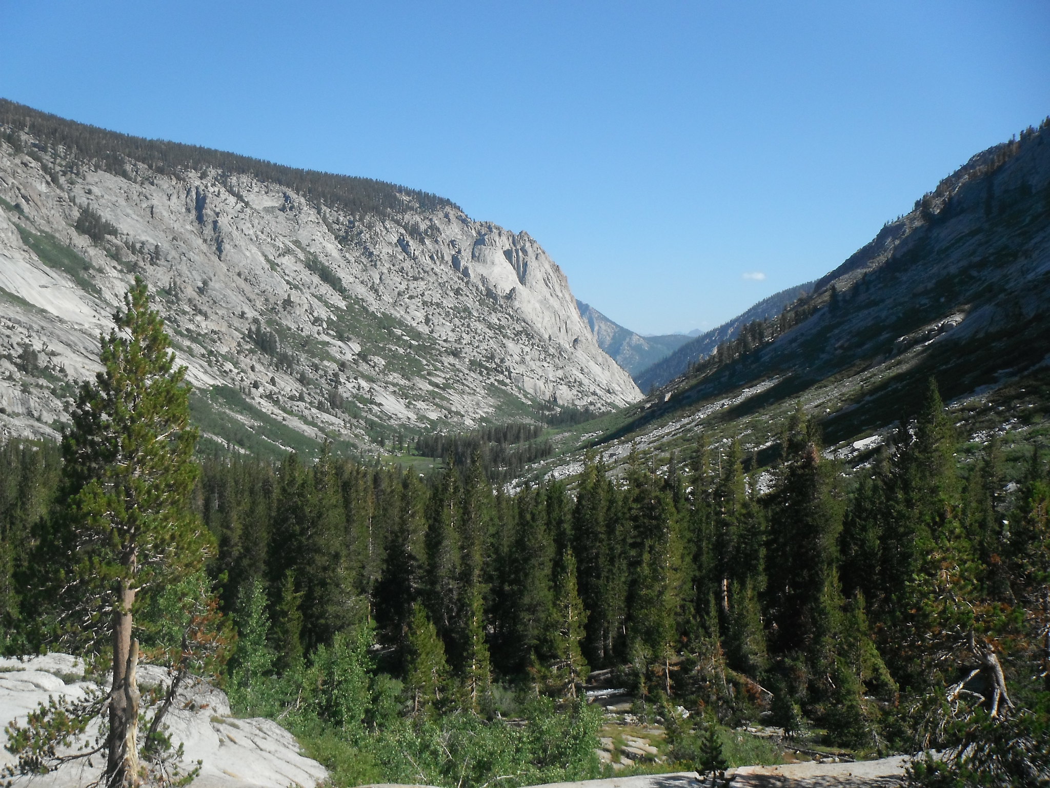
Tokopah Valley by Zachary Just, on Flickr
Aster Lake by Zachary Just, on Flickr
Pear Lake by Zachary Just, on Flickr
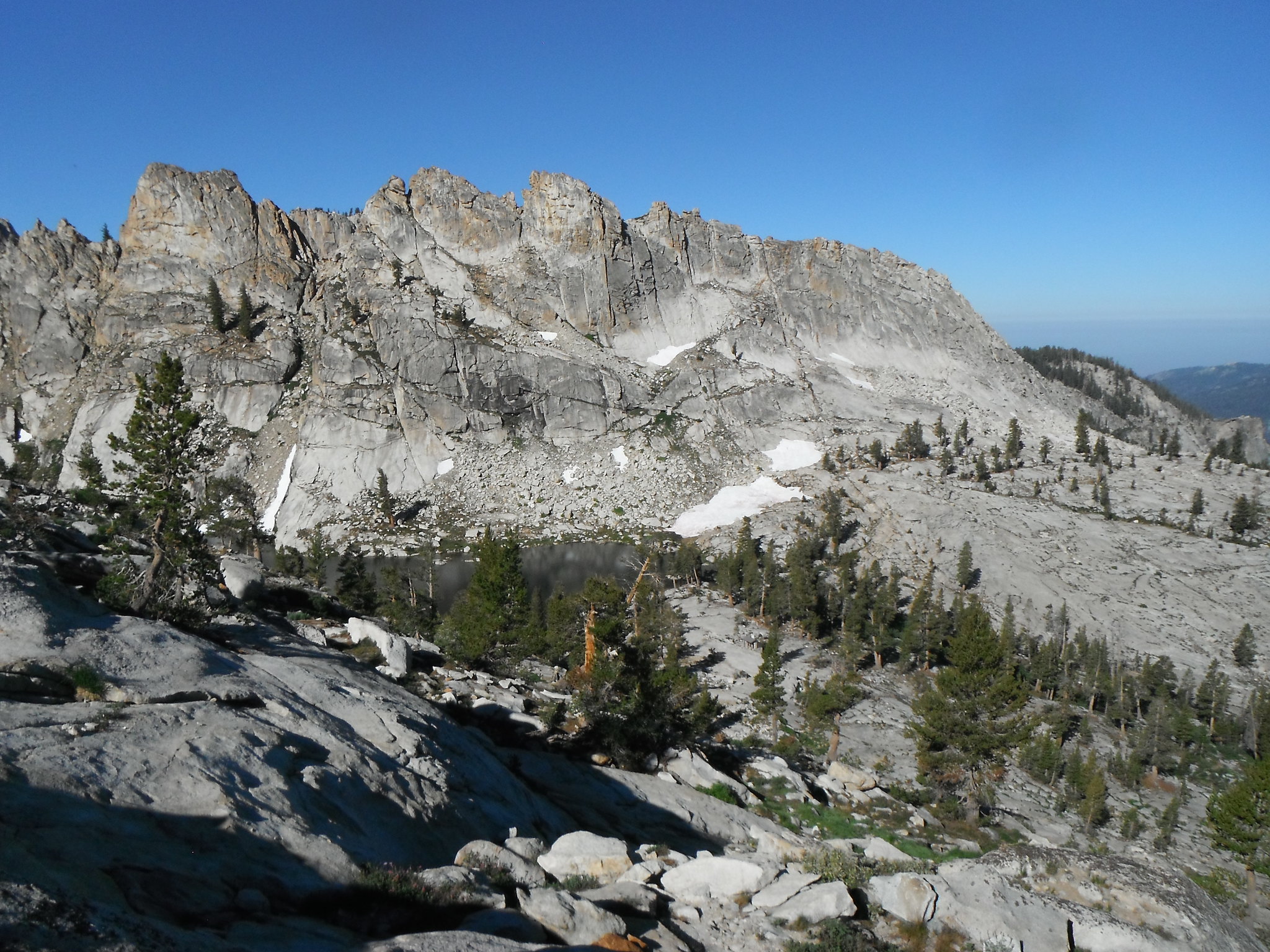
Looking down on Pear Lake by Zachary Just, on Flickr

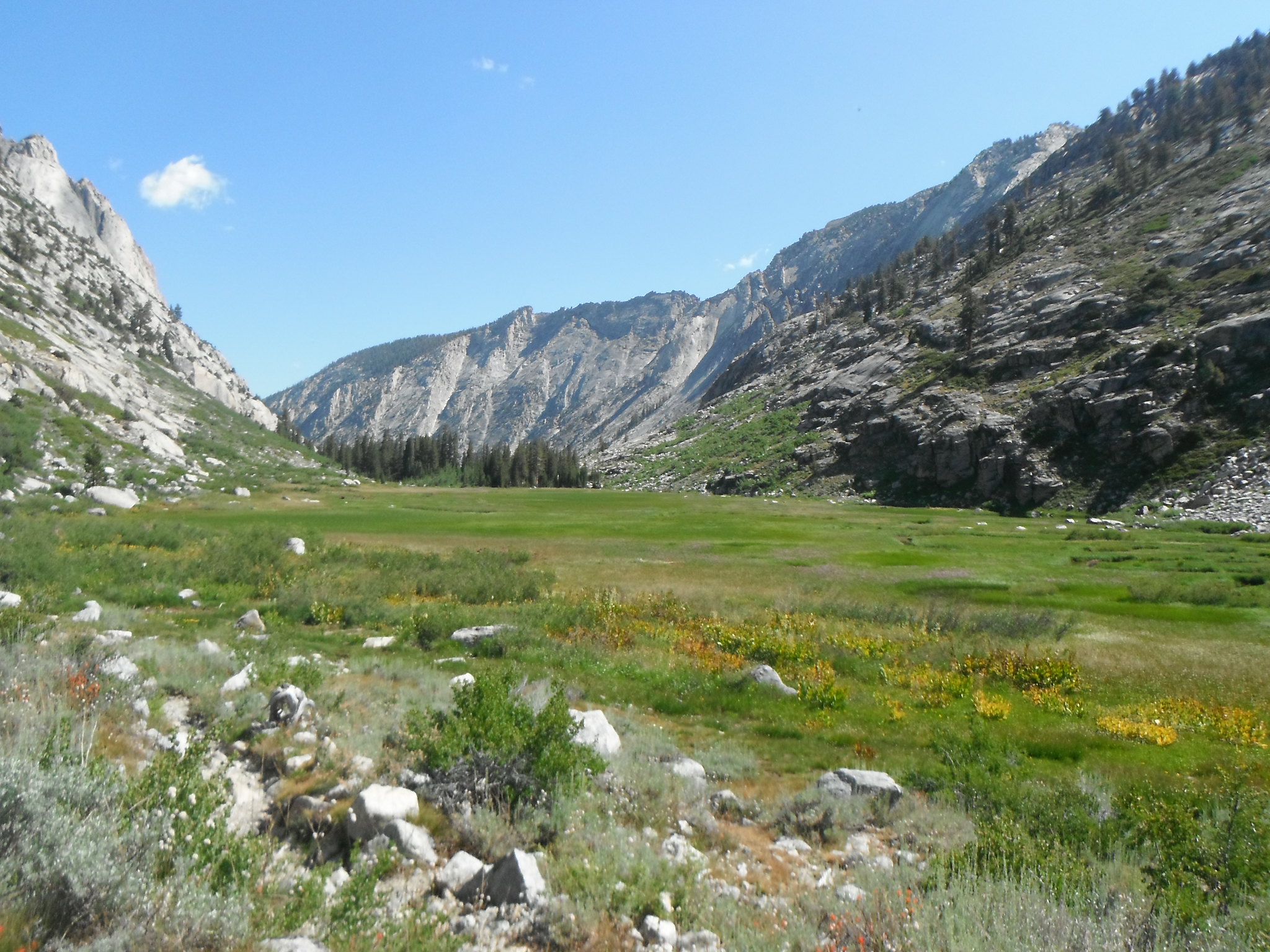
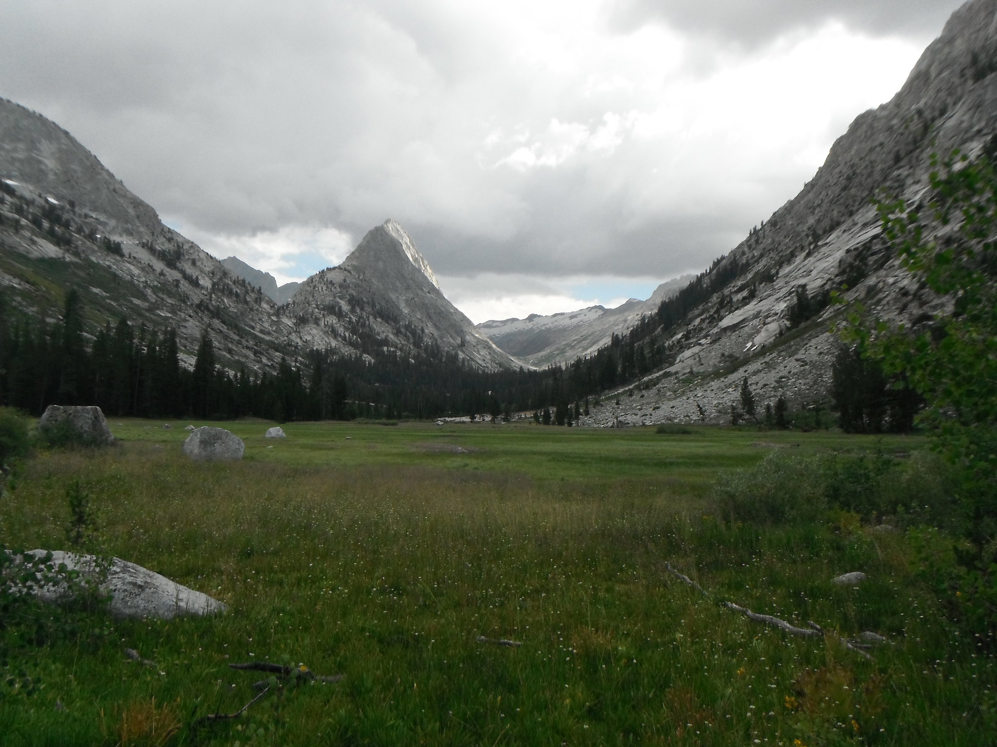
Meadow above Pear Lake by Zachary Just, on Flickr

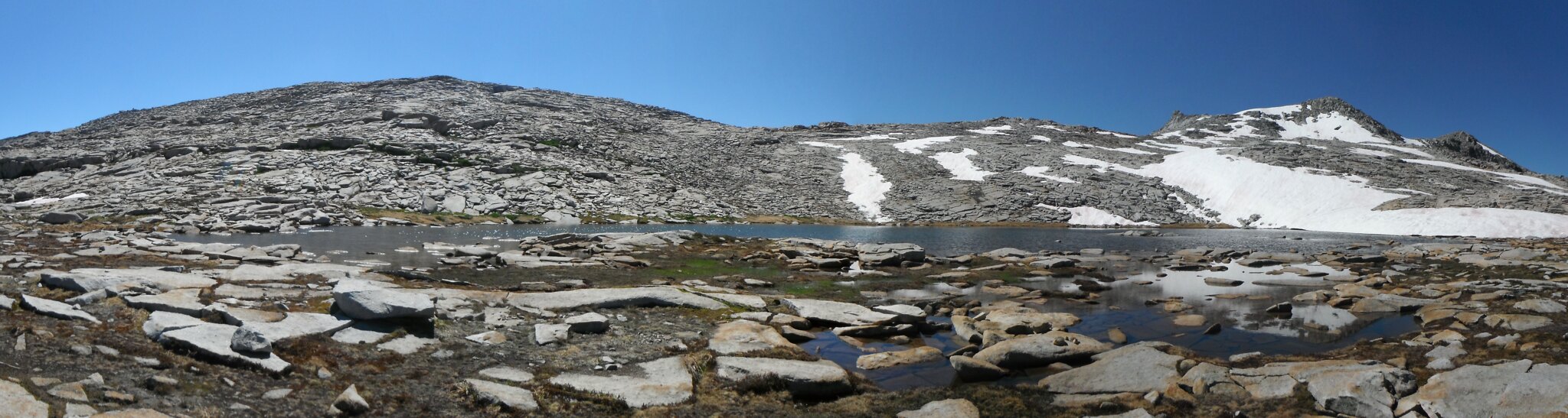
Lower Tablelands by Zachary Just, on Flickr
MoosePano1 by Zachary Just, on Flickr
Tarn in Tablelands by Zachary Just, on Flickr

Upper Buck Creek by Zachary Just, on Flickr
"Frog" Lake and Table Meadows by Zachary Just, on Flickr
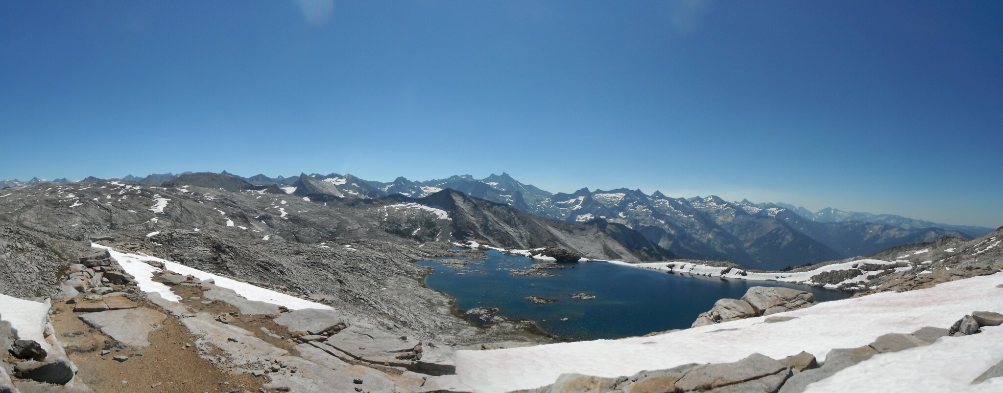
TablelandsPano1 by Zachary Just, on Flickr
TablelandsDividePano by Zachary Just, on Flickr

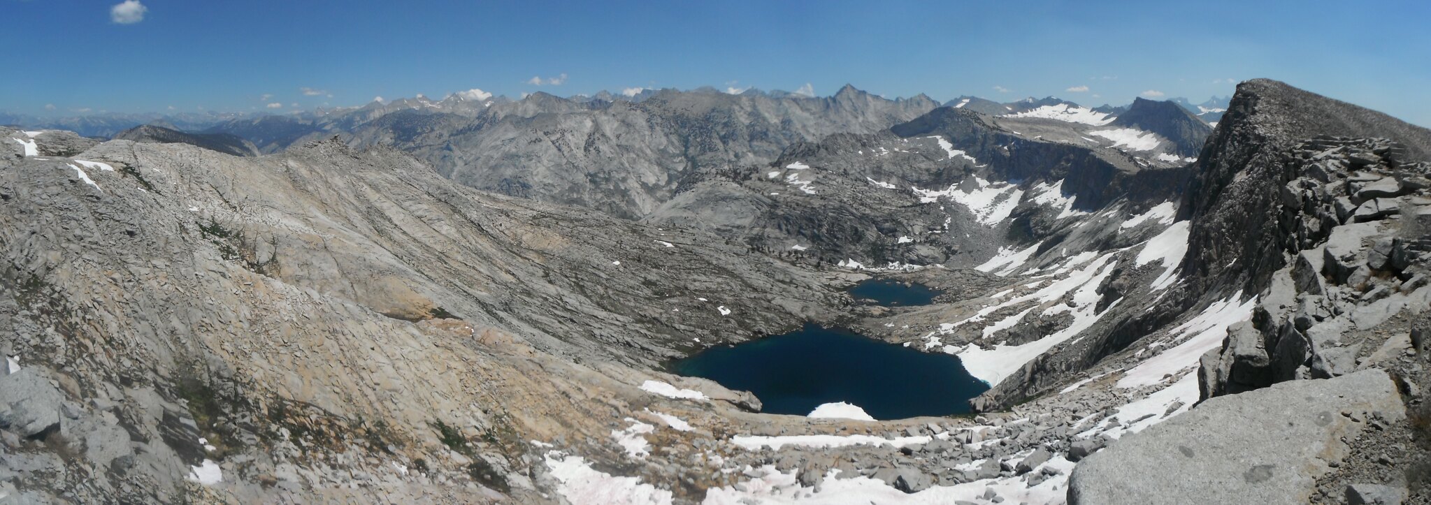
BigBirdPano by Zachary Just, on Flickr
BigBirdPano2 by Zachary Just, on Flickr
Southern GWD by Zachary Just, on Flickr
Deadman Canyon by Zachary Just, on Flickr
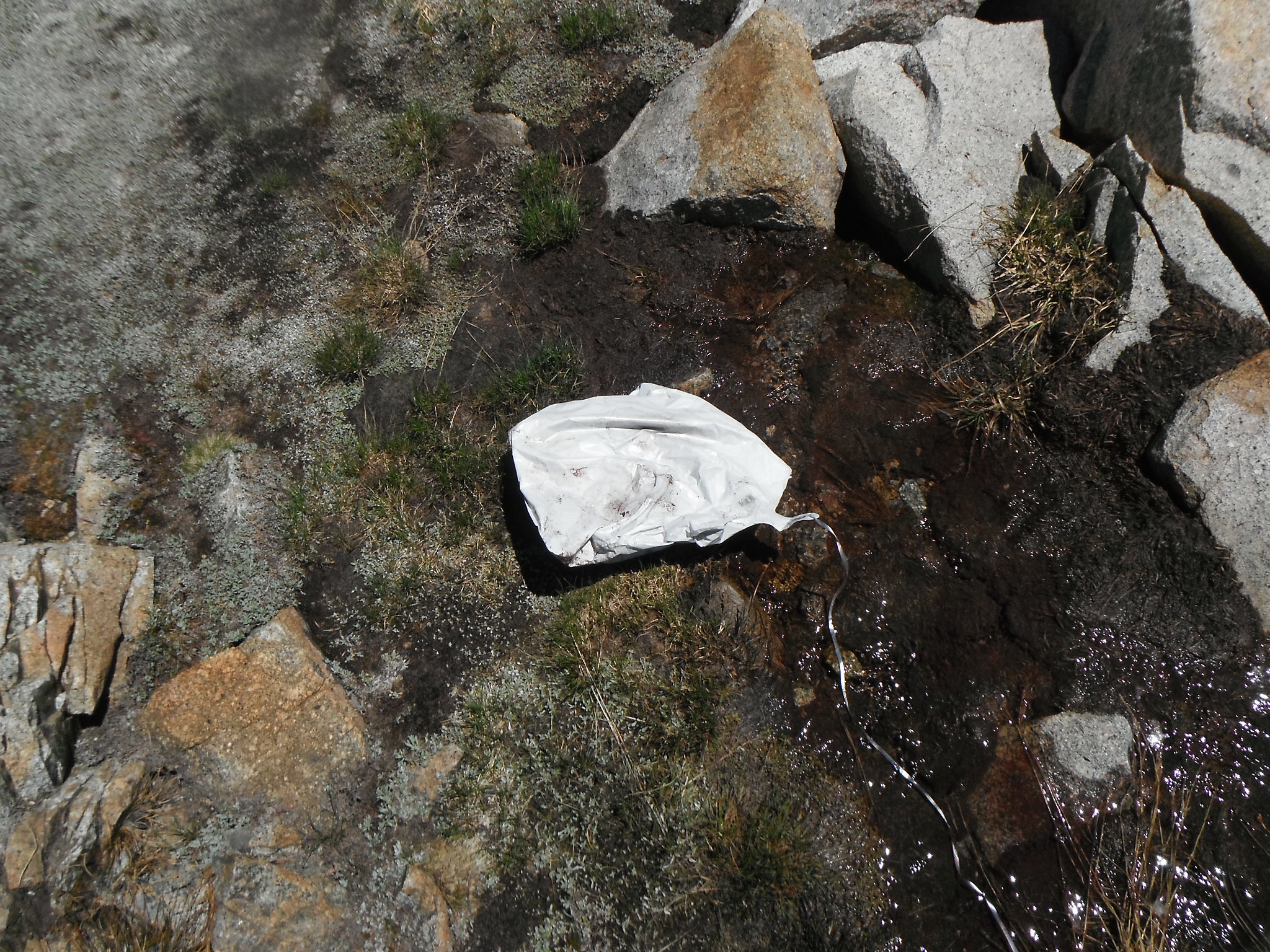
My first Sierra Balloon by Zachary Just, on Flickr
View from Kings-Kaweah Divide by Zachary Just, on Flickr

GWD from K-K Divide by Zachary Just, on Flickr
Lake on Kings-Kaweah Divide by Zachary Just, on Flickr

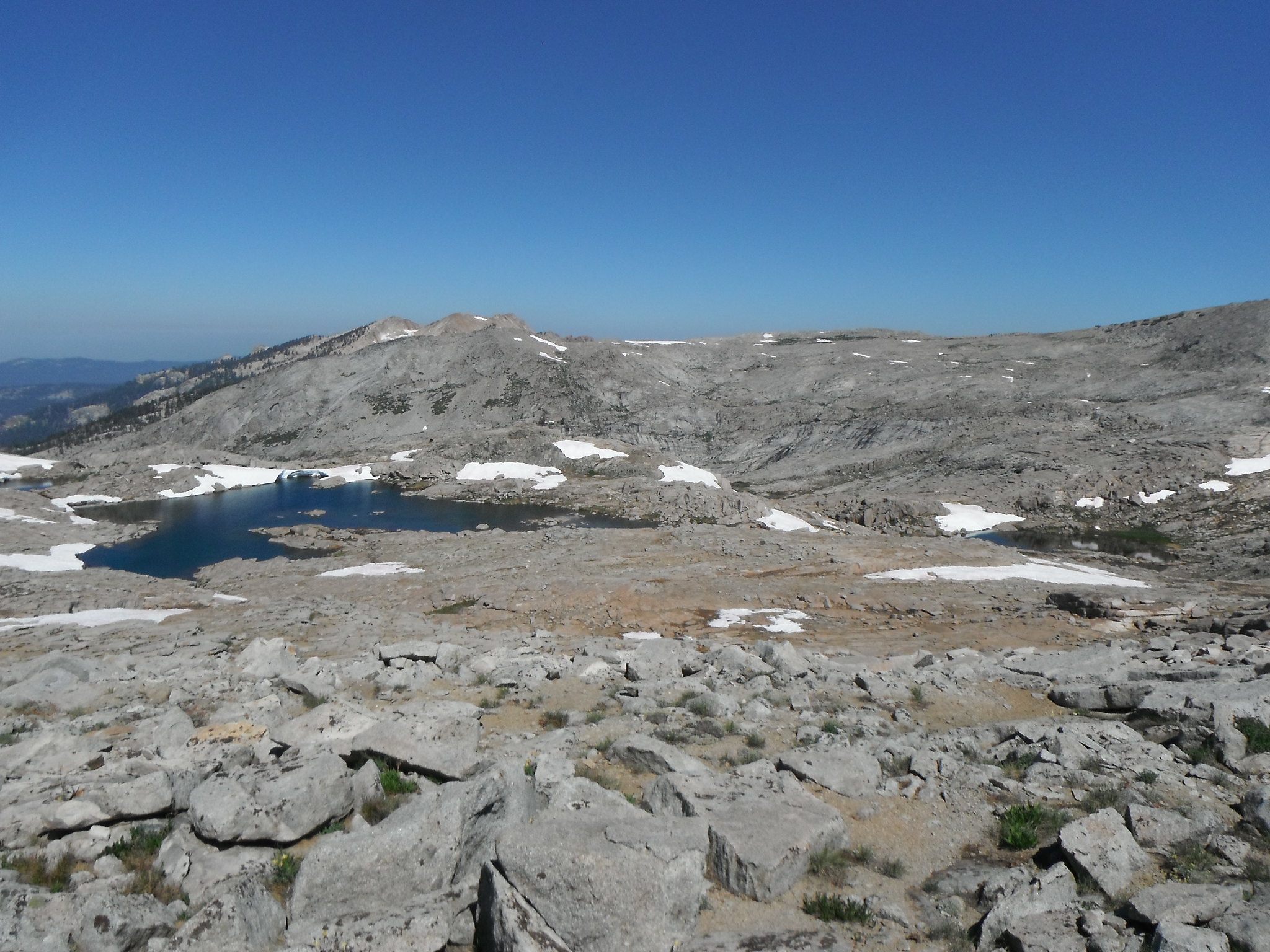
Lakes above Big Bird Lake by Zachary Just, on Flickr

Lakes above Big Bird Lake by Zachary Just, on Flickr
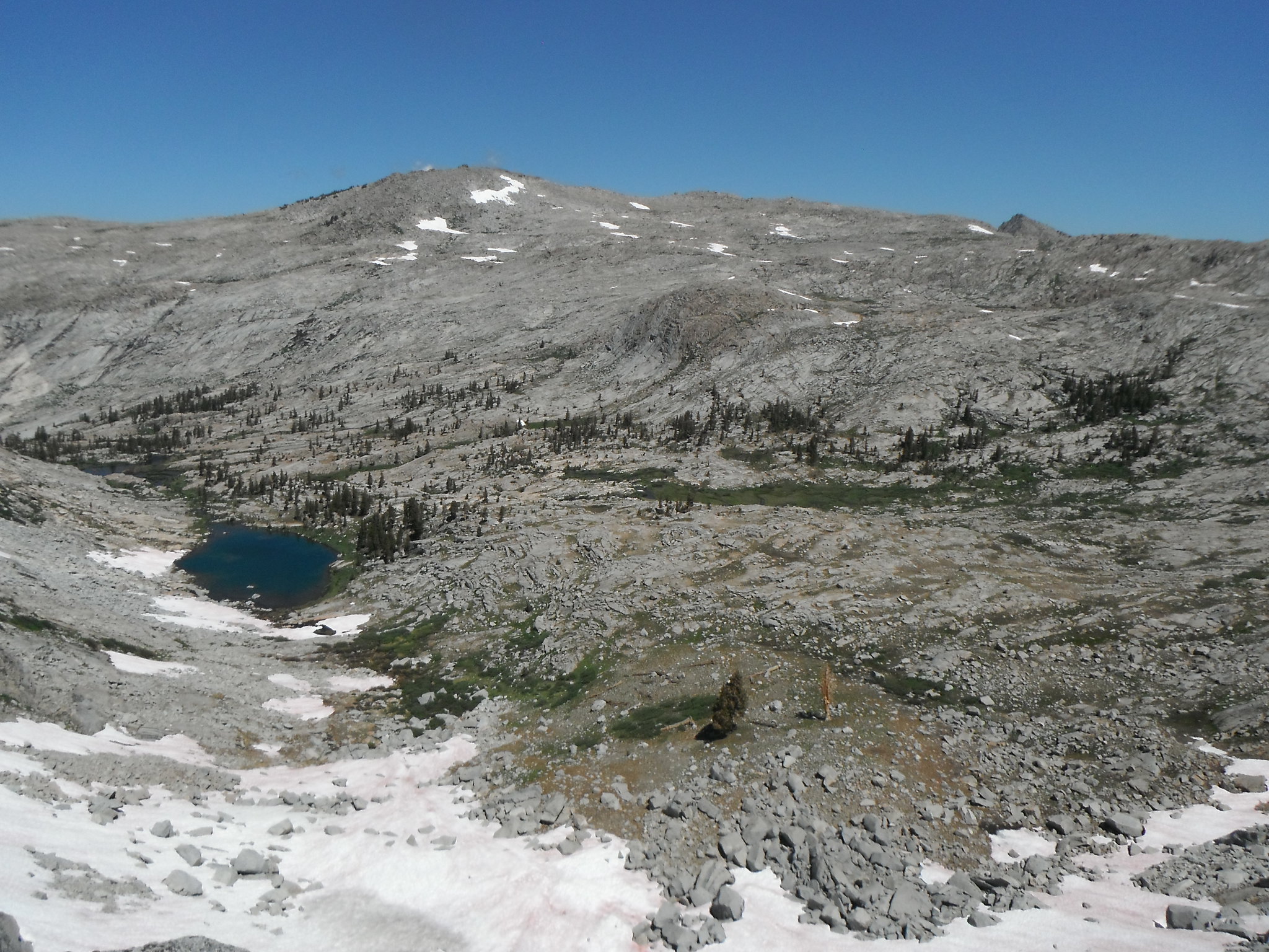
Big Bird Lake by Zachary Just, on Flickr
Day 3: Big Bird Lake - Cloud Canyon
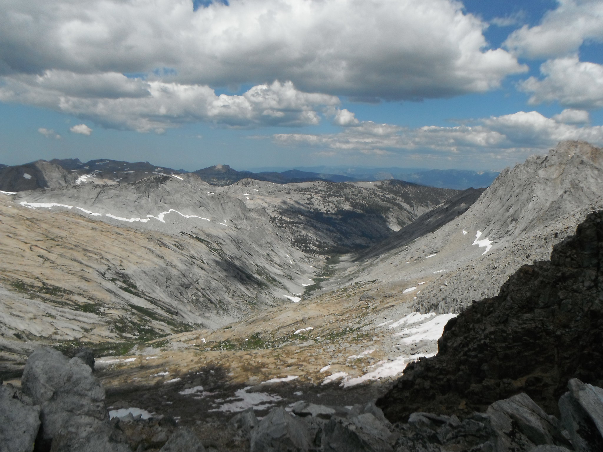
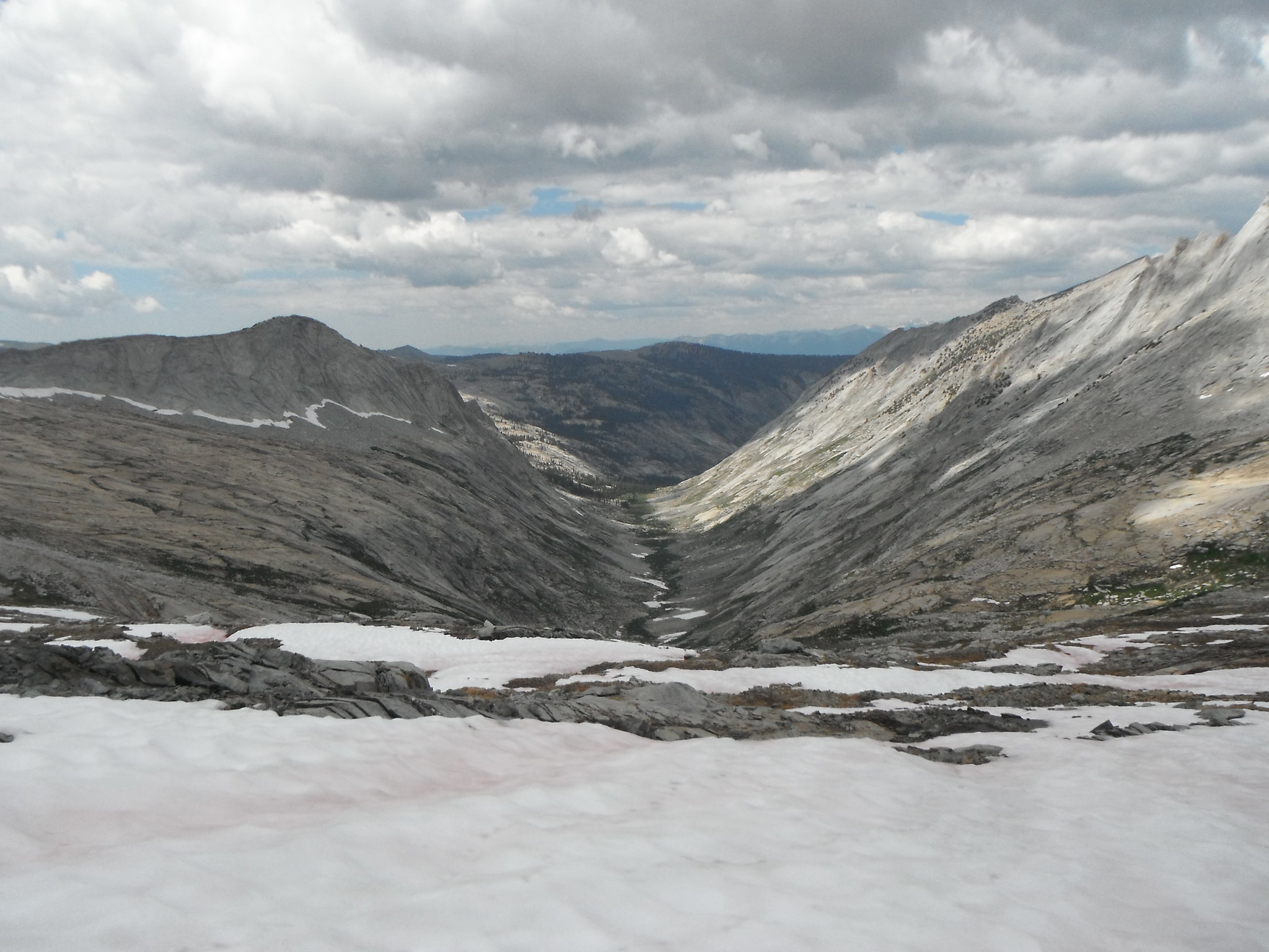
Wednesday morning I found my way down the slabs towards the trail following the creek from BB lake. I crossed upstream of it's confluence with Deadman Canyon creek because of all the underbrush. It was at this time that I made a banana out of my trekking pole. A quick bend and I had it straightened out, but it no longer collapses, making setting up my tarp a little more challenging. But I perservered and soon regained the trail and all that comes with it. On the north side of Ranger Meadow I met the Roaring River Ranger (Cindy? Kathy?) and a couple of cowboys out doing trail brushing/logging. And once at Roaring River I met another park employee doing invasive species studies. Heading up Cloud Canyon I met 5 trail workers and 1 civilian, bringing the total up to 9 NPS employees and 1 non. Cloud Canyon certainly lived up to its name that day as it continually looked like rain up until about 7 when it cleared up. I wanted to camp at the "Grand Palace Hotel" (the junction between Cloud Canyon and Colby Pass trail) but the mosquitos were a 5+ so I took off up Cloud Canyon. The off-trail travel here was easy, and I soon found a flat spot at the upper end of the canyon with a nice breeze and few mosquitos. Again I watched the shadows grow long and went to bed early in the darkness of the canyon.
Deadman Canyon by Zachary Just, on Flickr
Deadman Canyon by Zachary Just, on Flickr
Deadman Canyon by Zachary Just, on Flickr
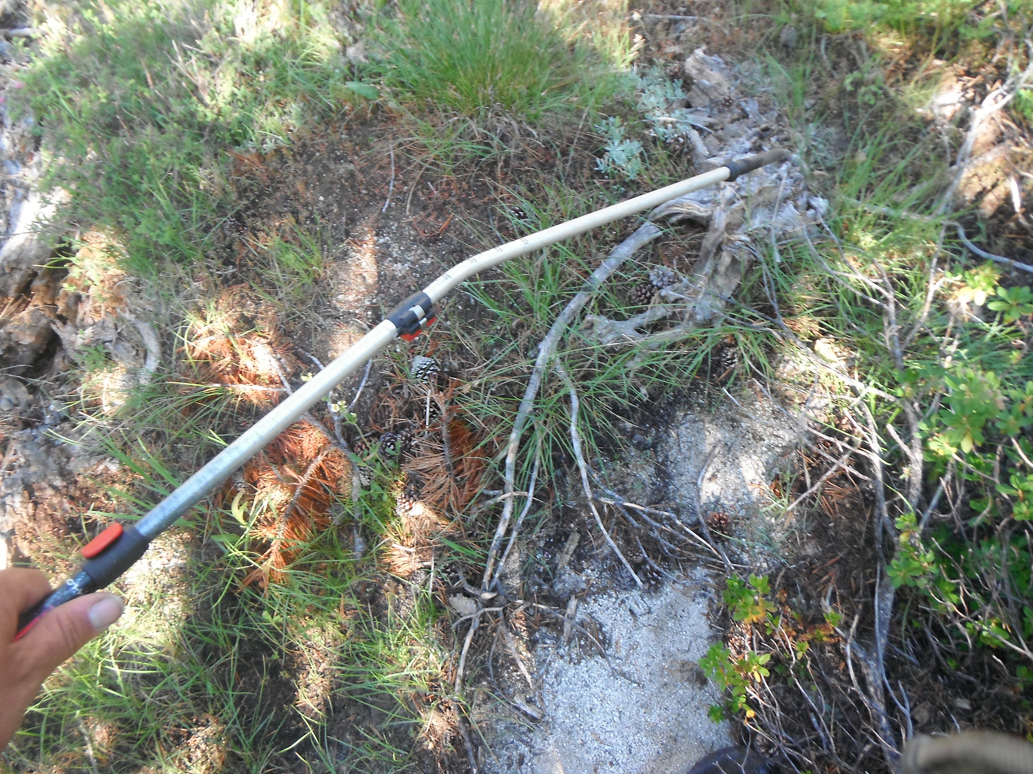
Bent my trekking pole by Zachary Just, on Flickr
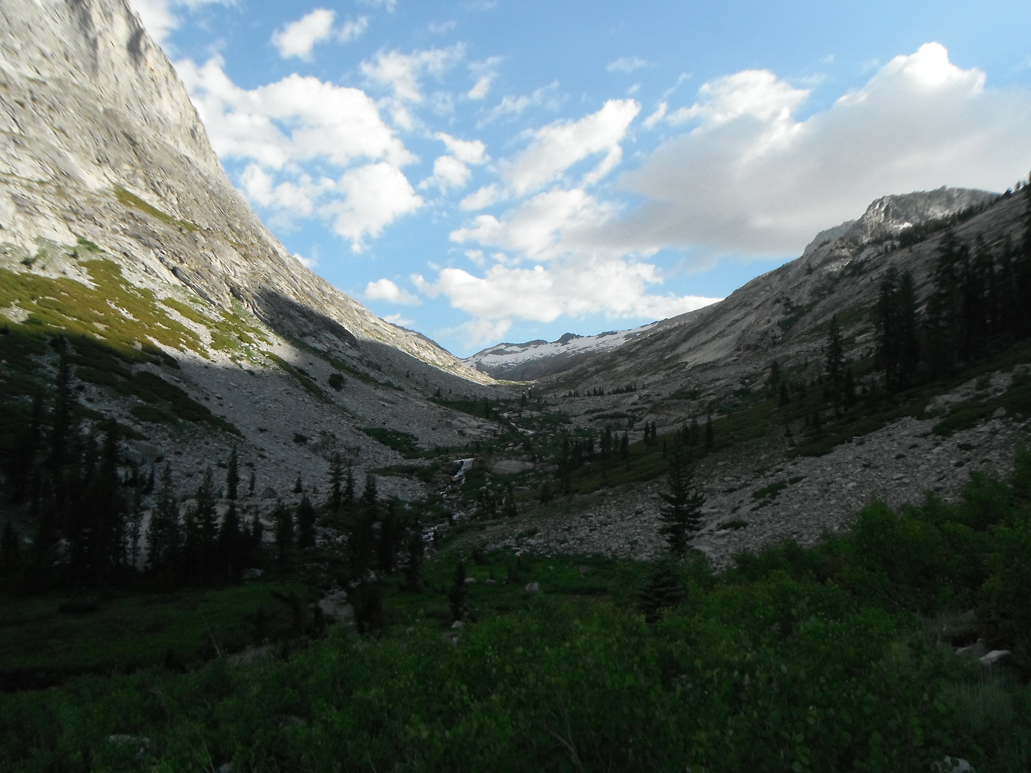
Up Deadman Canyon by Zachary Just, on Flickr
Up Deadman Canyon by Zachary Just, on Flickr
Deadman Canyon by Zachary Just, on Flickr
Ranger Meadow by Zachary Just, on Flickr
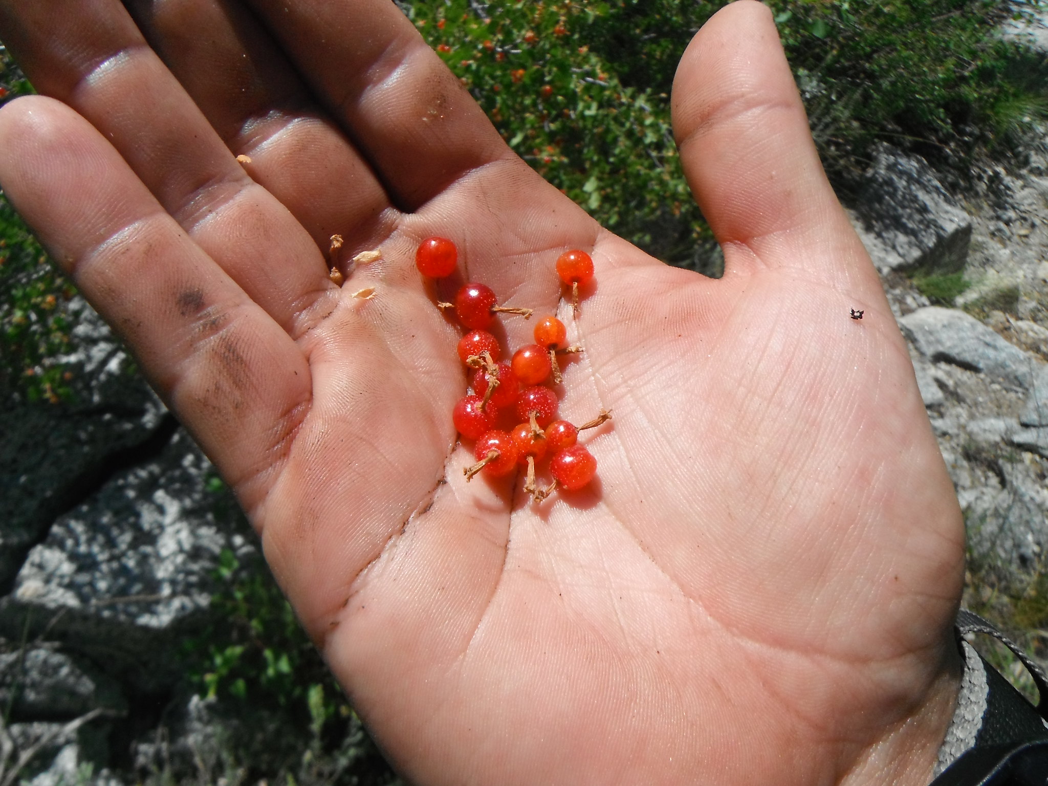
Wild Currants by Zachary Just, on Flickr
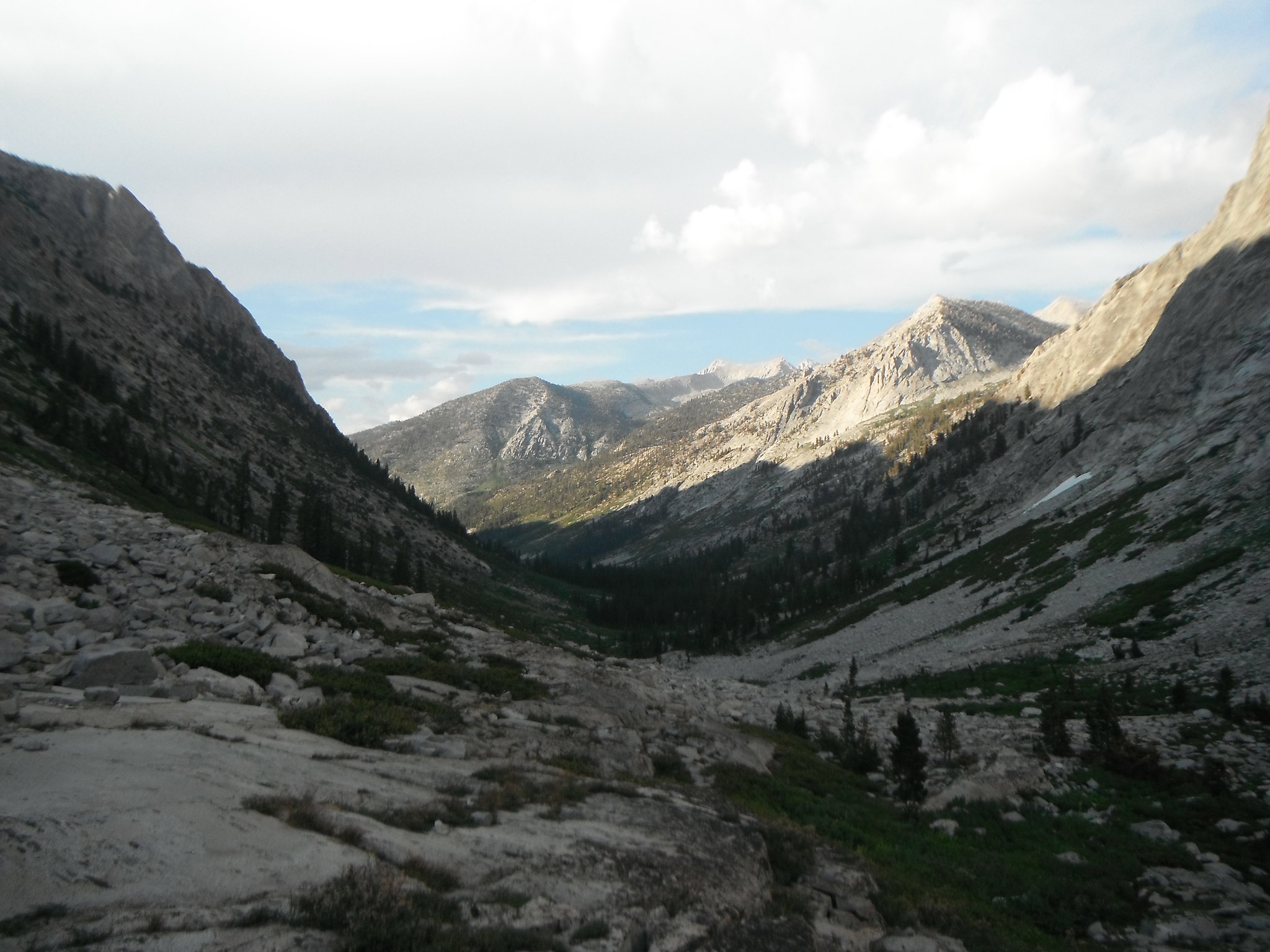
Deadman Canyon by Zachary Just, on Flickr
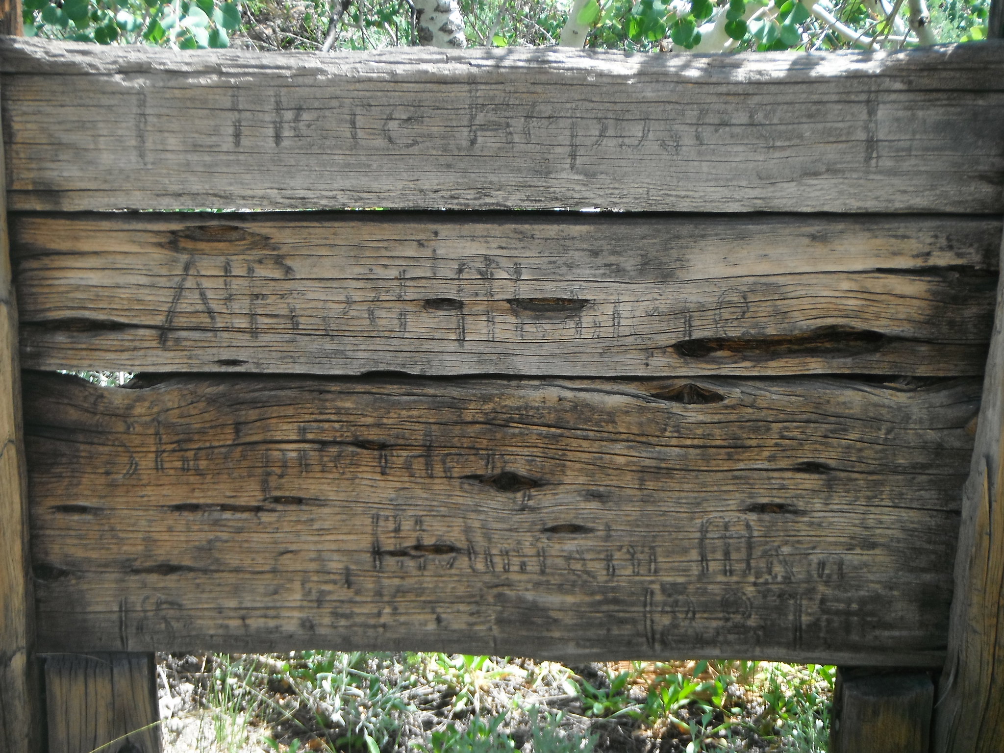
Grave marker by Zachary Just, on Flickr

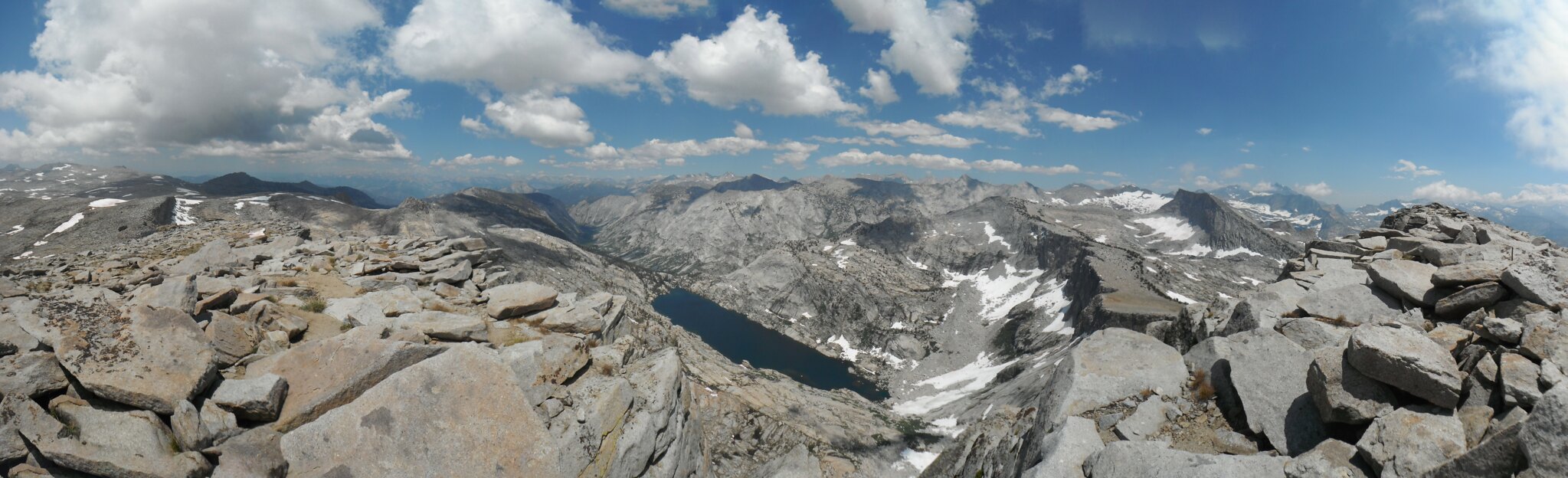
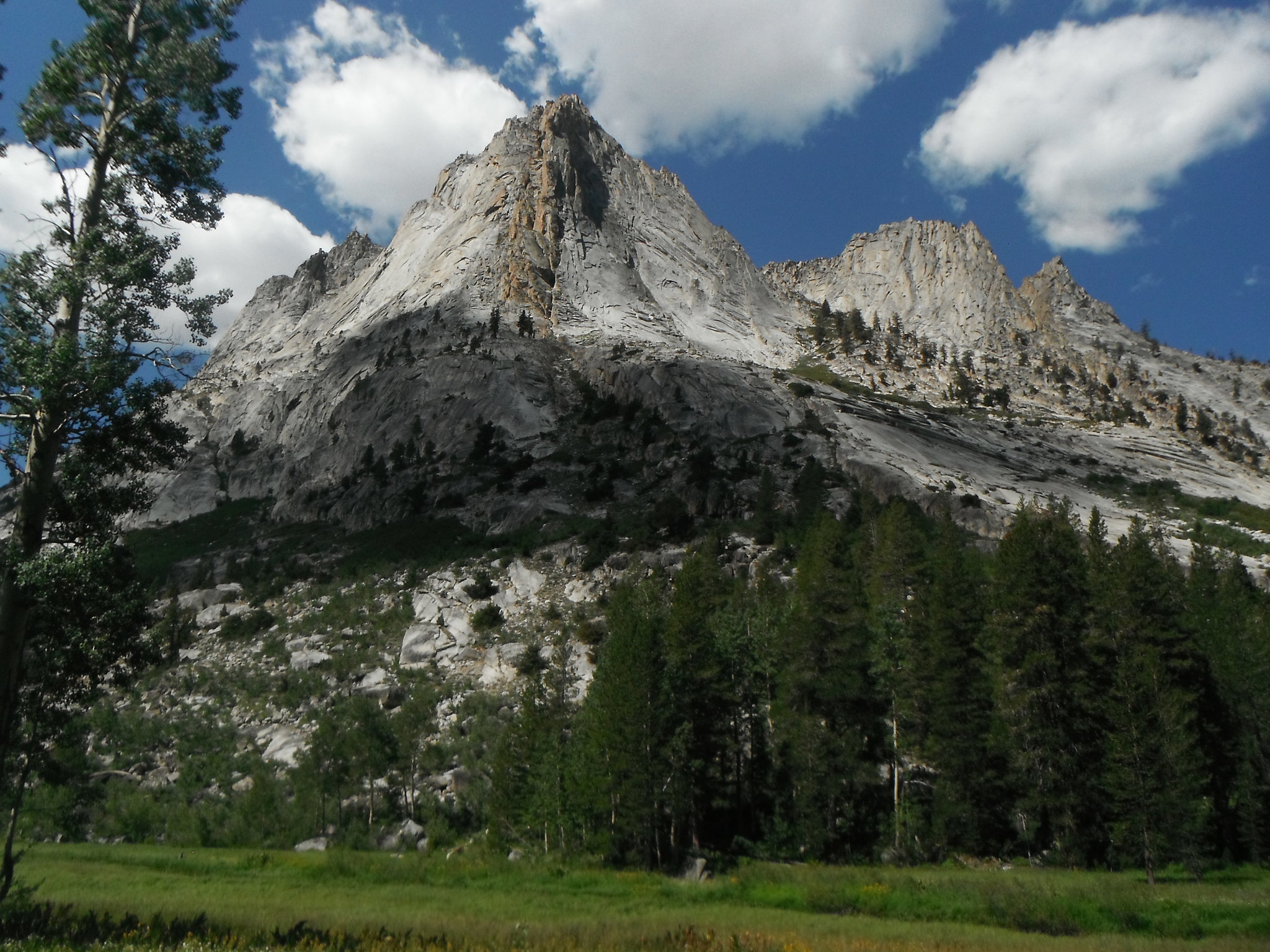
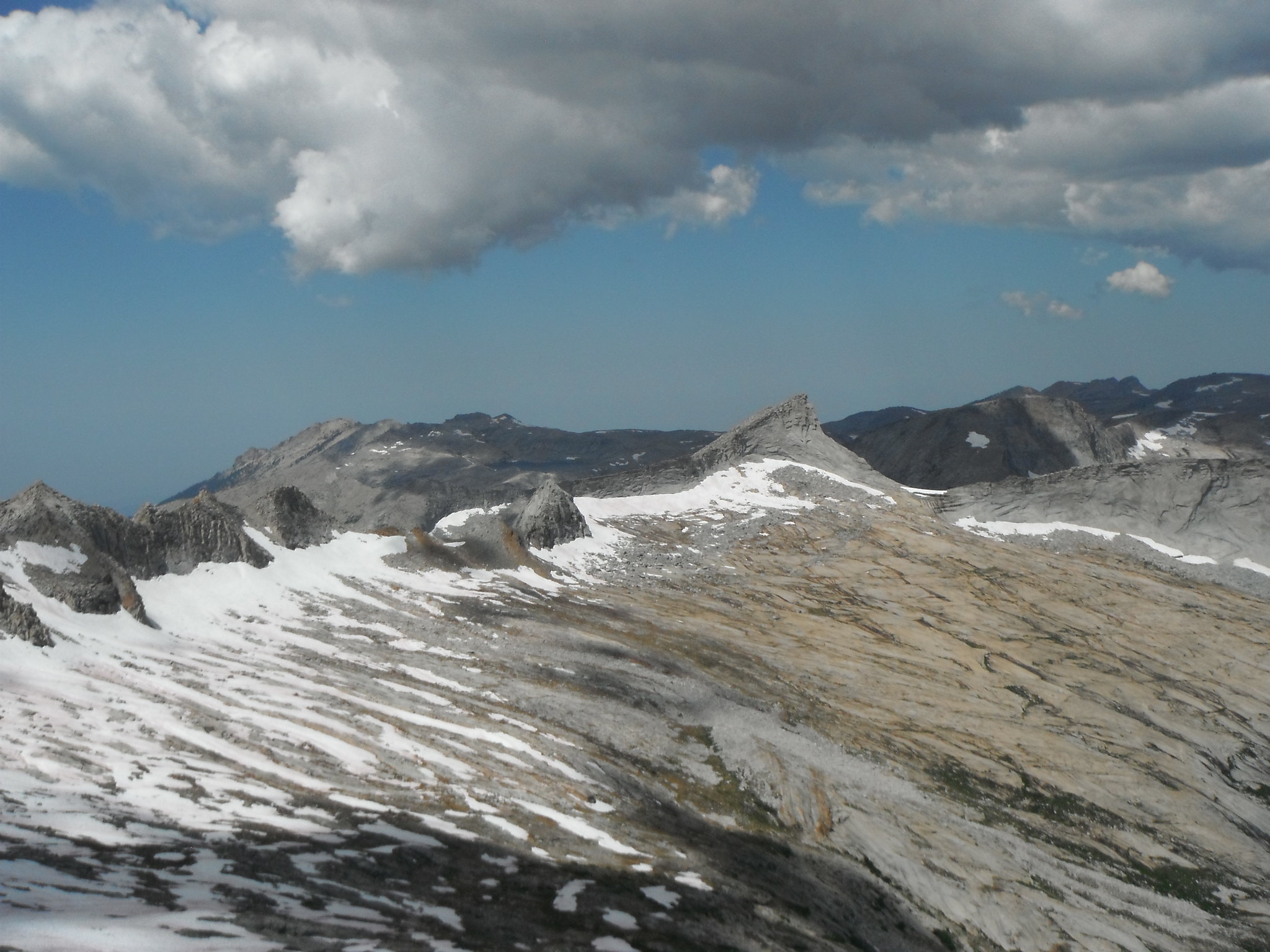
Cloud Canyon by Zachary Just, on Flickr
Cloud Canyon by Zachary Just, on Flickr
Upper Cloud Canyon by Zachary Just, on Flickr
Upper Cloud Canyon by Zachary Just, on Flickr
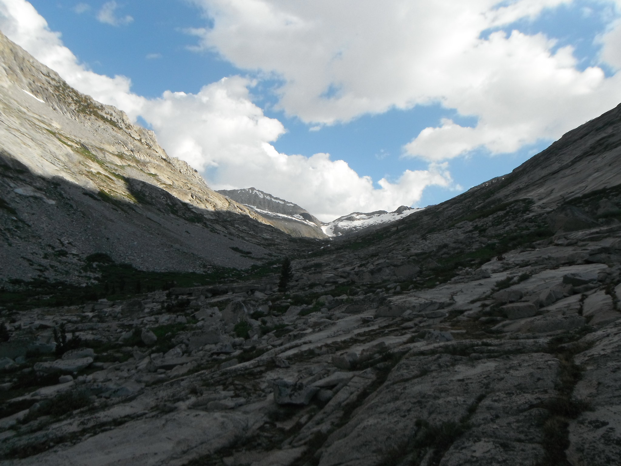
Upper Cloud Canyon by Zachary Just, on Flickr
Lion Pass by Zachary Just, on Flickr
Day 4: Cloud Canyon - Buck Creek
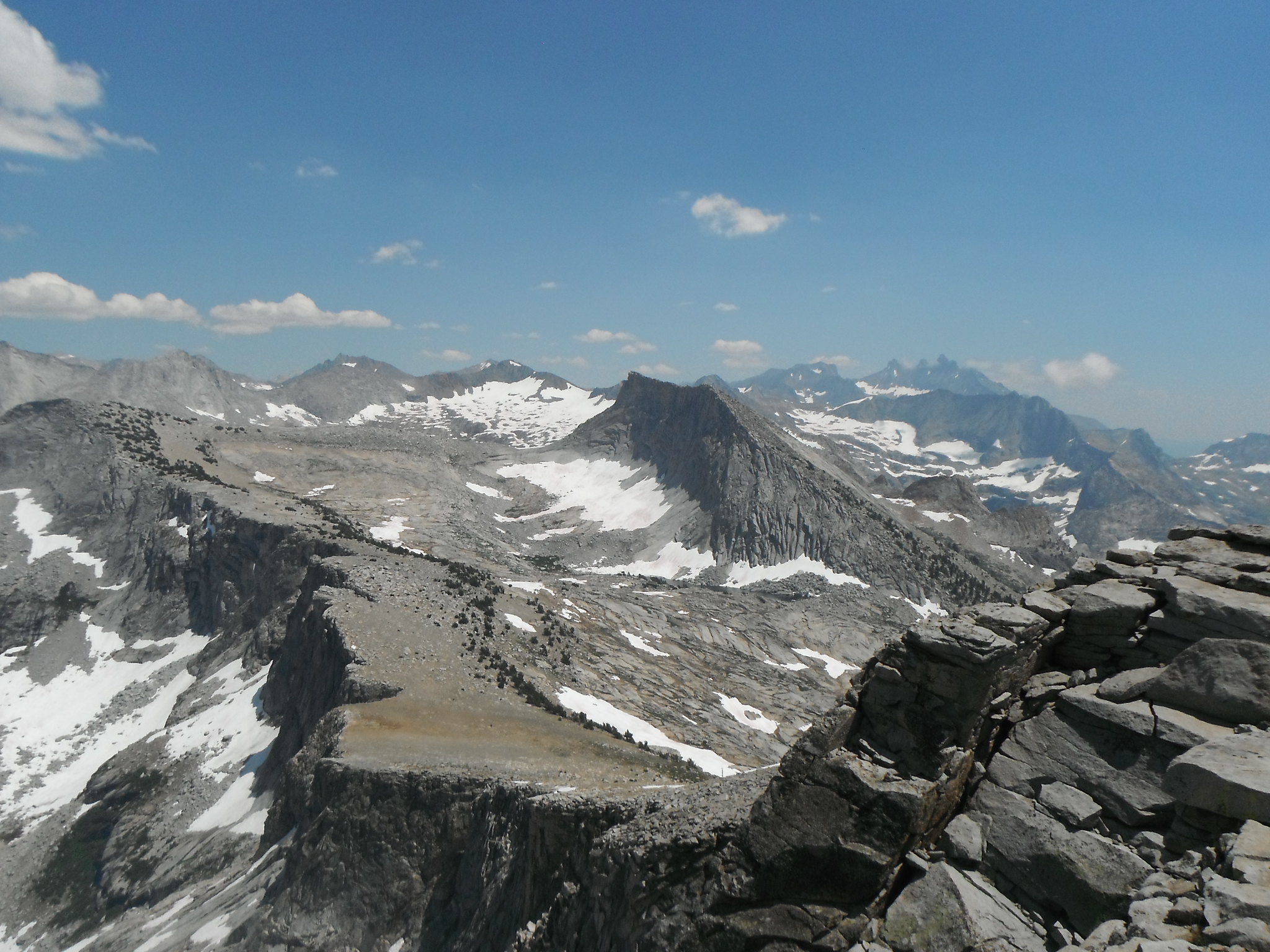
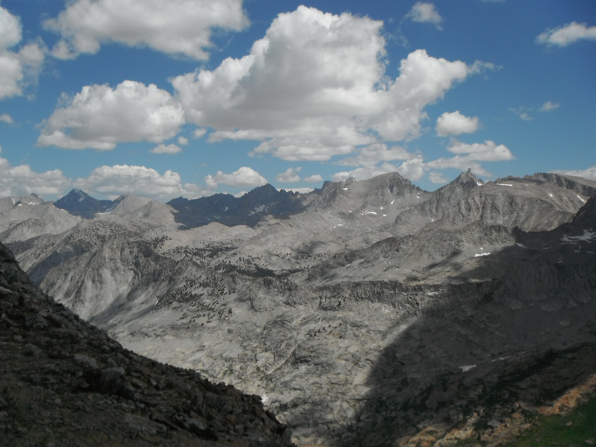
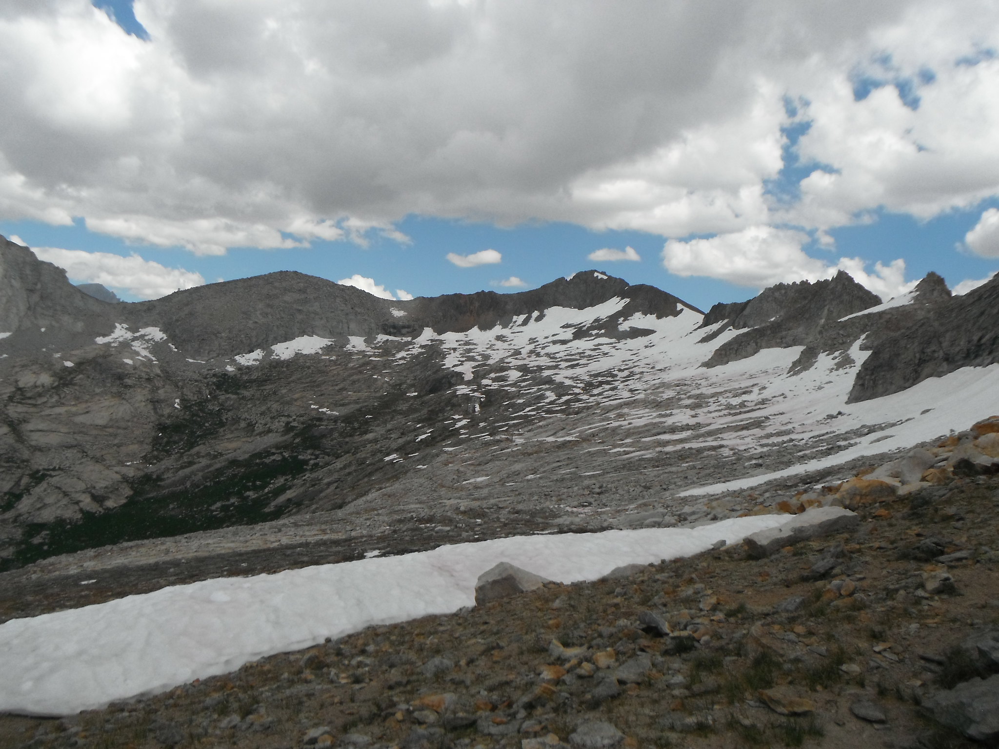
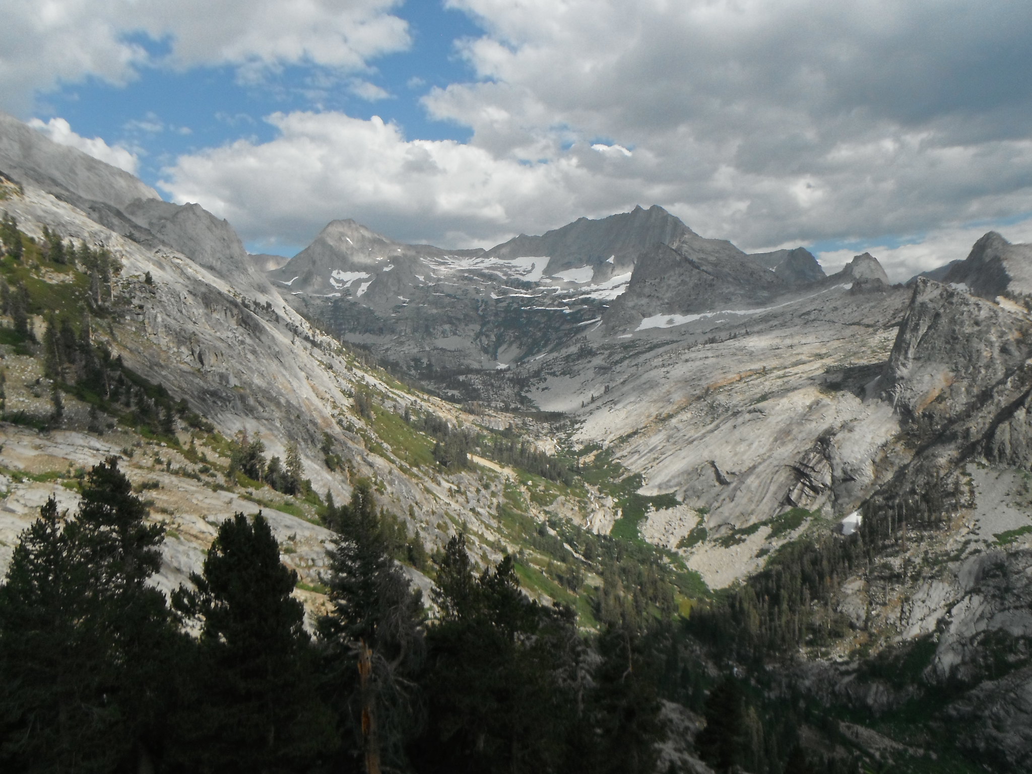
Thursday was another day of x-country: over Copper Mine and Horn Col to Lonely Lake. I briefly read OldRanger's description in an older post but neglected to confirm that the pass was on my Tom Harrison map, which it wasn't. I found some switchbacks in a Foxtail grove as expected, but they trickled out and I decided to head straight up. I was confused which notch was the true pass and ended up crossing North of peak 12345. The east side was class 2-3 up to the top. I'd say 3 just because it was so soft it required some handholds. The west side was solid 3-4 soft, unstable talus chute with the last 30 feet having some sketchy exposure. I had to lower my pack and position myself above a snowpatch just in case. Not recommended. The snow on the west side made traversing to Elizabeth slower than anticipated and slightly frustrating. I ended up looking at the trail sign for 1 1/2 hours as it beckoned me closer. But I finally made it to the pass and enjoyed lunch there. It was here that I decided to deviate from my planned course. I could see it raining over Moose Lake and the clouds did not look good. The weather reports a hiker I met got on his InReach said that storms were likely at higher elevations. I decided to head down Elizabeth and go out the HST. Although I tried to avoid the rain it did end up raining on me between the Tamarack junction and Bearpaw. Met the ranger at Bearpaw and talked for a bit. I mentioned that I was planning on camping at Buck Creek and he gave me a tip on an old trail workers' camp. It was pretty nice to have some logs to sit on.
Upper Cloud Canyon by Zachary Just, on Flickr

GWD by Zachary Just, on Flickr
GWD by Zachary Just, on Flickr

Cloud-Deadman Divide by Zachary Just, on Flickr
Deadman Canyon by Zachary Just, on Flickr
Moose Lake/Horn Col by Zachary Just, on Flickr
GWD by Zachary Just, on Flickr
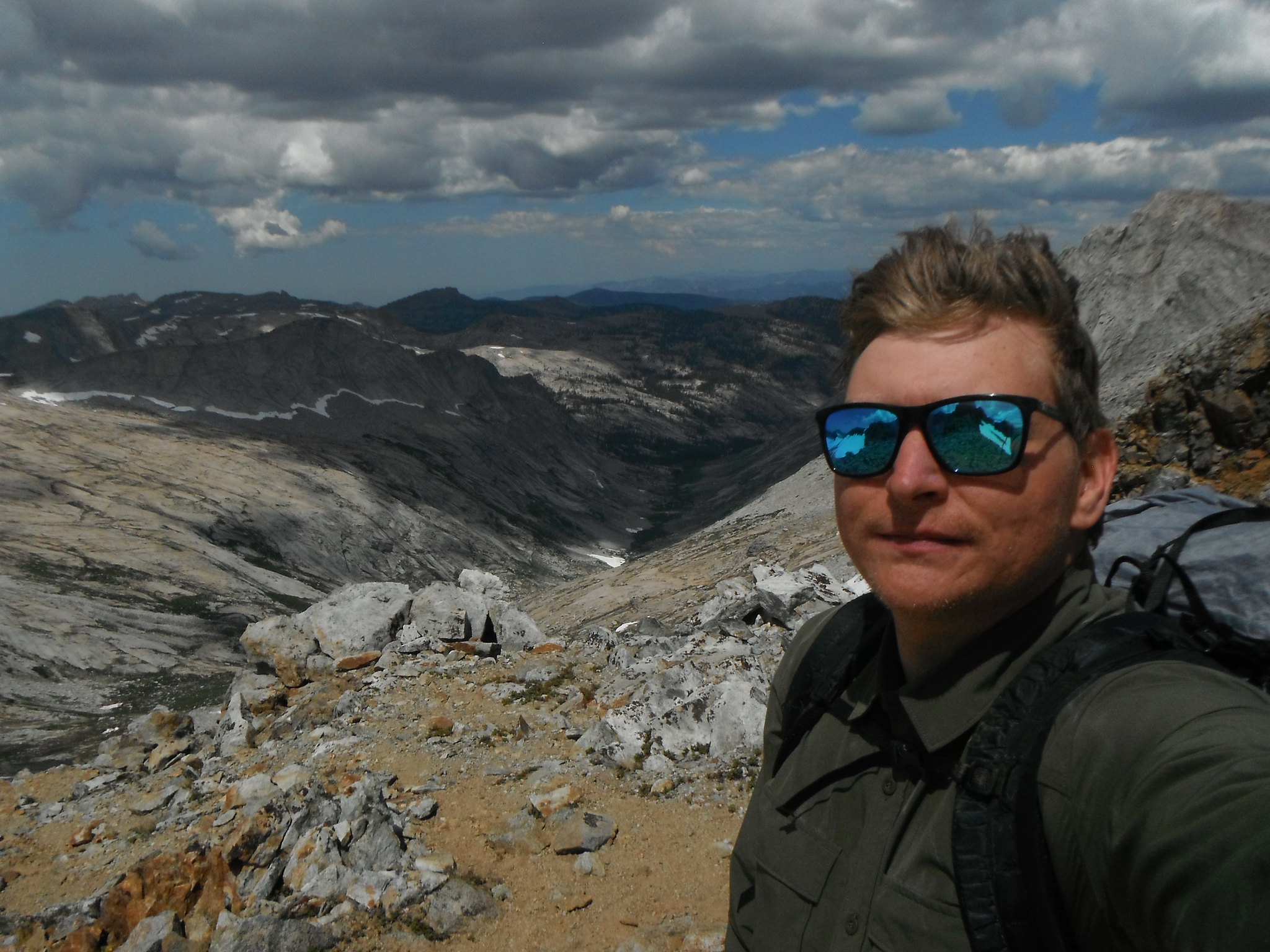
Me on Deadman/Cloud Divide by Zachary Just, on Flickr
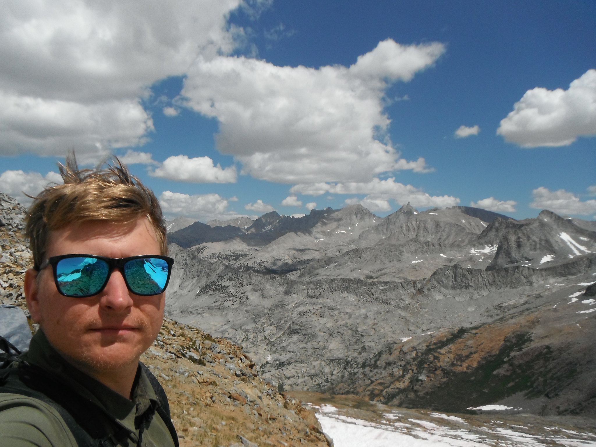
Me on Deadman/Cloud Divide by Zachary Just, on Flickr
Deadman Canyon Headwall by Zachary Just, on Flickr
Down Deadman Canyon by Zachary Just, on Flickr
View from Elizabeth by Zachary Just, on Flickr

Elizabeth Pass by Zachary Just, on Flickr
Tamarack Lake Drainage by Zachary Just, on Flickr
Day 5: Buck Creek - Crescent Meadow
My last day was an easy walk back to Crescent Meadow, boring and dull. I made it back by 1 and took the shuttle back to my truck at Wolverton. A slice of pizza and a burger were welcome sights at the Lodgepole market before taking a shower and a nap. A great trip through some awesome terrain.
No comments:
Post a Comment