
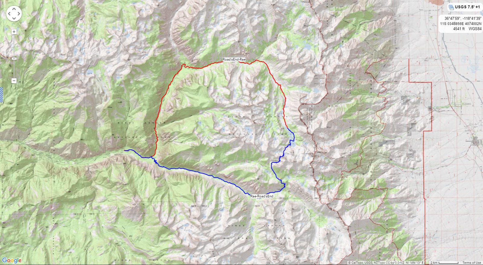
Day 1: Wednesday-Road's End to Rae Lakes
I got up at 4am and out the door by 5 so as to make it to the Road's End permit station by 7am. After getting my permit for Woods Creek I started today's 20+ miles. A light pack made the hiking fast as I passed Mist Falls and climbed through Paradise Valley.
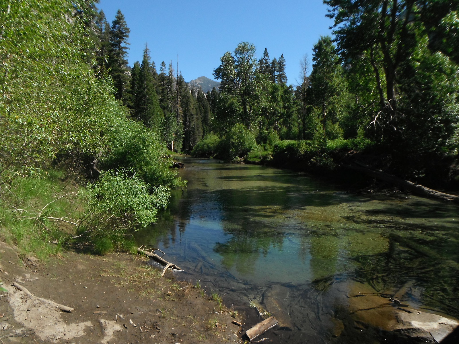
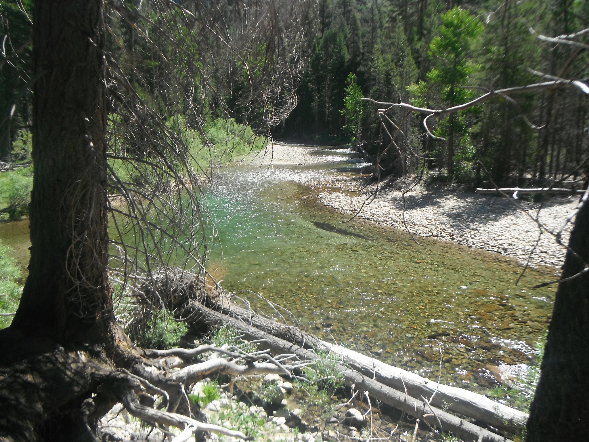
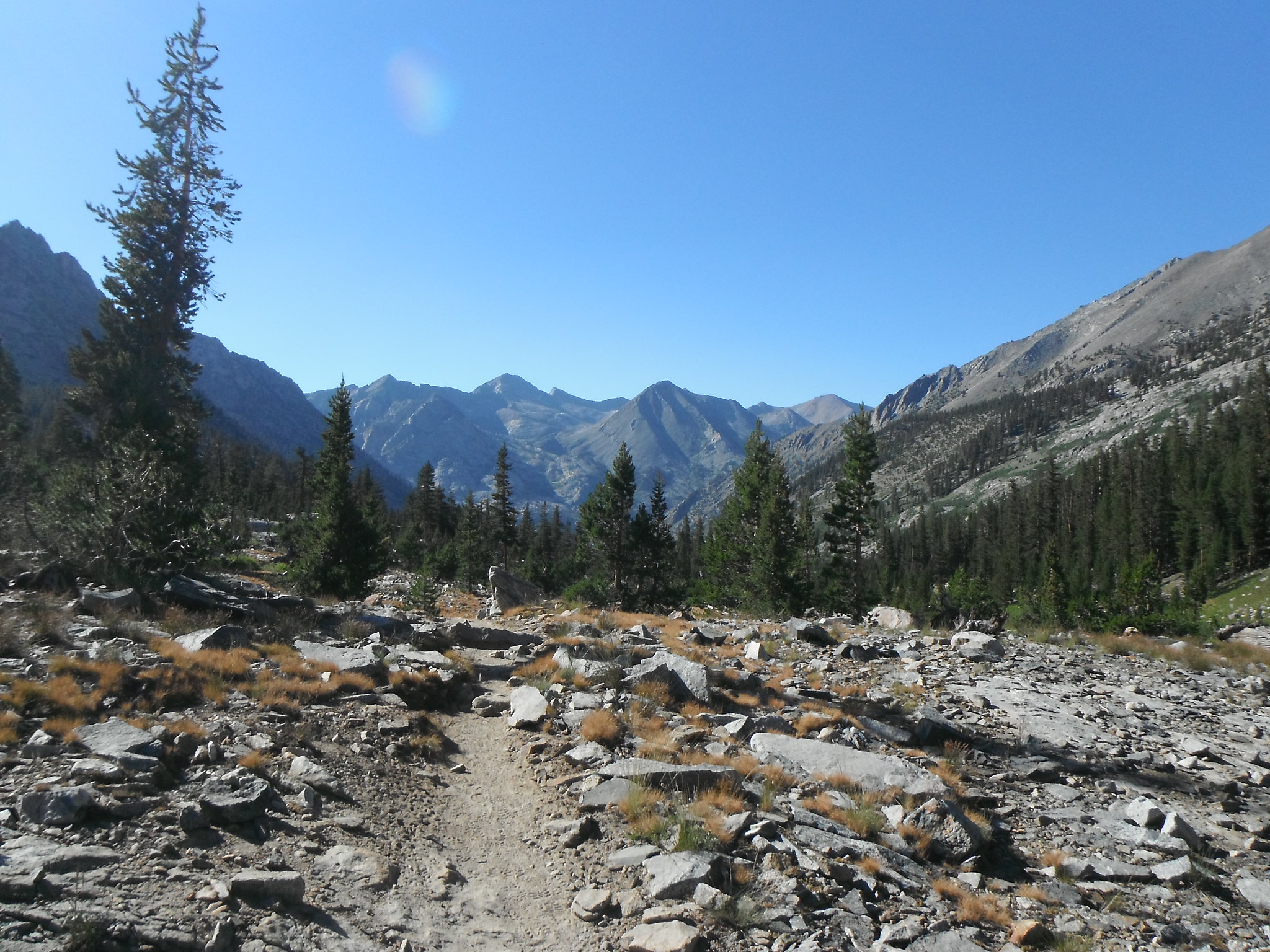
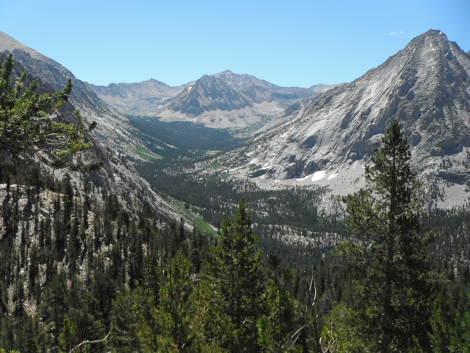
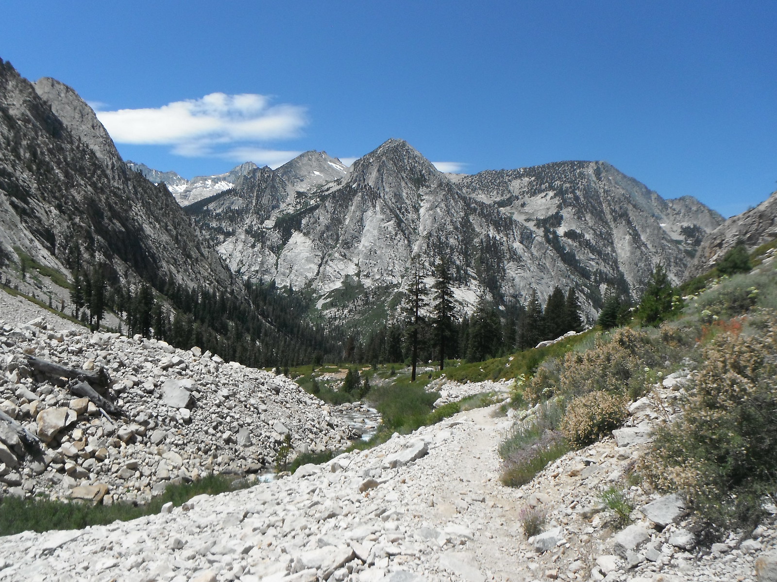
I ate lunch at Upper Paradise and continued up the Woods Creek drainage with views of Castle Domes and the upper canyon.This part of the trail was hot and long and I was glad when I made it to Woods Crossing. I took a long nap here and waited for it to cool down some before making the climb up to Rae.
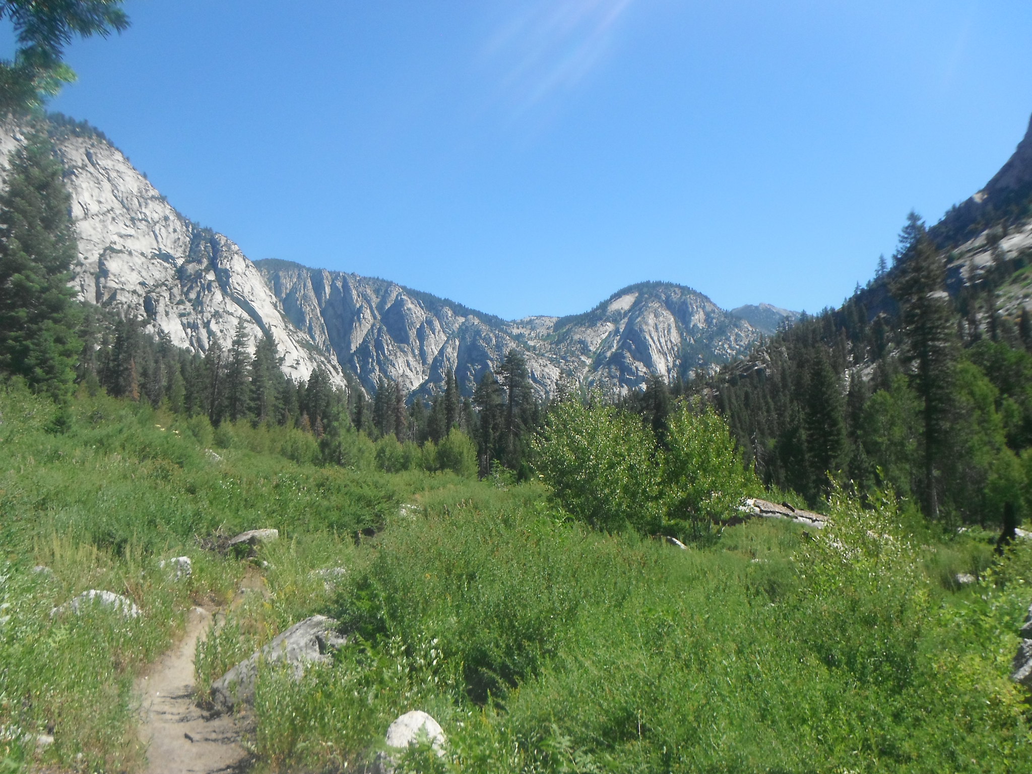
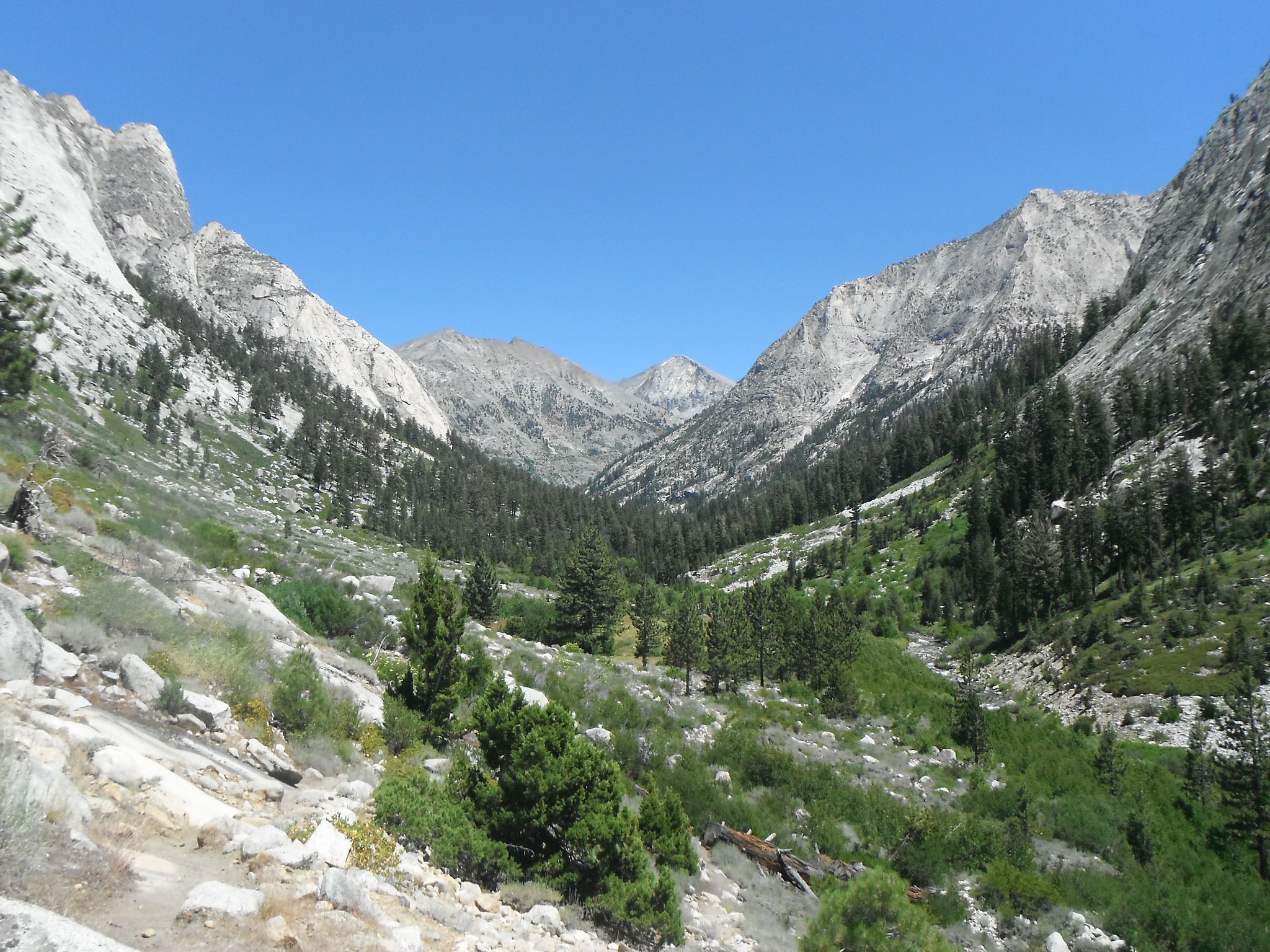
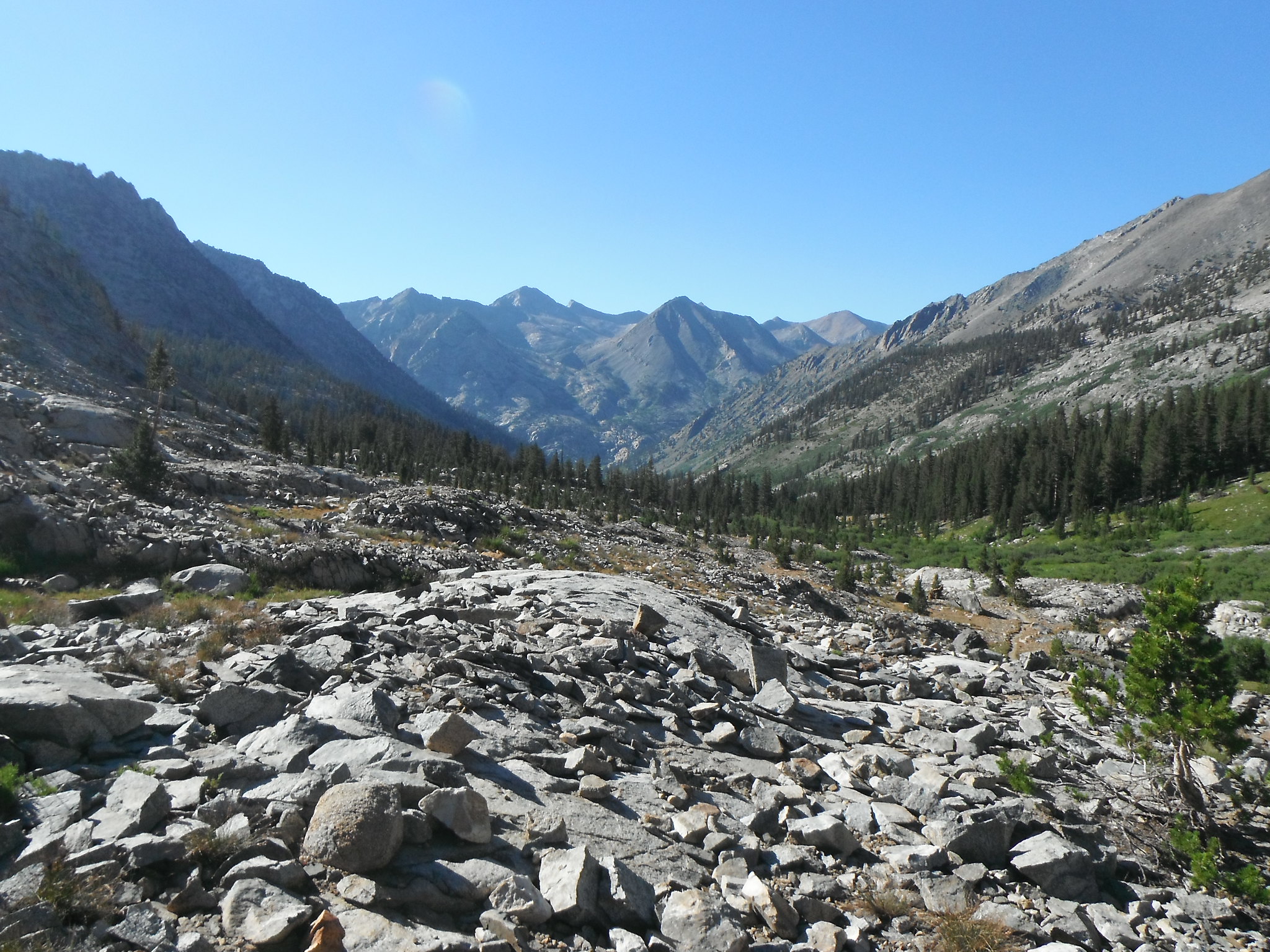
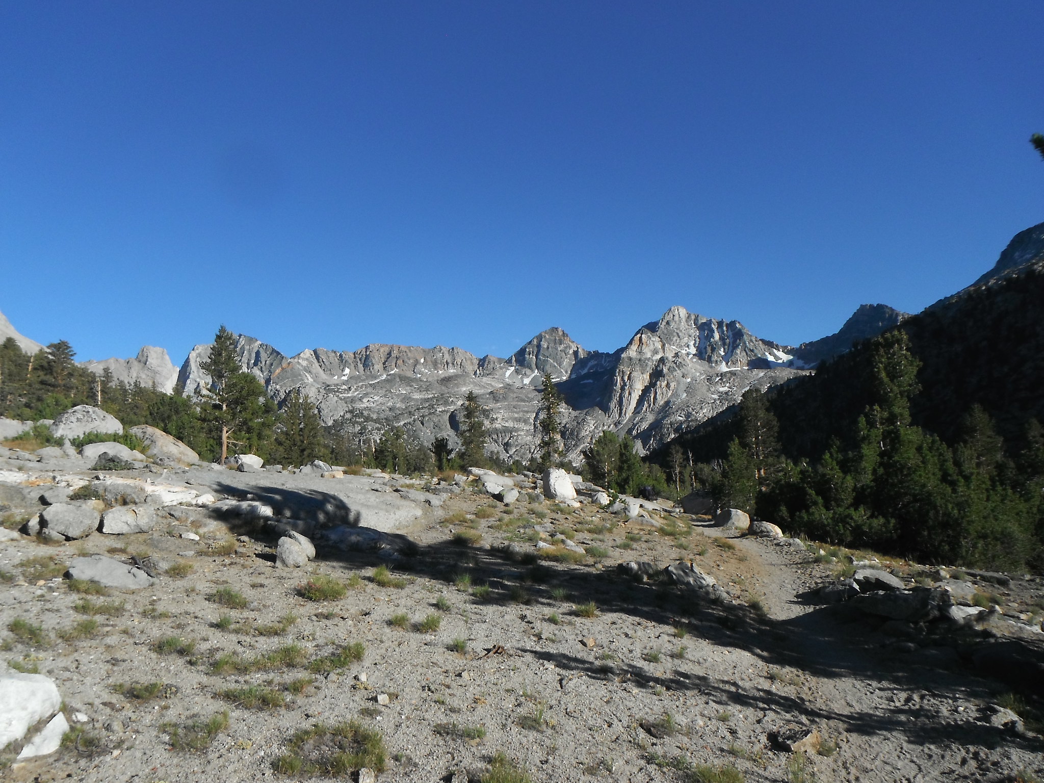
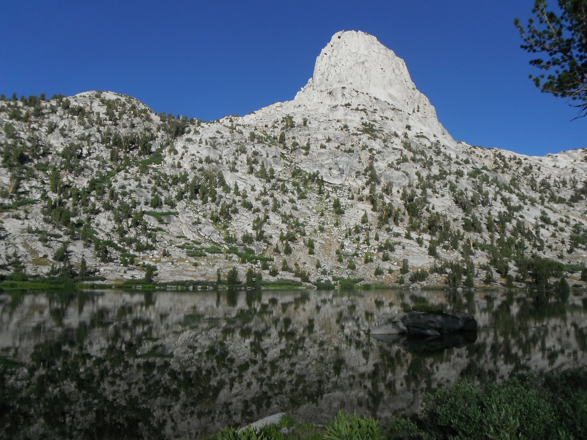
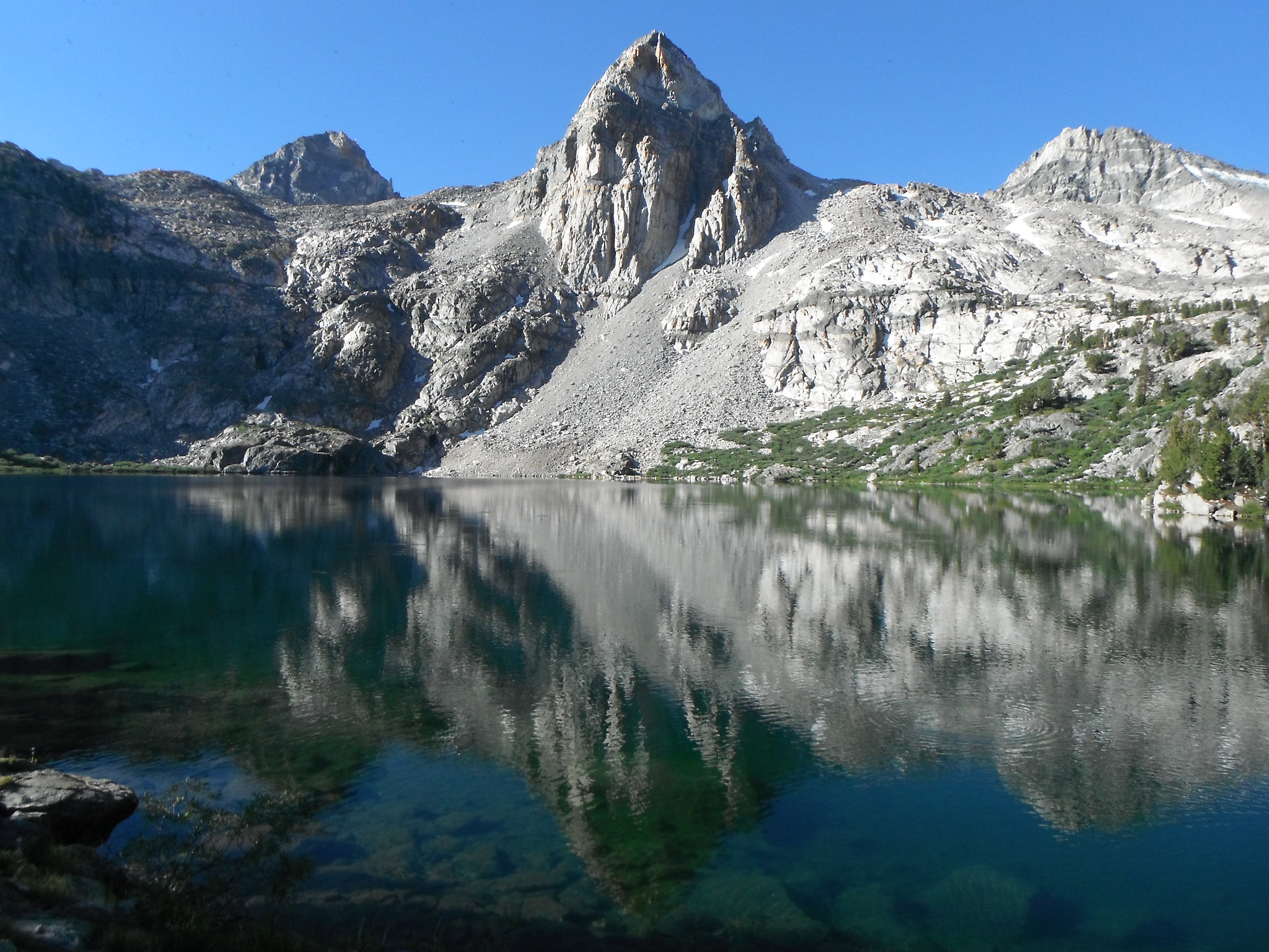
I was greeted by Fin Dome as I neared the Lakes. After 20 miles of hiking I was ready for camp.
Day 2: Thursday-Rae Lakes-Road's End
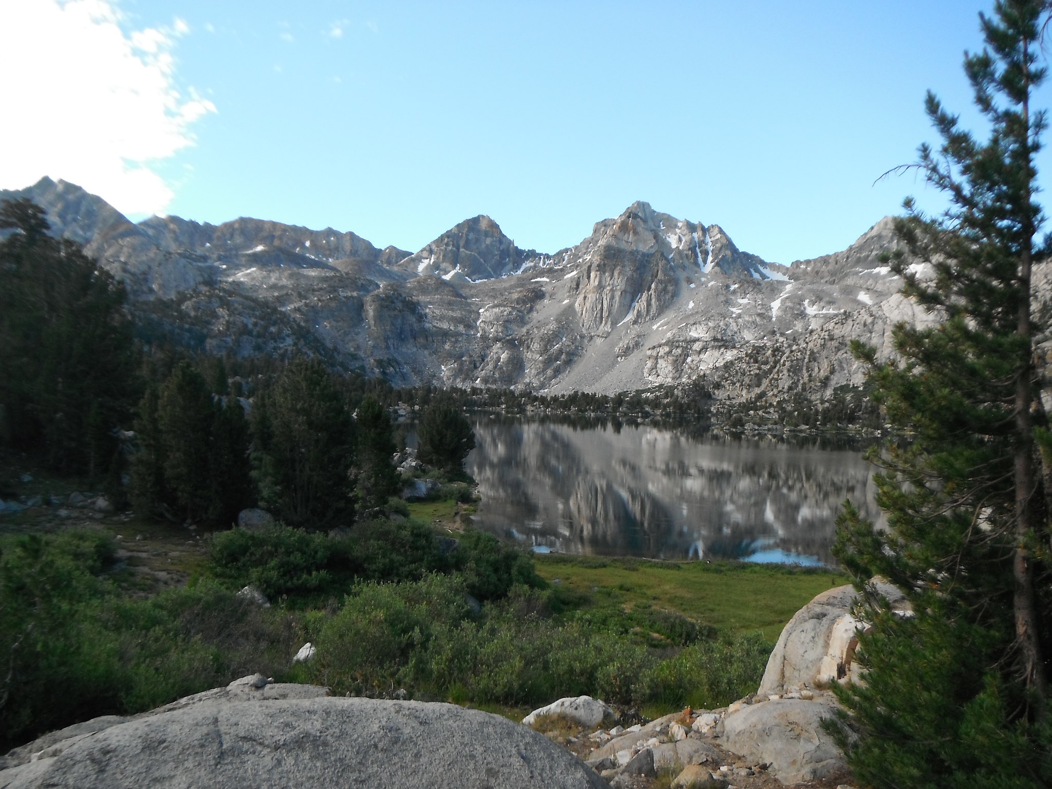
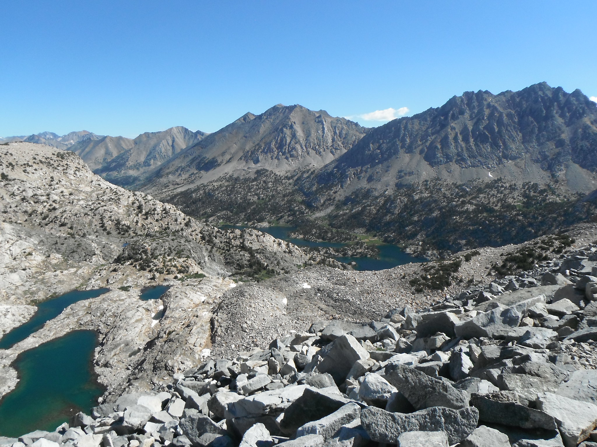
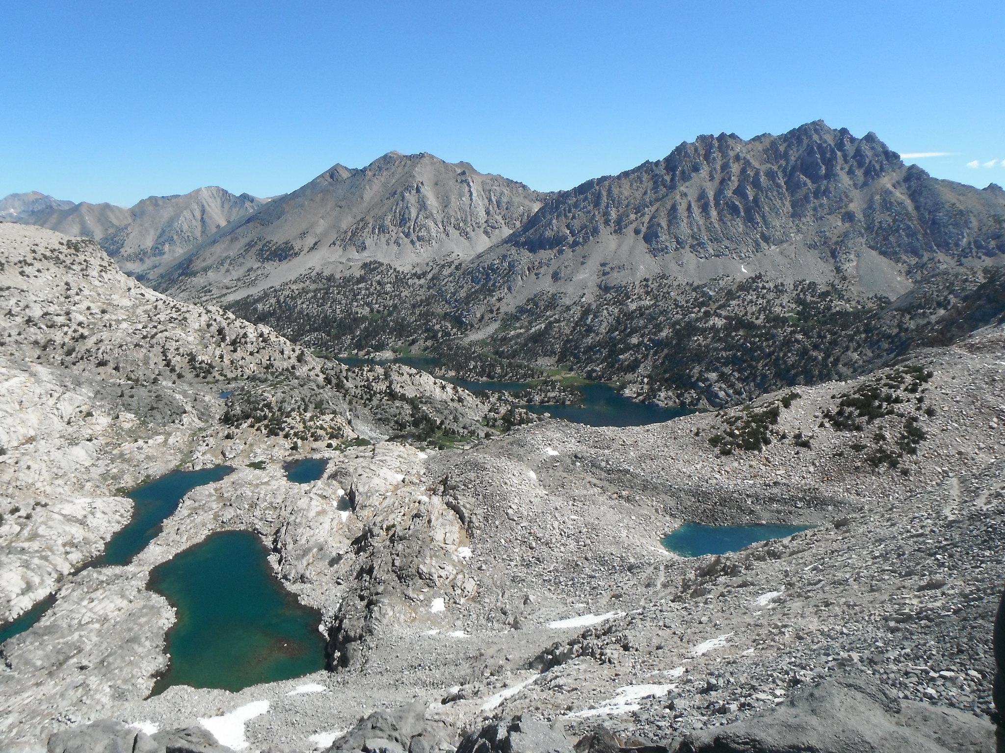
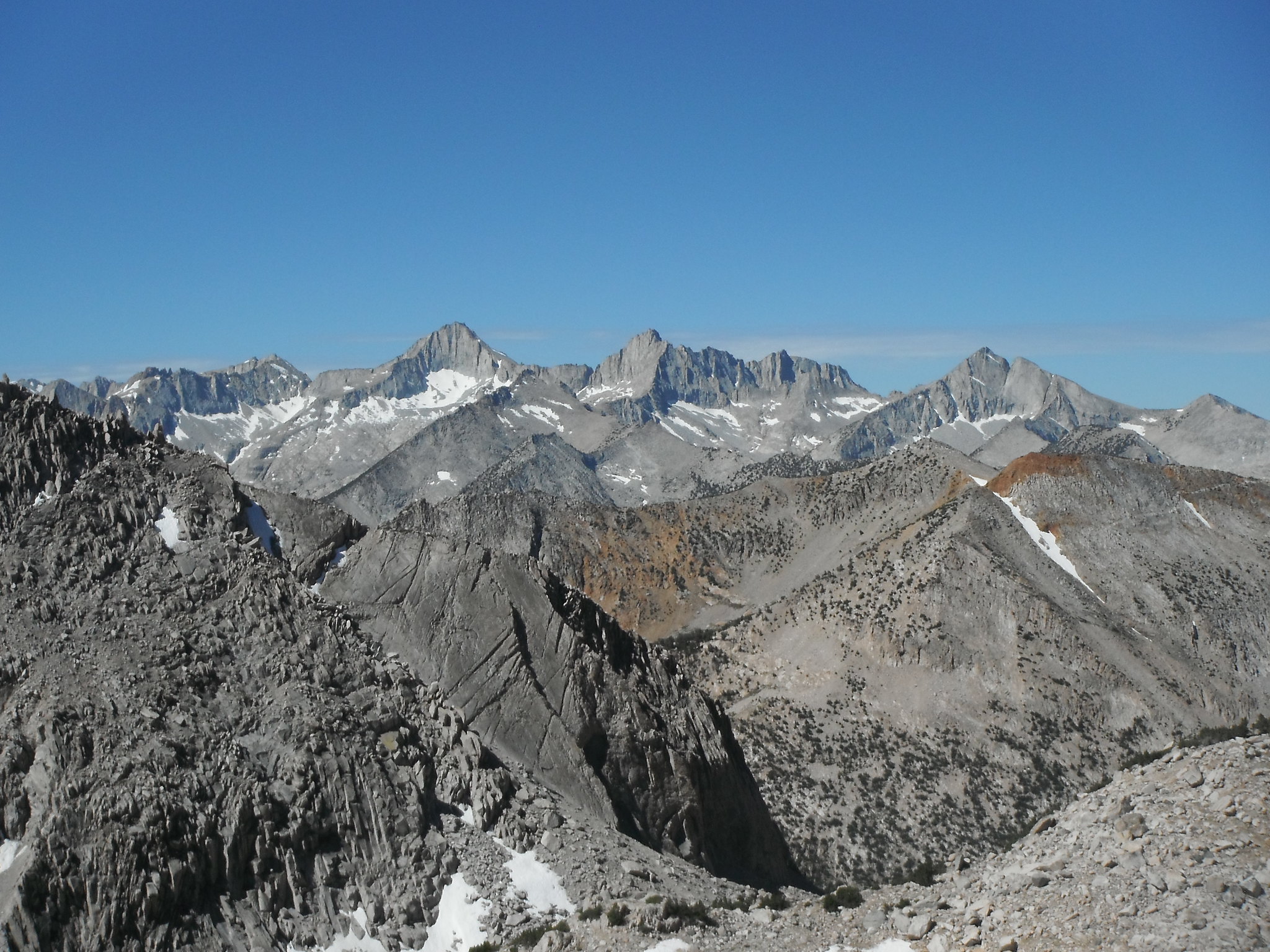
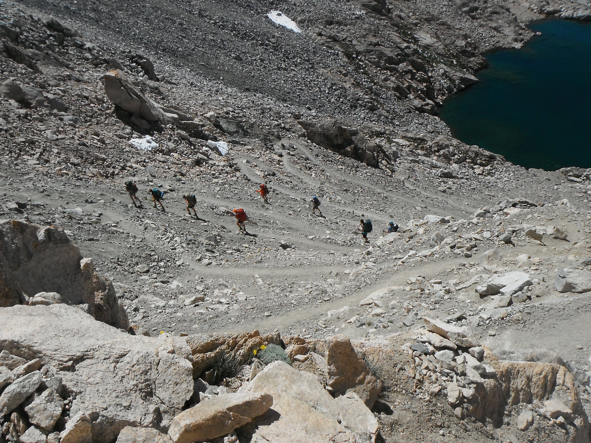
I knew this day was going to be tough; I had to tackle Glen Pass then descend 7k feet back to Road's End. I was on the trail by 8 and made it to the top of Glen a little after 10. I got stuck talking to a couple who agreed to take my picture and didn't leave the pass for another hour.
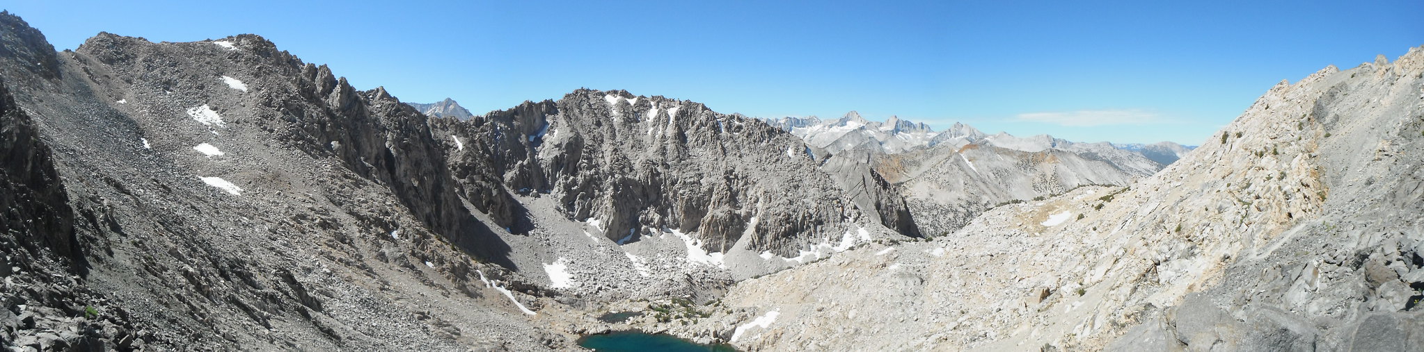
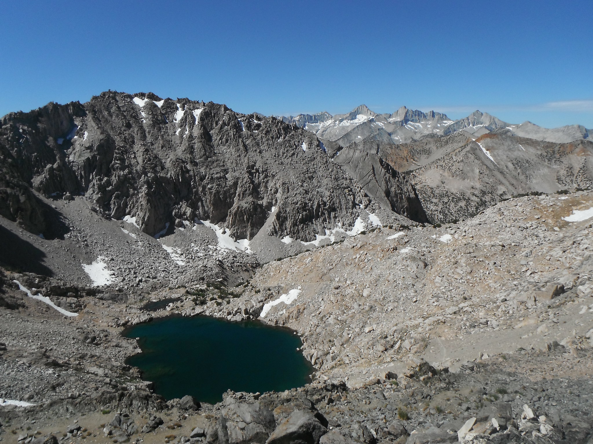
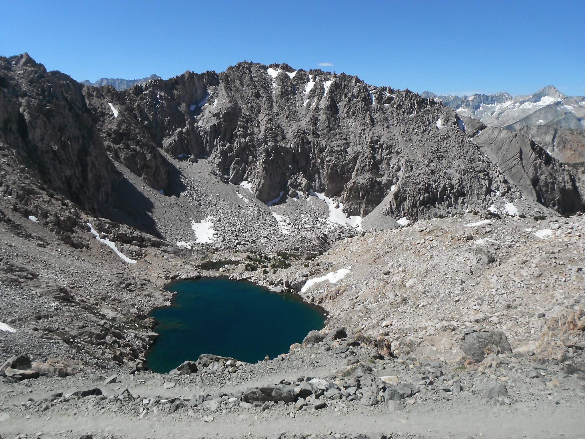
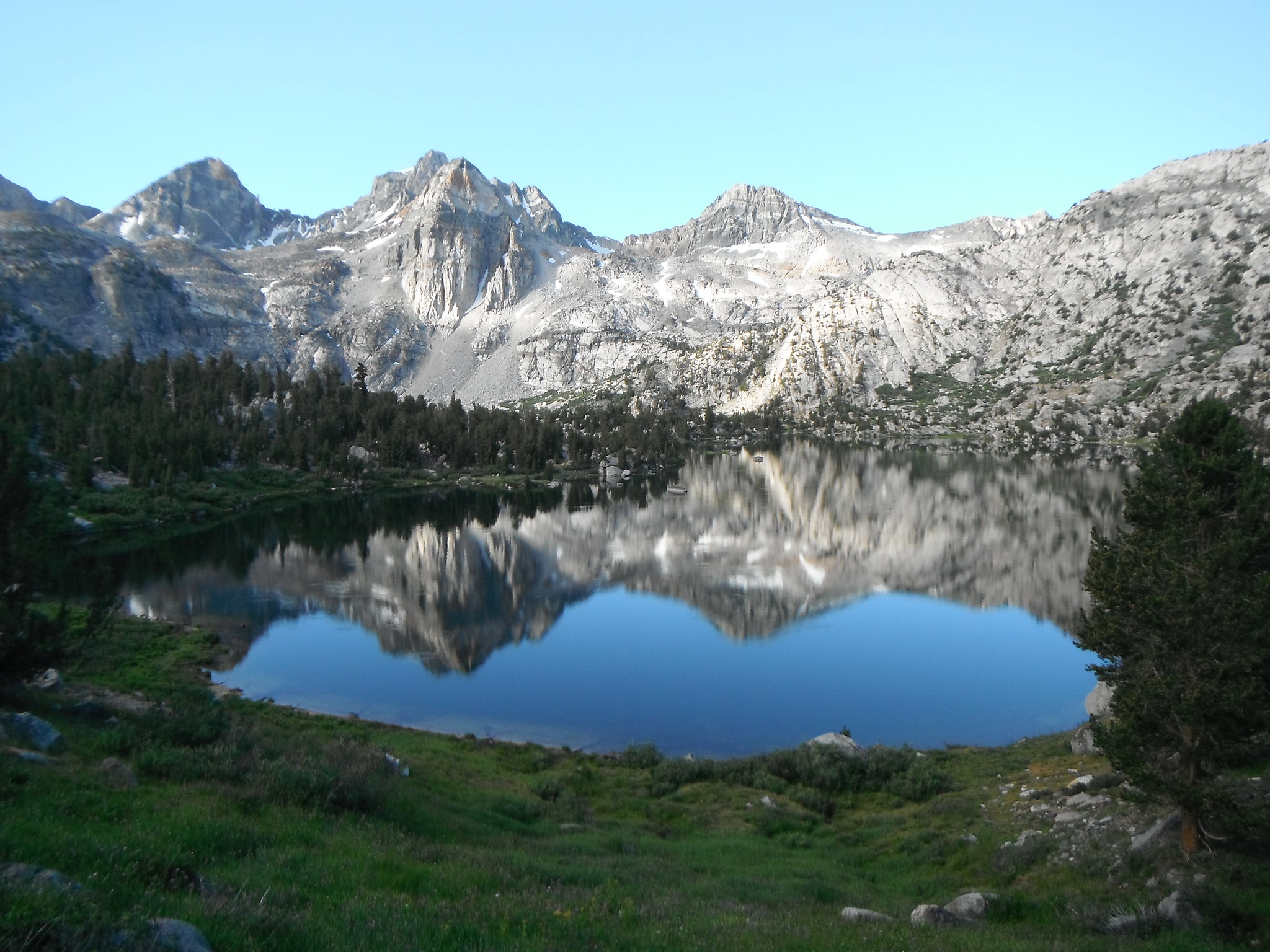
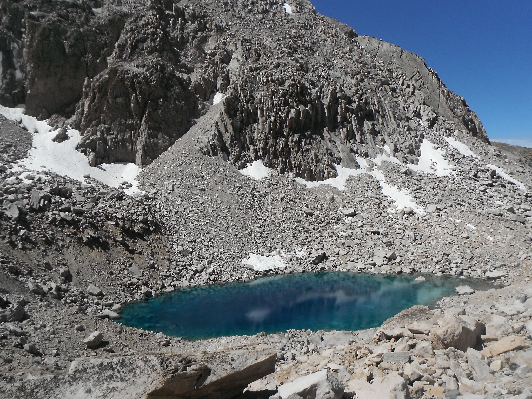
Coming down I saw one of the bluest lakes I've ever seen.
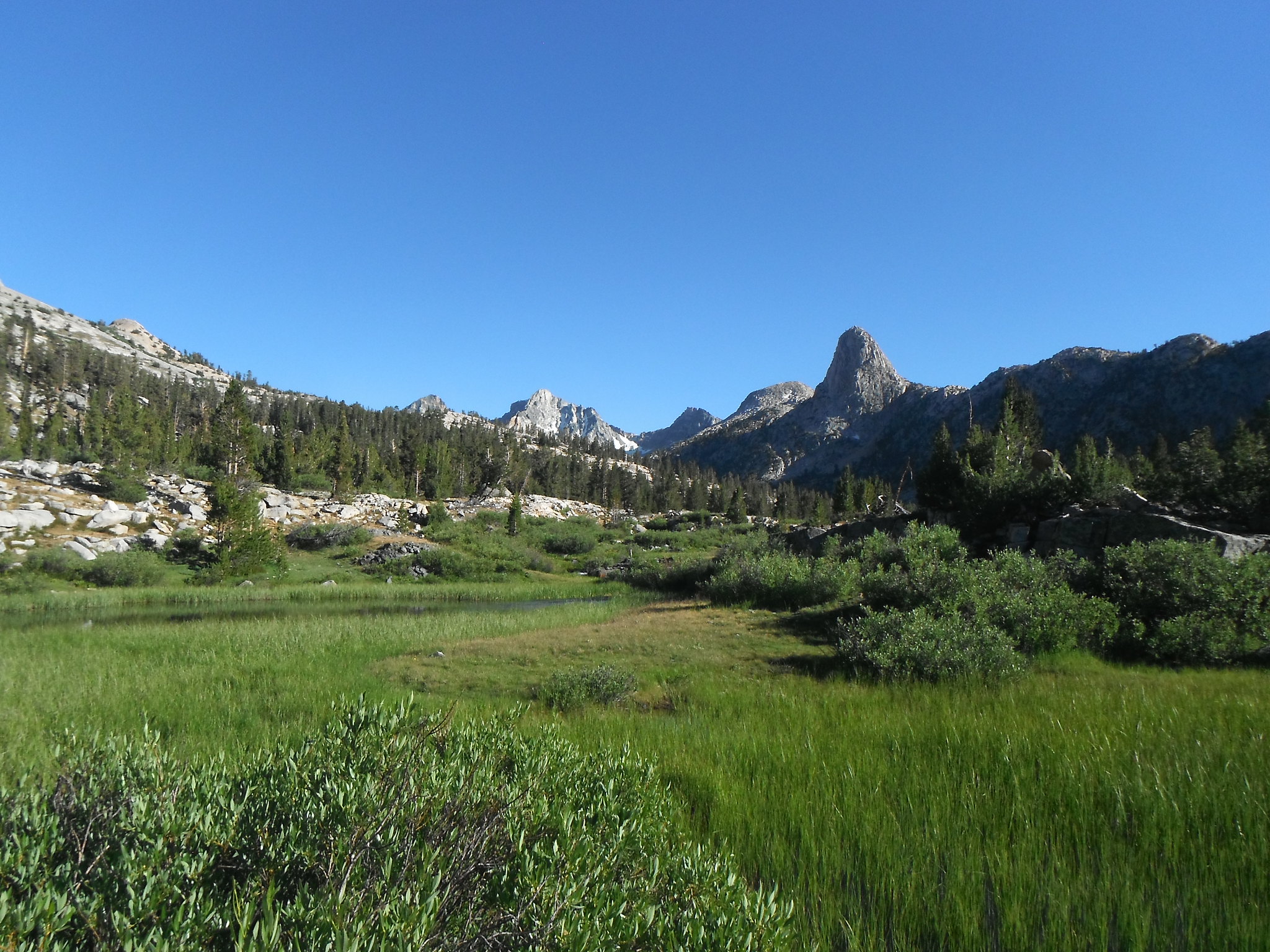
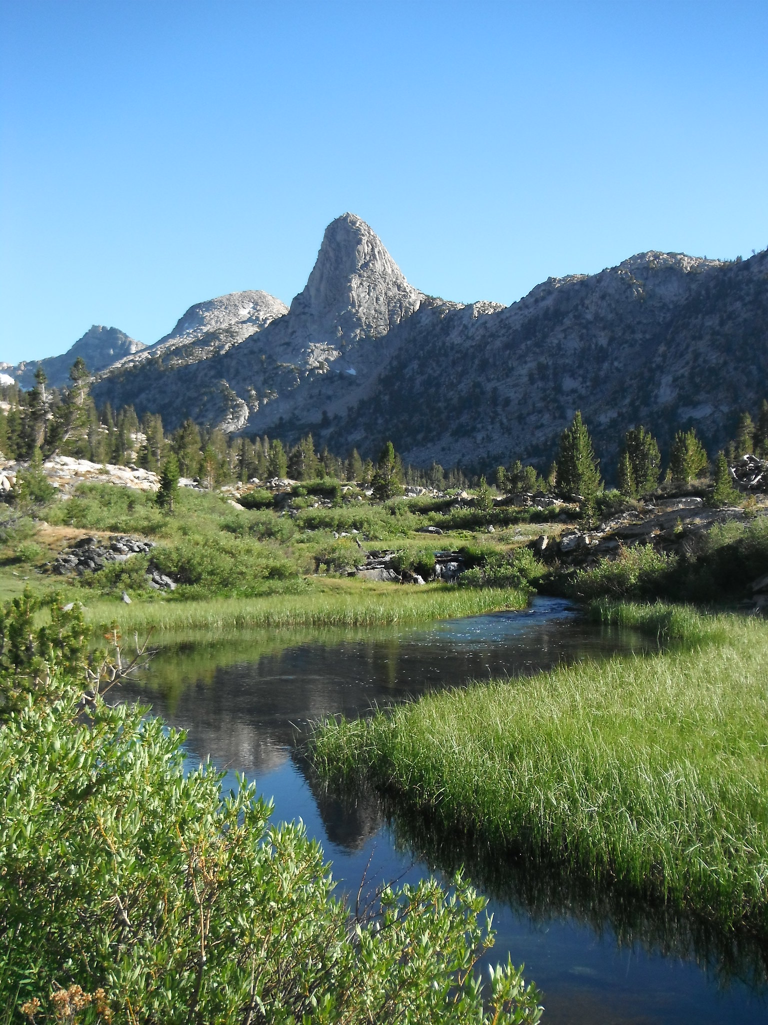
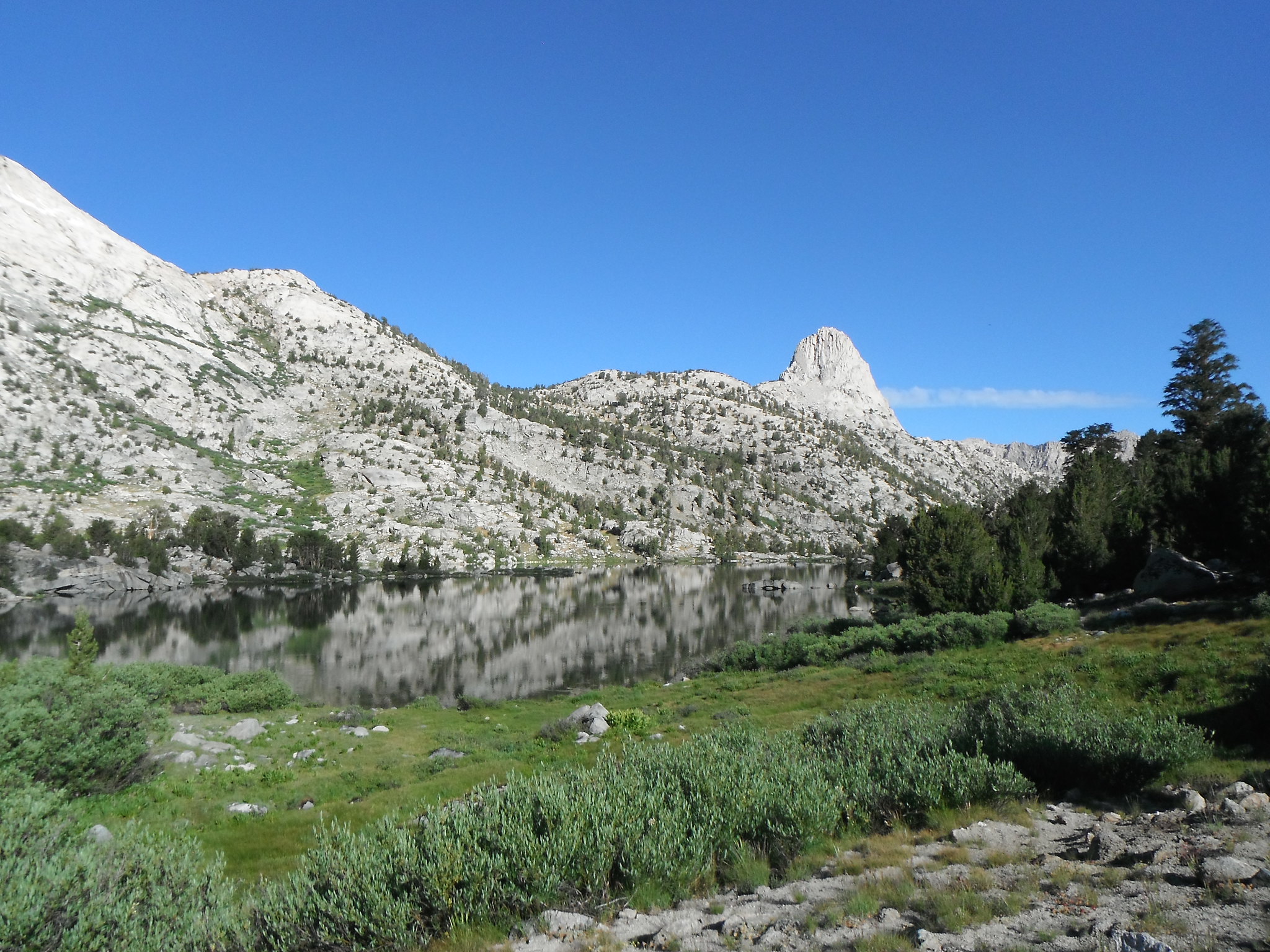
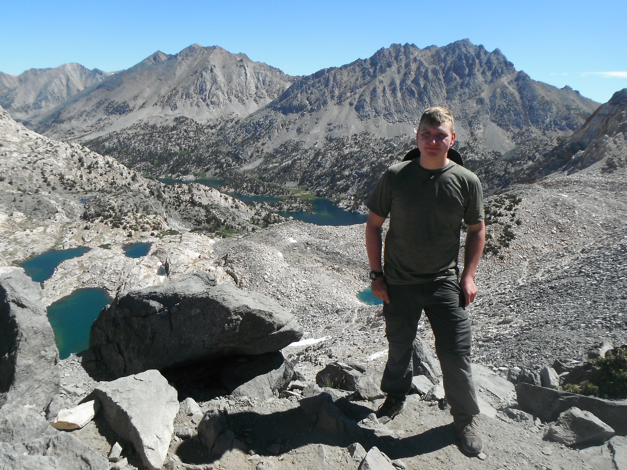
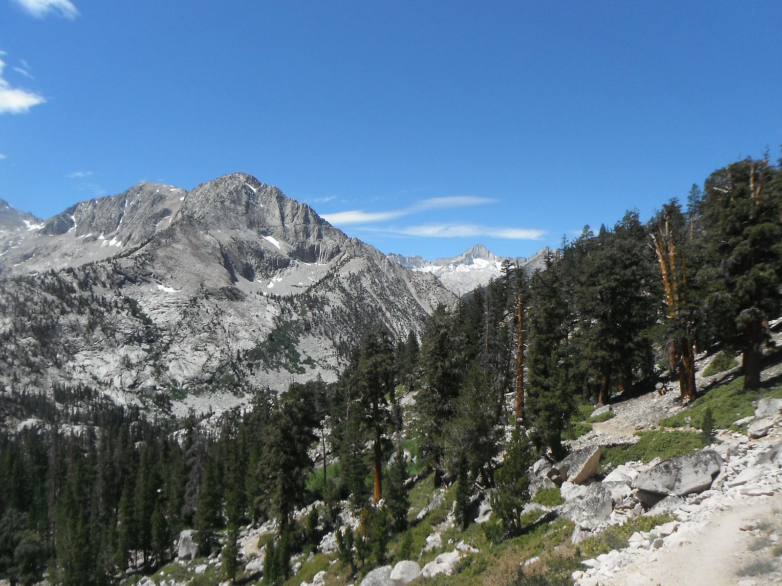
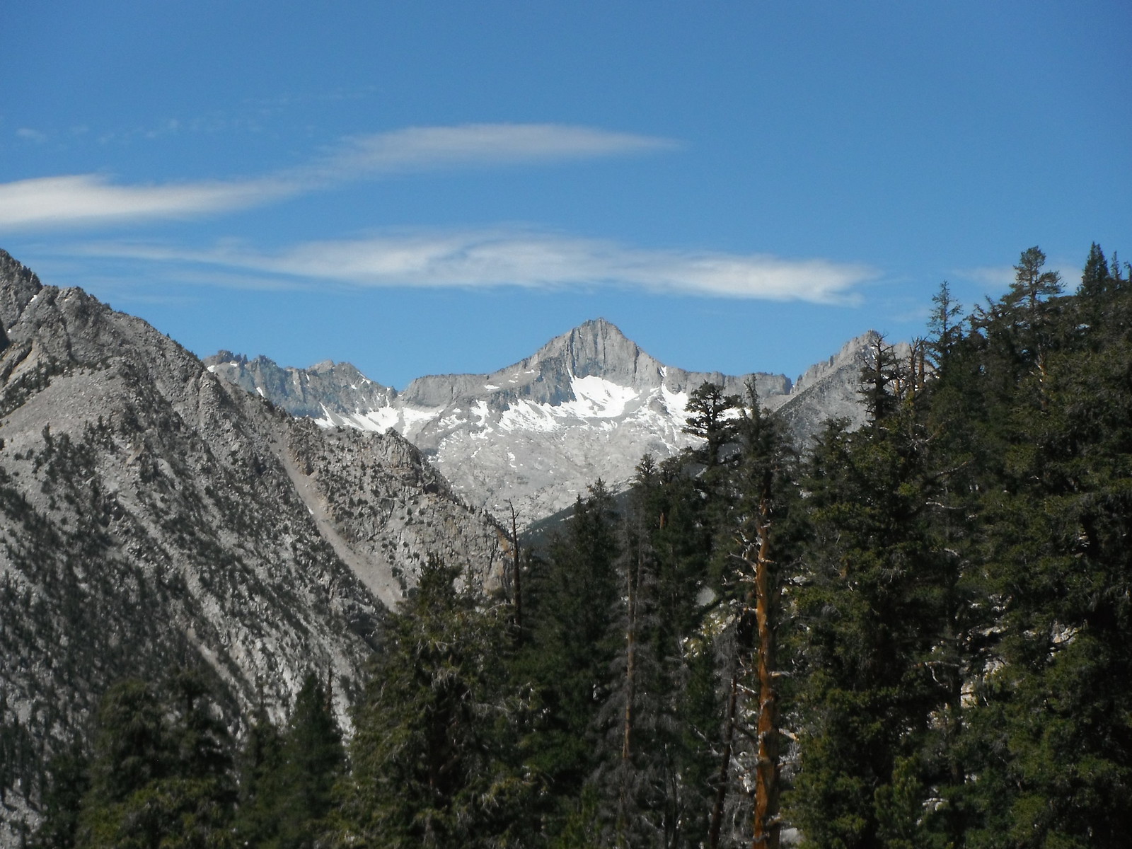
Charlotte Lake and drainage was next on the way down.
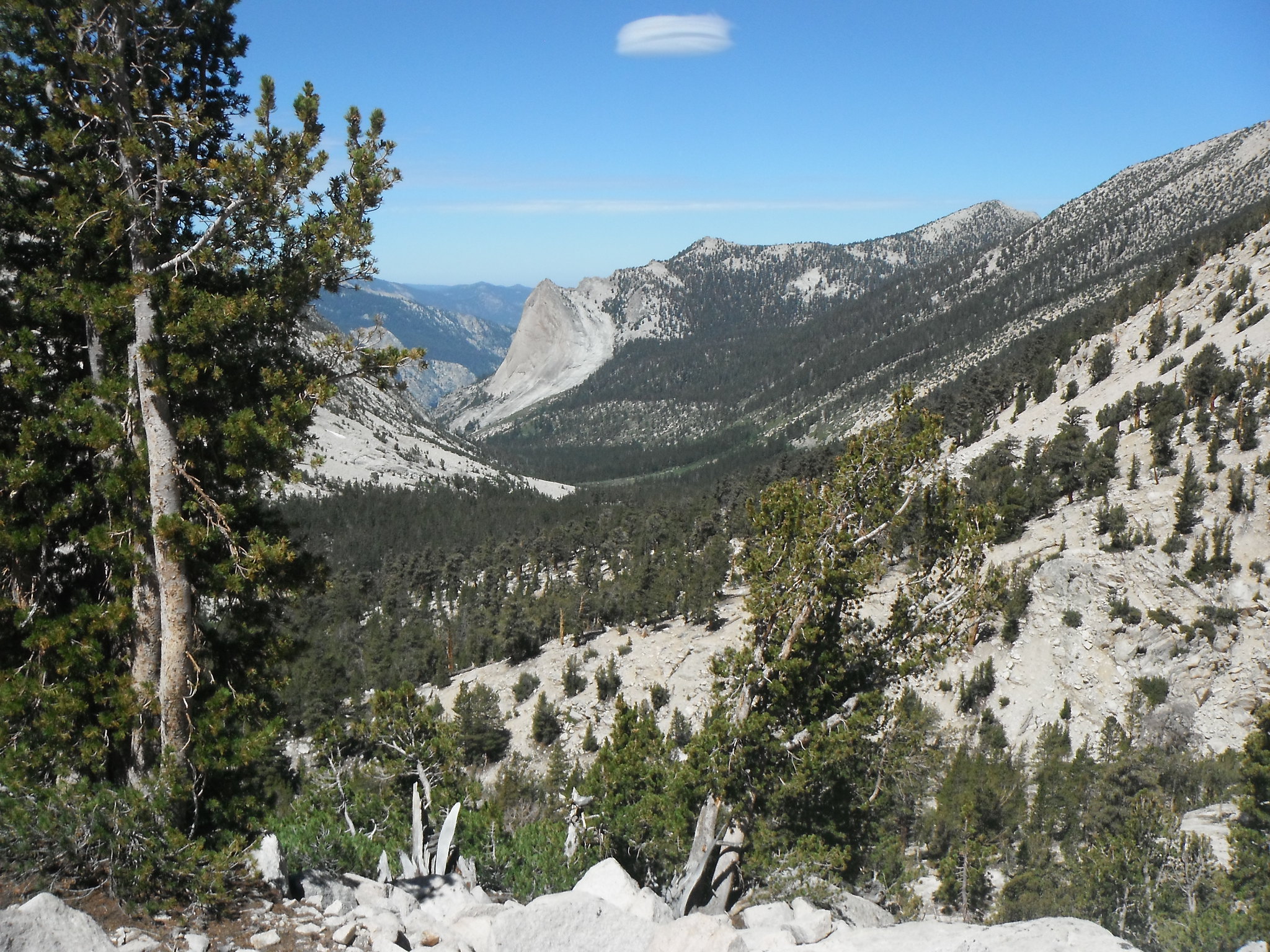
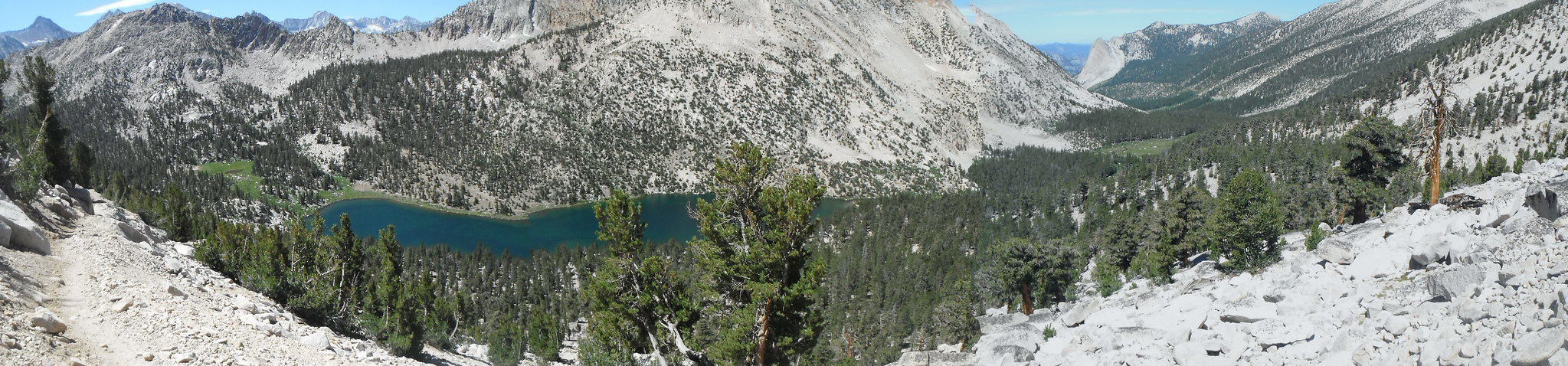
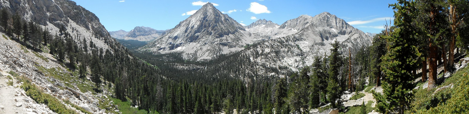
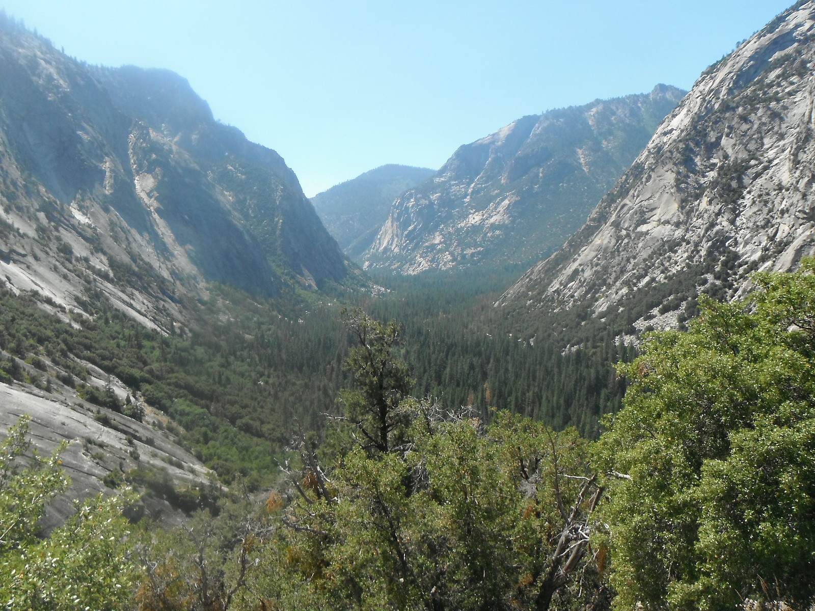
As I followed Bubbs Creek there were awesome views of the Brewer group.
The next 10 miles were boring views of the forest until I got to the switchbacks above Cedar Grove.
Another hour and I was back at the trailhead, ready for some food. As with all hikes out of Cedar Grove, I got a burger at the Hume Lake snack shop before heading back to the real world. My feet were hurting for the next couple days, and I don't think I'll be doing 40+ miles in a weekend any time soon, but I'm glad I did it anyway.
No comments:
Post a Comment