This was my first ever backpacking trip, and it was great. My uncle, an old scoutmaster and avid backpacker, invited me to join him on his trip to Rae Lakes. He has done the trip half a dozen times before and I always heard how beautiful it was. I had recently bought a Kelty Tioga 5300 on craigslist along with some other backpacking items and was anxious to try then out. I was able to borrow a bear canister and his sons 20 degree down bag, but the rest I was able to pull together and borrow for <$200. I was surprised how cheaply I was able to get out there and have a good time, but I digress.
Day 1: Tuesday-Road's End-Junction Meadow
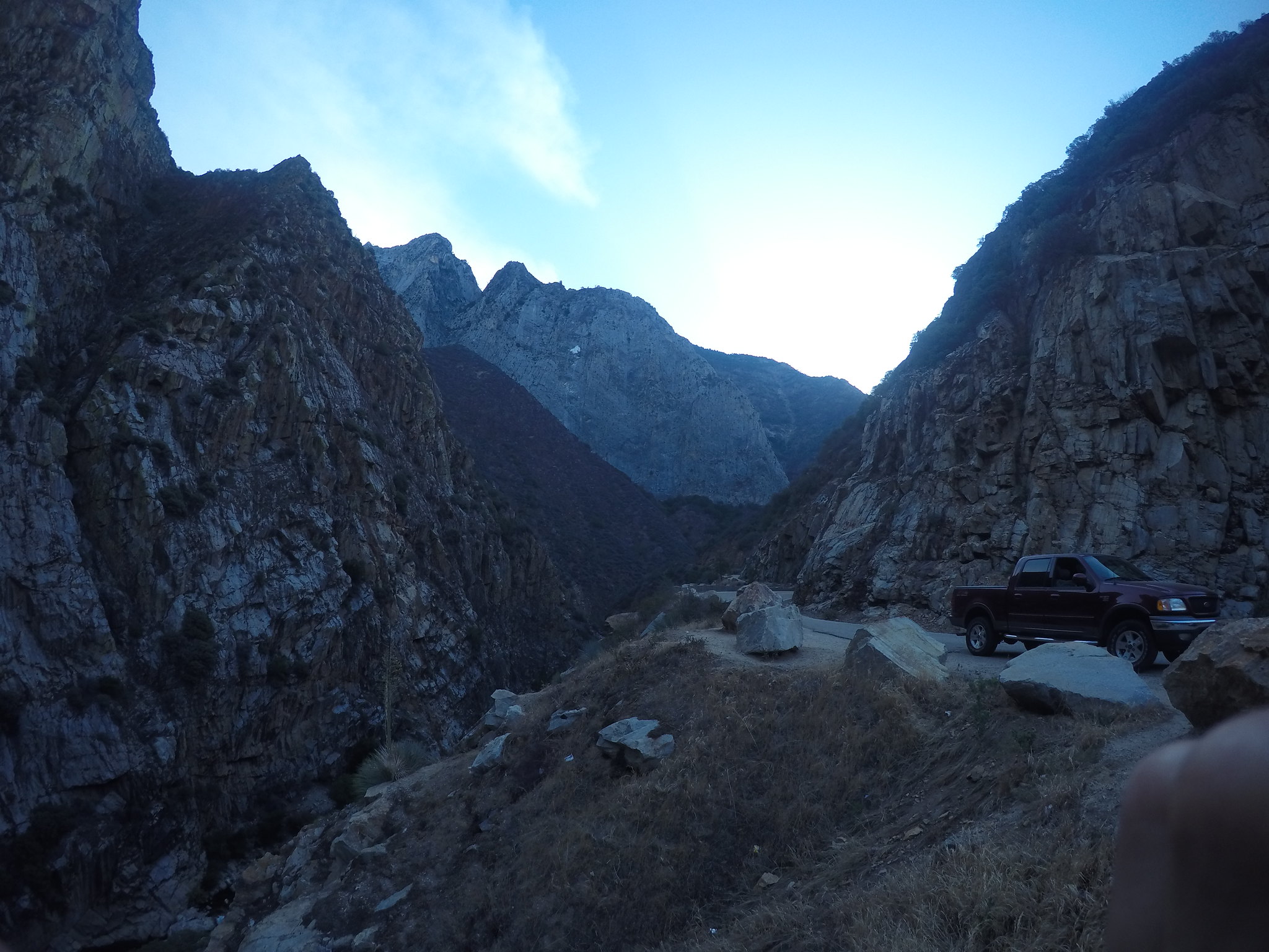
We headed up to Cedar Grove at 5 am, taking plenty of stops for pictures.
The last time I'd been here was when I was in 7th grade- we made it to Road's End by 7:45. After getting our walk-up permits and parking the car, we hit the trail at 8:45. The DG Highway was still there, but luckily it was cool enough not to be too bad.
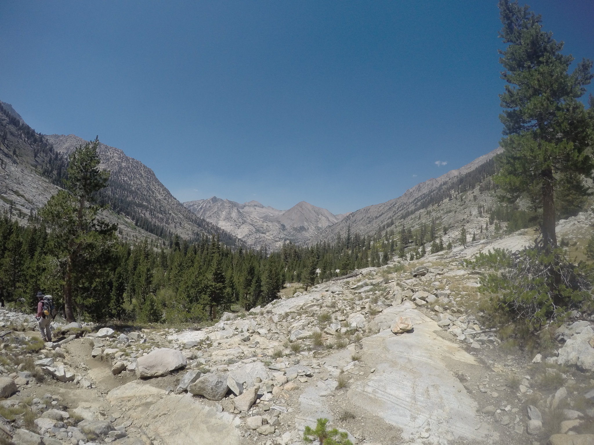
We turned up Bubb's Creek and switchbacked our way to overlook Kings Canyon. One of many highlights of the trip.
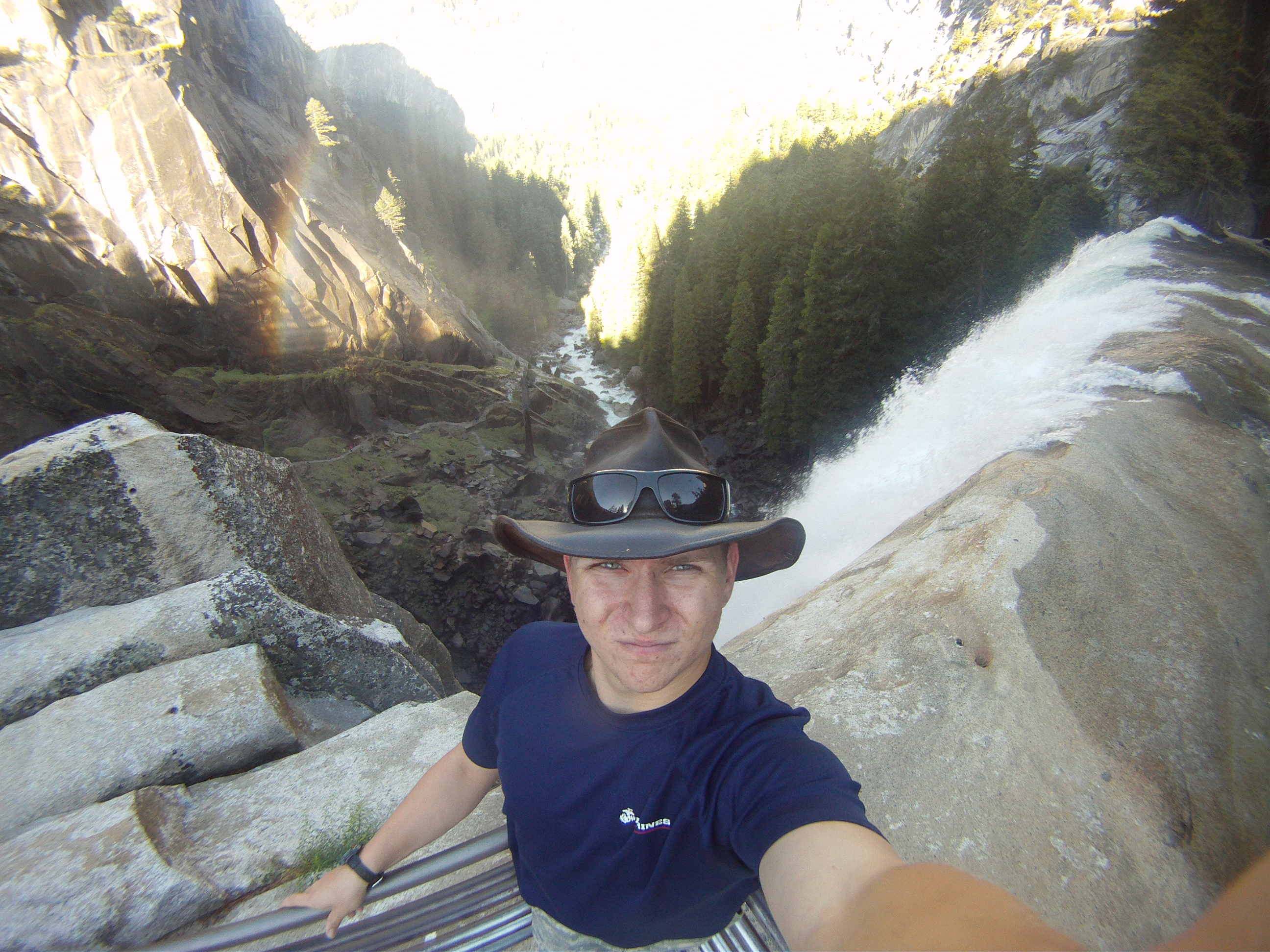
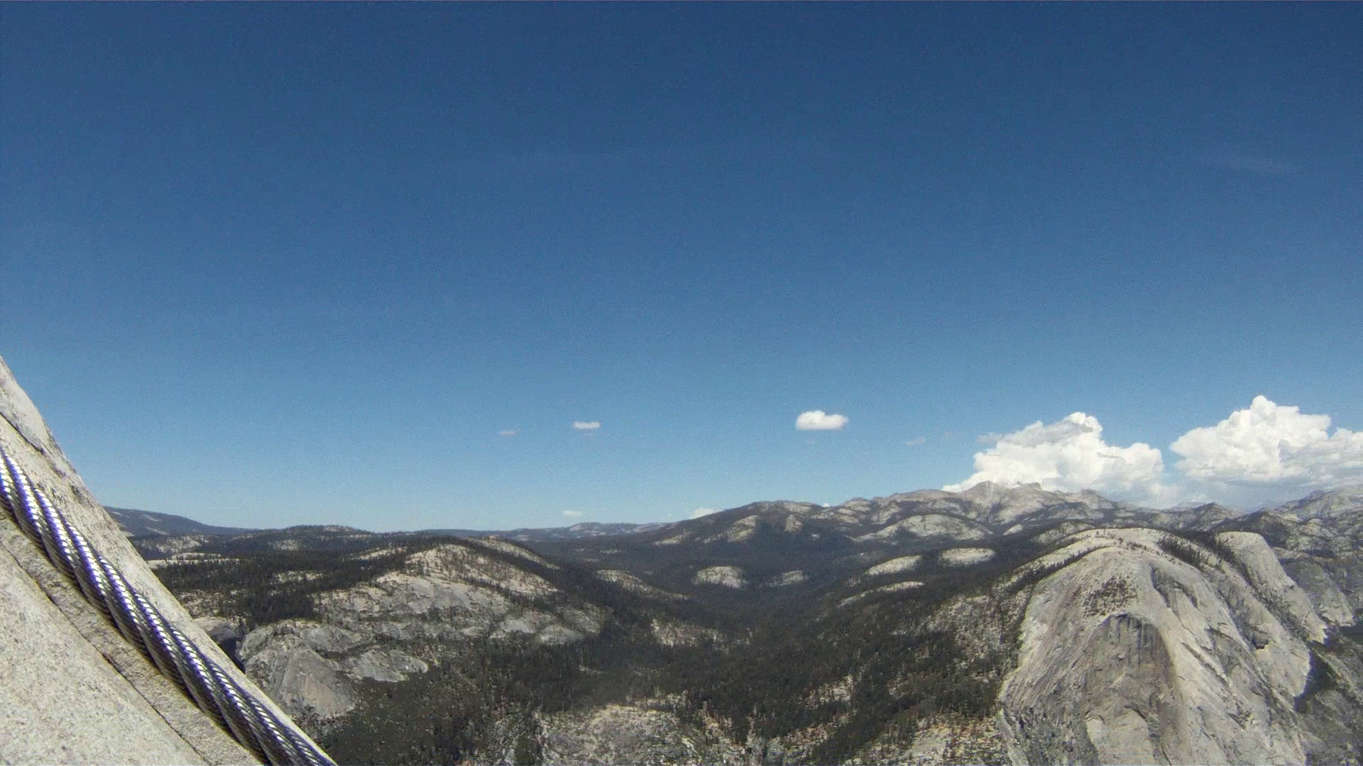
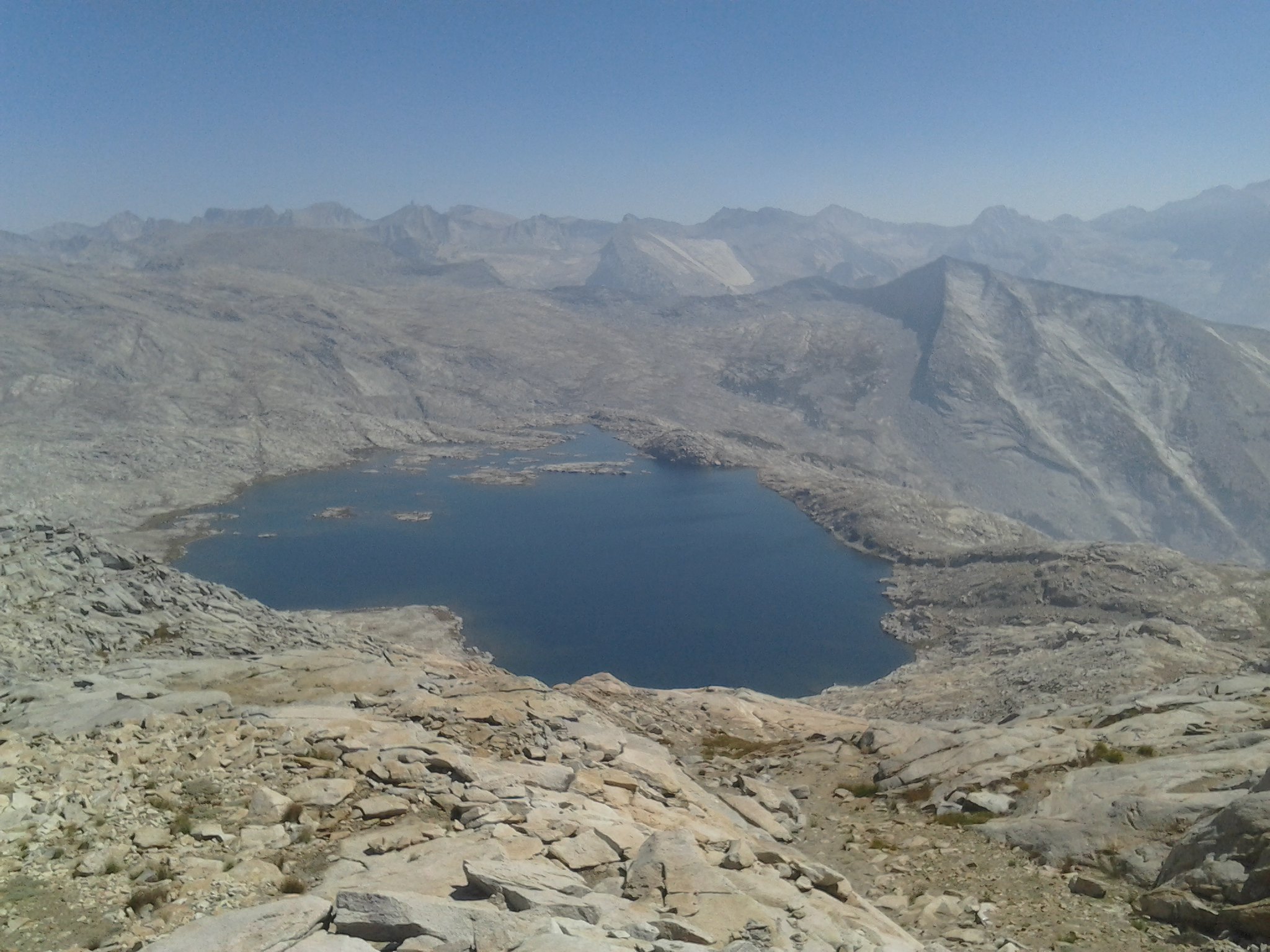
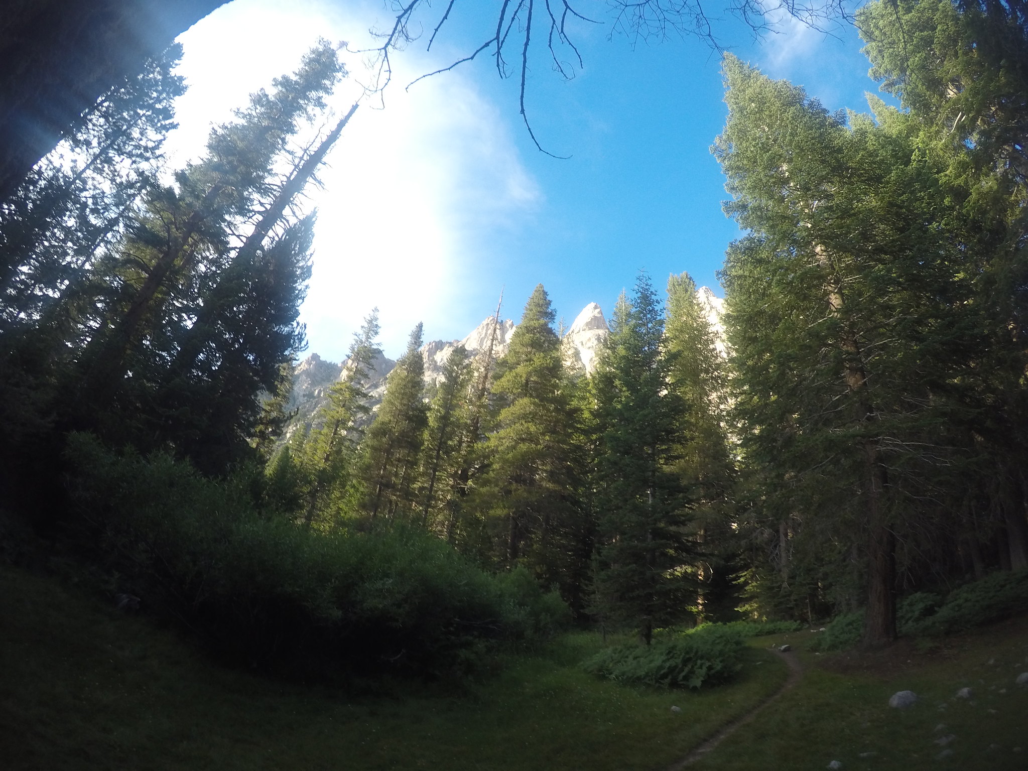
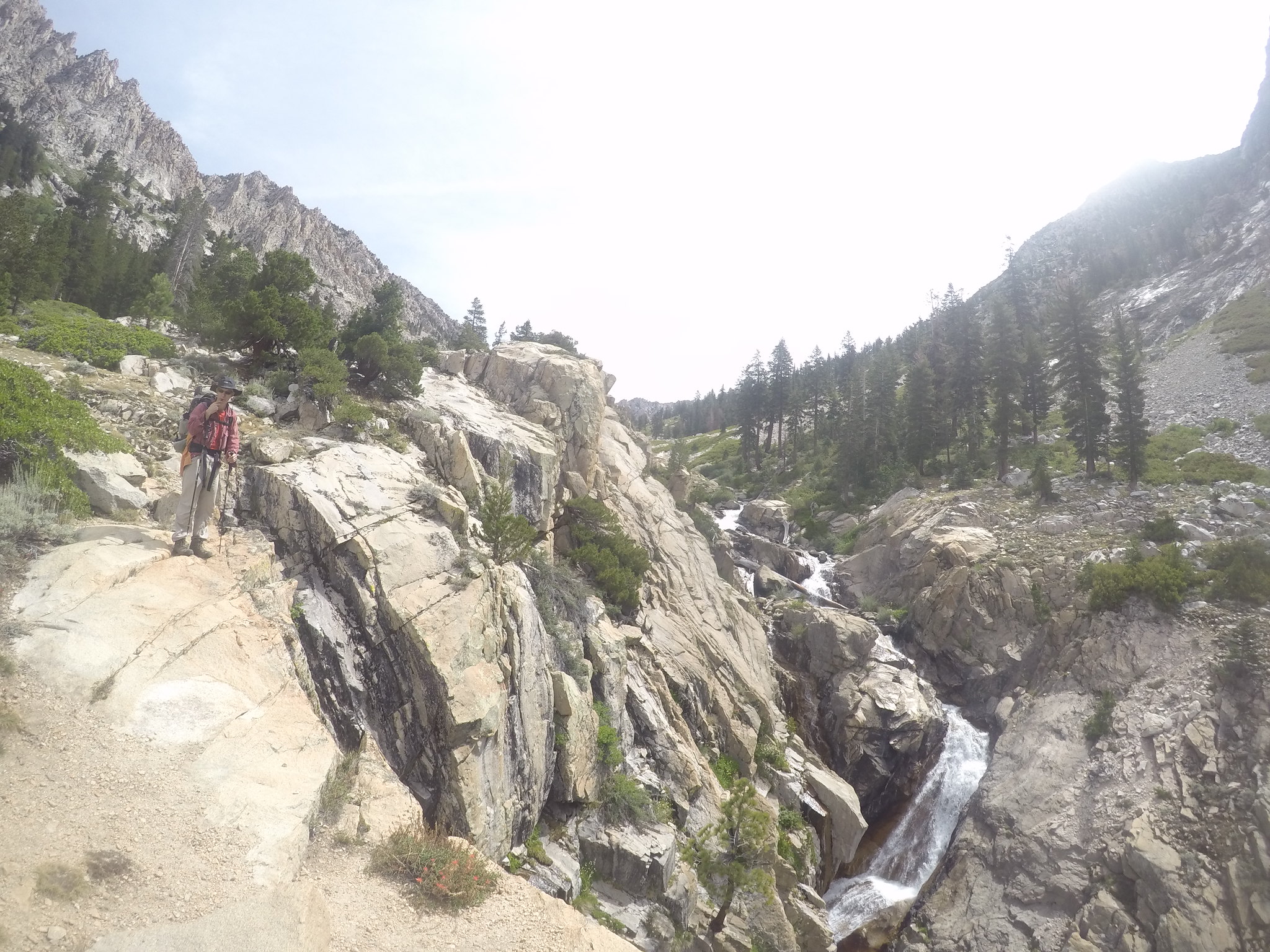
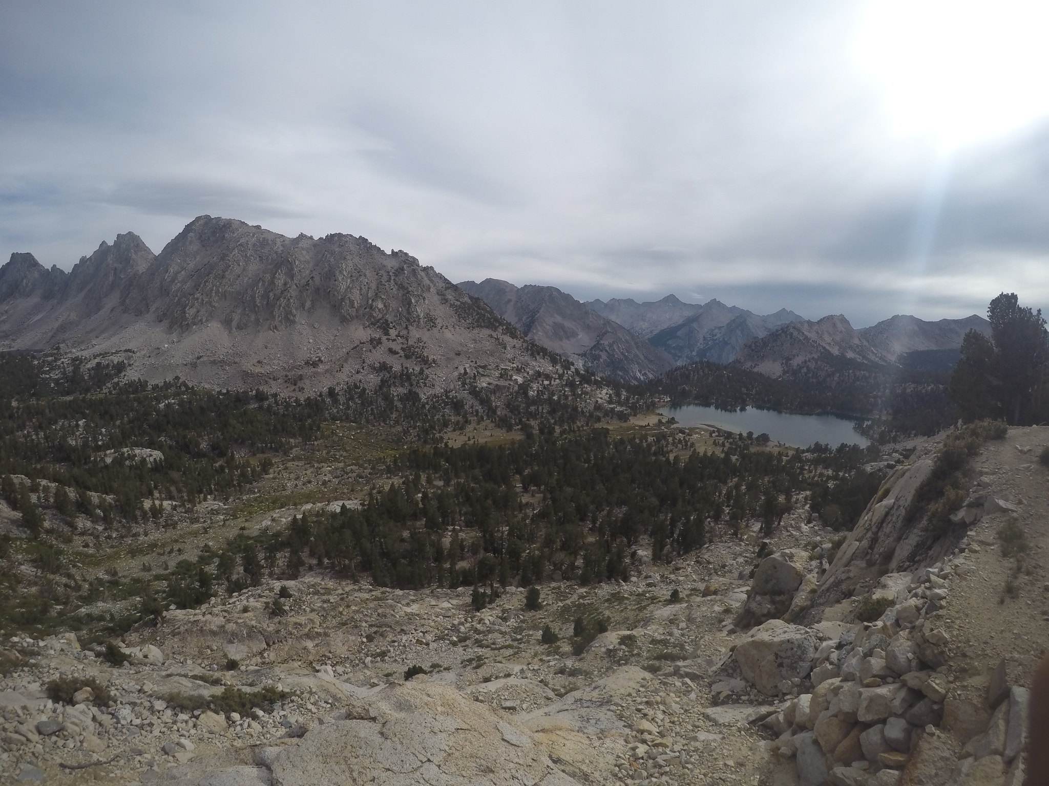
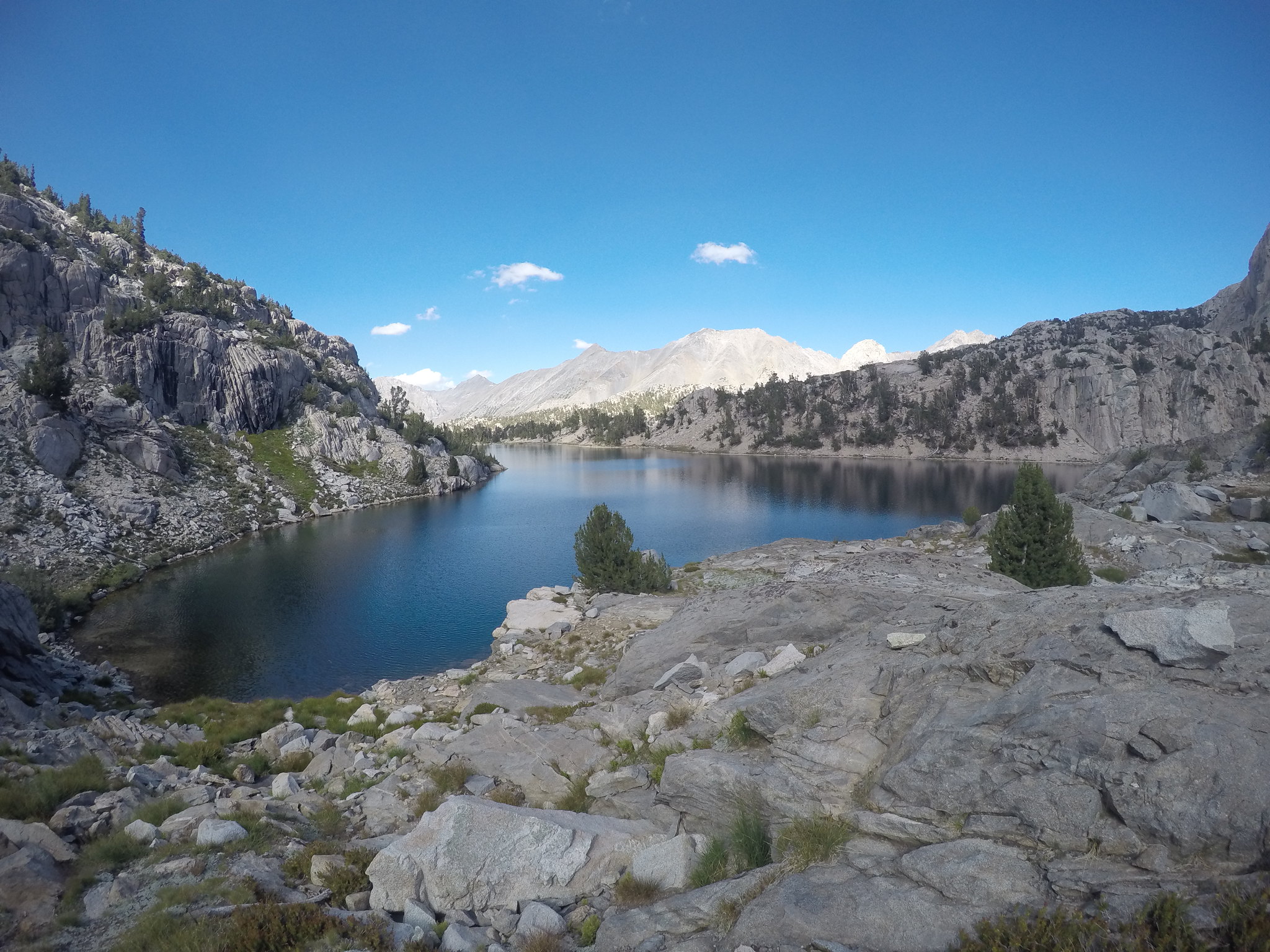
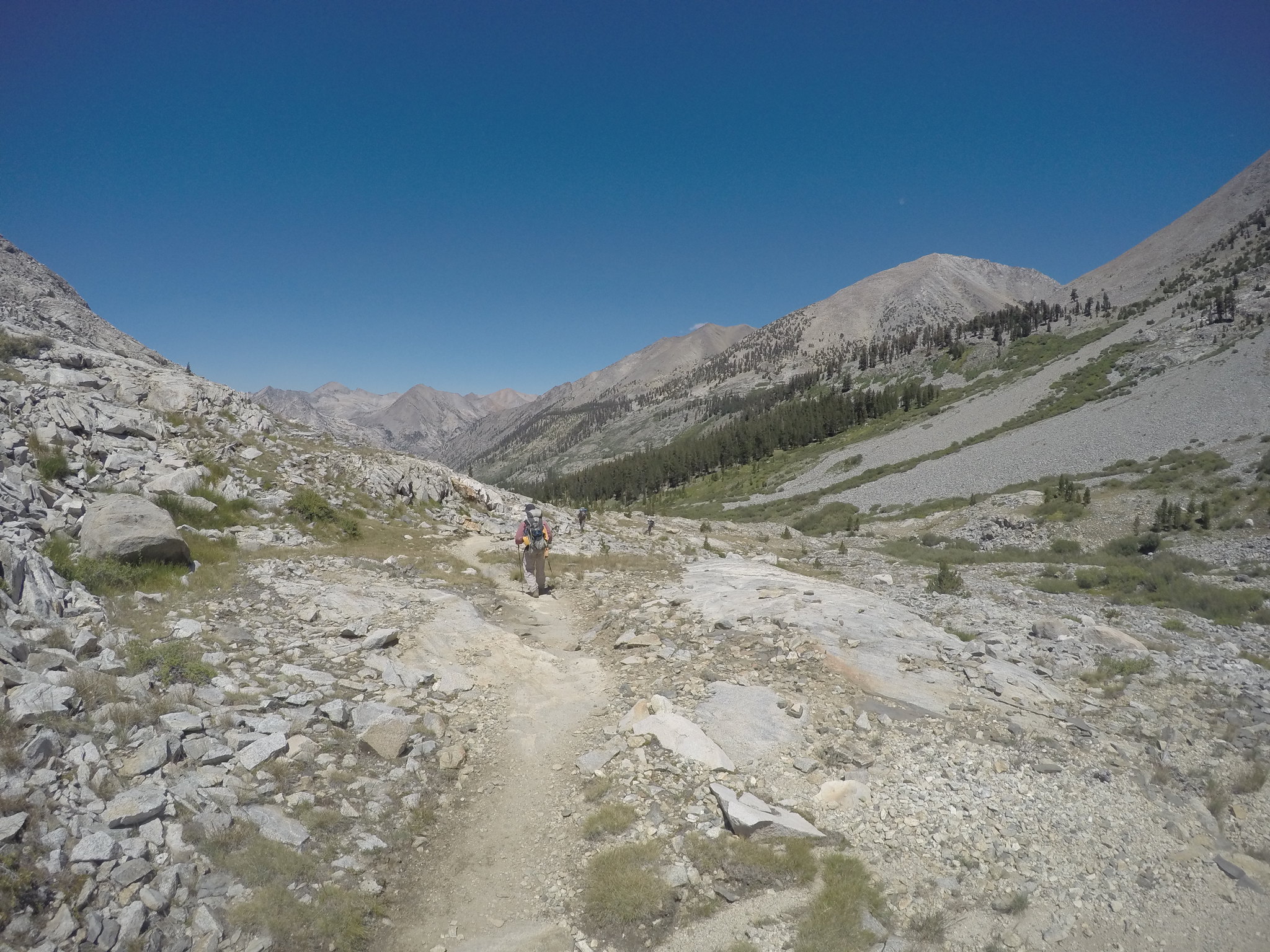
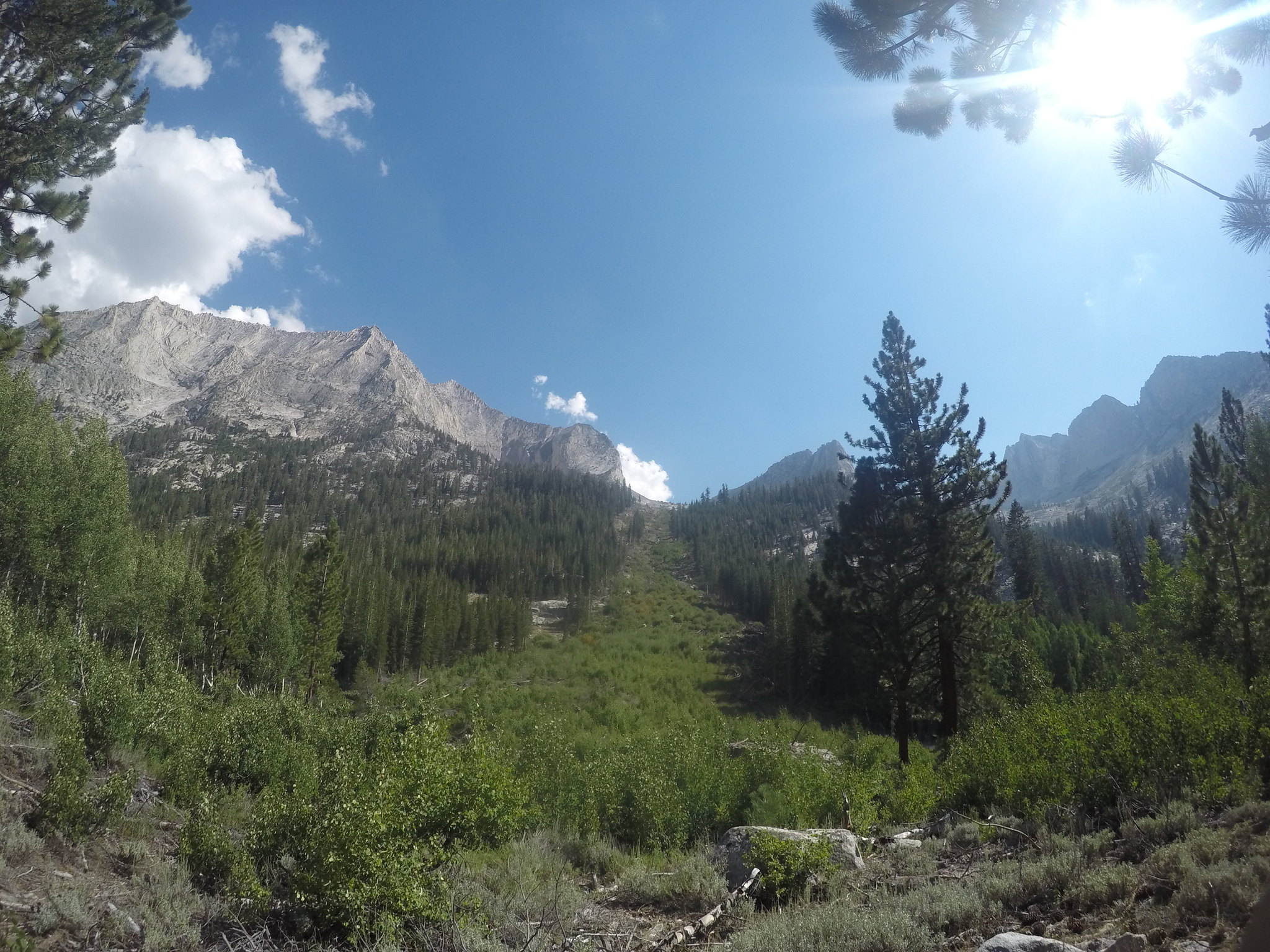
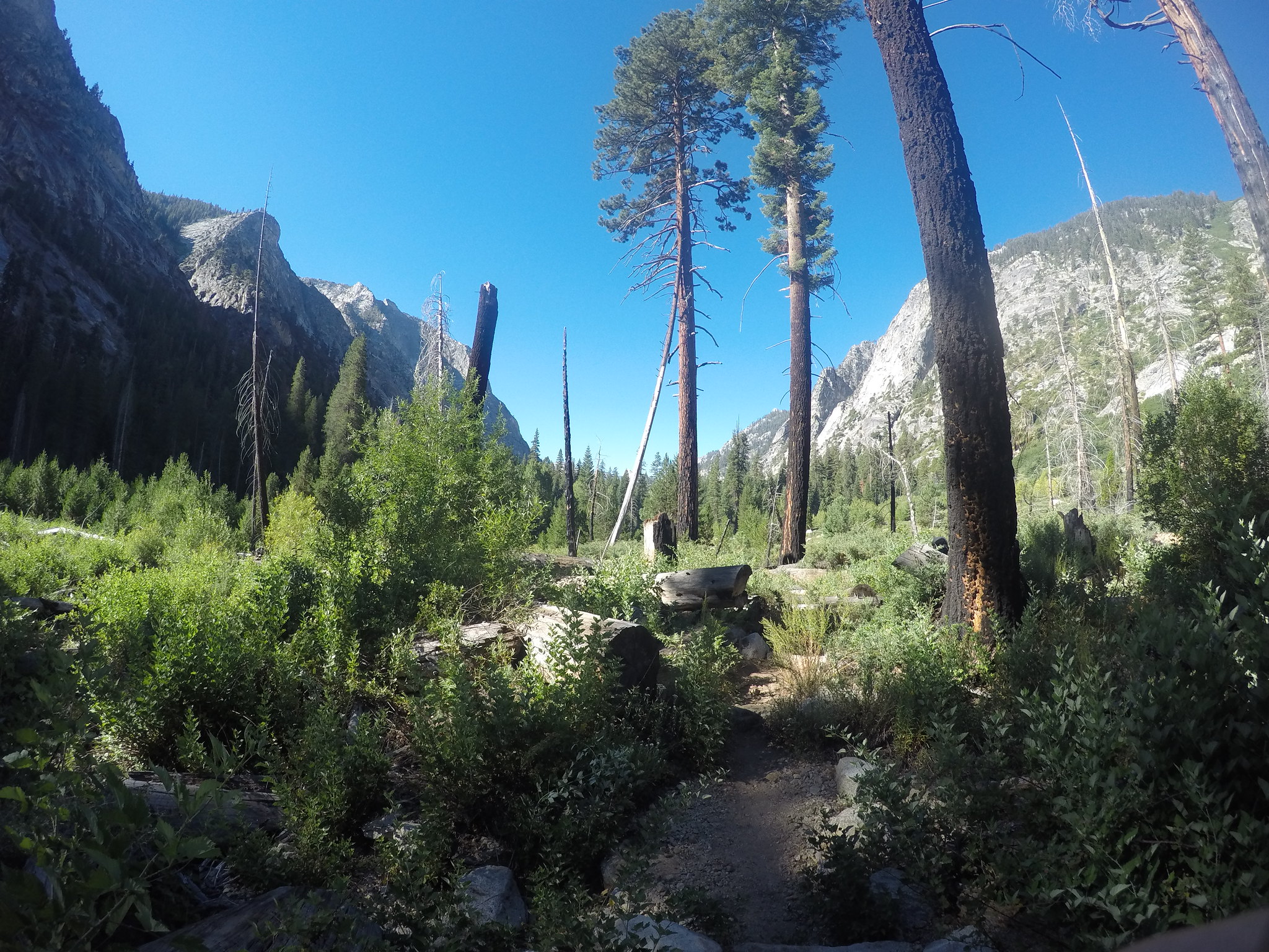
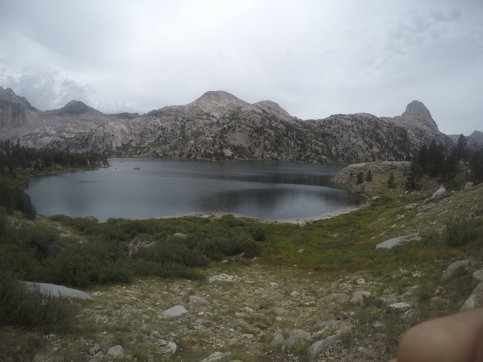
GOPR0922
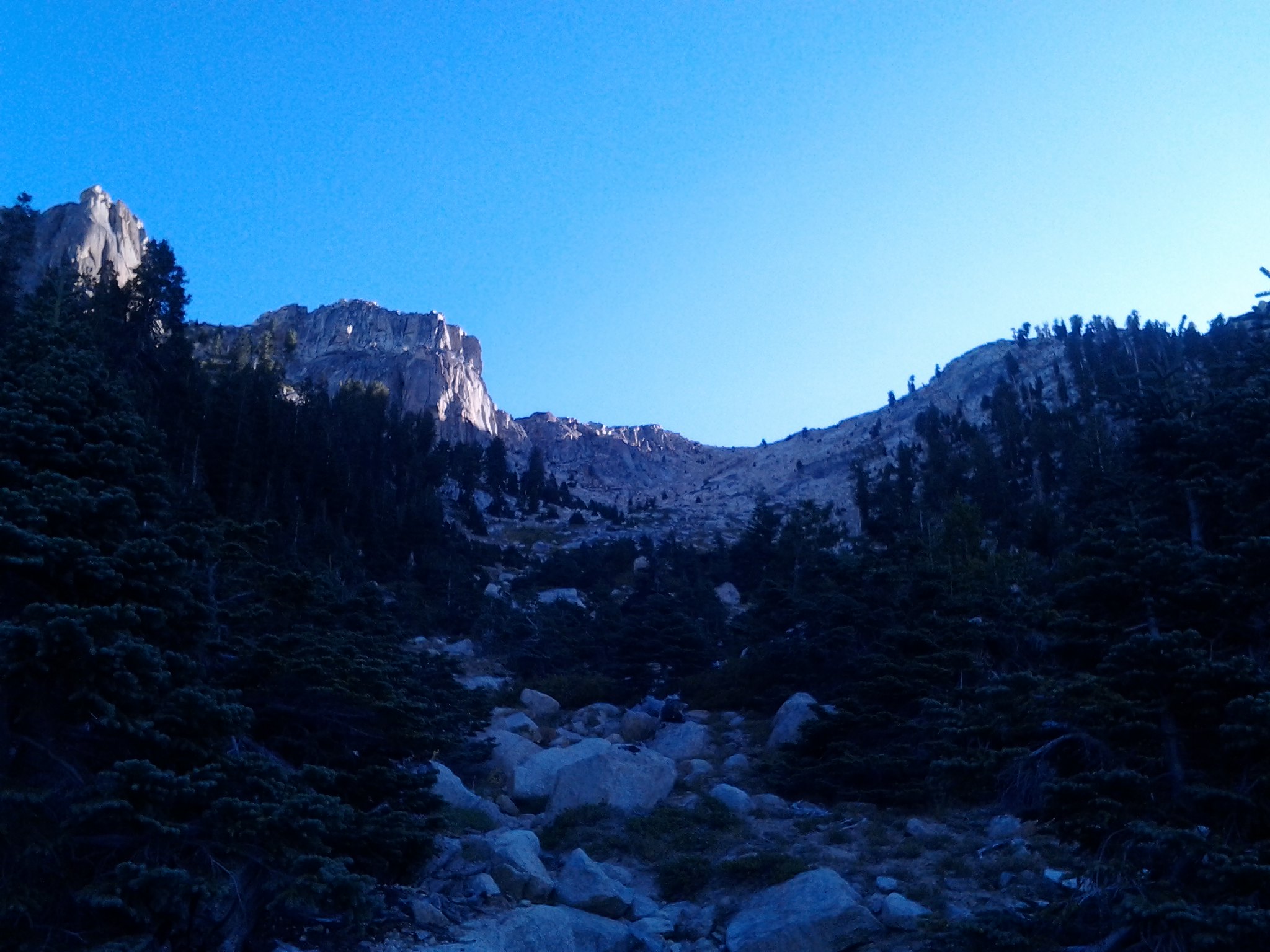
We hiked to Charlotte Creek, the regular first-night camp of my uncle, but I urged him to keep going.
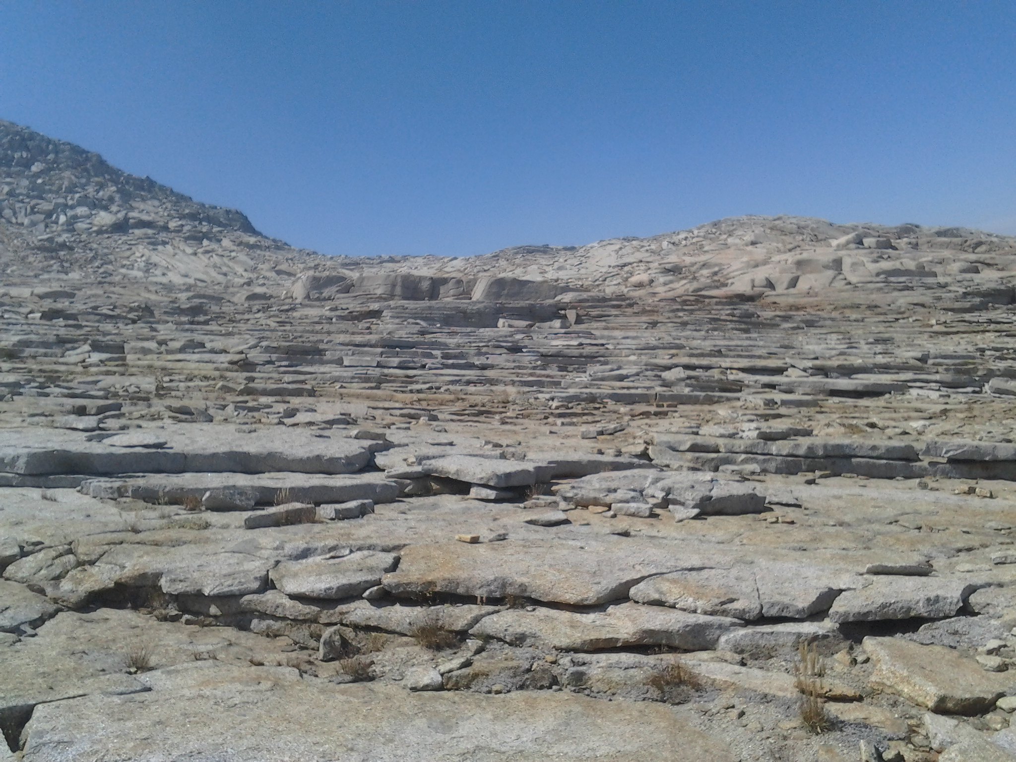
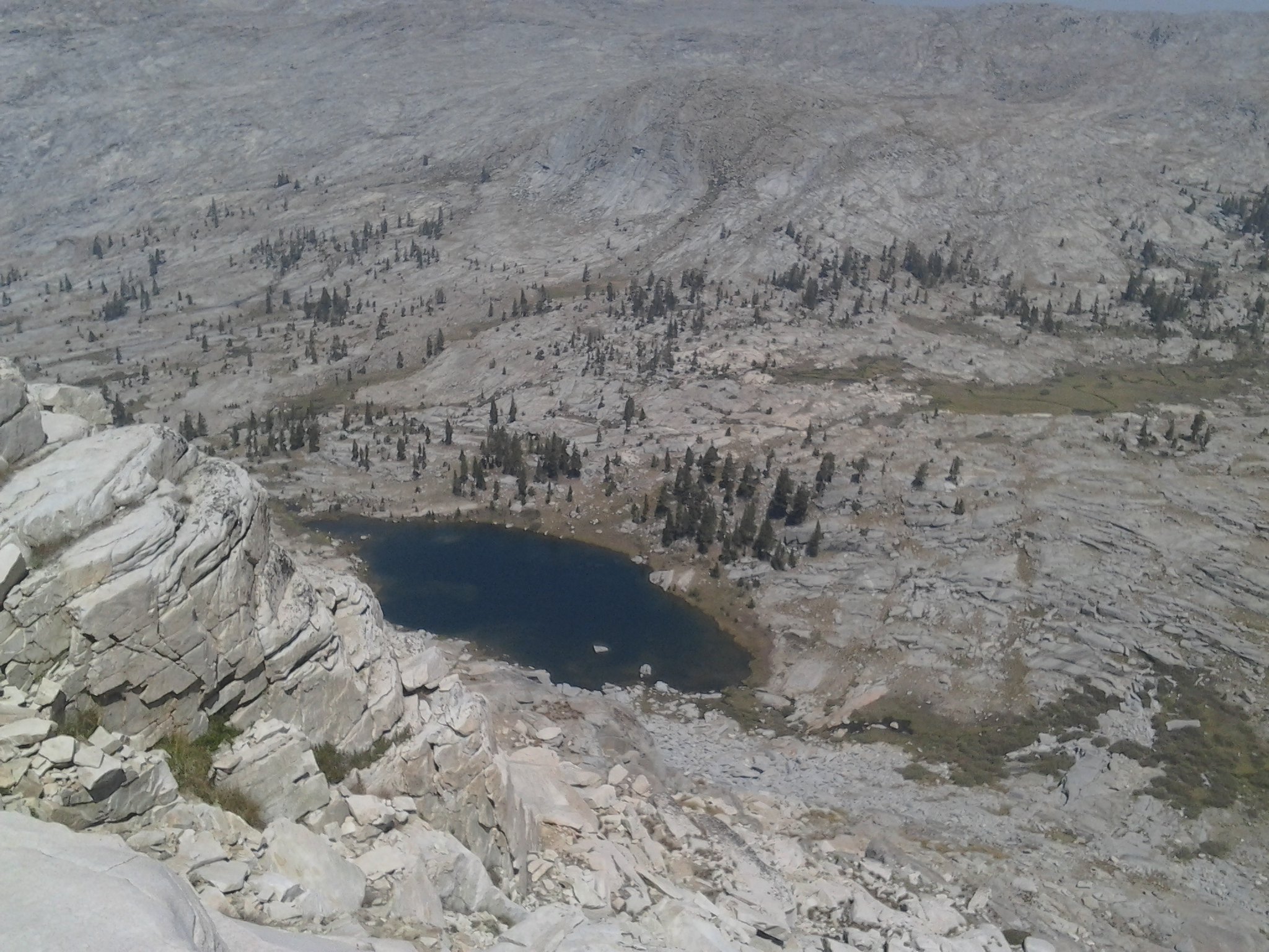
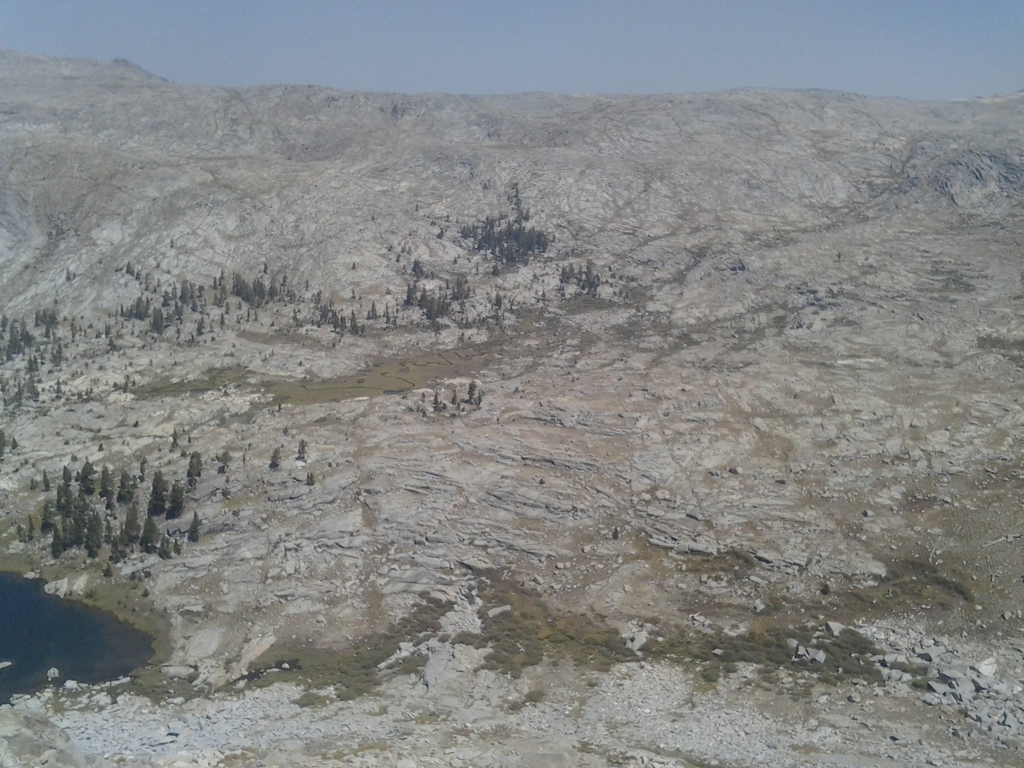
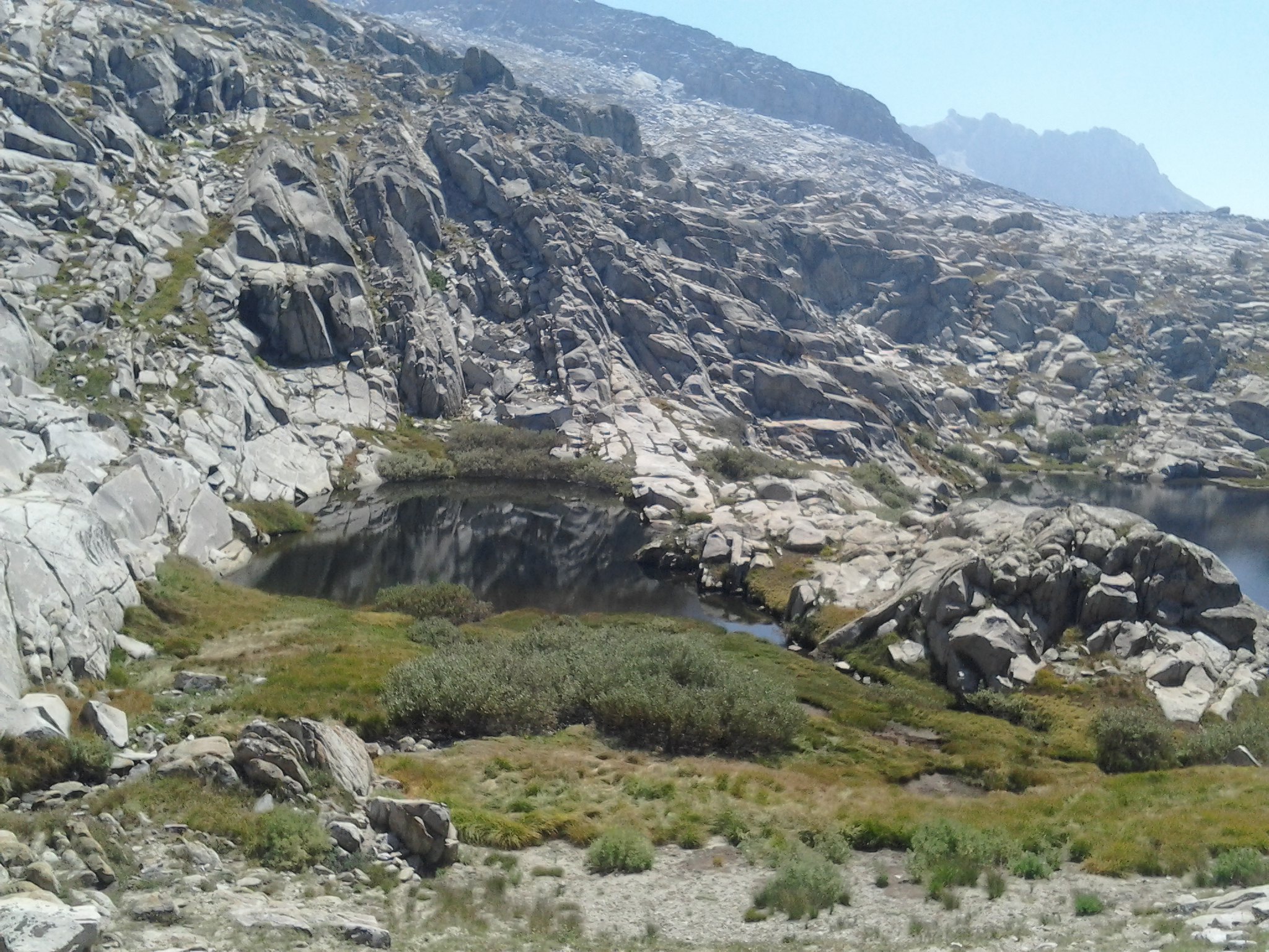
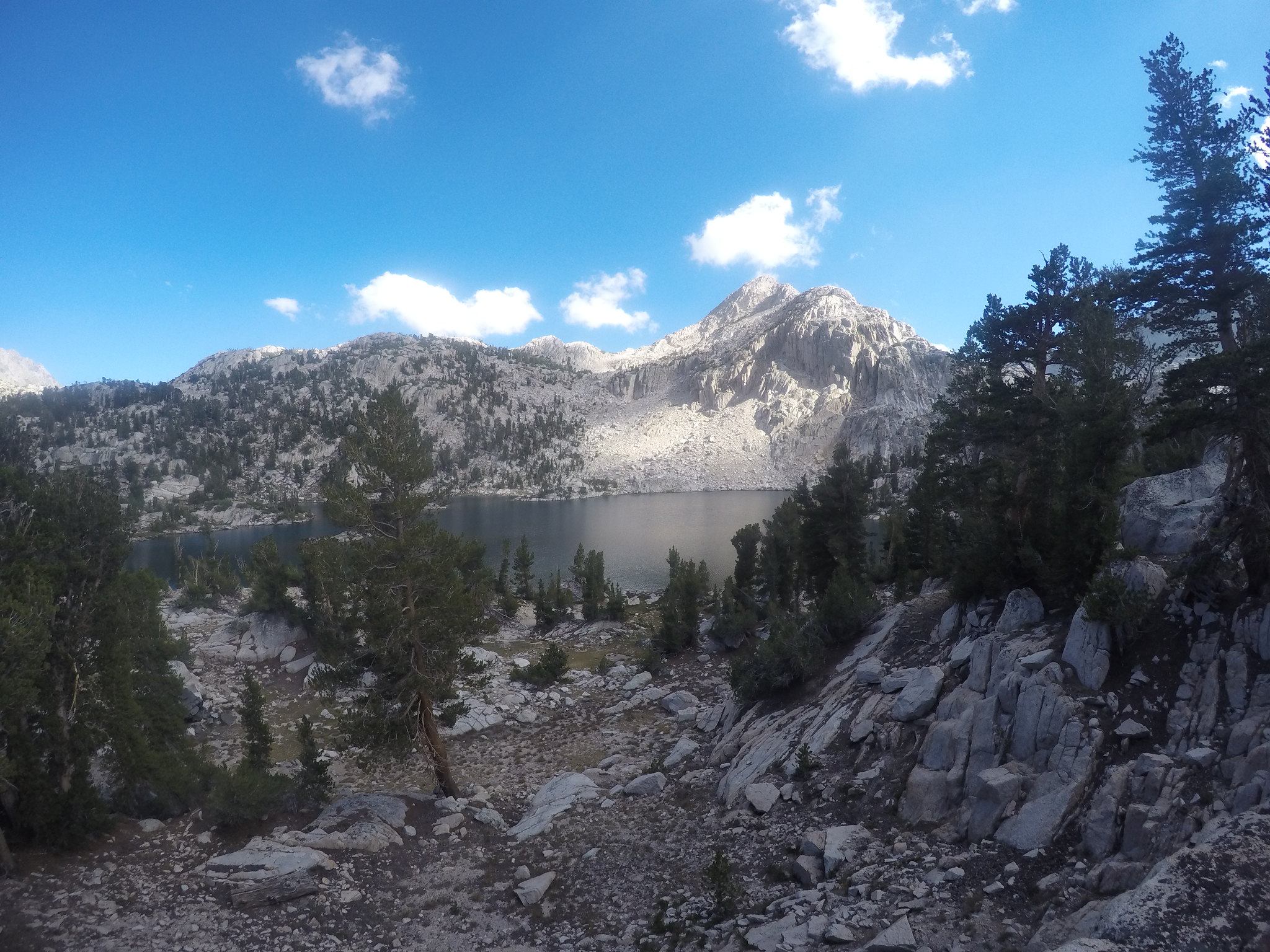
We kept hiking until stopping at Junction Meadow for the night. We had some nice neighbors, a Mormon group doing the same loop in one less day. They invited us to their fire, and after dinner we obliged. My favorite part of our camp that night were the granite outcroppings looming above us.
Looking at the topo, I noted that by tomorrow we would be looking down on those pinnacles.
Day 2: Wednesday-Junction Meadow-Rae Lakes
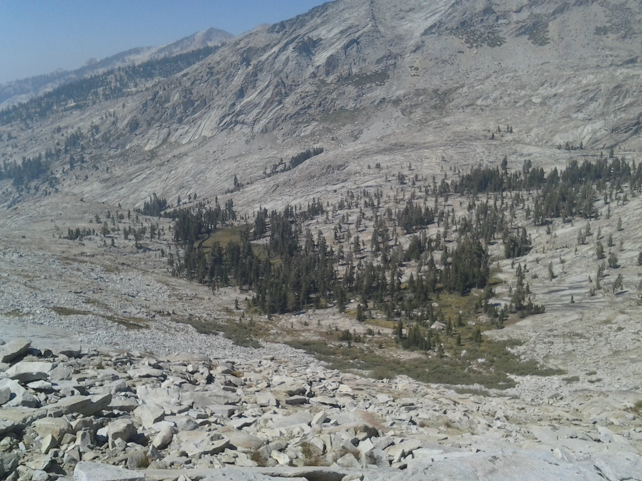
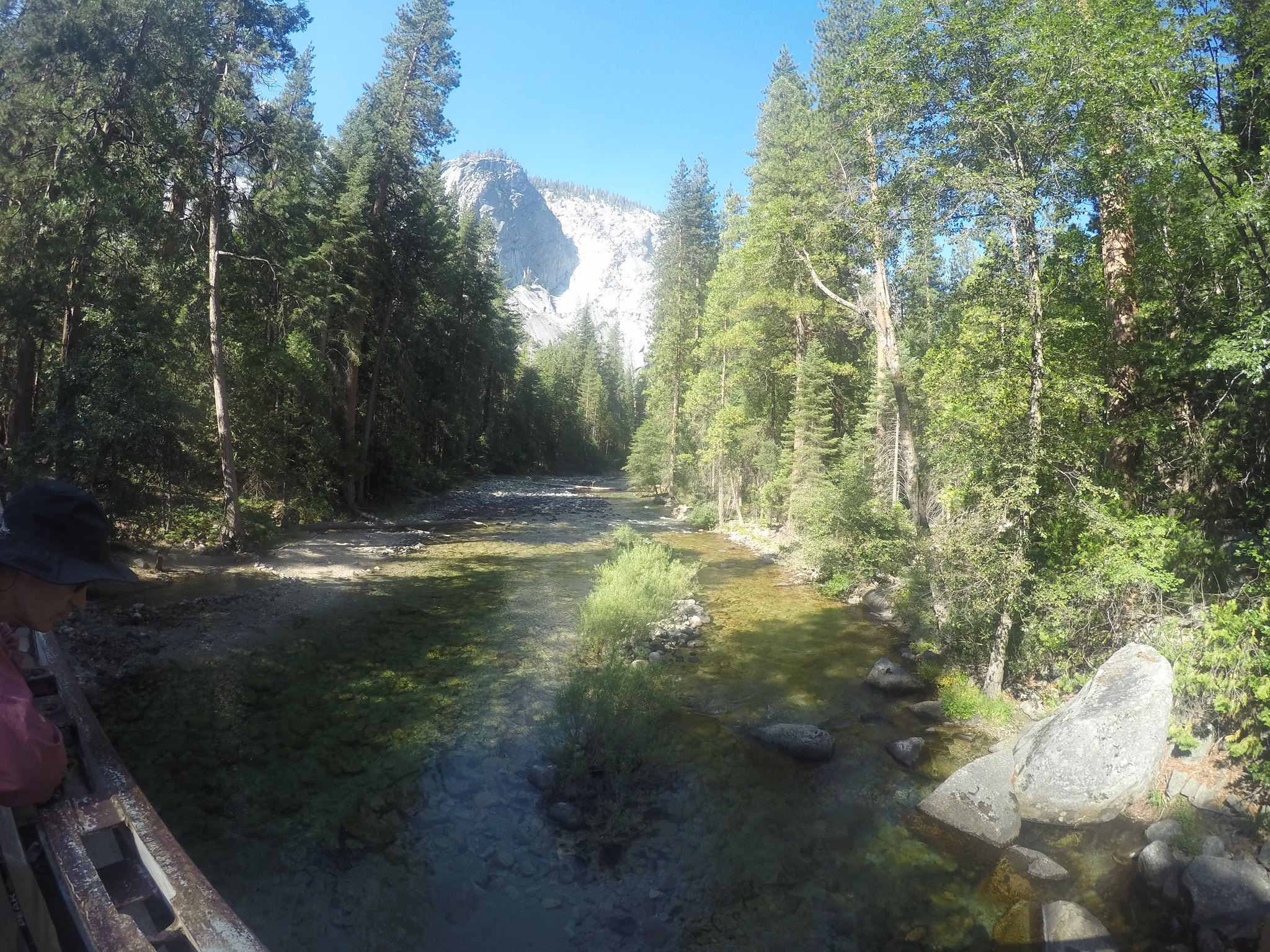
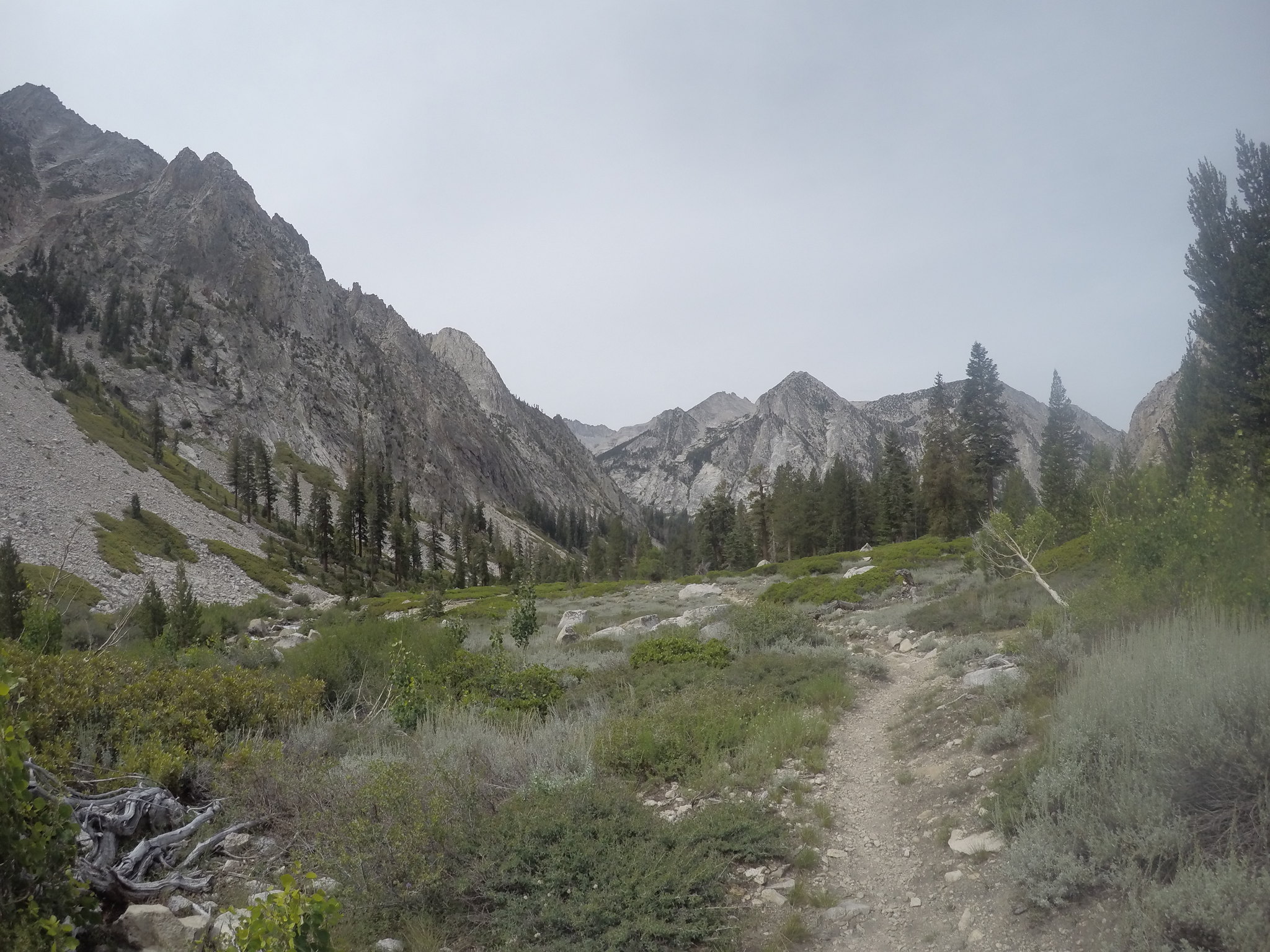
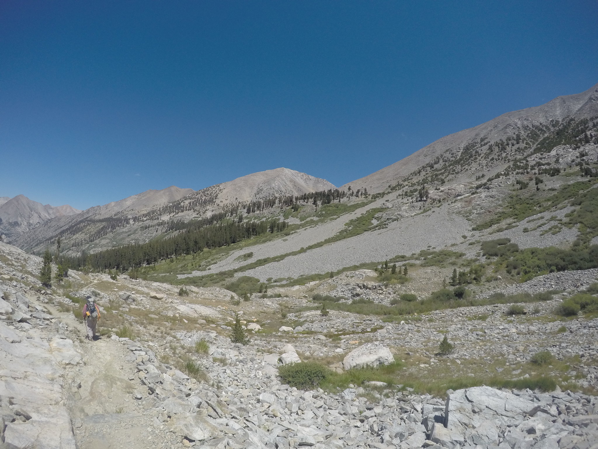
After a good nights sleep, we leisurely broke camp and started on the trail at 9:30, a common occurrence I found. Just a hundred yards up the trail was another highlight for me: looking up the East Creek drainage.
As we climbed up Bubb's, the views of the high country around Brewer really started to emerge.
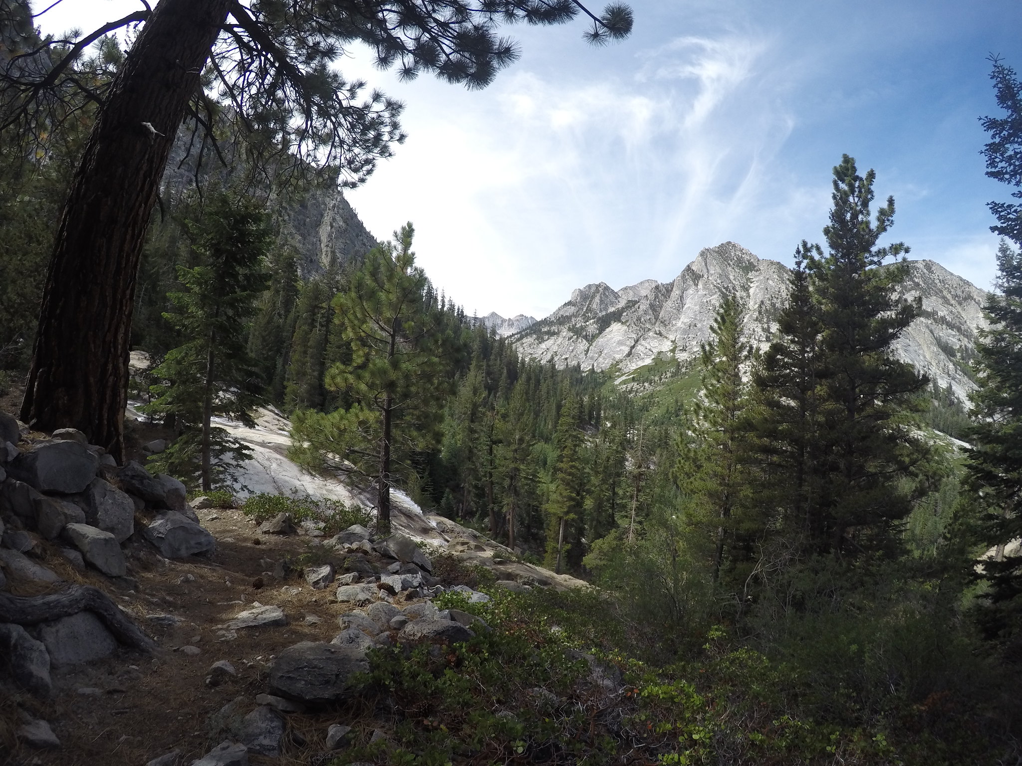
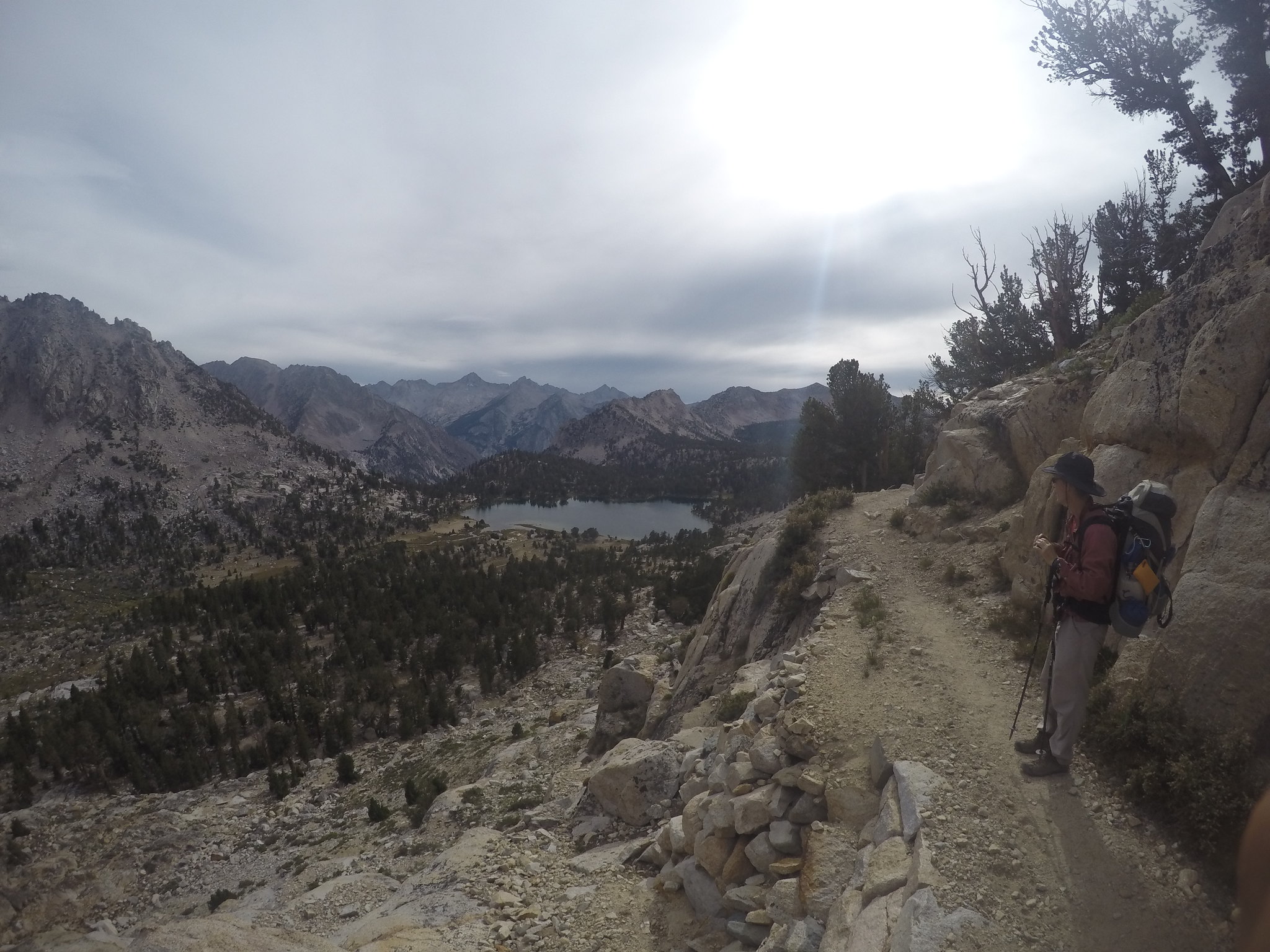
Making it to lower Vidette, we refueled before making the climb up to the junction between Bullfrog and Charlotte Lakes. That little portion was the hardest part of the loop for me, but also allowed great views of Bubbs and Vidette Creek canyons.
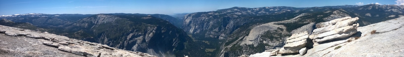
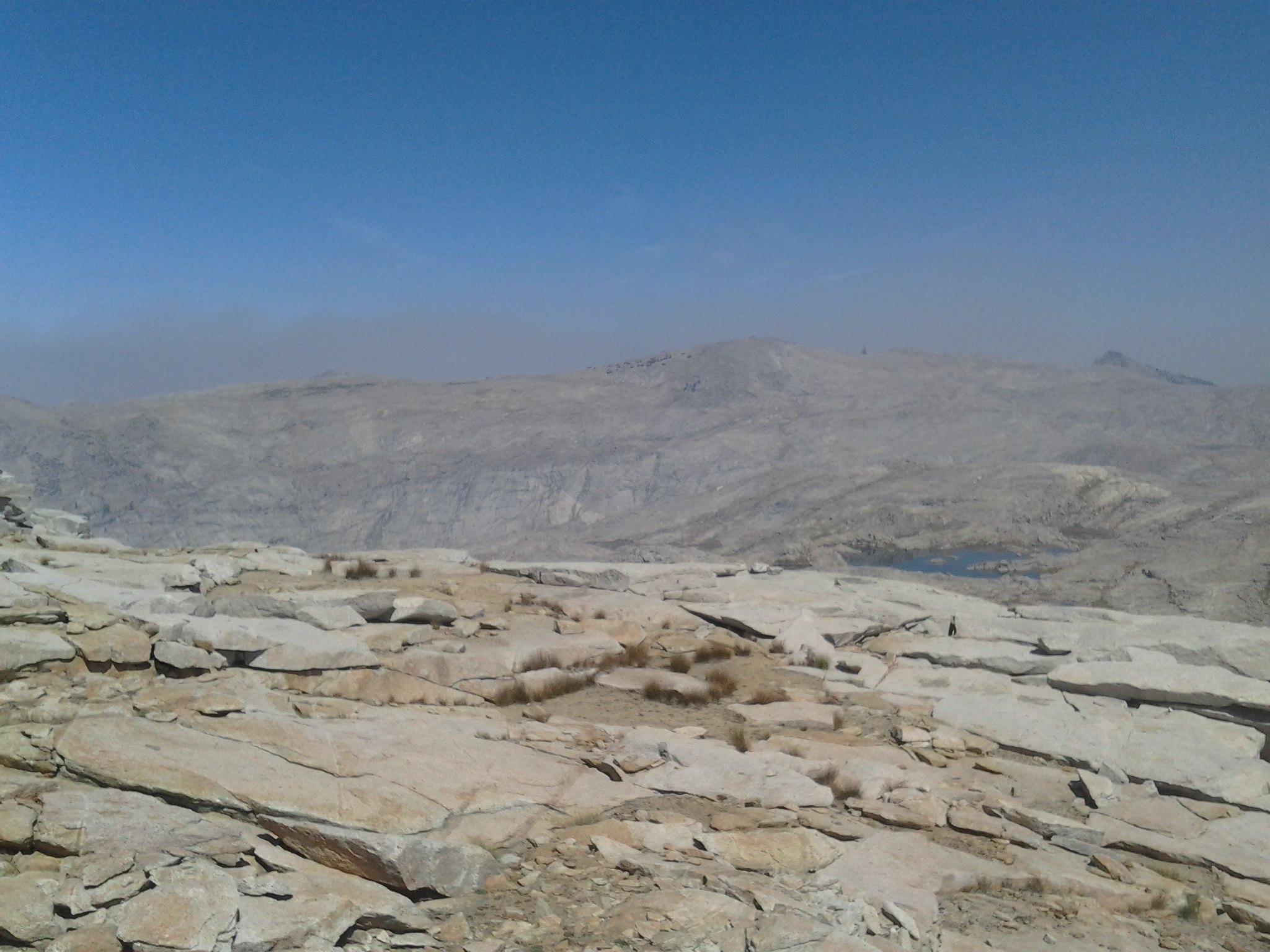
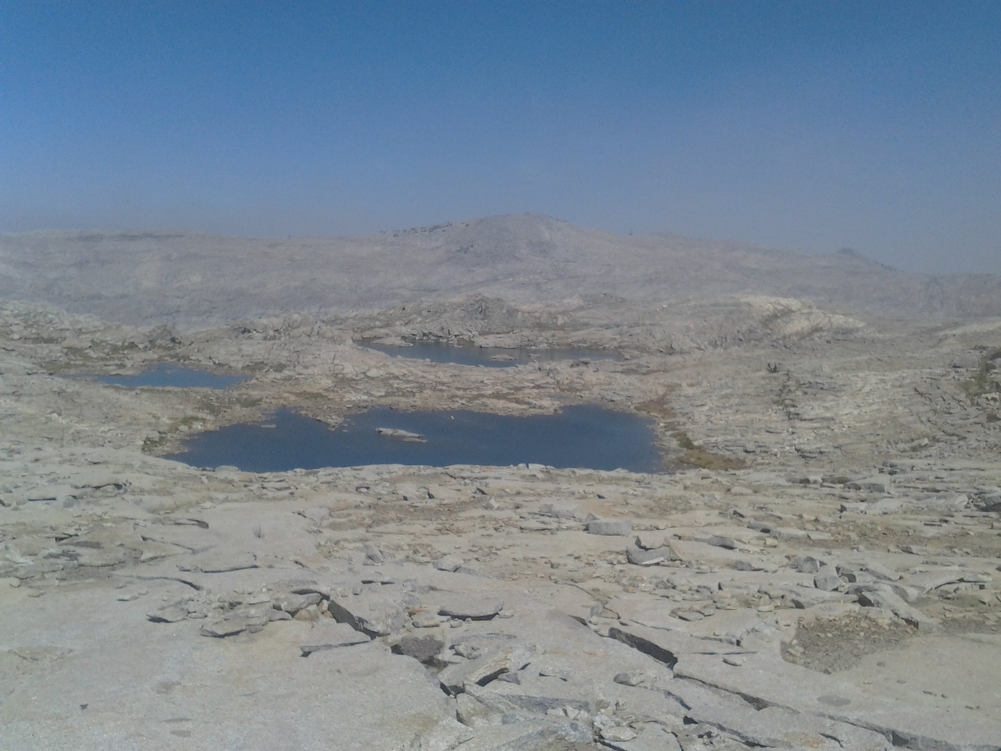
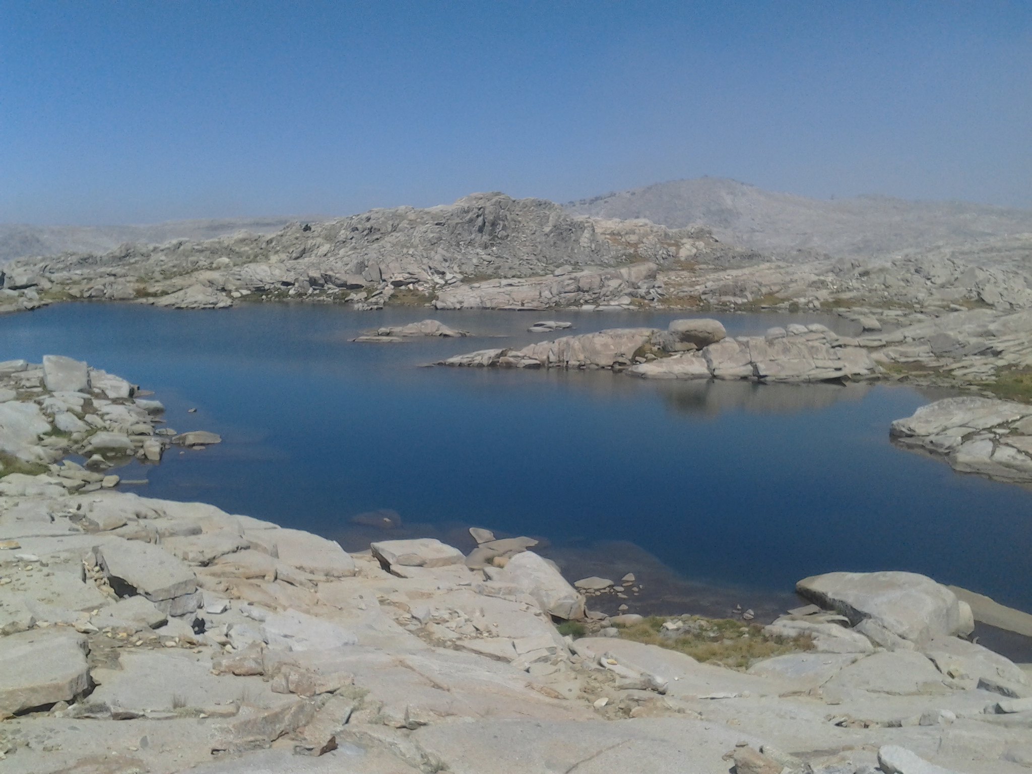
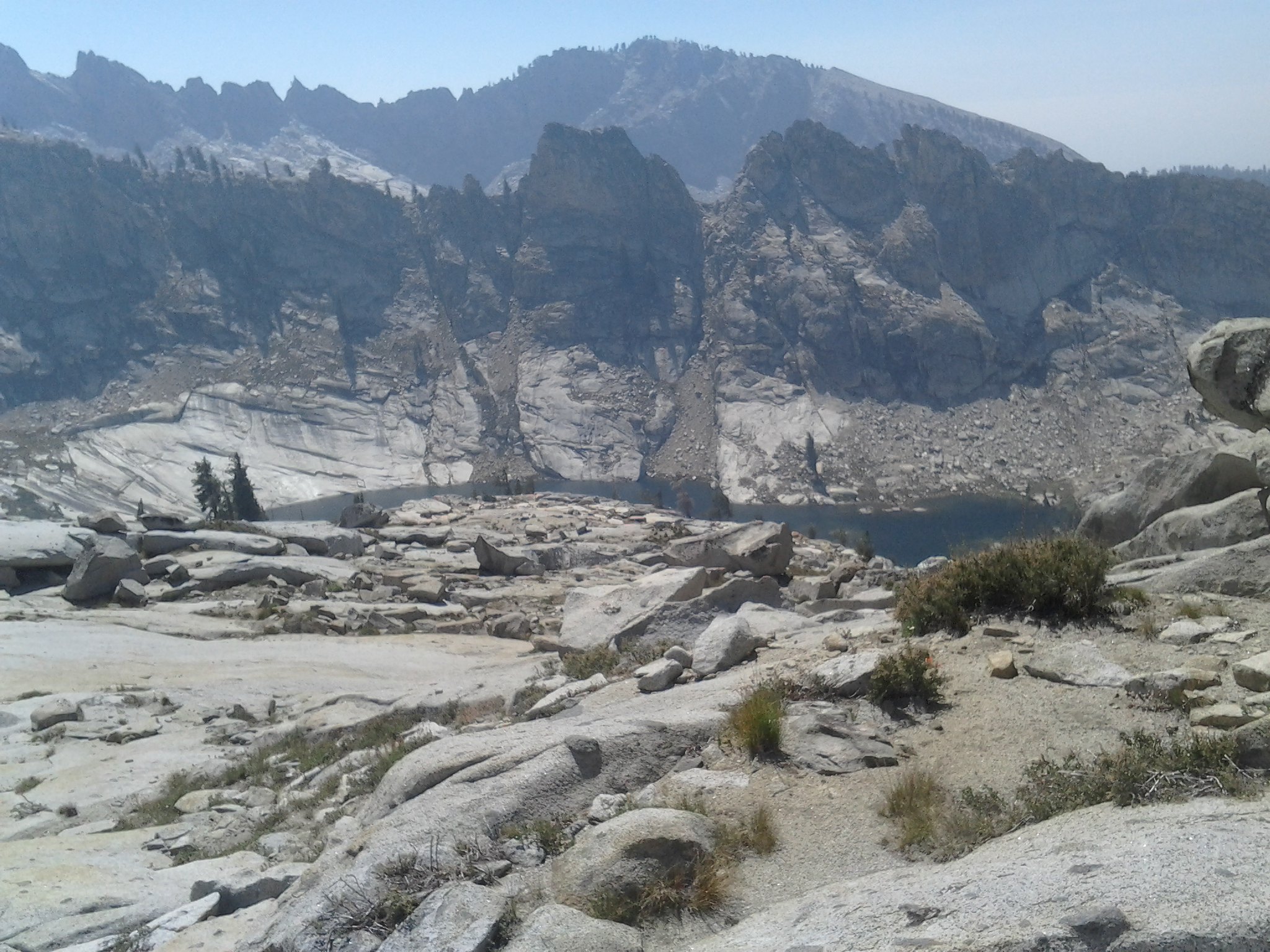
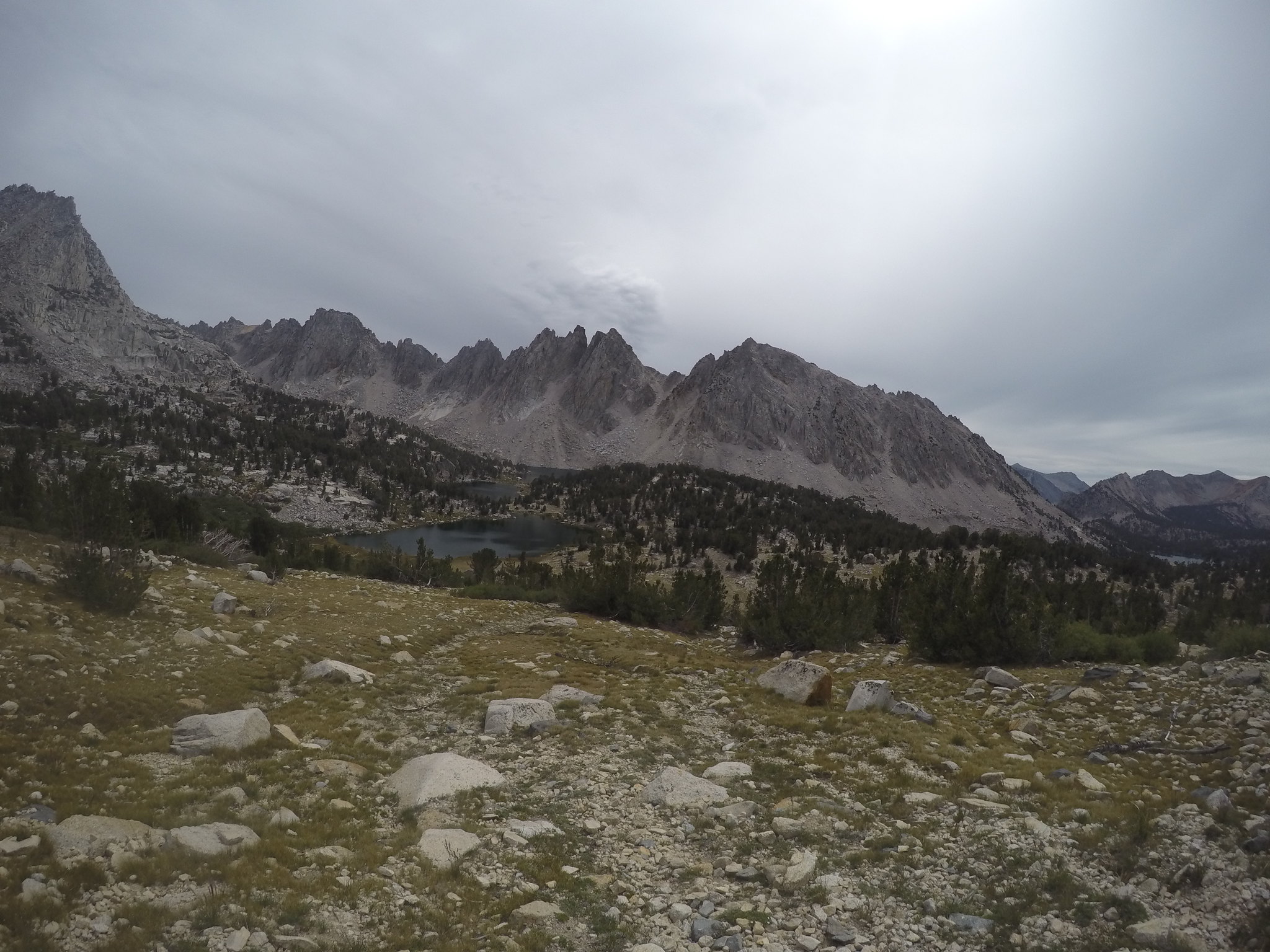
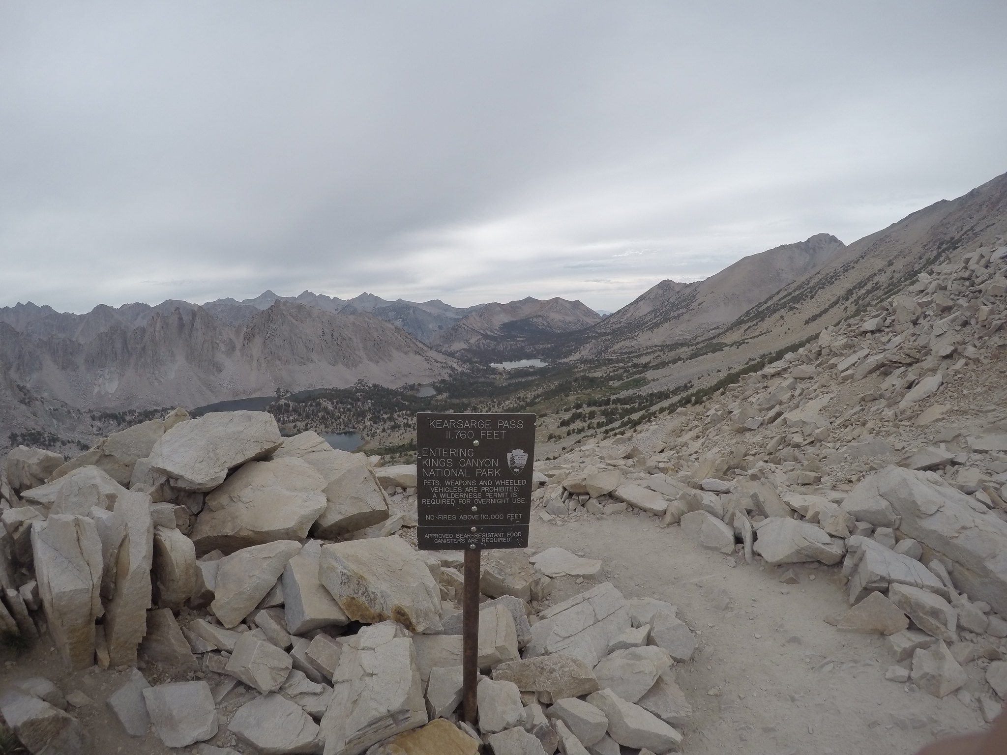
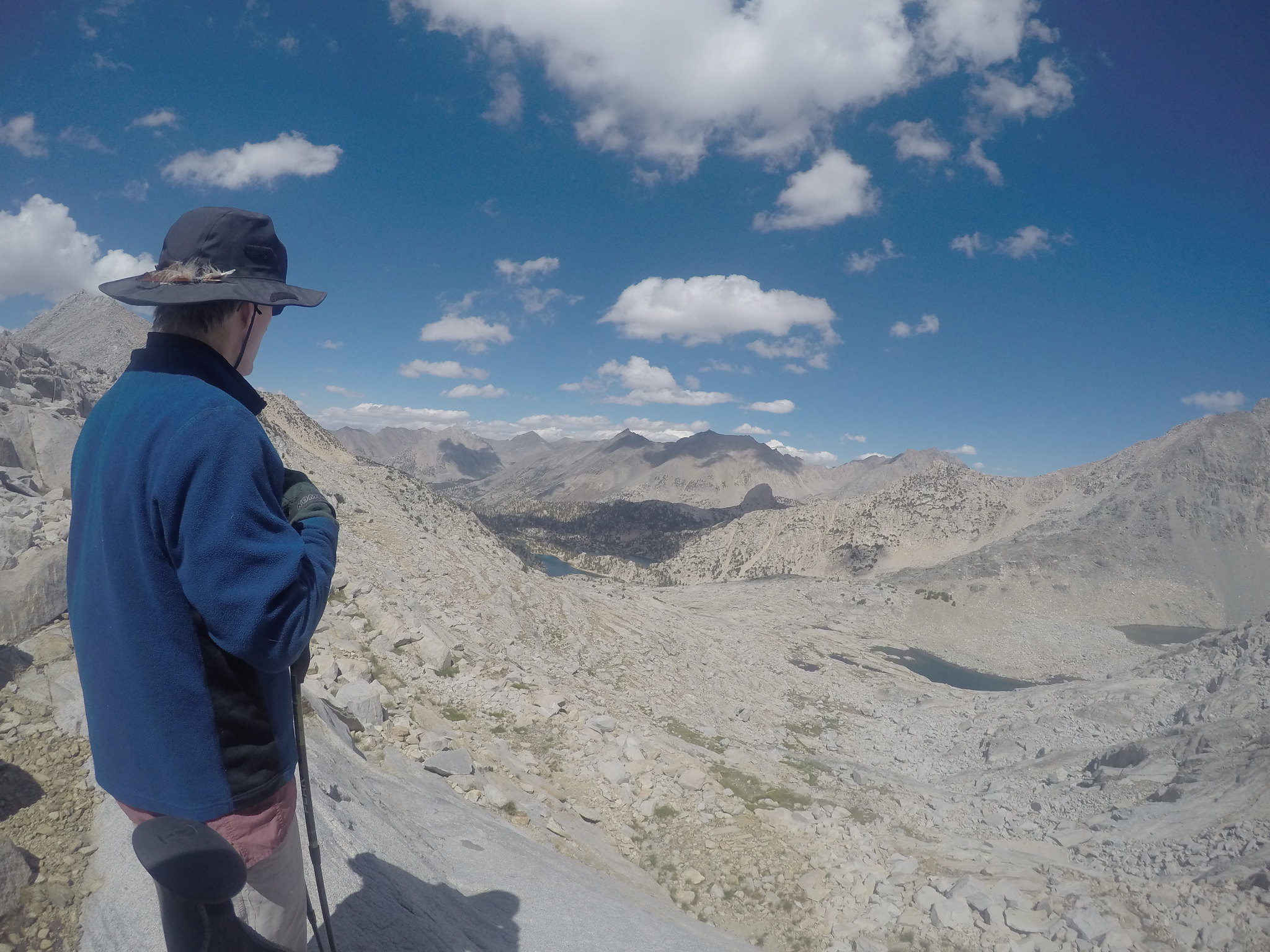
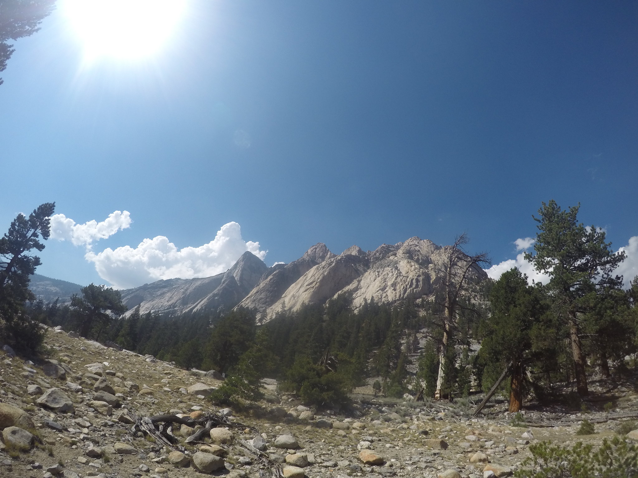
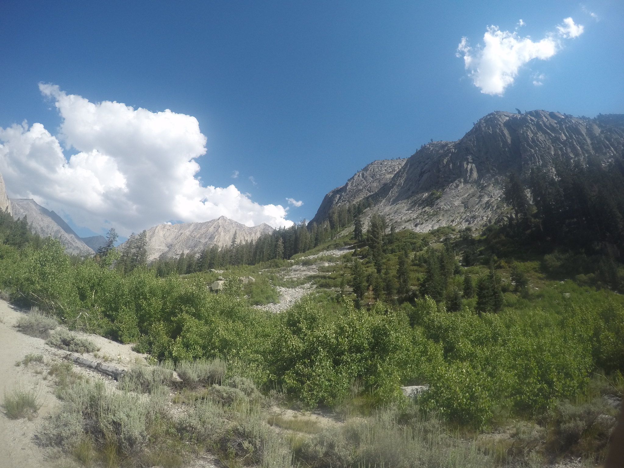
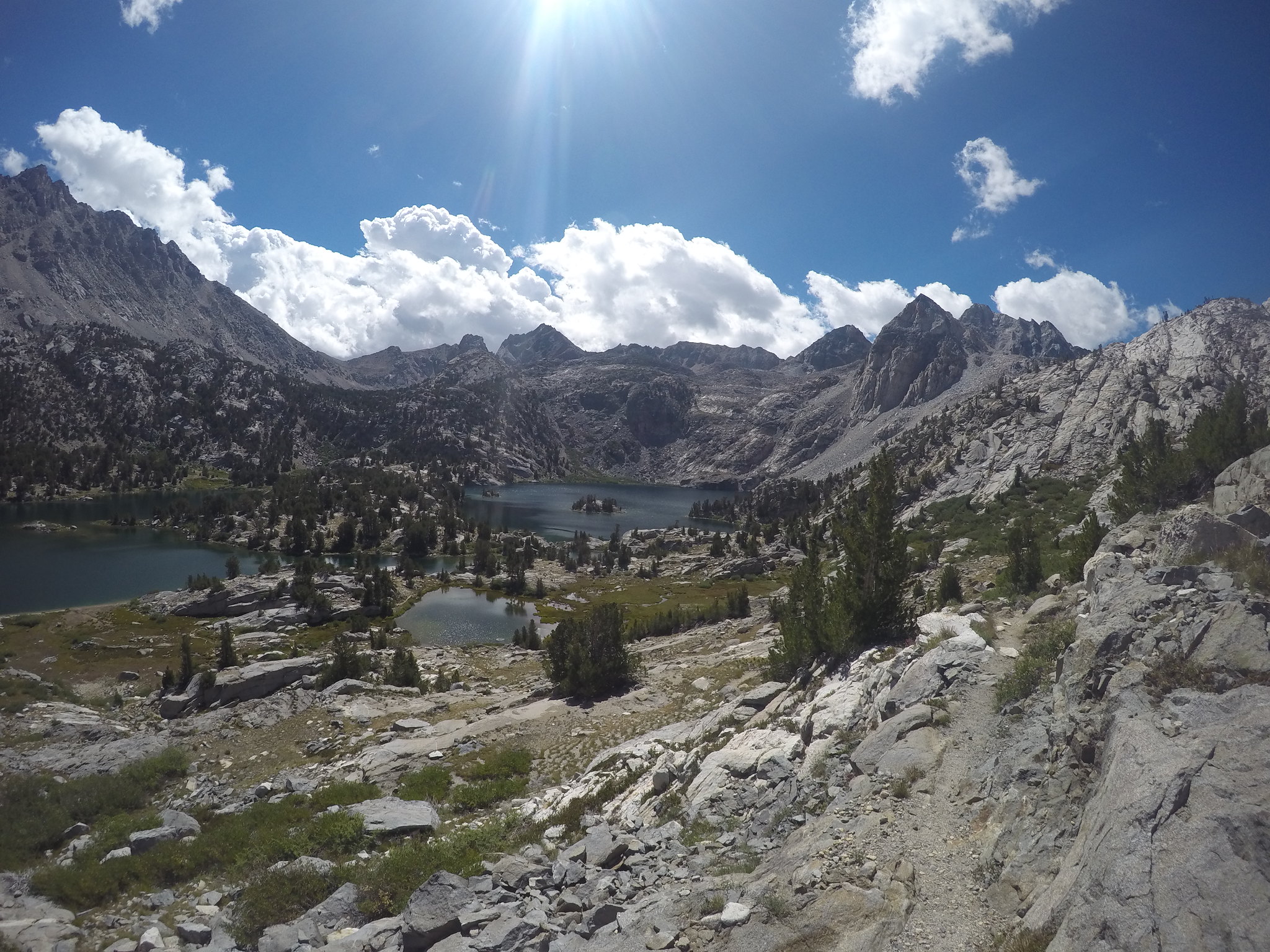
Kearsarge Pinnacles and Lakes
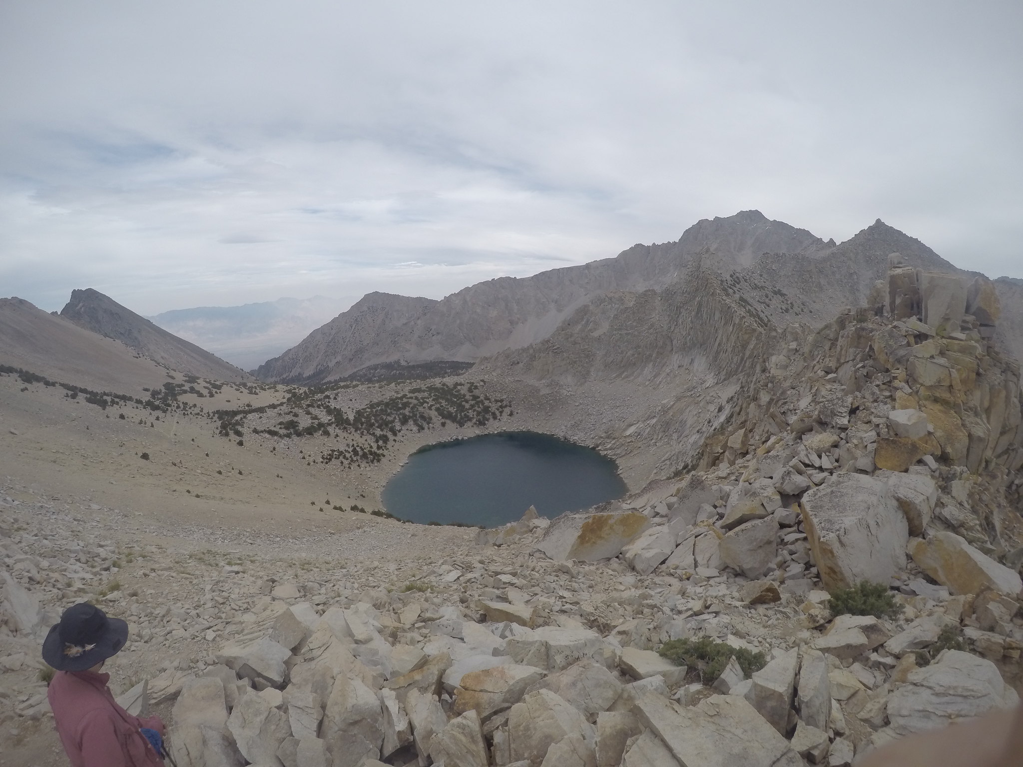
We took a lunch break at the junction before making our first sidetrip to Kearsarge Pass. I was looking forward to the pass more than most other things for a couple reasons: 1. I've never been to a pass before 2. I was looking forward to the idea of either side offering such different views and 3. I wanted to look upon Owen's Valley. Making the trip up the pass was another highlight as the true geography of the valley emerged. Meeting the Kearsarge Pass sign at the top was a relief, but the views made it even better.
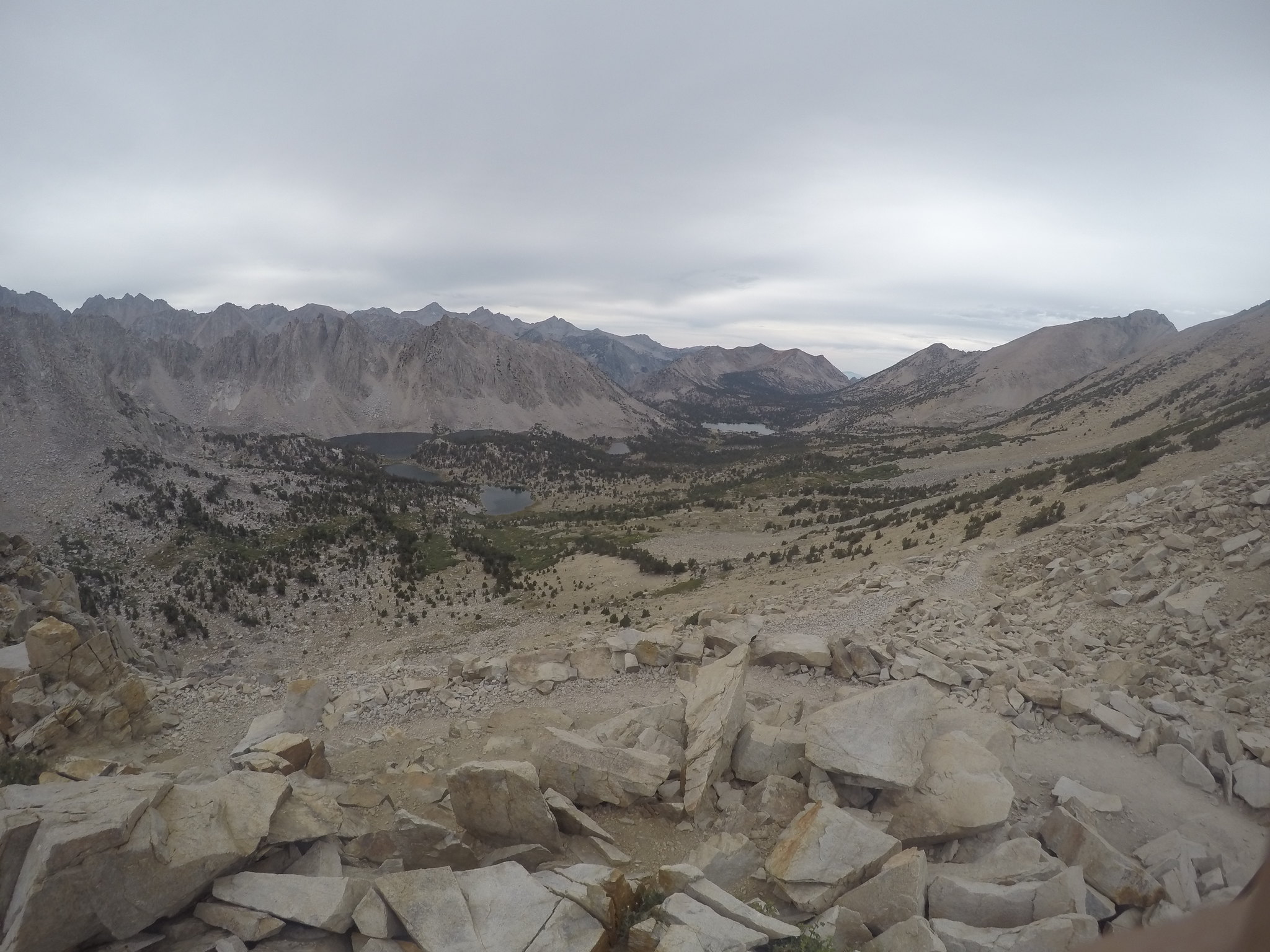
My uncle urged me to keep hiking over the pass, so that I can say I've hiked from one side of the Sierra to the other! The wind at the top forced me to tie my hat down, but it was everything else I had dreamed it to be. We watched a pika gather straw and then headed back below. Back below at the junction we took the high route and looked back down on the valley and the trail we took up.
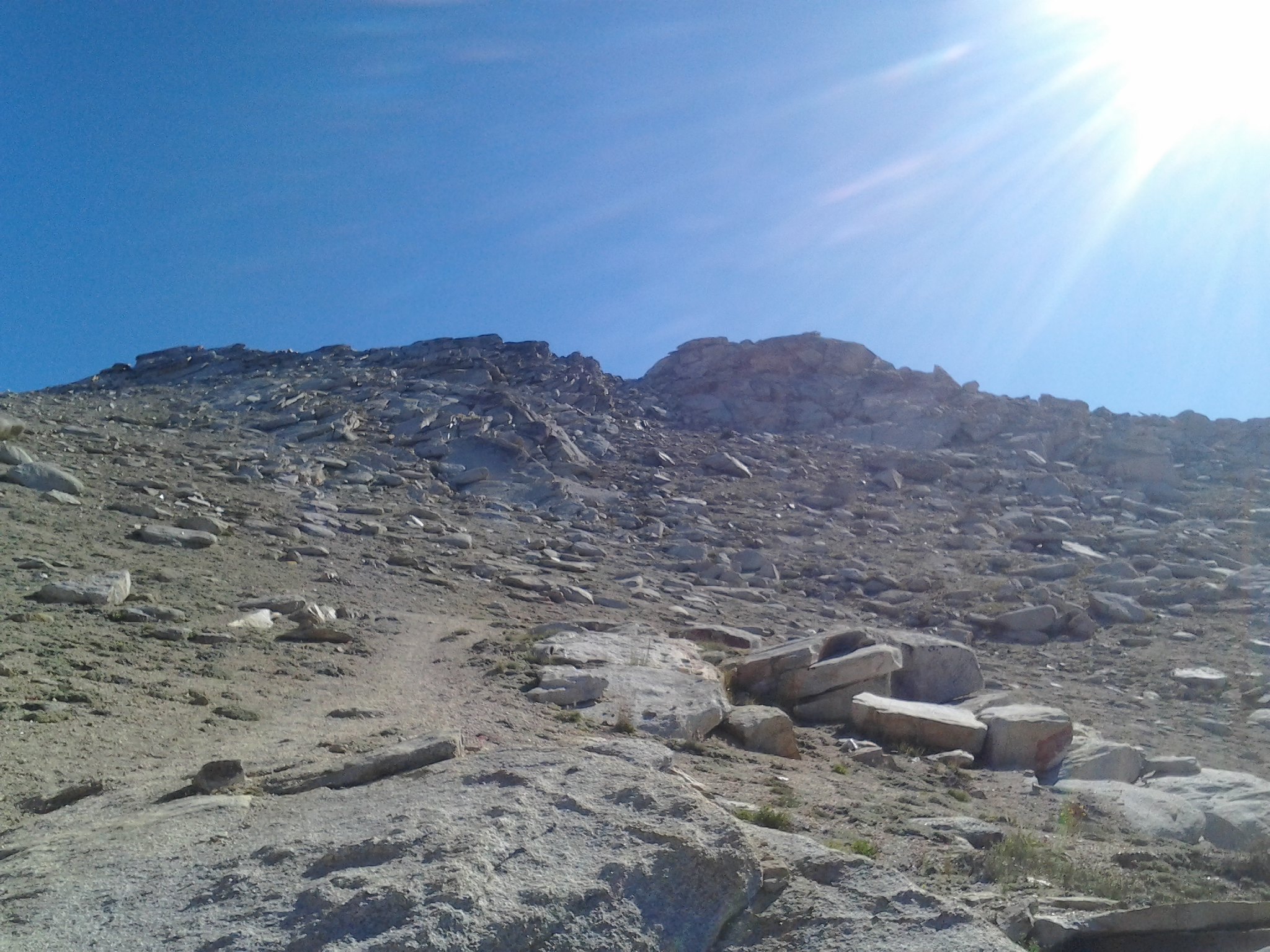
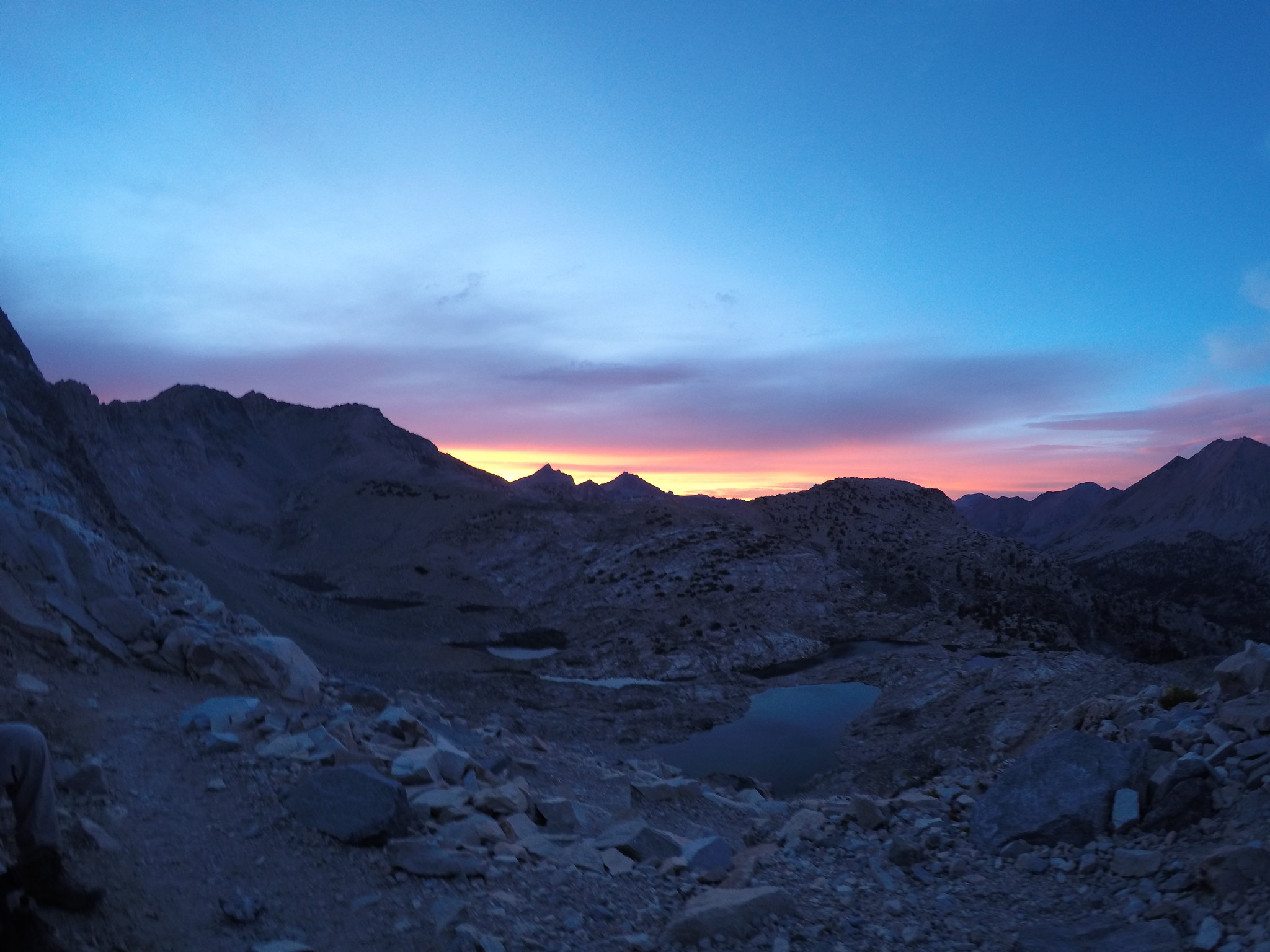
Our little sidetrip took a little longer than expected and we made it back to the junction at 6:30. I suggested we stop at Charlotte lake for the night, but my uncle was now the one to wanted to press on. So at 6:30 we started up Glen, our second pass of the day. This was in contention with the climb out of Vidette as the hardest part so far. It was frustrating that we couldn't see the pass until we were on top of it, at which point I was having to stop every 50 left steps. But we did end up making it to the top and just in time for the sunset and alpineglow. It was a truly magical time.
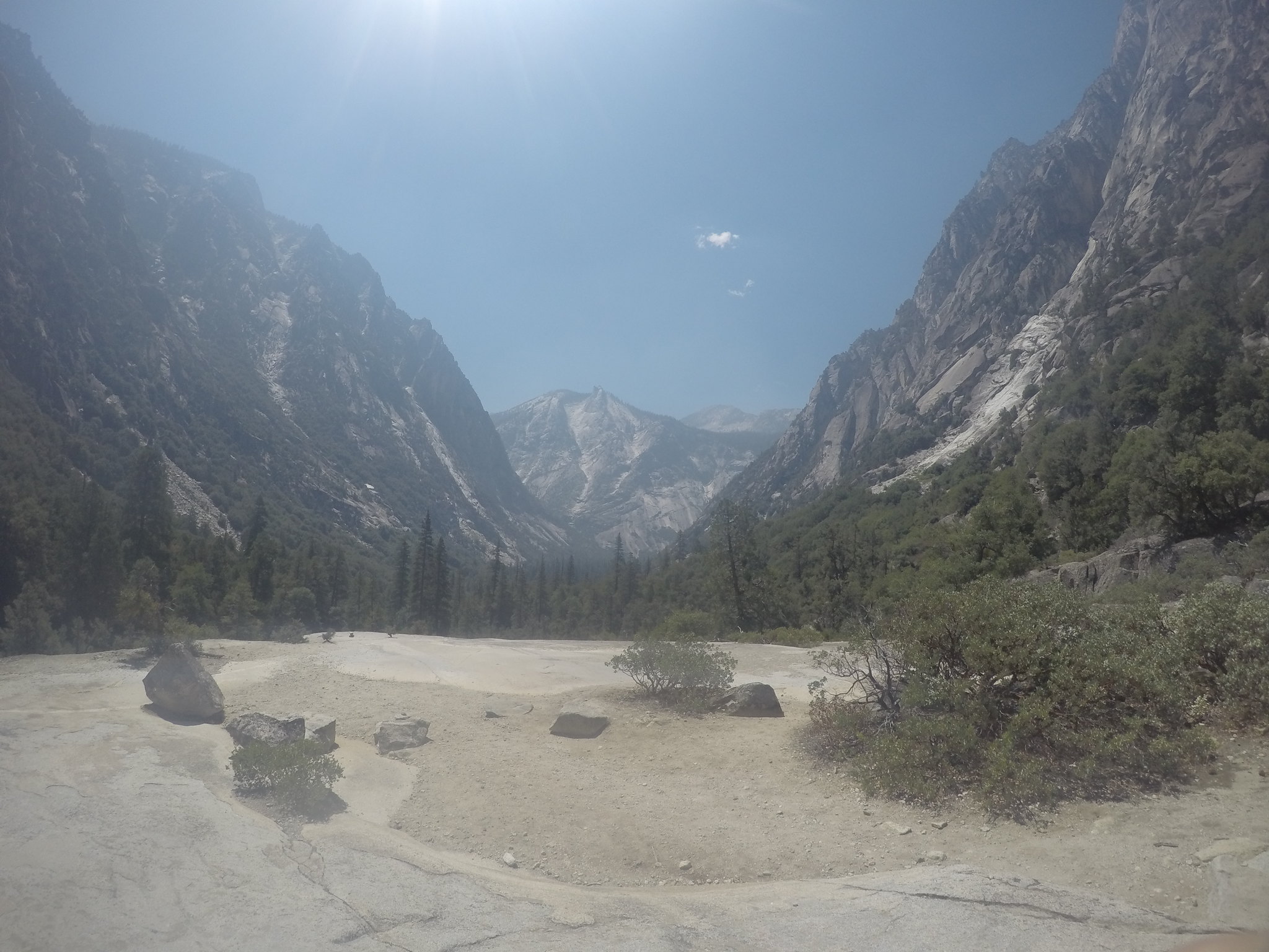
Now we just had two miles and 1300 ft to drop. The headlights came on and we began the long drop down to Rae Lakes. After what seemed like another three hours we finally saw a junction sign denoting our arrival at the lakes at a timely 9:30. At this point we grabbed the closest spot we could find and got dinner ready. No tent that night, we were too tired -I mean- we wanted to sleep under the stars.
Day 3: Thursday-Layover
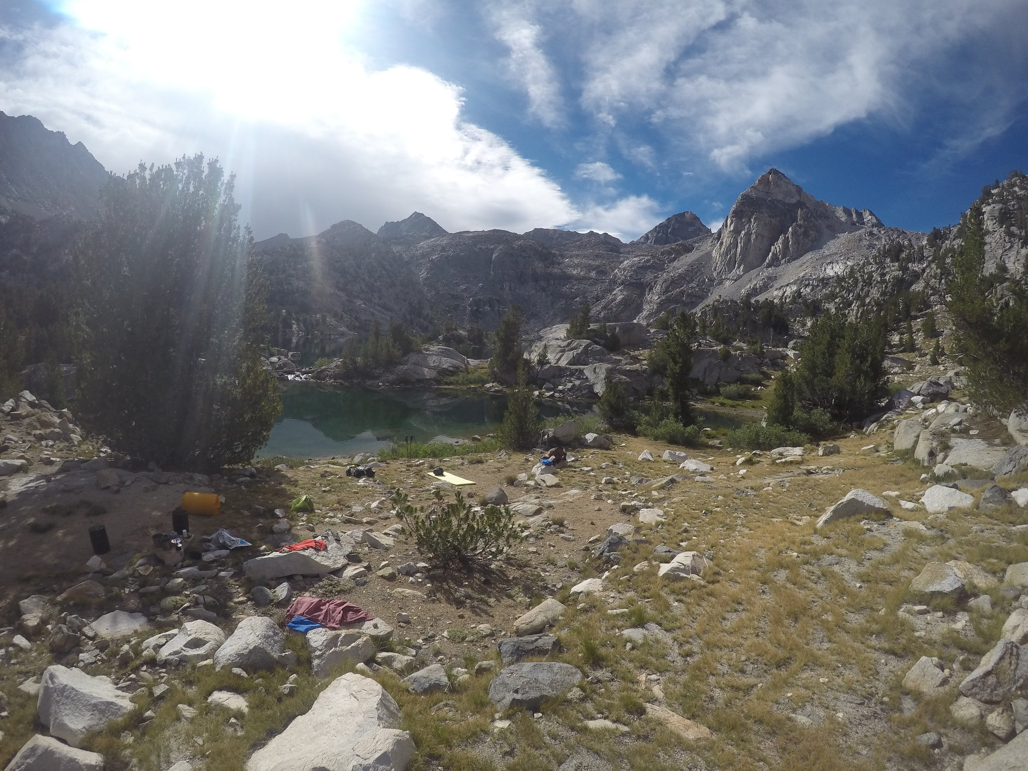
The next morning we decided would be our layover day, so we waited for everyone to clear out and then snagged a spot on the opposite side of the lake.
We met a family group of maybe a dozen and struck up a conversation. They were also going counter-clockwise, and came over Glen after us the night before. The most amazing part was that there were at least 6 kids under ten with them. They must have been troopers! We 'fished' a little bit (though it was more like catching) and got to know our neighbors a little better. They were fishing with orange bobbers and cheerios, so we lent them a fly and bubble. The kids, who had never been fishing before, soon found themselves with more fish than they knew what to do with. They filled their bearvault with water and we soon had our own little backcountry aquarium. It was a great chance to introduce these kids to nature, and allow them to interact with it in a responsible way; the fish dinner was great too. The rest of the day was spent recuperating from the previous day and just soaking up the views.
Day 4: Friday-60 Lakes Basin/Gardiner Overlook
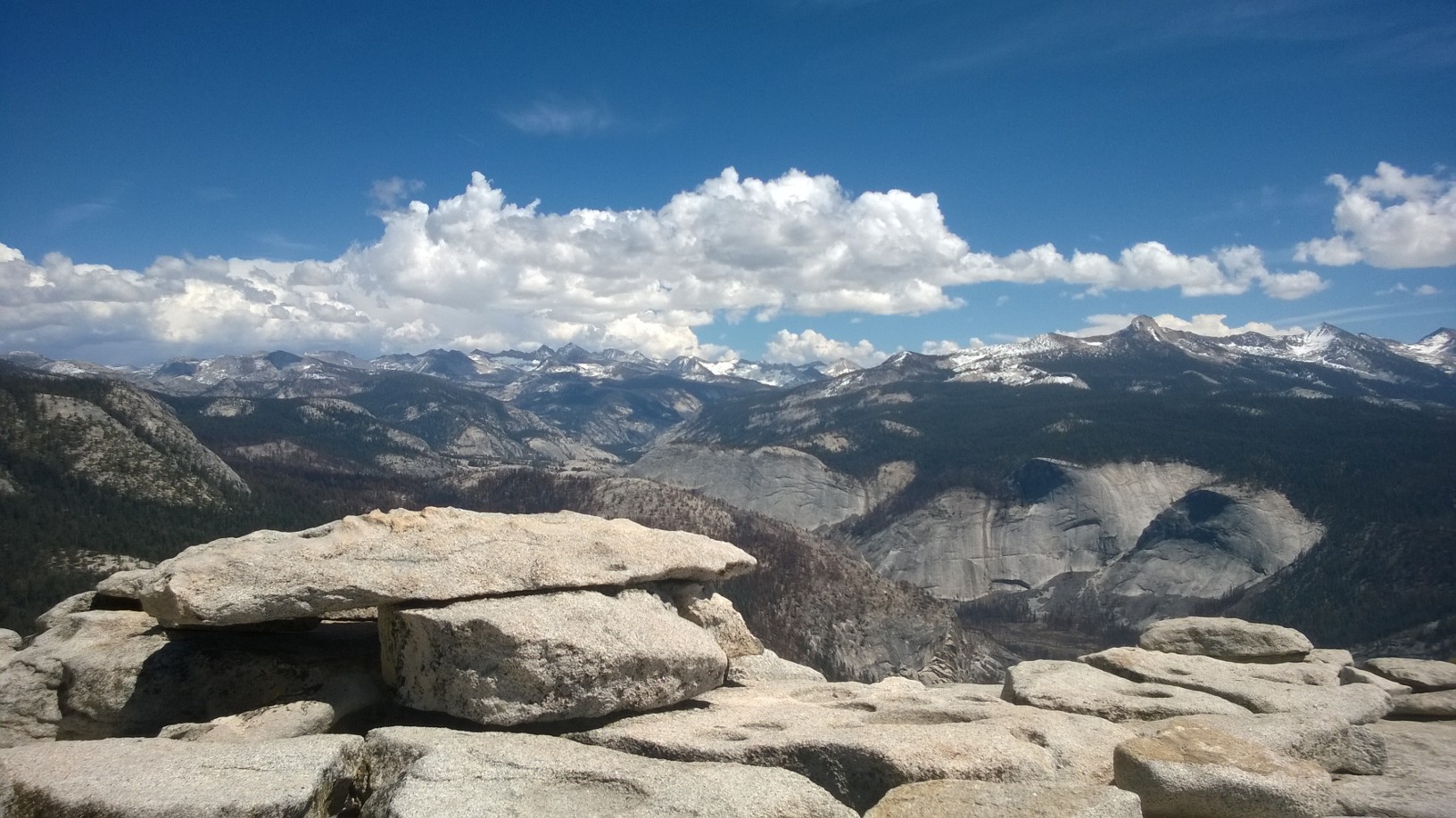
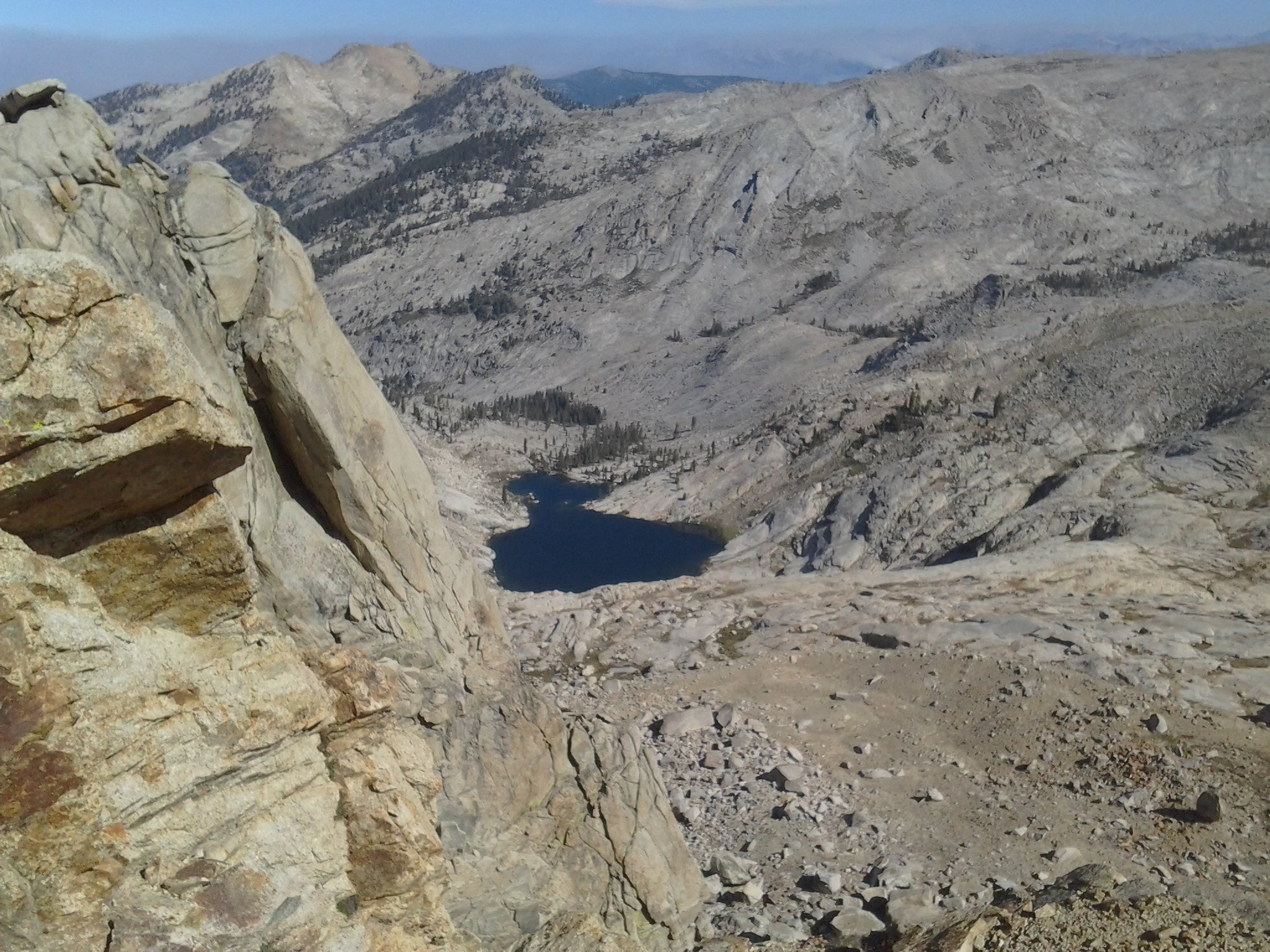
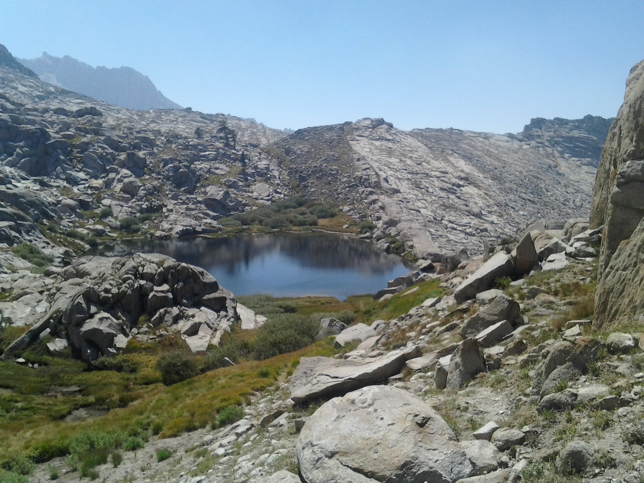
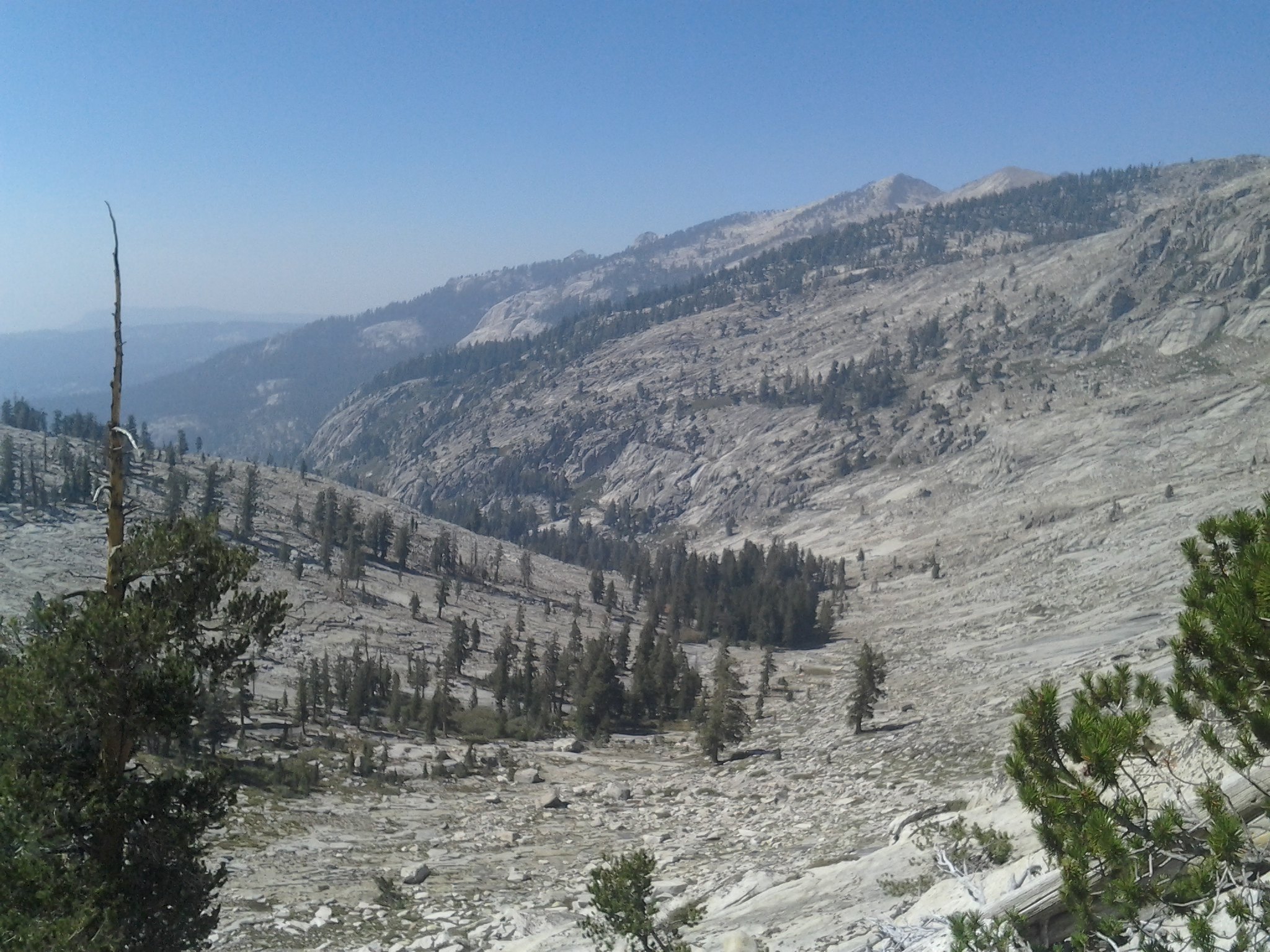
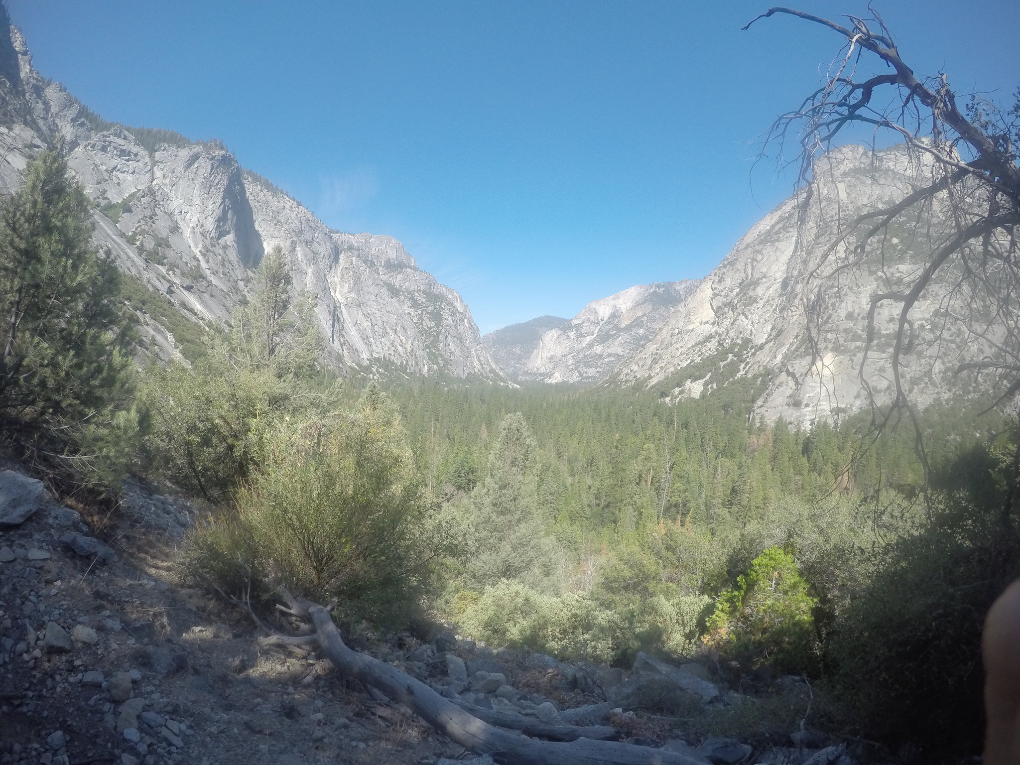
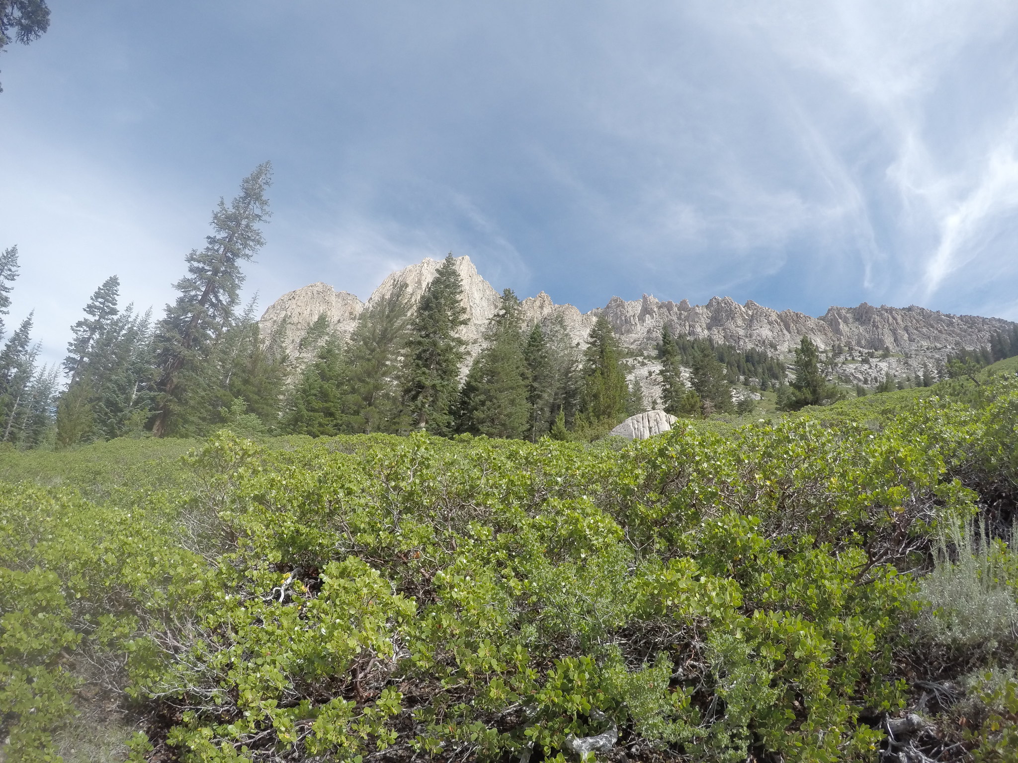
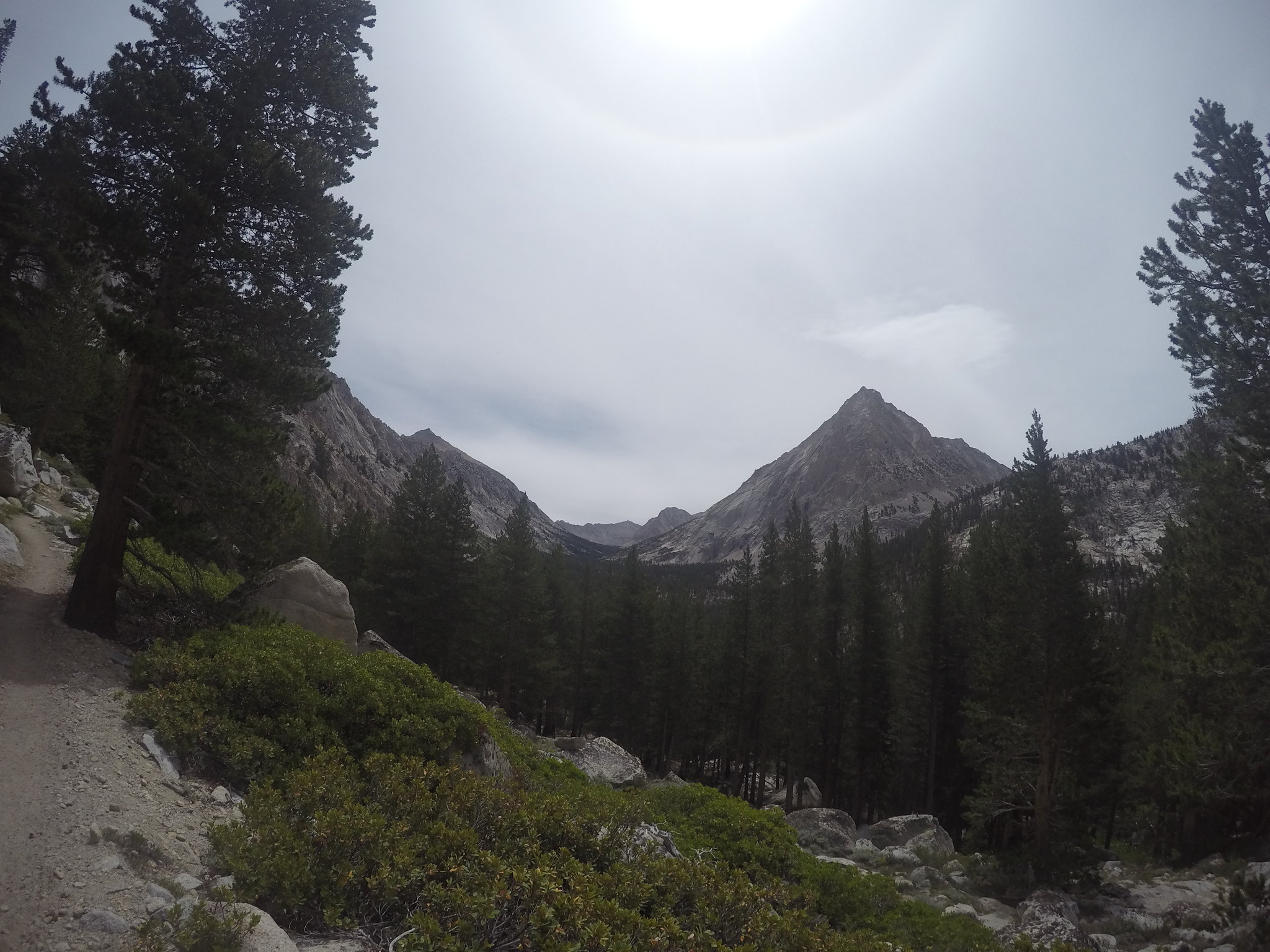
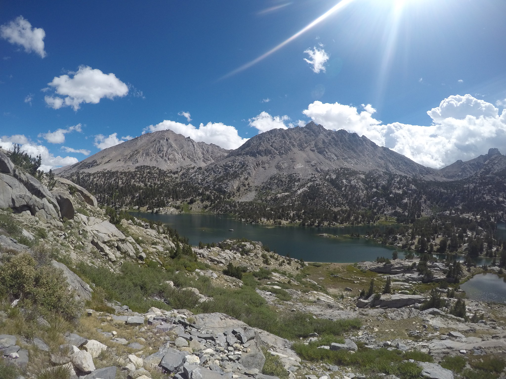
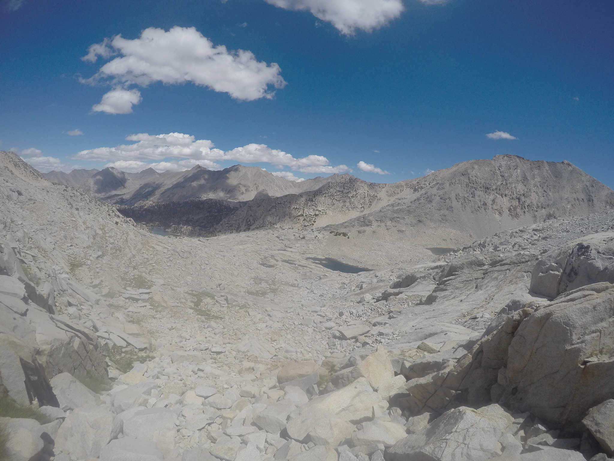
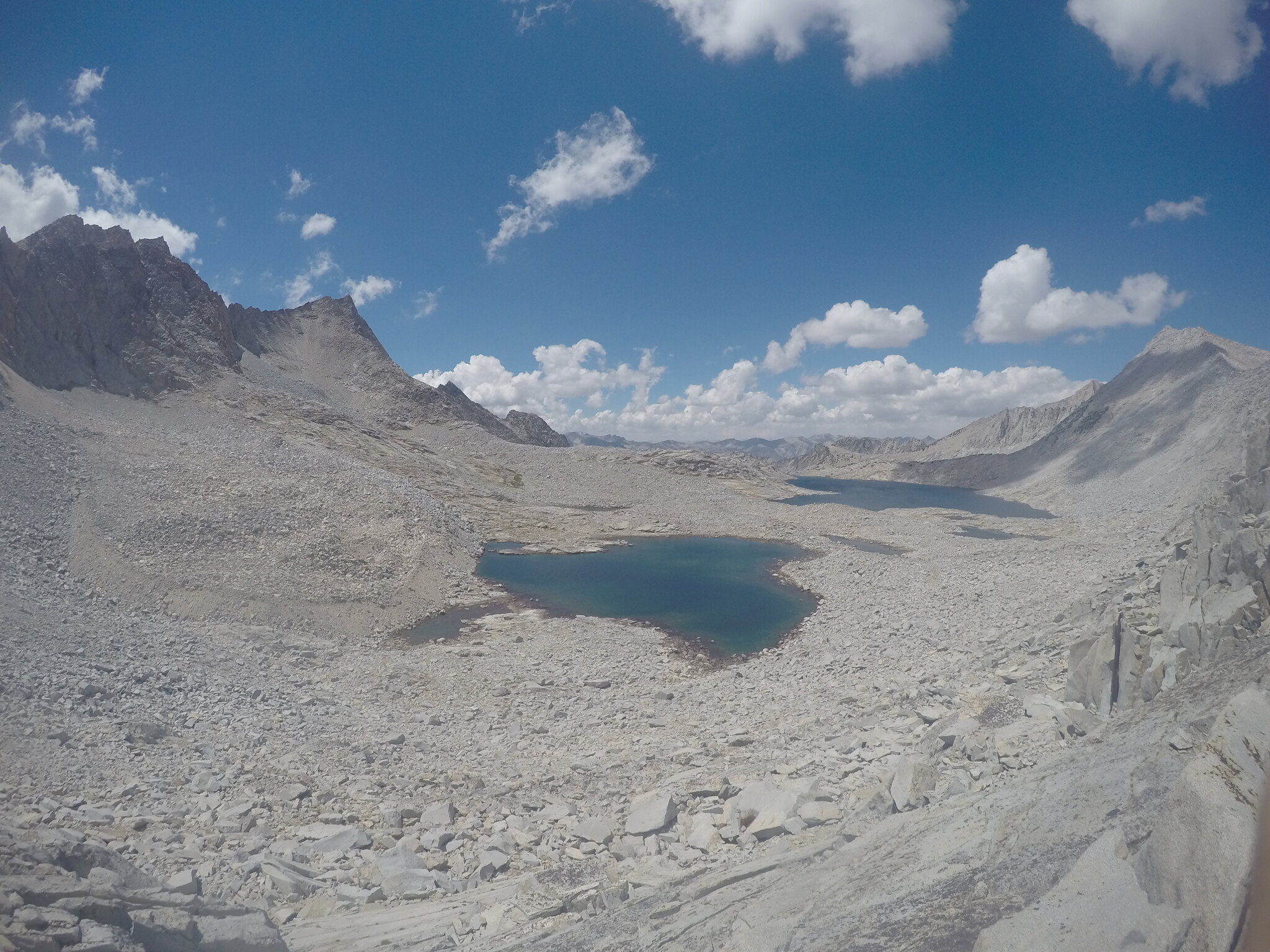
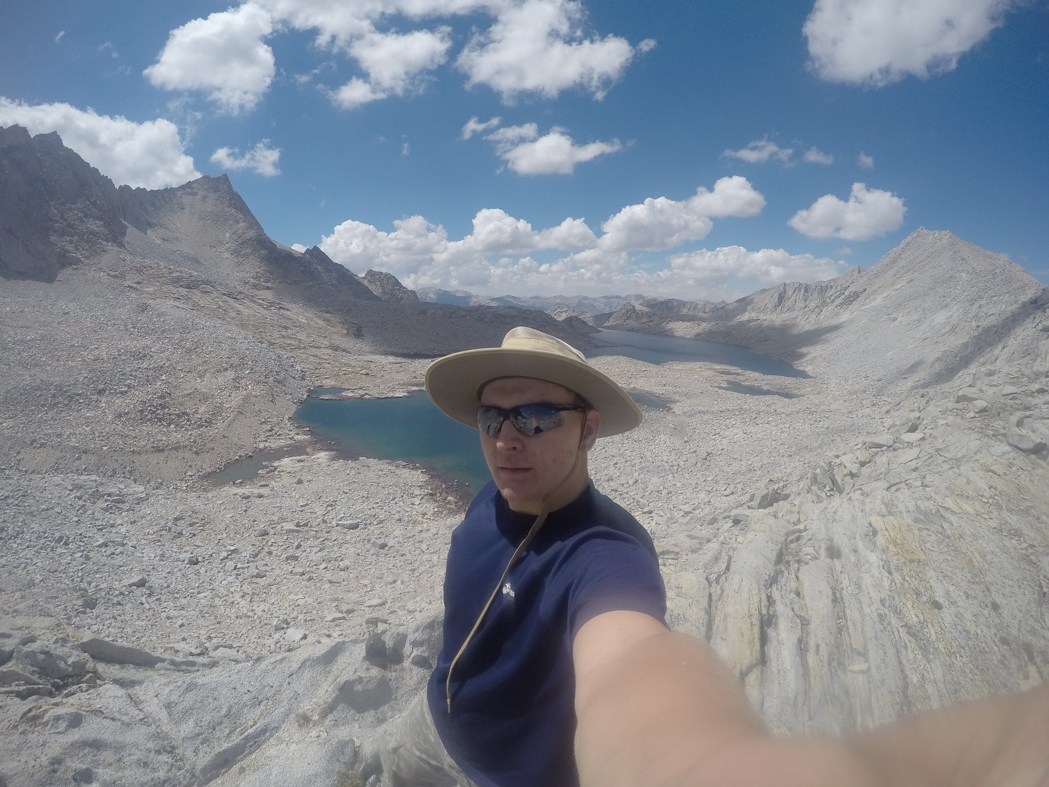
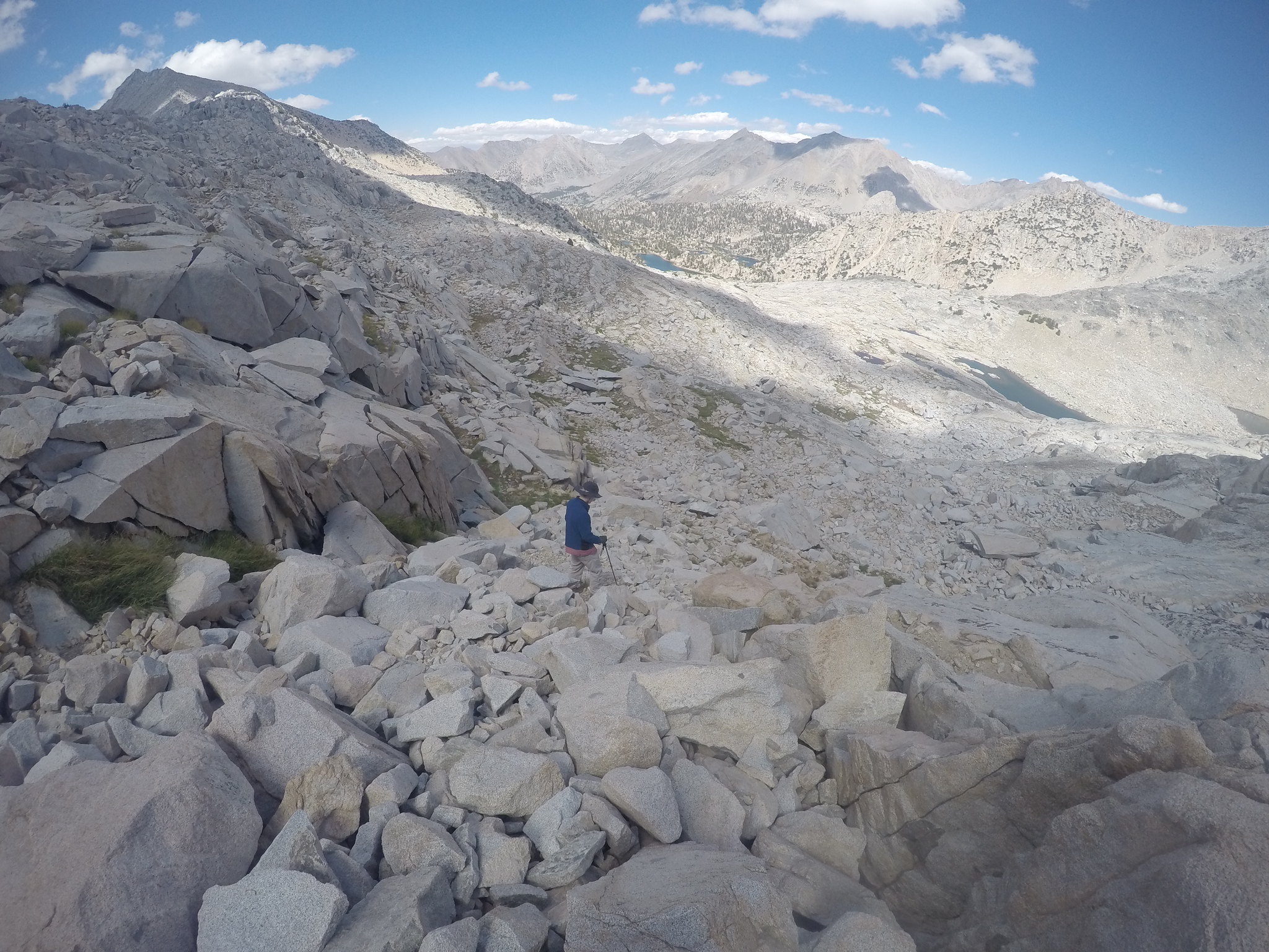
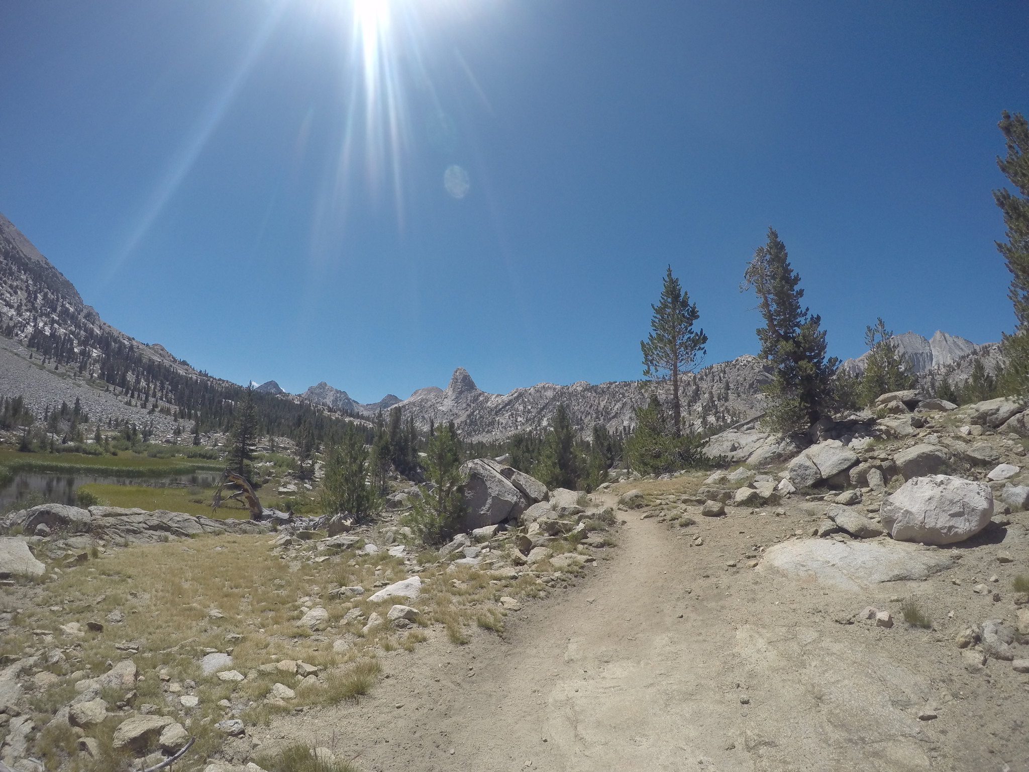
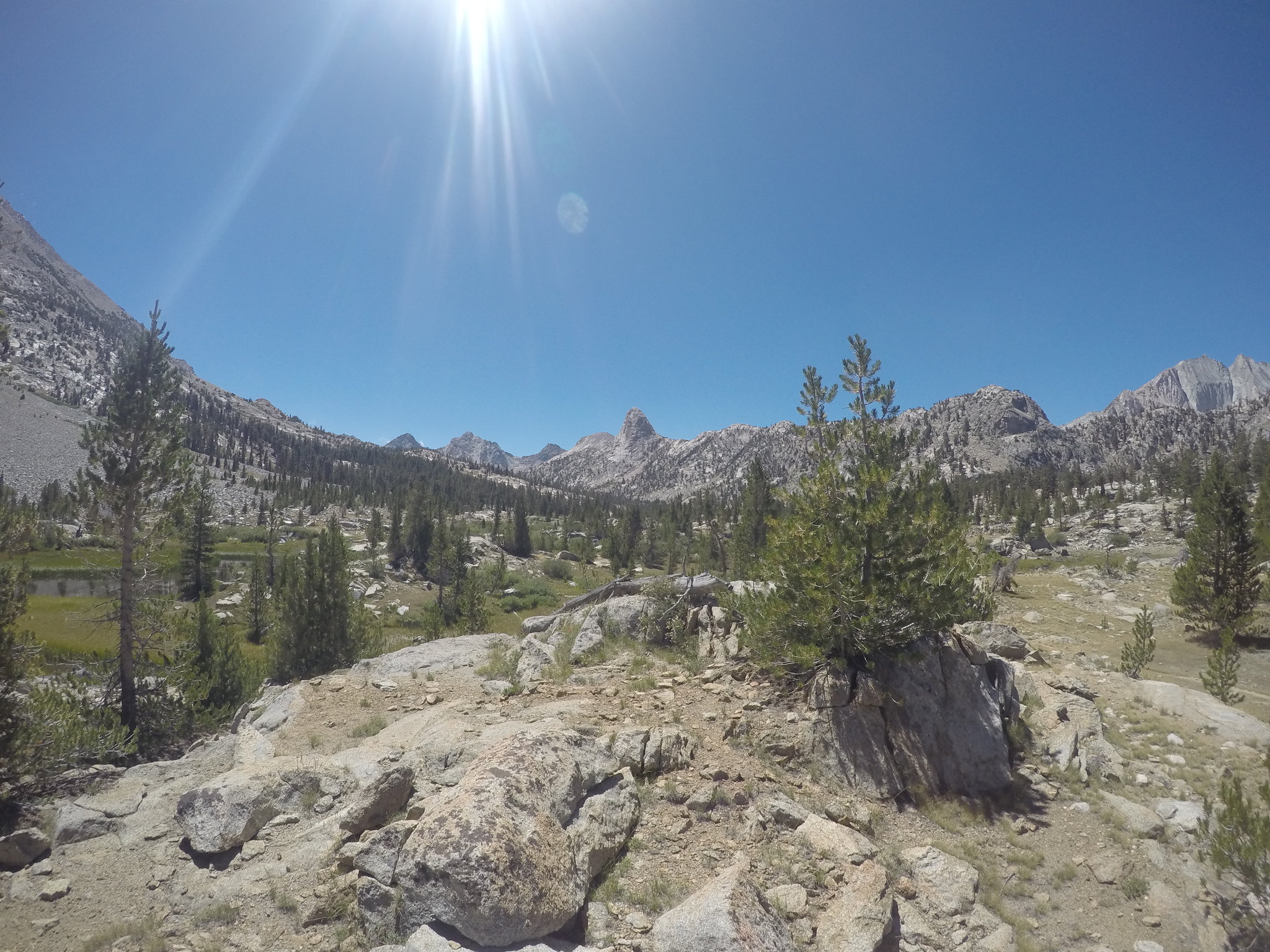
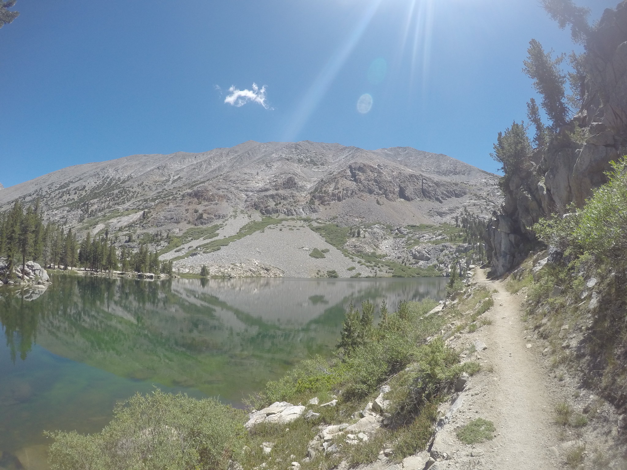
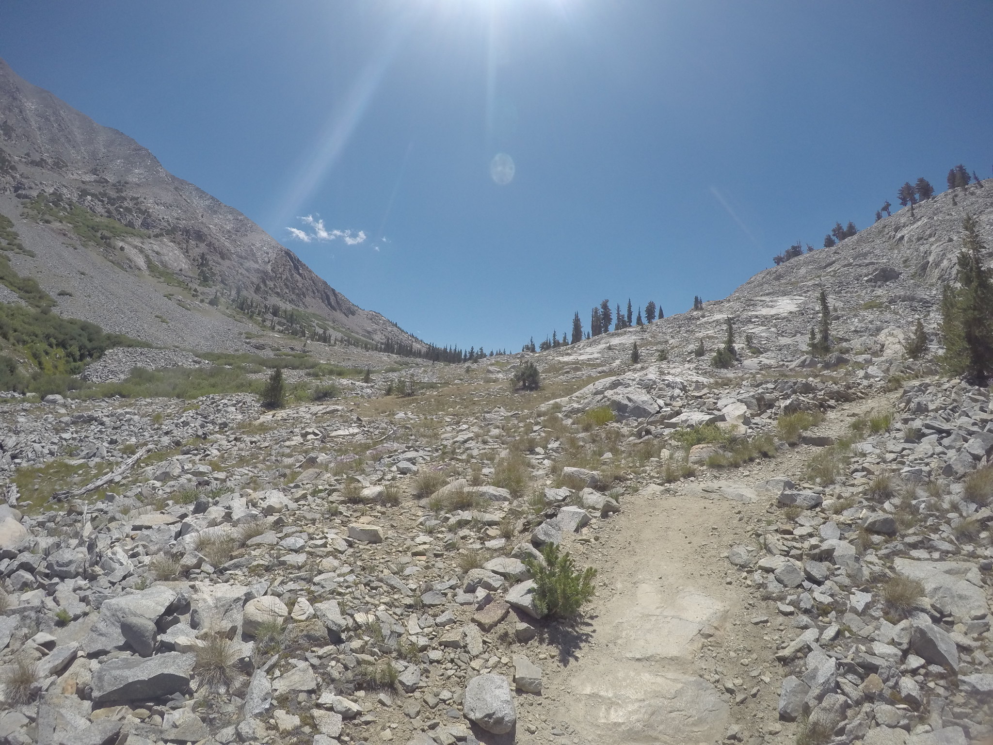
Day four was a dayhike up to 60 lakes basin and cross country up to Gardiner Basin. Another late start had us leaving at 11:00, heading up the trail past Fin dome. It was cool to see Fin dome from so many angles throughout the day. A side note, does anyone know if it's an actual Sierra dome, or just a rock formation? Dropping into 60 lakes was cool, but I wouldn't say it was a highlight, the following activity was. After hiking around the west side of lake 10846 we headed up on the west side of the drainage up to the pass.
It took a lot of micronavigation to avoid the cliffs and talus fields, but eventually it just became a straight push to the top. Looking over my third pass of the trip was no less spectacular than the first two.
Peering down on the desolate granitescape of Gardiner basin solidified my desire to start exploring the high basins and valleys of the Sierra. The howling wind and cold temps did not deter me from taking tons of pictures and the obligatory teenage selfies, but it didn't prolong our time up there.
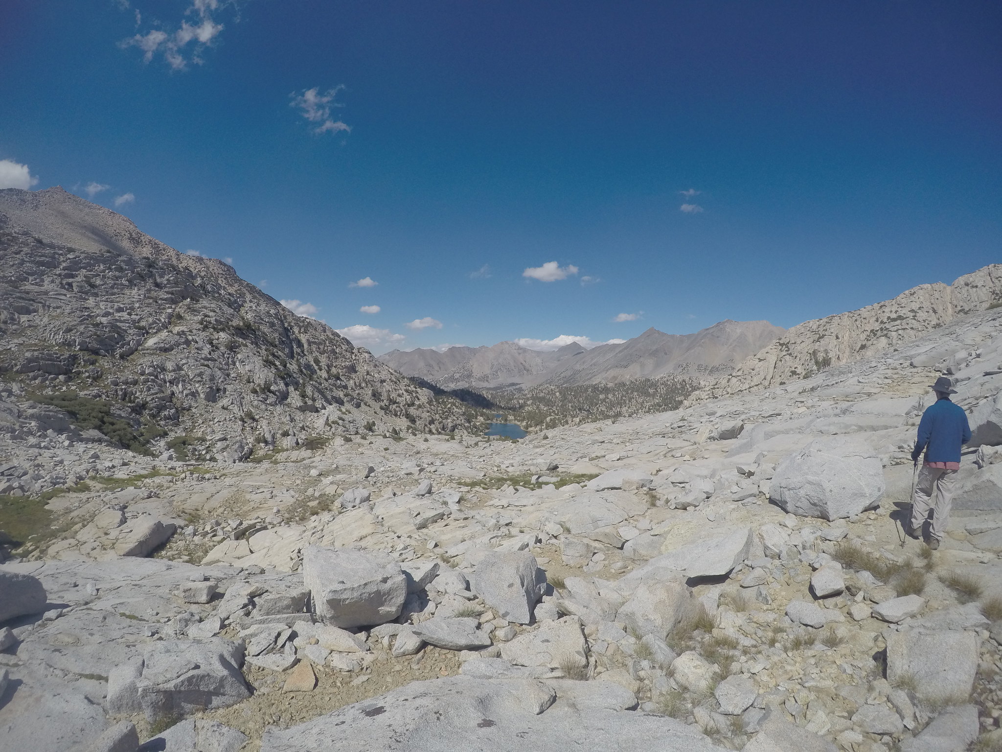
Turning back down and looking down 60 lakes offered what I think were the best views, the grand design of glacier cut valleys.
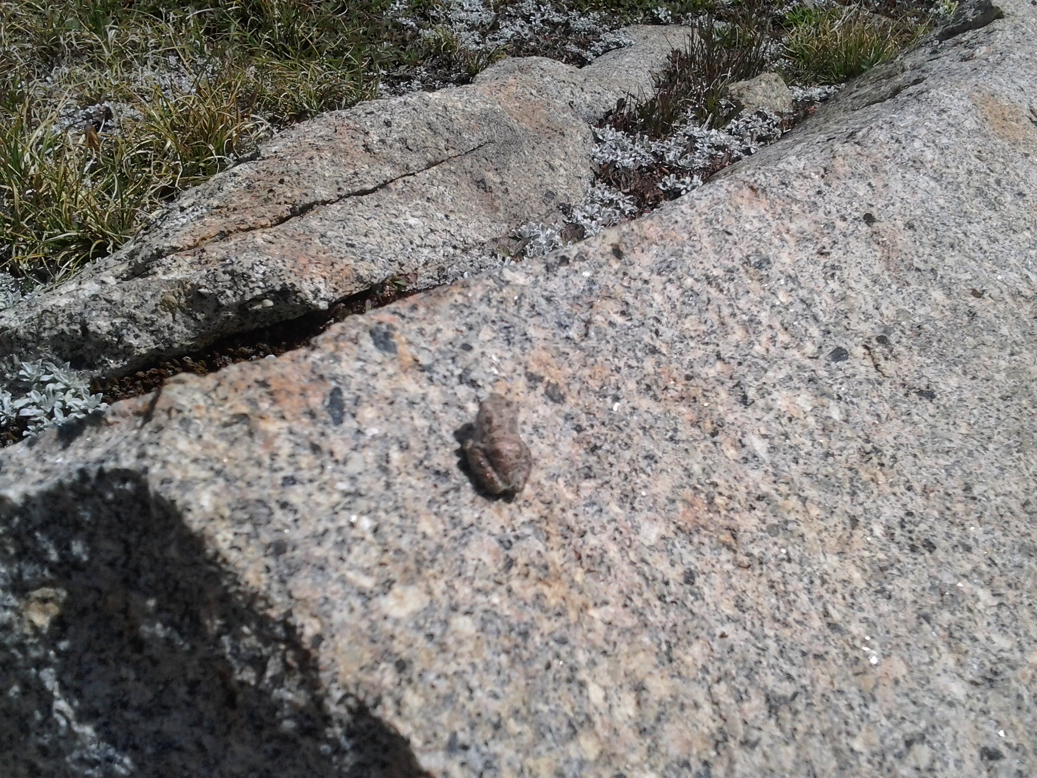
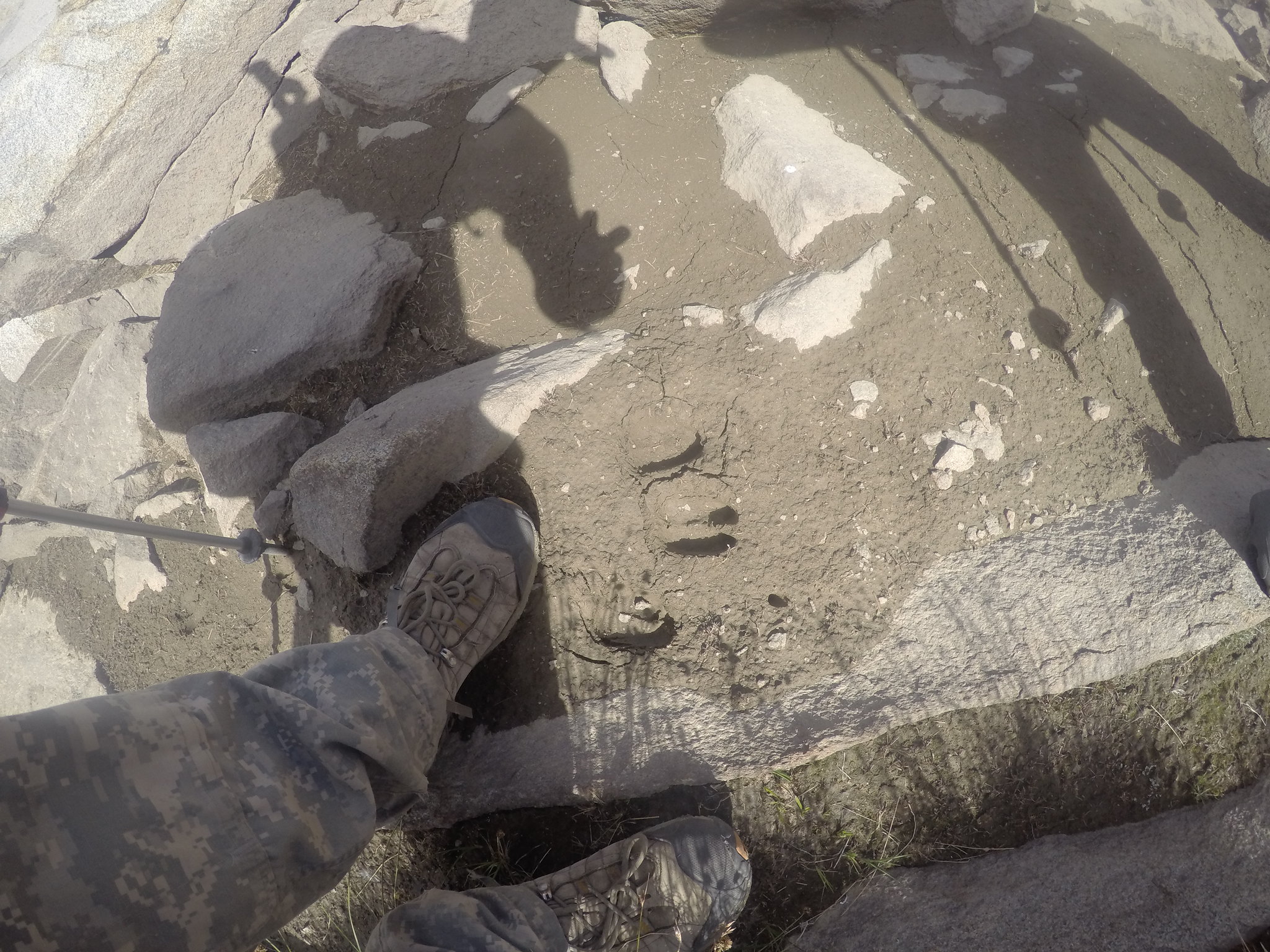
Coming down we stayed on the east side of the creek and found a much better route using friction slabs and granite shelves instead of talus and rock-hopping. Next to one of the tarns we saw what looked like bighorn sheep tracks. The next day we met a ranger who said that there was a herd in the area called the Bubb's herd. We didn't see any, but they were probably watching us the whole time.
We did see one other hiker going up towards lake 11276 and planning on climbing the pass to Charlotte Lake. We gave him some route advice and sent him on his way. The hike back was pretty uneventful and we got back to camp around 7. Dinner and a sunset completed day four.
Day 5: Saturday-Rae Lakes to Upper Paradise
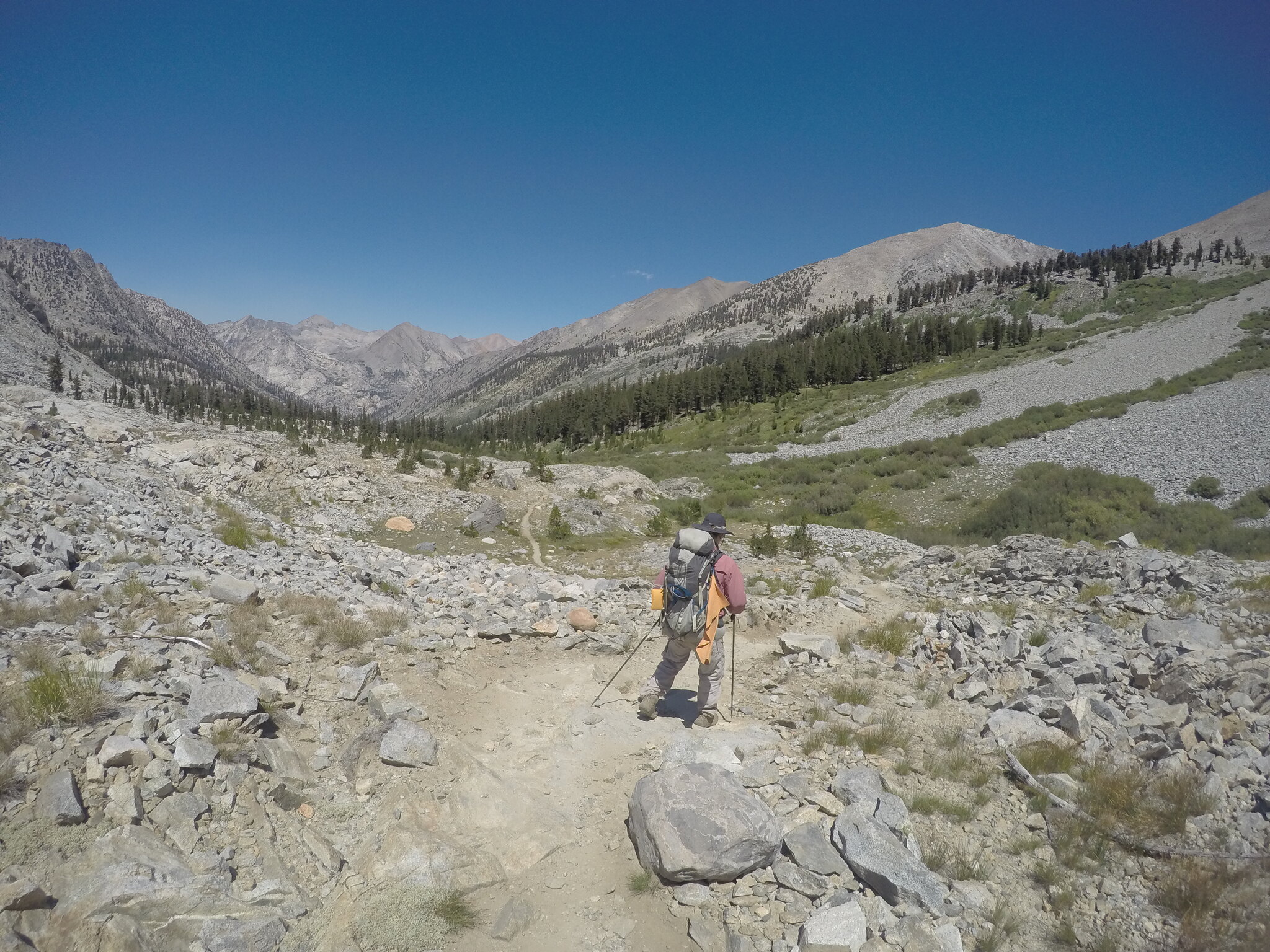
Well, it was finally time to start the journey back to civilization, away from the isolation provided by the Rae Lakes loop.

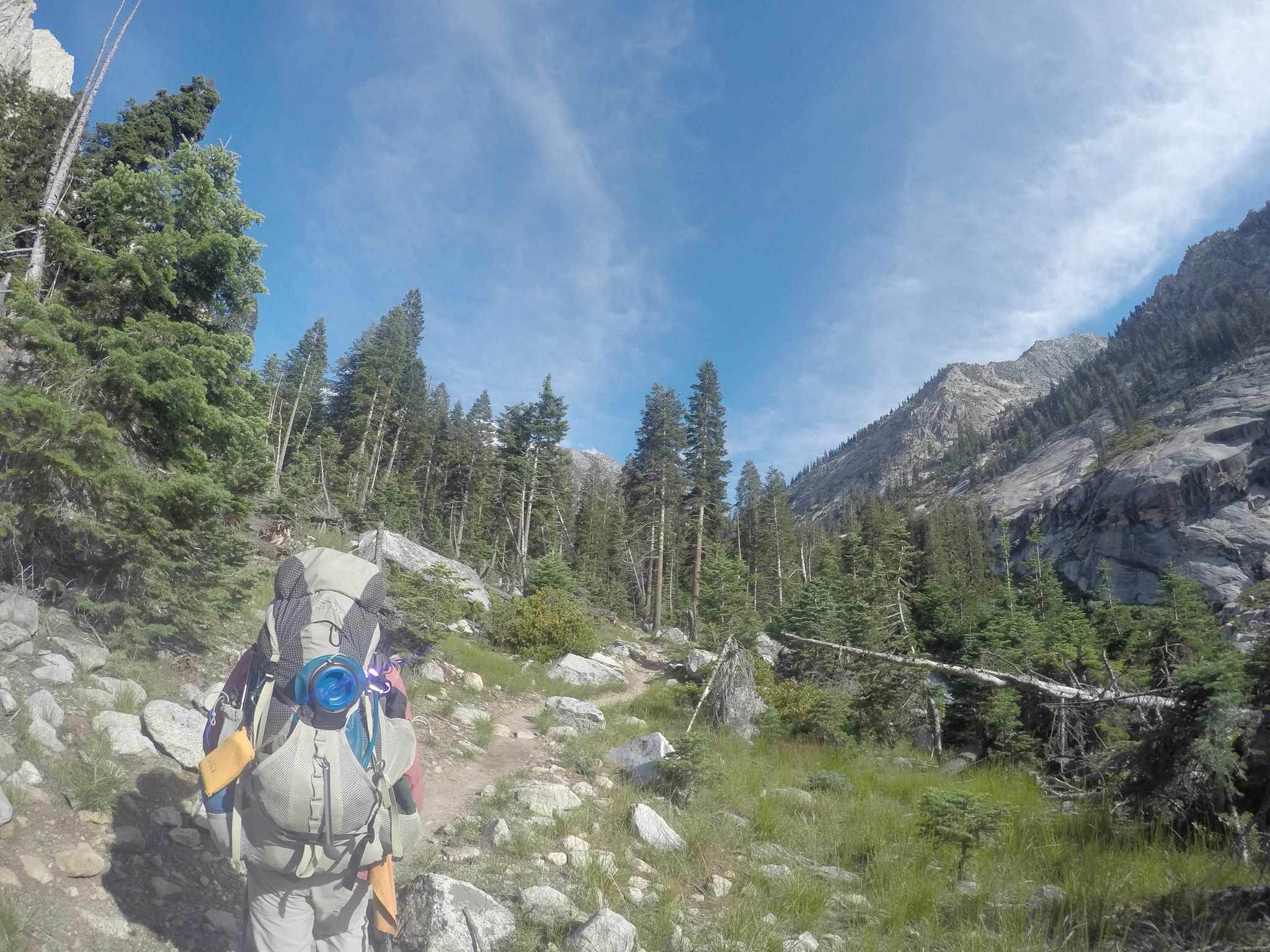
As usual, we took our time packing up and getting ready, but finally we bid farewell to our home for the last couple days. Fin Dome marked our progress as I checked back periodically to finish the circumvention I started the day before.
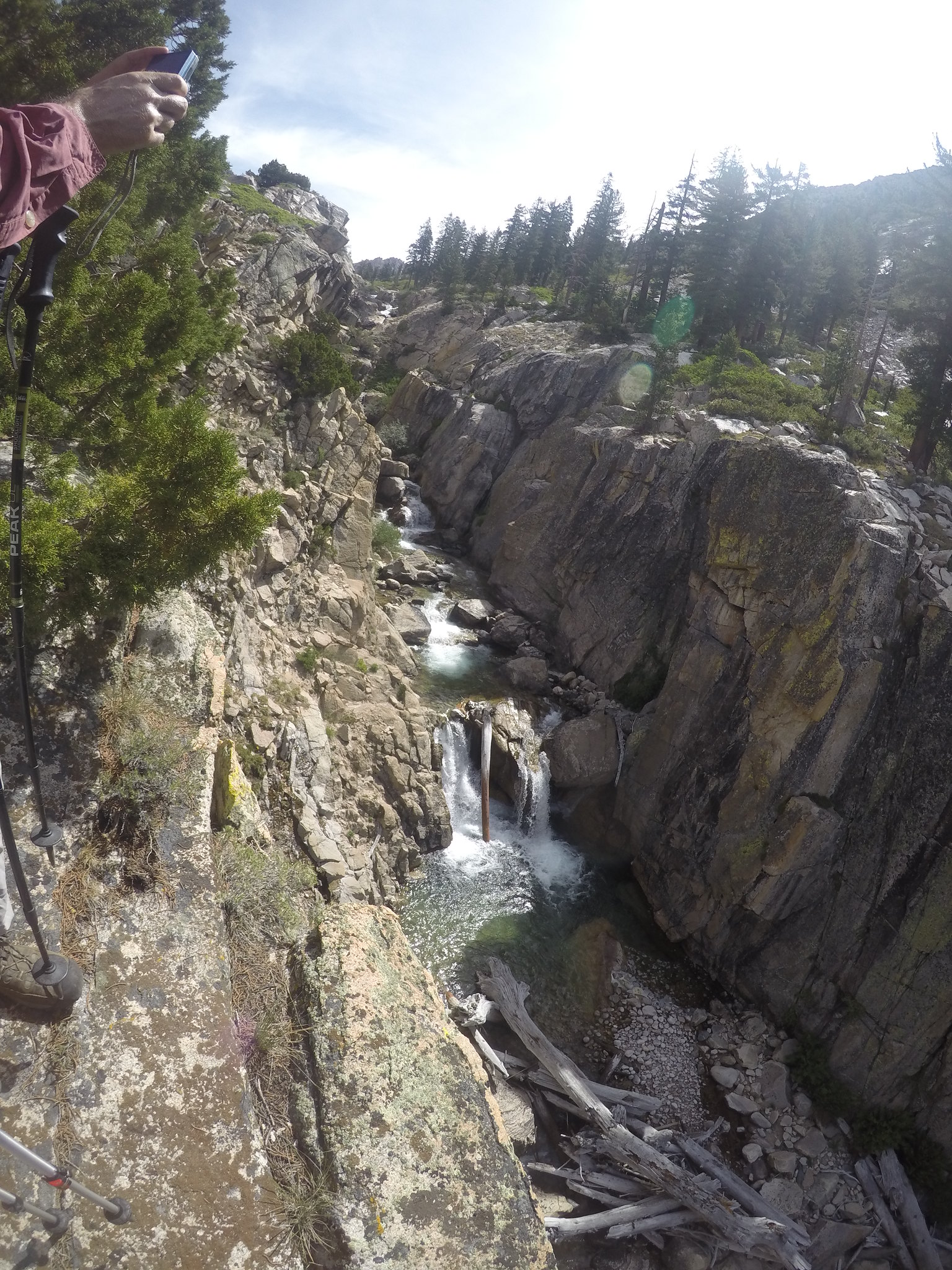
Definitely a major highlight of the trip. I wasn't expecting the beautiful glacier valley we ended up walking through with moraines to either side. The creek babbled along as we made our way down, down, down.
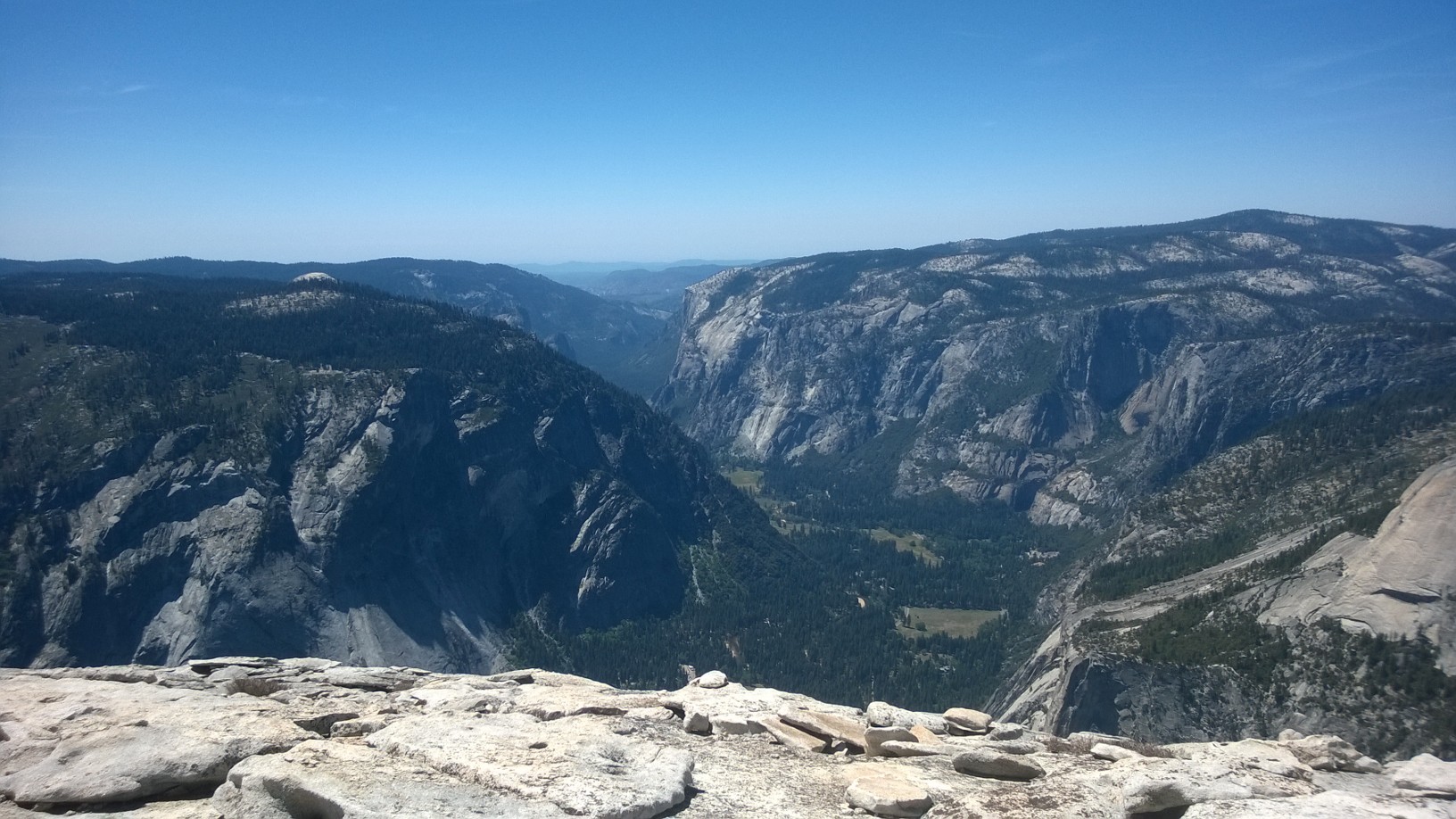
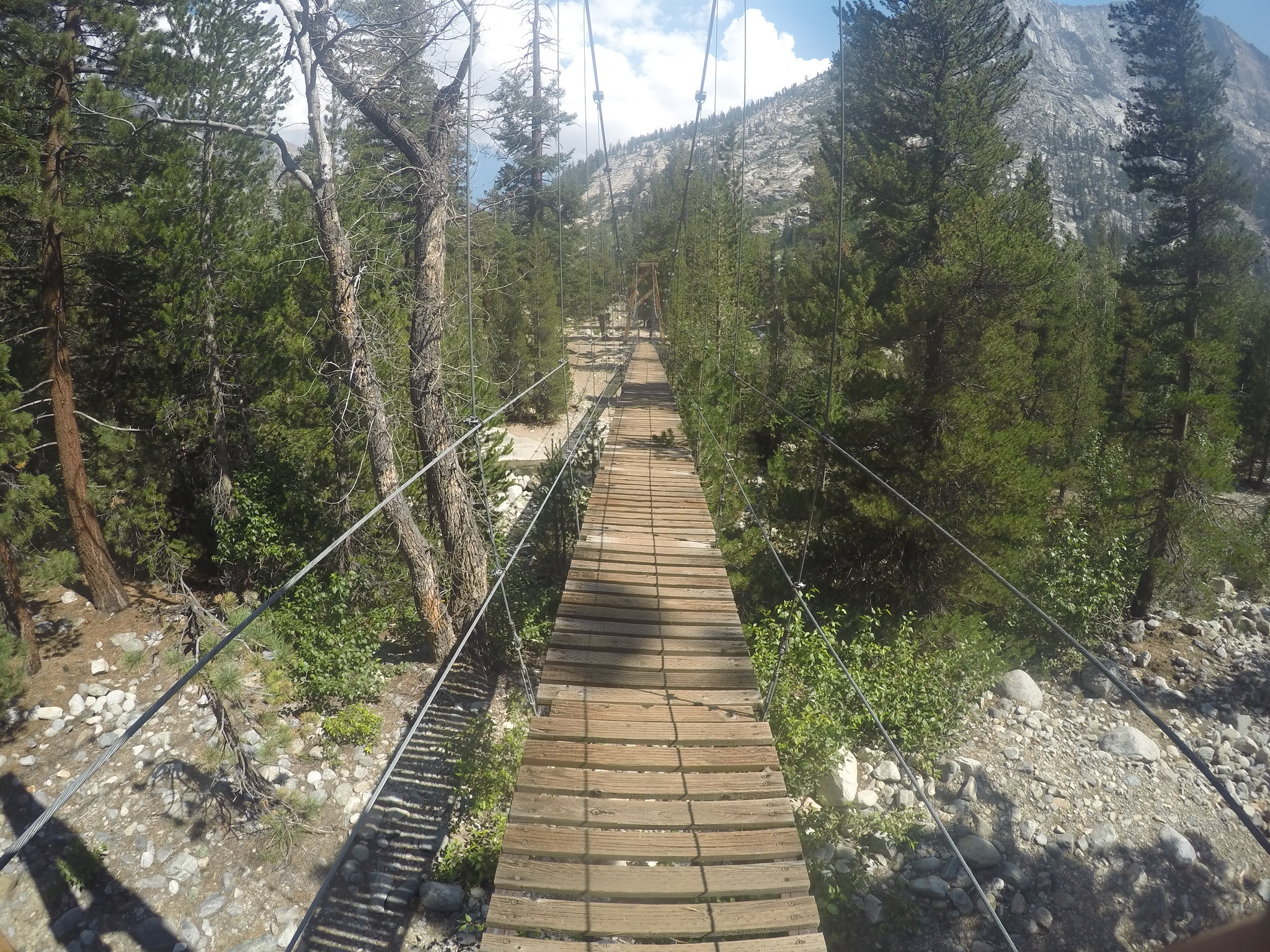
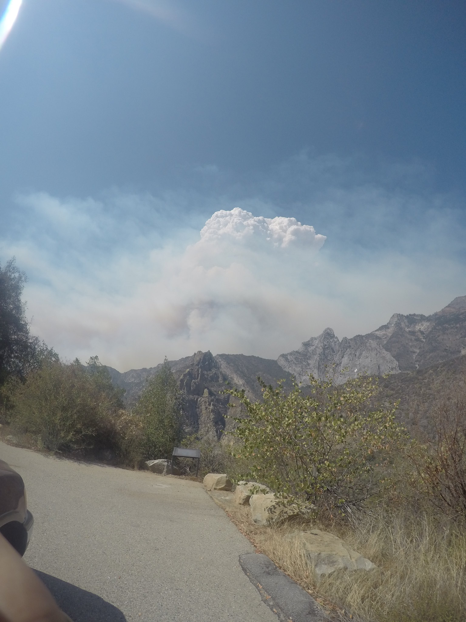
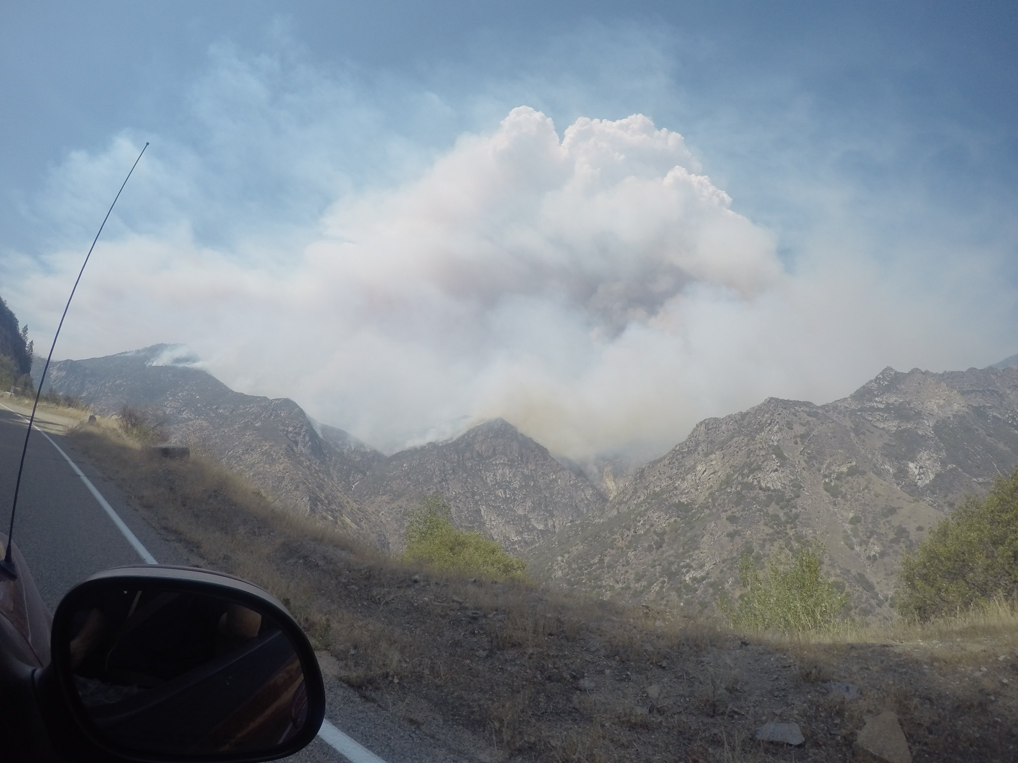
Passing a sign announcing our descent through the 10,000 ft mark signified for me our descent into reality. Passing dozens of JMT hikers, we joked that the reason it took them so long to finish the hike was due to all the talking they did! As we dropped and turned down Wood's, we noticed for the first time the smoke from the Rough fire that had only been burning two days when we started. The Wood's crossing bridge impressed me, especially as an engineering major.
From the bridge we met a mother and her three daughters doing the JMT, on day 23. The two older daughters were having a good time, but the youngest -a 9-year-old- was done. We told her she could come with us and have a burger at Road's End and we got the stink-eye of a lifetime! With all these average people and young kids doing the JMT, I couldn't help but think that I, Joe Shmo, could do it too. Anyway...we kept heading down Wood's and passed through Castle Domes Meadow and the high chaparral.
I loved seeing all the aspens and hearing how the wind blew through them especially. Entering the forest now we started to get into Upper Paradise. Crossing our second bridge of the day we found a nice spot and decided to sleep under the stars again.
Day 6: Sunday-Upper Paradise-Road's End
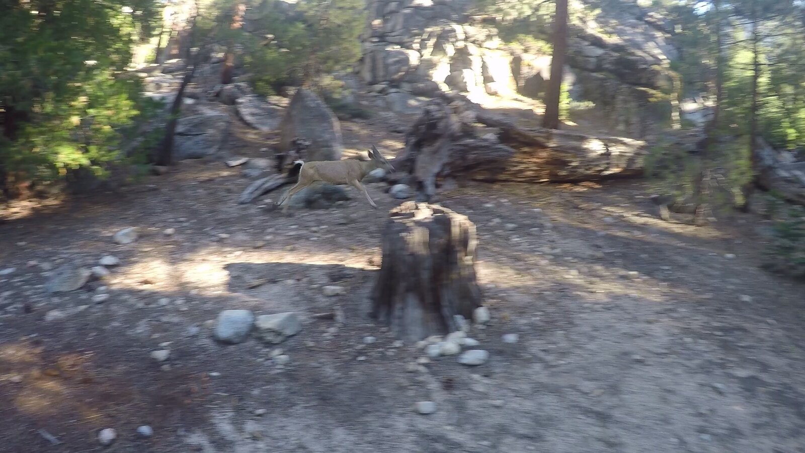
Our final day started out very interesting. I was in and out of sleep, just waking up, when I heard my name. I sat up and saw my uncle with two other hikers looking at me. "What?" I said. They snickered, "That deer over there just about stepped on you and nibbled your hair." I looked over and saw Ms. Jane Doe sniffing just outside our camp. Throughout the morning we had between 2 and 4 deer at any given moment within 20 yards of us. I tried to get some footage of the deer and well...
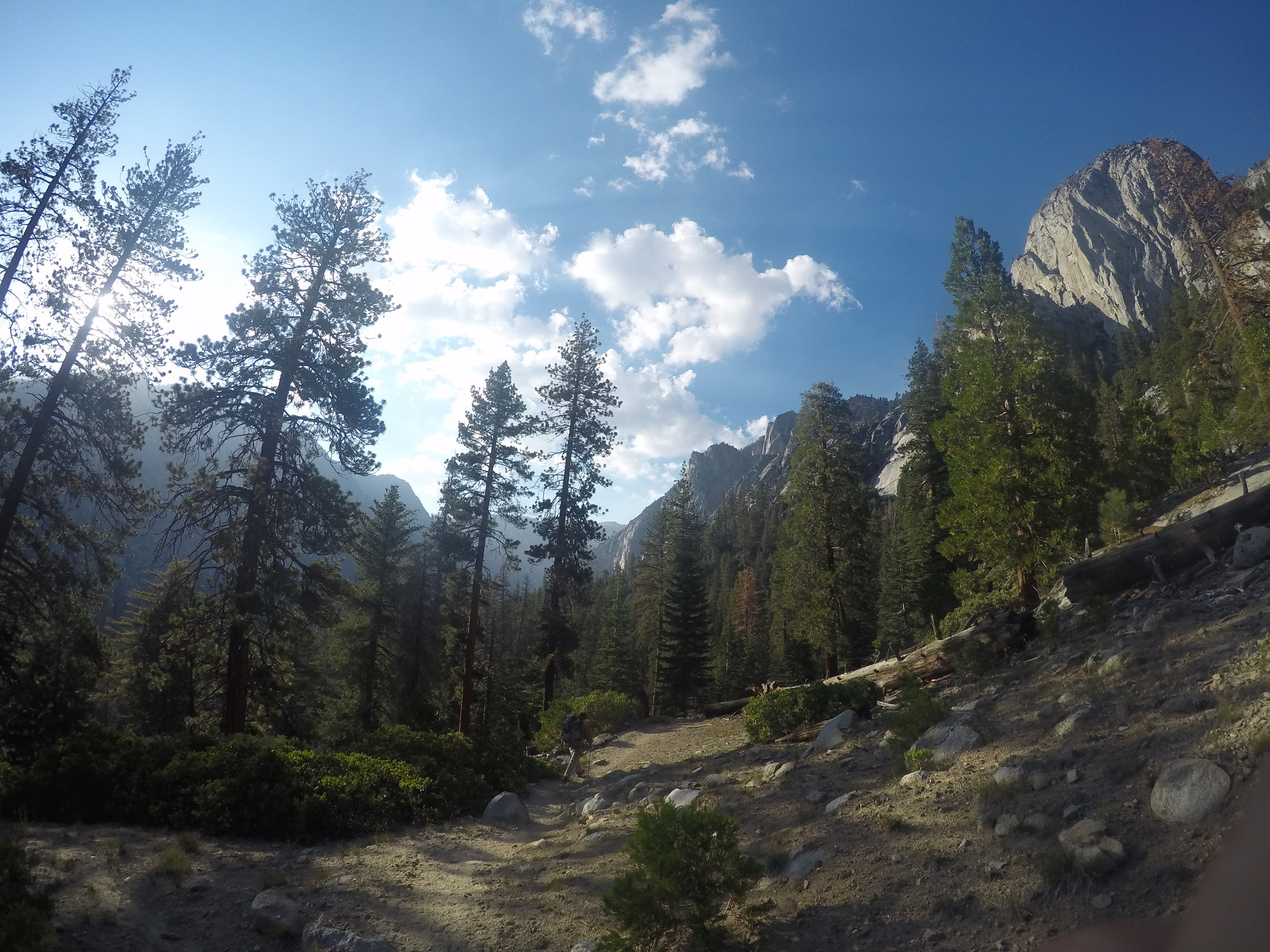
We broke camp especially early, at 9:00, and booked it down to Mist Falls.
At this point I wasn't in the mood to see anymore montane forests, but a nice hamburger would be a sight to see. Every mile we hiked we saw more and more dayhikers out for a Sunday stroll. My uncle warned me that as we neared the frontcountry our heightened sense of smell would make passing tourists interesting, and he was right! :^o Every group we passed I found it funny to the point of laughing how much these people smelled! It was definitely a highlight of the trip, smelling people. The final push out on the DG Highway left me thoroughly sick of hiking, so the sight of cars and a ranger station was music to my ears.
We struck up a conversation with a park ranger whose job was water management for Kings Canyon. He talked about the well systems and water treatment, really informing us how exactly it all worked. Picking up the truck we drove over to the restaurant and I enjoyed a sub-par burger way more than I should have. The Rough fire grew quite a bit while we were gone and we took the opportunity to take pictures every pullout. Now I've heard of leapfrogging on the trail, but how about from pullout to pullout? There was one car in particular we followed from pullout to pullout, joking with them at every stop. At one particular turnout there was a firefighter stationed as a spotter and a sign posted with information. The type 1 helicopter was making water drops every 9 minutes from Hume lake, rolling sideways when dropping water almost as if he was using his prop wash to blow the water into the hillside.
After getting enough of the helicopters we finished the drive home arriving late afternoon.
This trip, although a great overview of the Kings Canyon area, left me wanting for more. Gardiner Basin caught my interest especially, and I hope to go back and explore the basin thoroughly instead of just overlooking it. I got to use my gear and I now understand the importance of carefully choosing my gear. All in all this experience really cemented my love for the Sierra and I'm looking forward to going on more intensive hiking adventures.