This was only my second summer backpacking and this was the big trip of the summer. Last year I did the
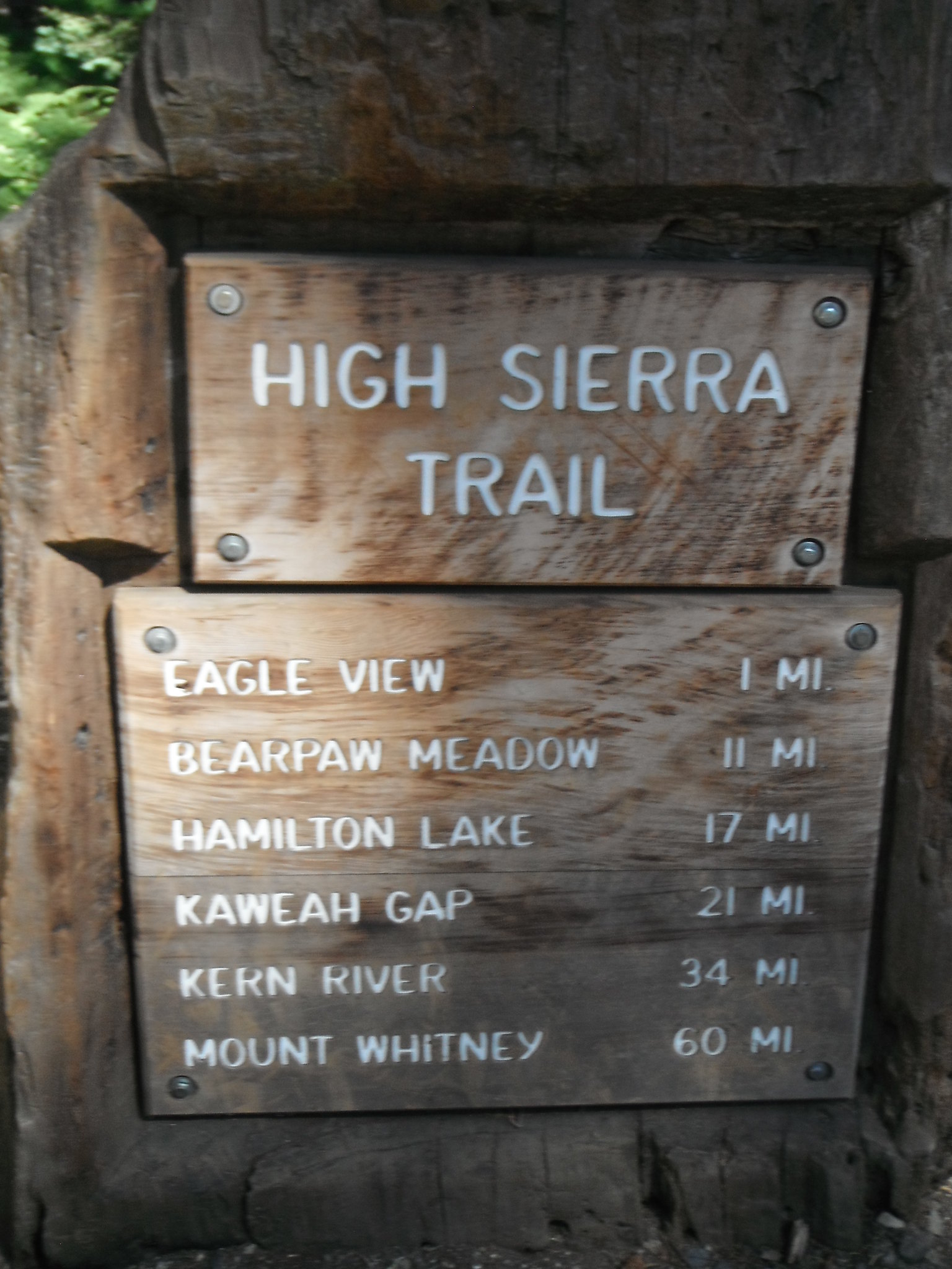
Rae Lakes Loop with a couple sidetrips and it helped me to get into the swing of backpacking. This year I was able to do several weekend trips solo to get me even more comfortable with my abilities. I wasn't able to convince any of my friends or family to go with me for a week, so I had to go solo. In order to ease the mind of my mother I decided to do a popular and well-traveled trail: the High Sierra Trail. Around 70 miles long, this trail winds from the Giant Forest to the peak of Mt. Whitney, the tallest mountain in the lower 48. I only had 6 days to do it between my last day of work and the start of school. It was also the longest I could go if I wanted a ride back home, since Friday the 19th was the only day it worked for my grandfather to pick me up in Lone Pine. Due to all these time constraints I had to go a little faster than I would have liked, but I had fun nonetheless.
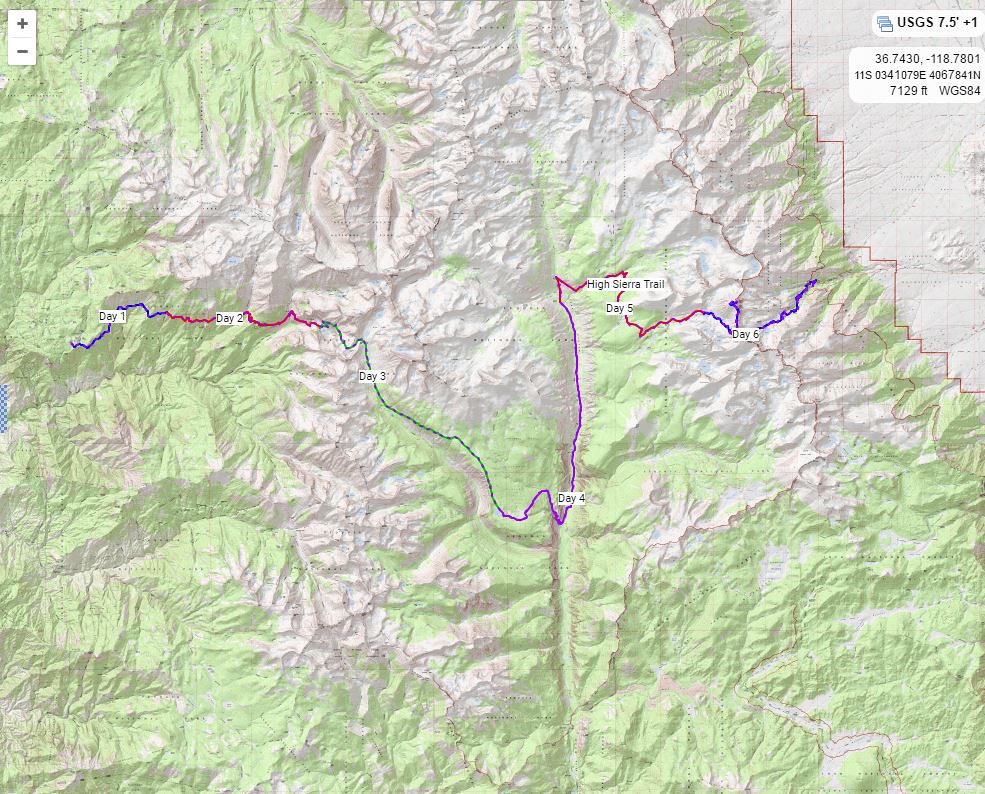
Day 1: Giant Forest-Mehrten Creek 5.33 miles
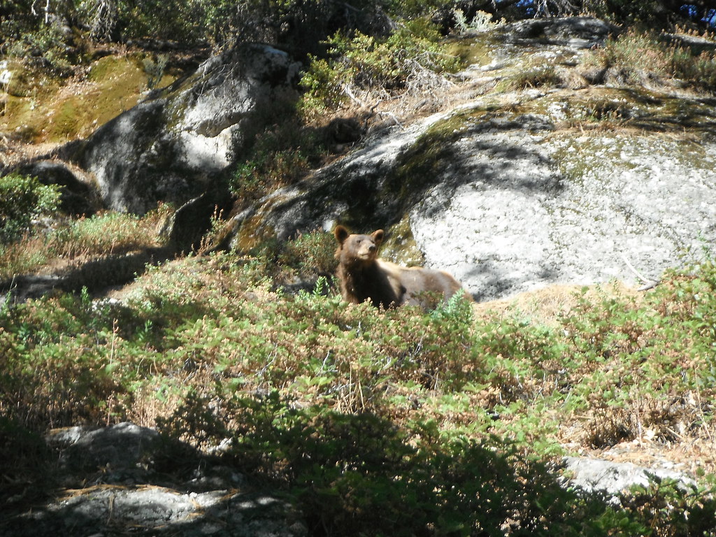
I had laid out all my gear Saturday night in preparation for my Sunday departure. After Sunday church I quickly changed, ate a quick lunch and got a ride from my friend, Noah, up to the Giant Forest. About 1 1/2 hours into the ride I realized I forgot my trekking poles. I hoped Lodgepole market would have some I could buy as there was no way I was hiking 70 miles without them. Unfortunately Lodgepole didn't have any, so we waited at the Lodgepole trailhead for about 20 minutes before I was able to buy some from a kindly hiker. After this slight detour we were back on our way. We parked at the Giant Forest Museum, I grabbed my pack, said goodbye to my ride and hopped aboard the shuttle to Crescent Meadow and the trail ahead. It was 3:00 by the time I finally got on the trail and I started on my way. I saw a bear almost immediately as is typical in the Giant Forest area. After hiking a couple hours I realized I wasn't going to make it to Bearpaw as I planned, so I camped at Mehrten Meadow the first night.
Day 2: Mehrten Creek-Hamilton Lake 8.74 miles
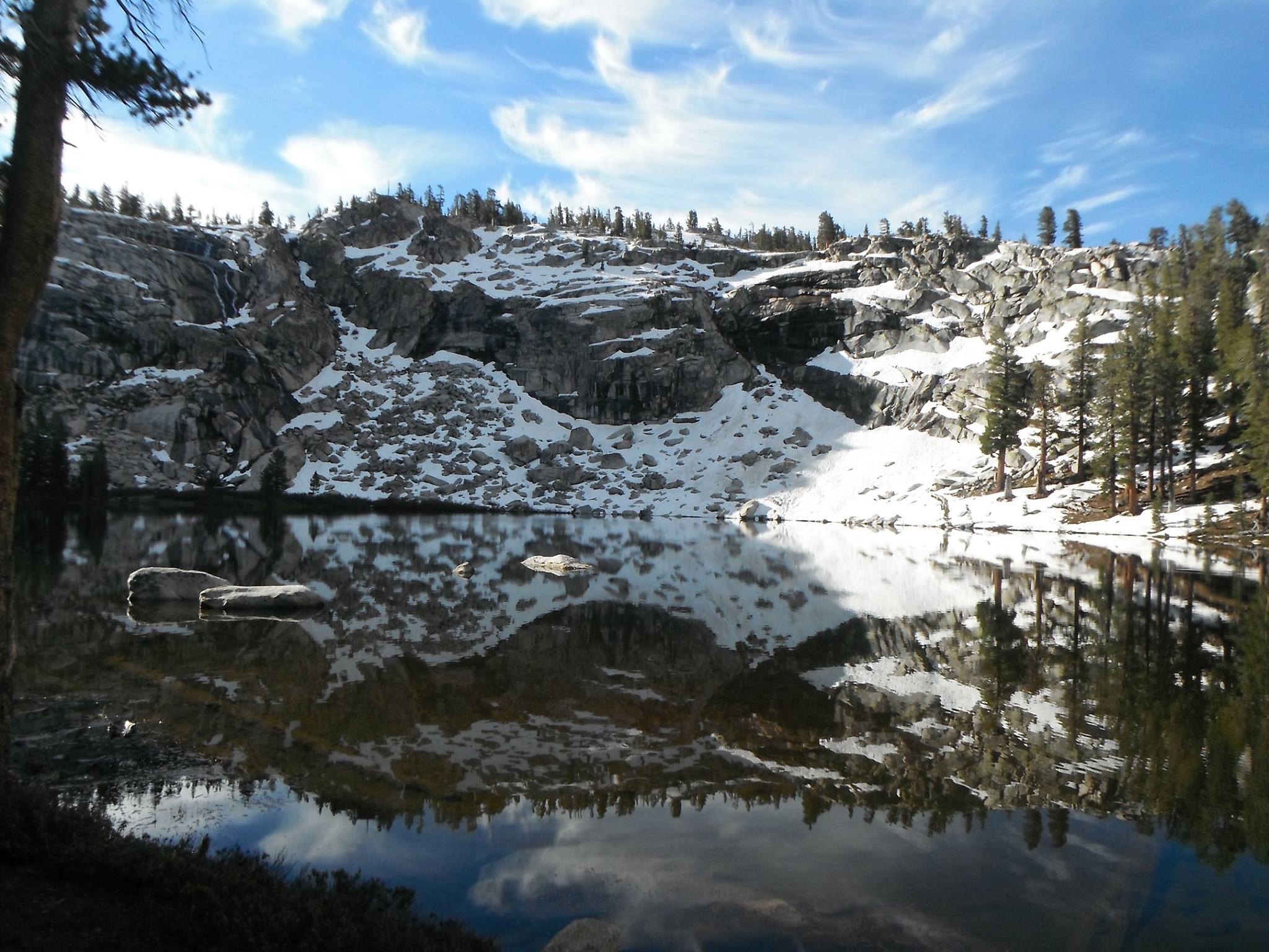
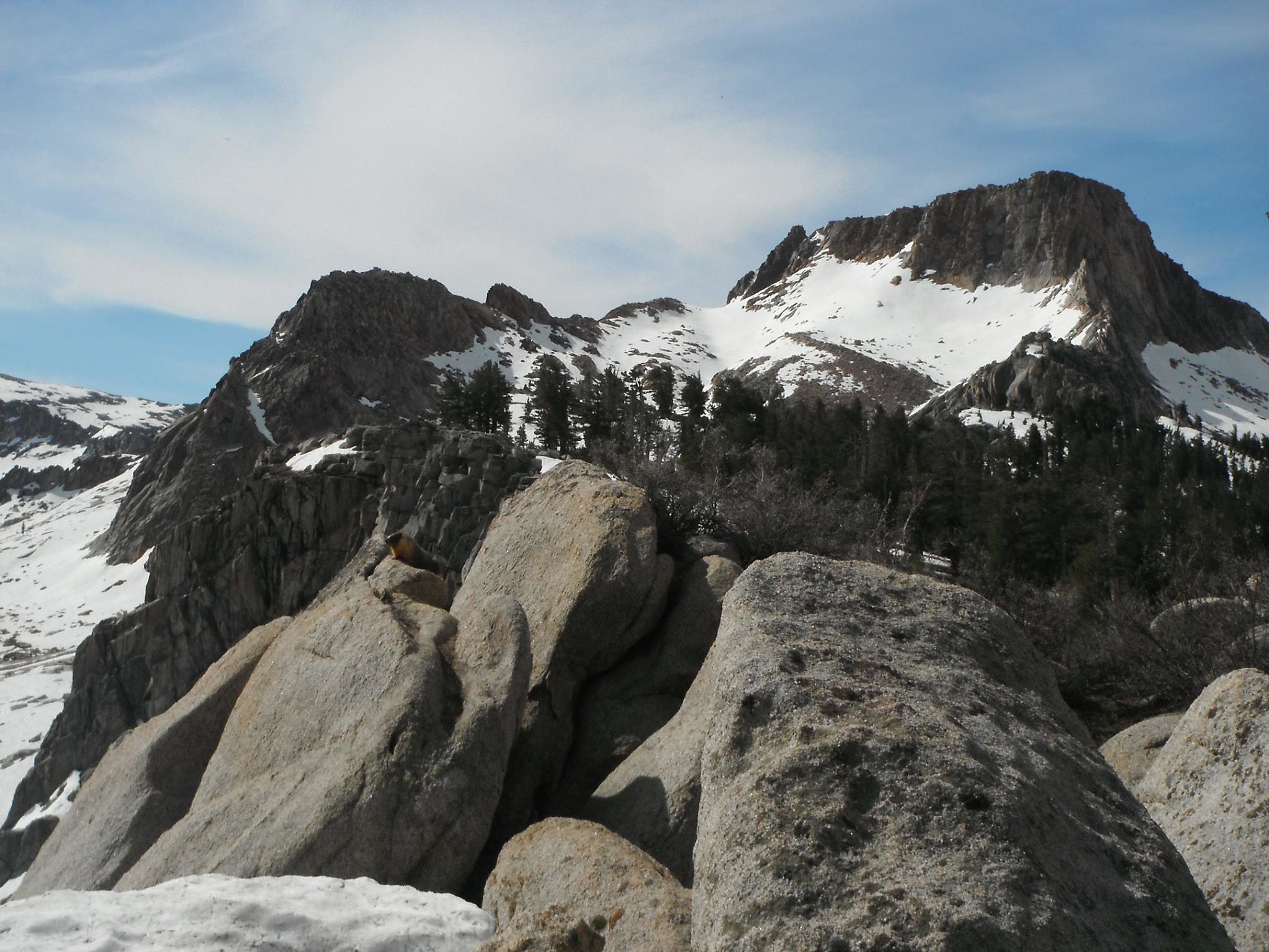
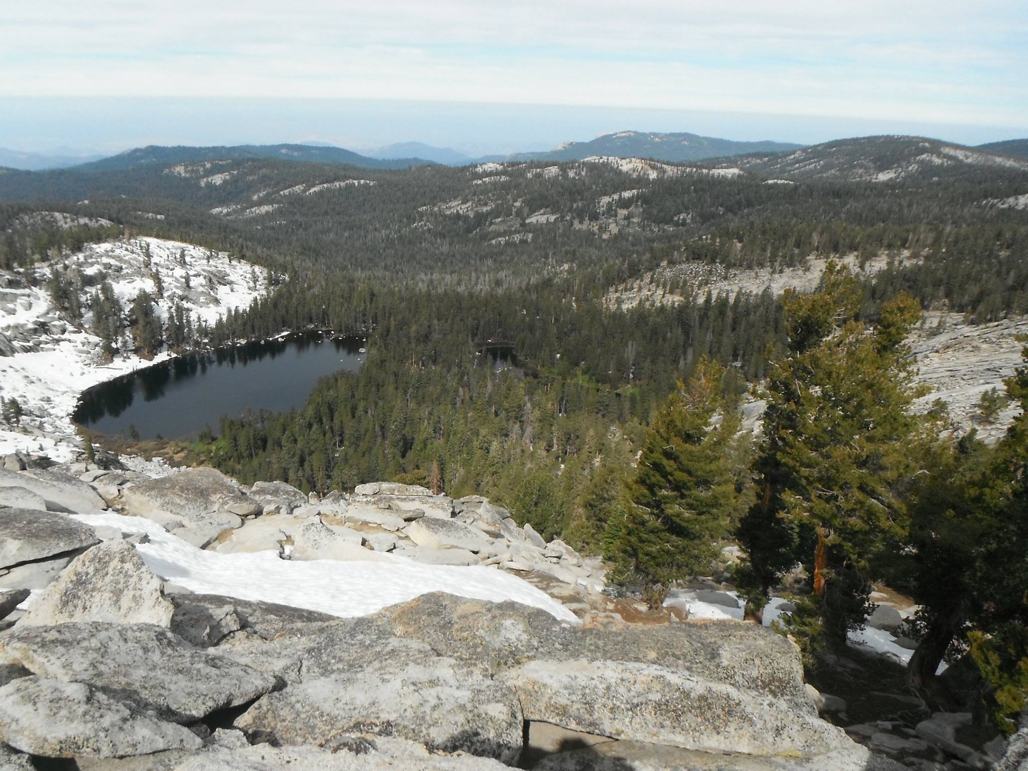
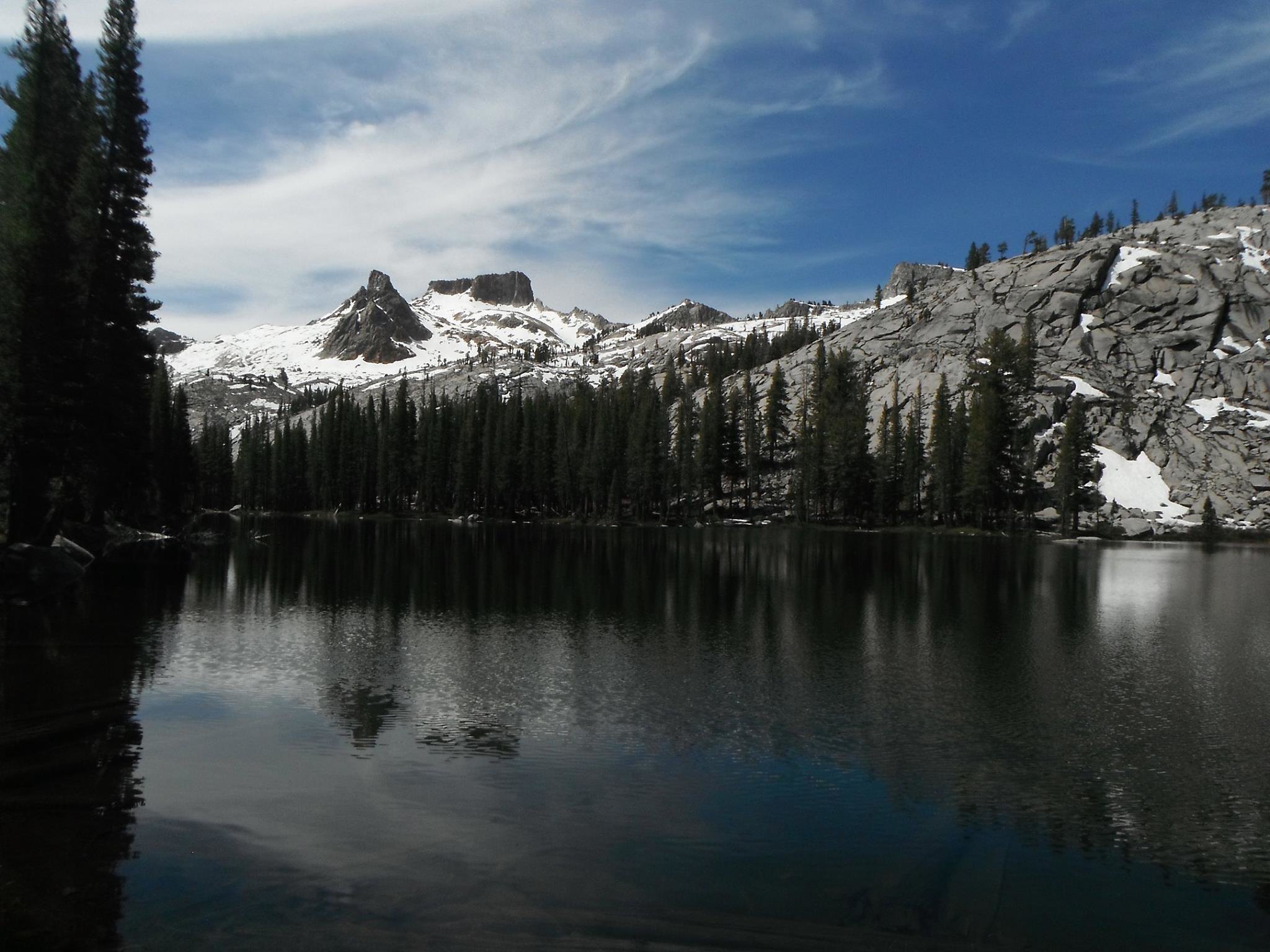
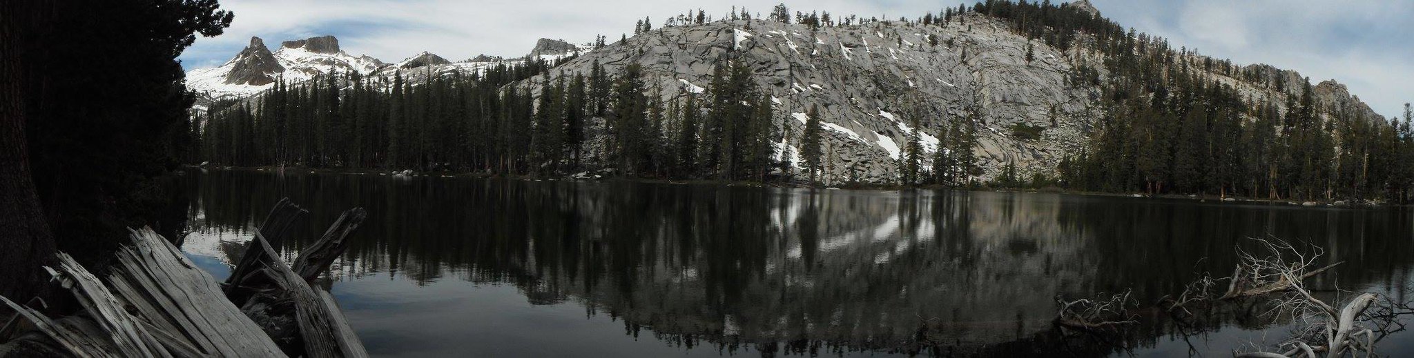
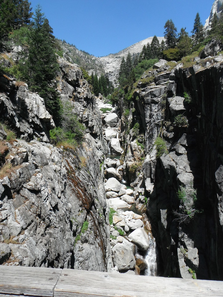
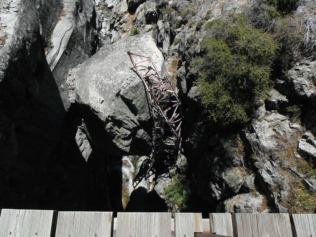
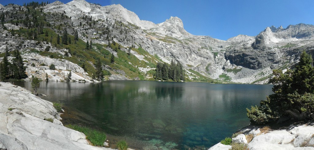
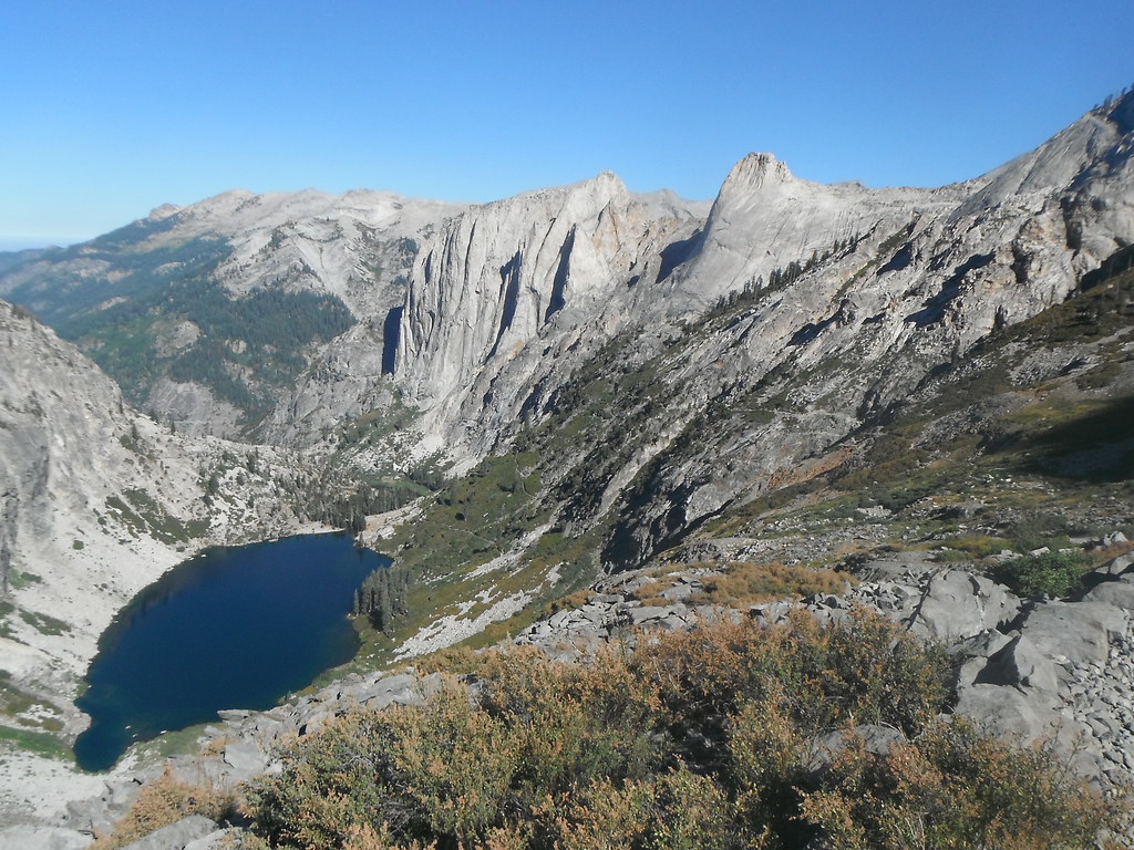
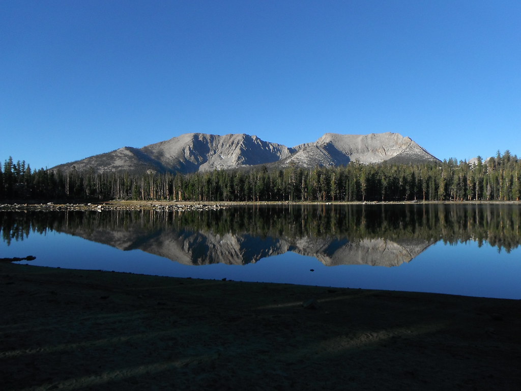
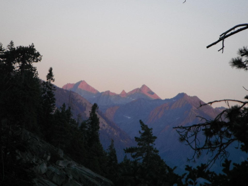
The sun came over the Great Western Divide early on day 2 and coaxed me out of my sleeping bag. I made great time and got to Bearpaw before 11 and stopped to have lunch with some guys doing the same trip in 10 days. We talked for a bit and then decided we'd meet again at Hamilton Lake. I started out and admired the views leading up to Hamilton and Kaweah Gap. Crossing the bridge at Lone Pine Creek I admired the older washed out bridge that had fallen below and was never retrieved. One more push up to Hamilton and camp for the night. A couple hours later my trail buddies showed up and we had dinner together. After dinner everyone turned on their photographer side and tried to capture the beauty; I was content in capturing their attempts.
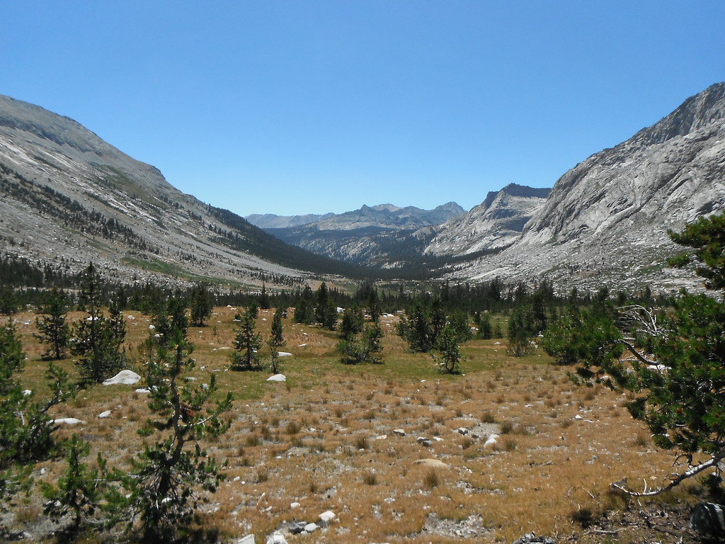
Day 3: Hamilton-Moraine Lake 12.62 miles
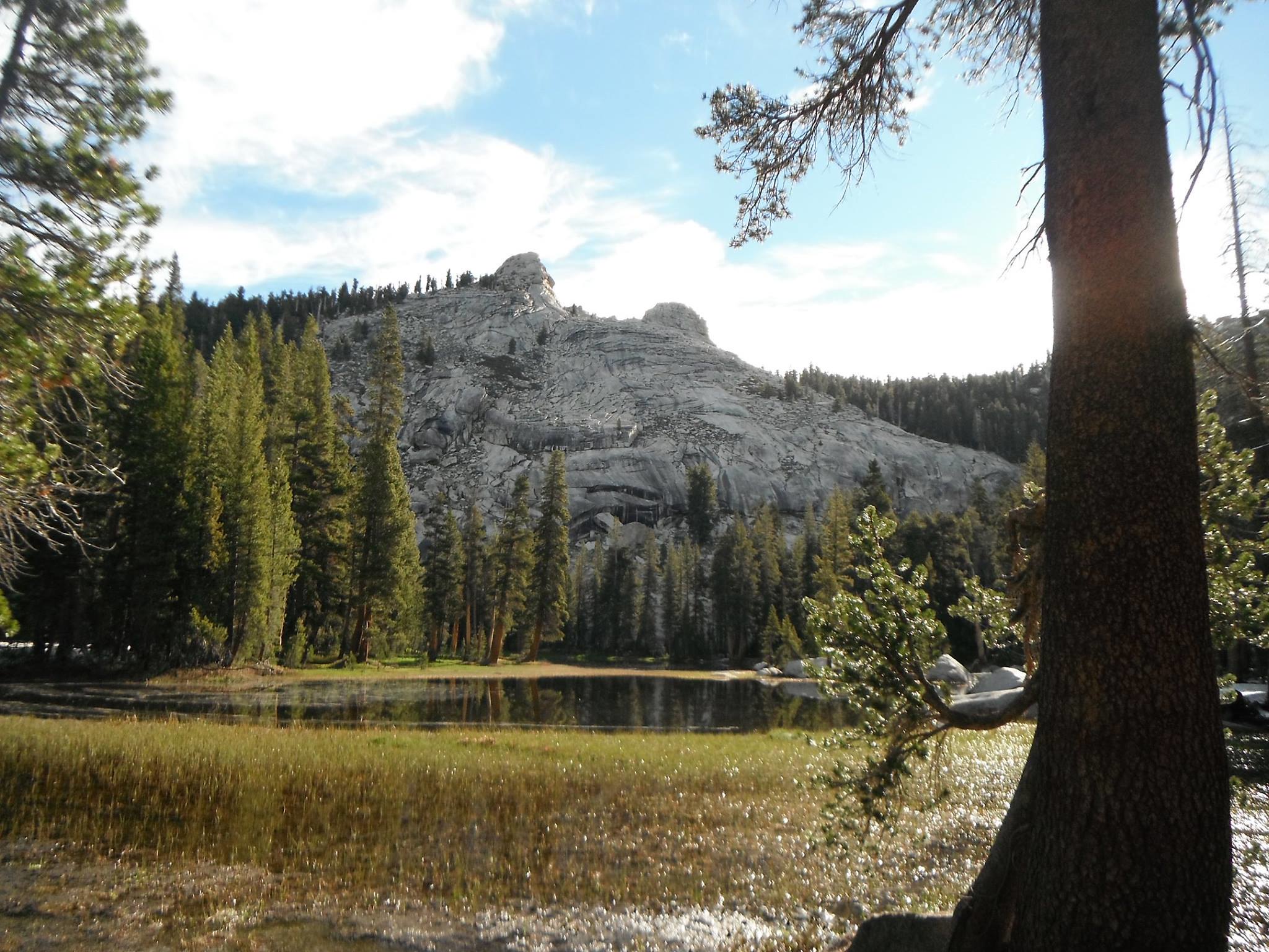
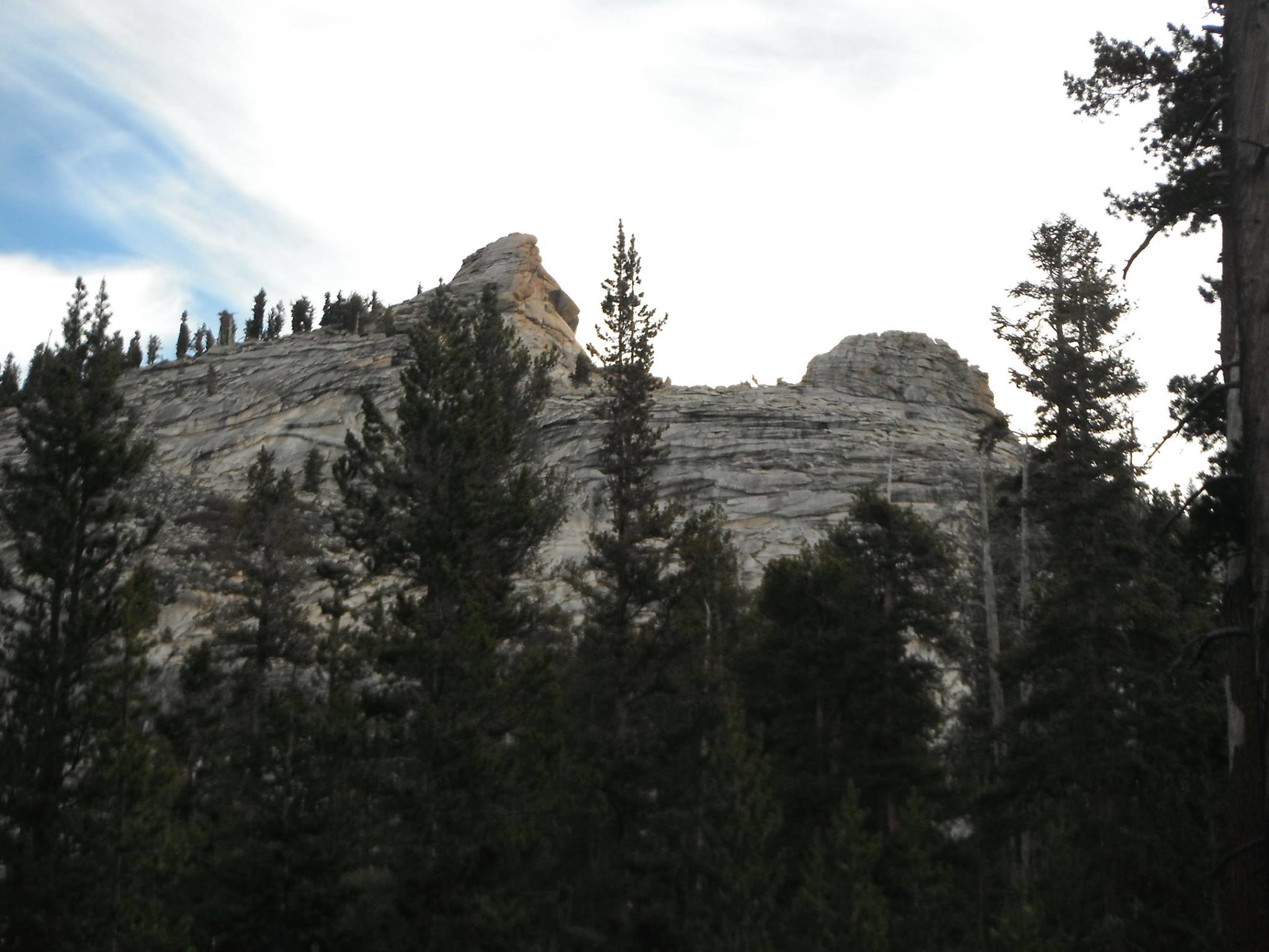
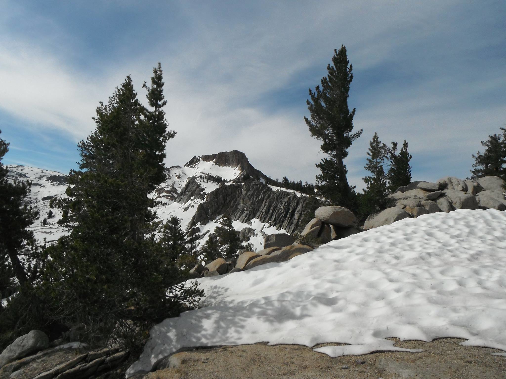
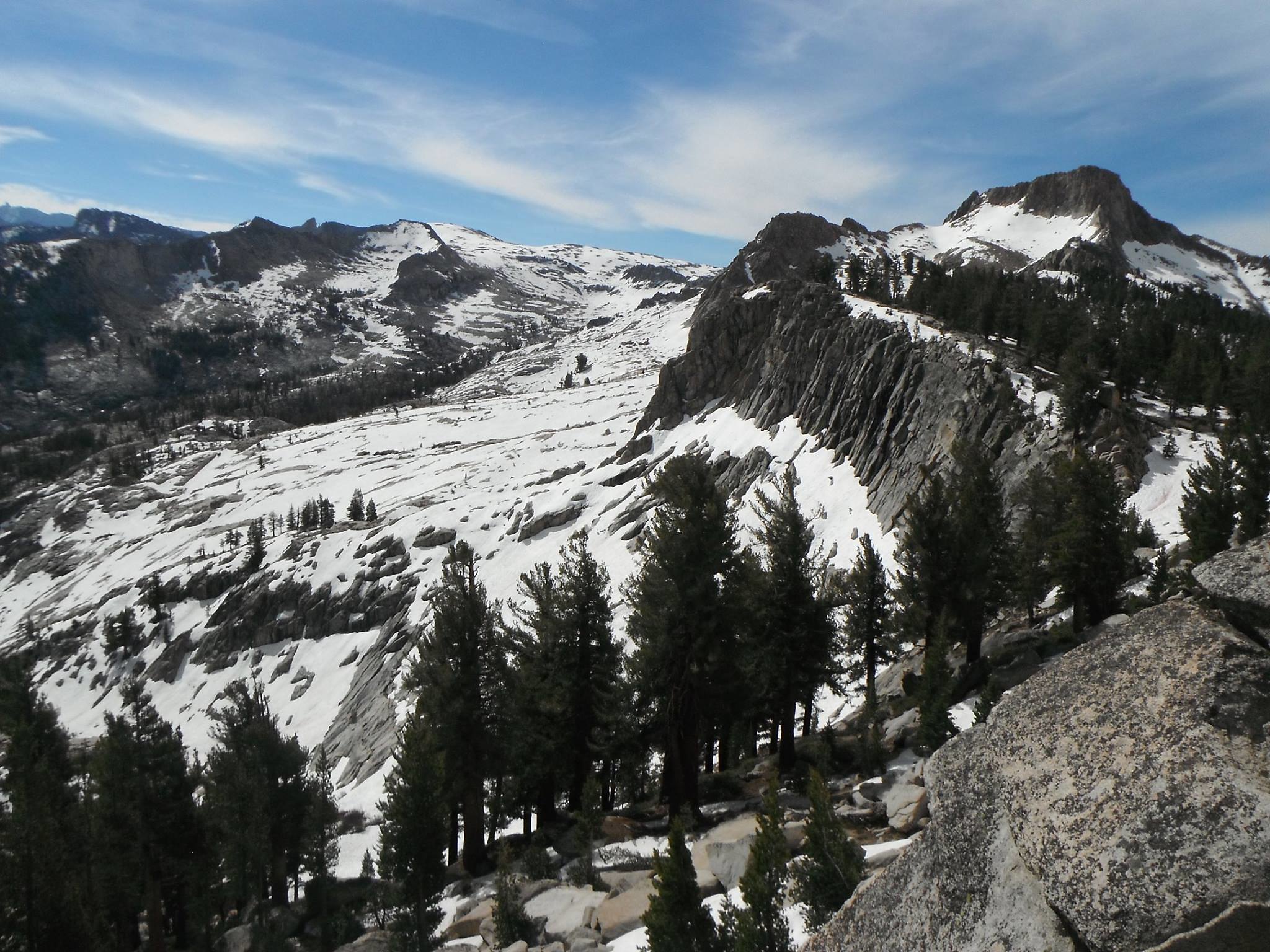
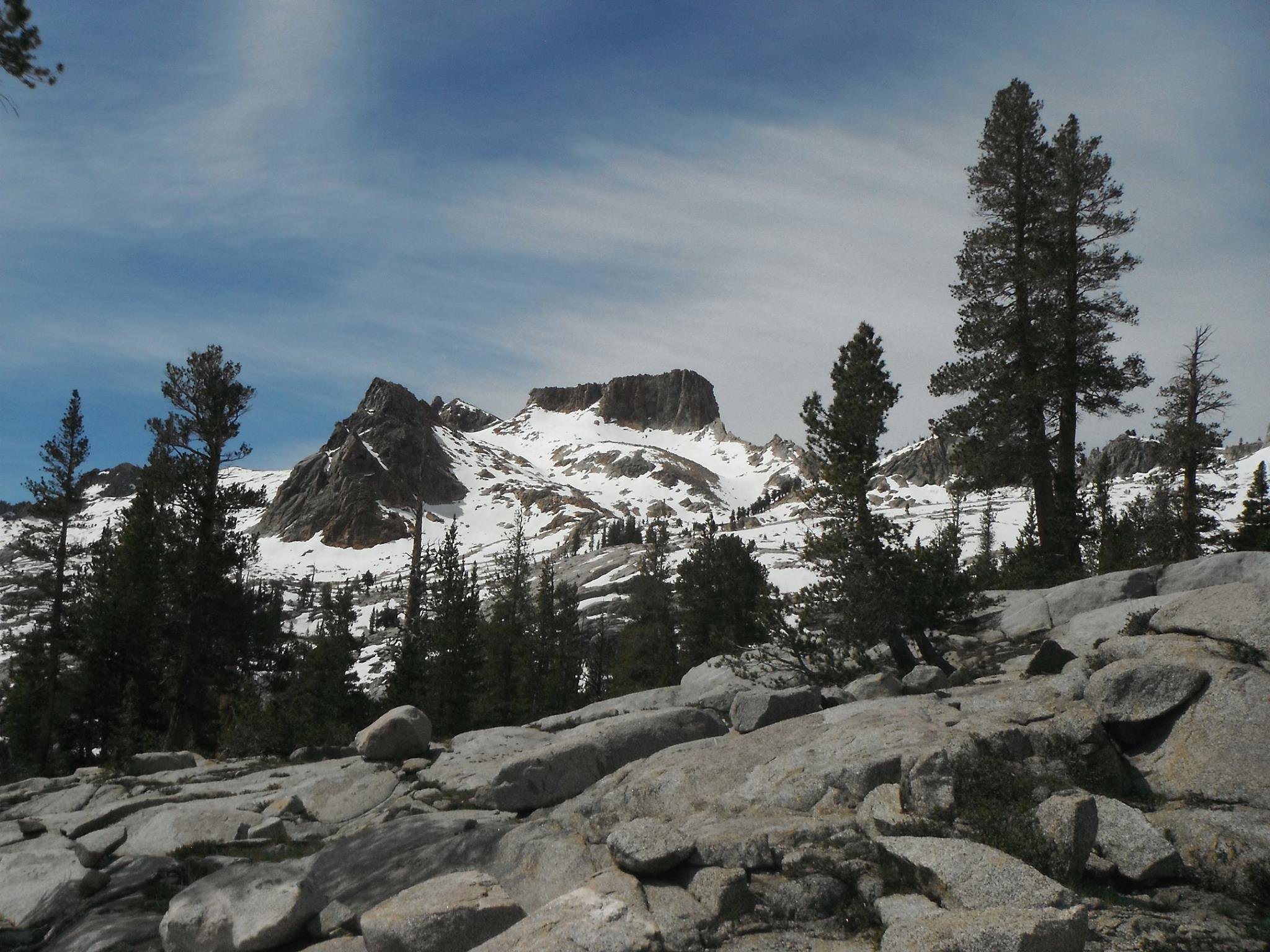
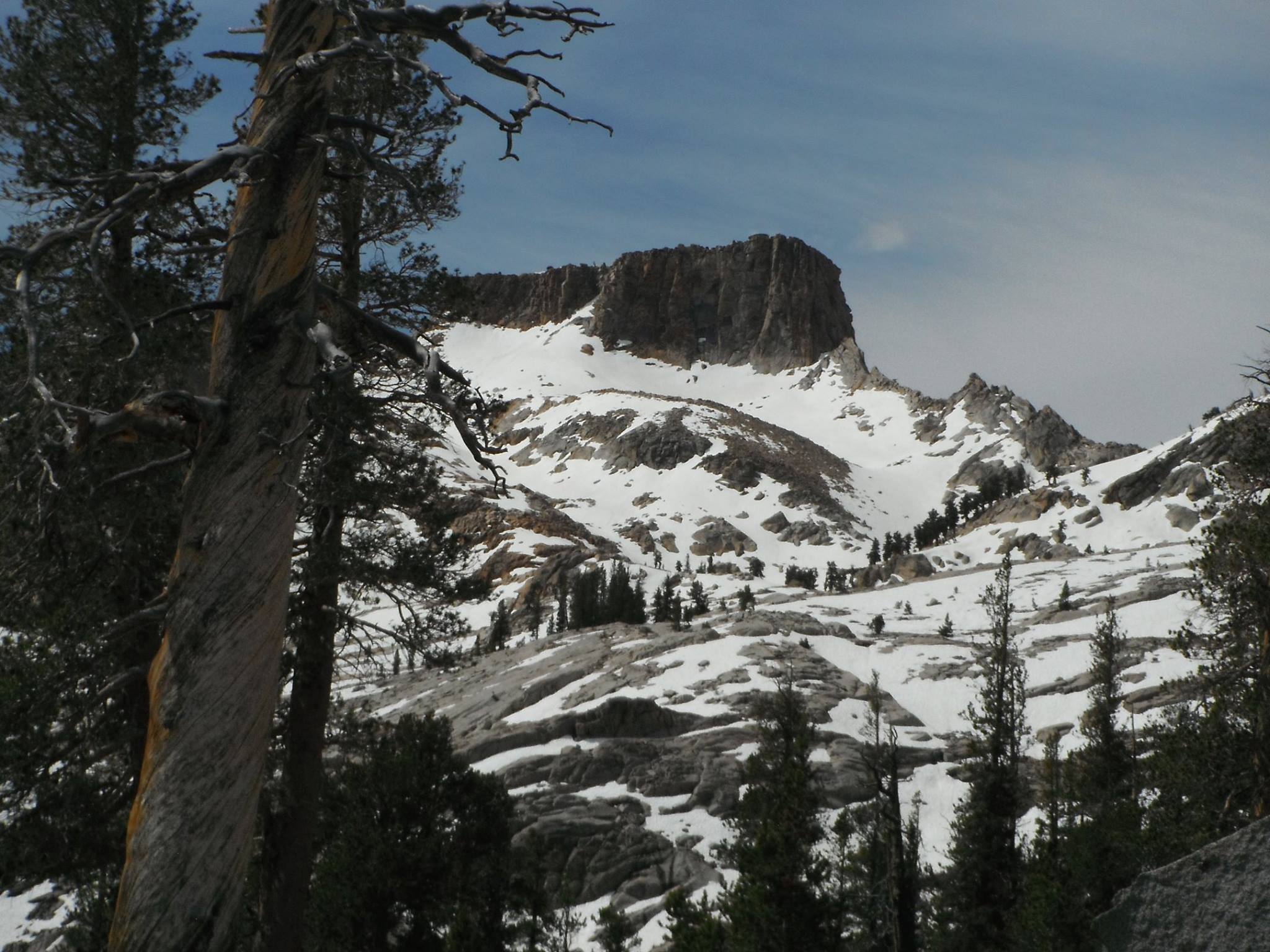
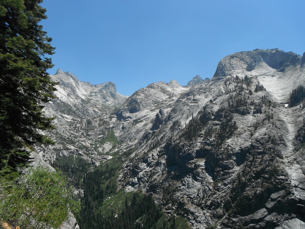
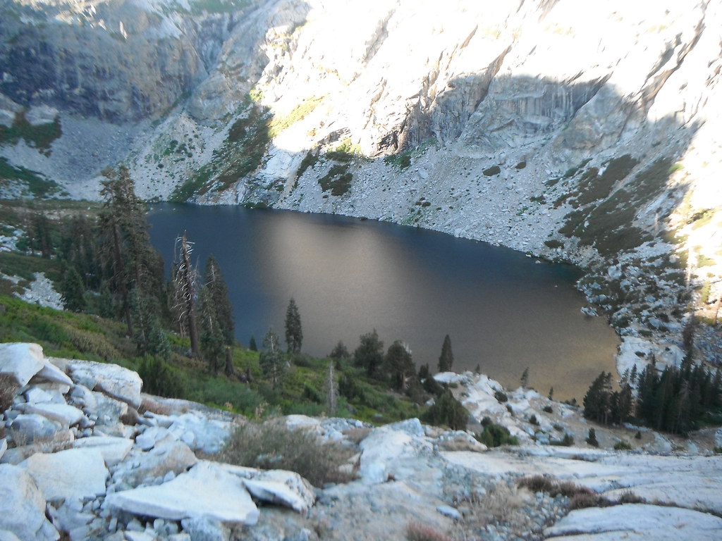
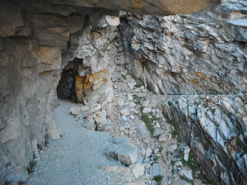
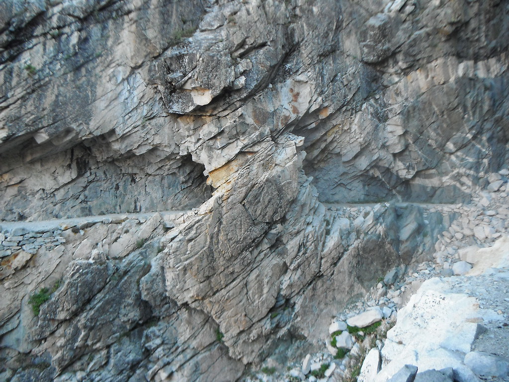
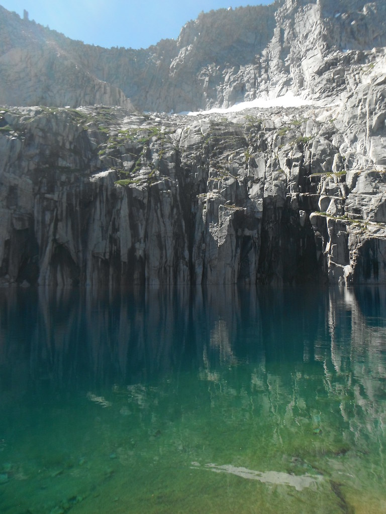
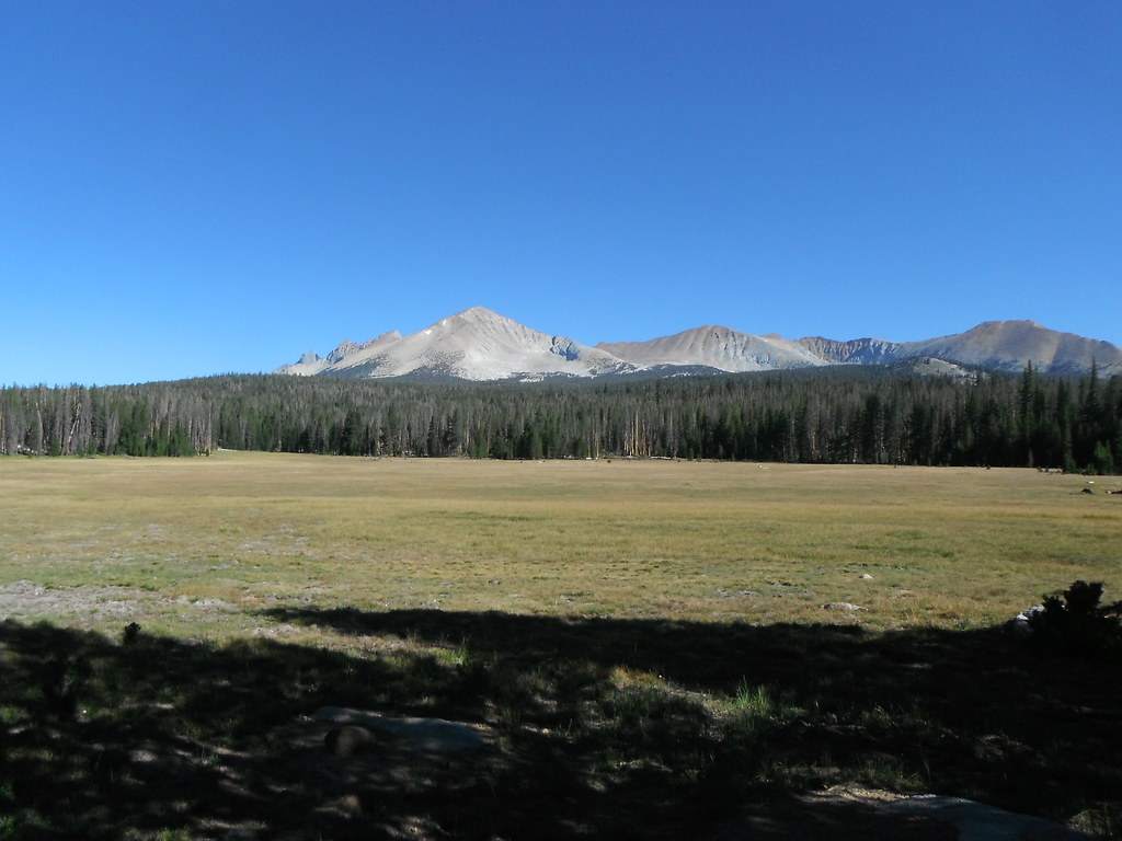
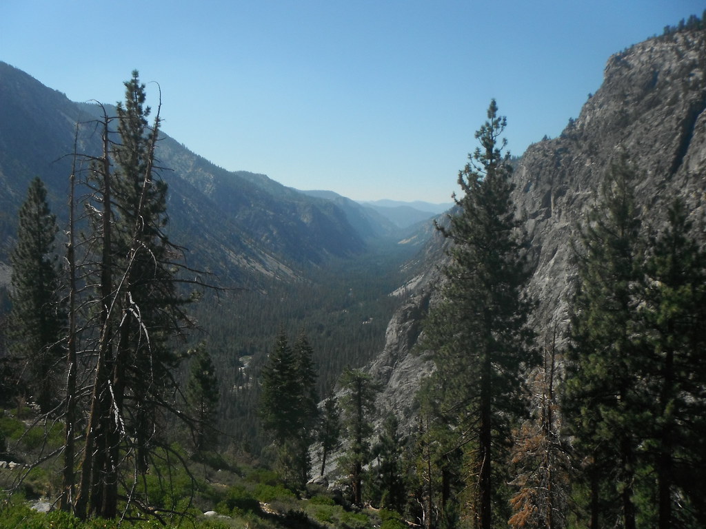
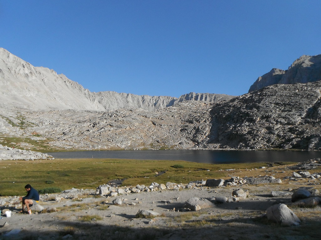
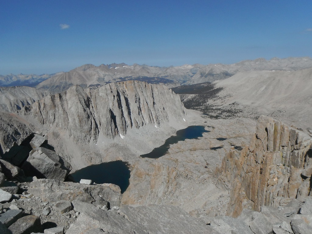
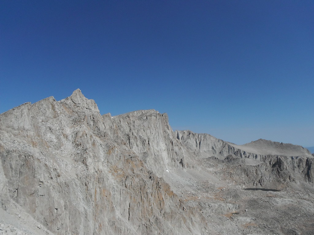
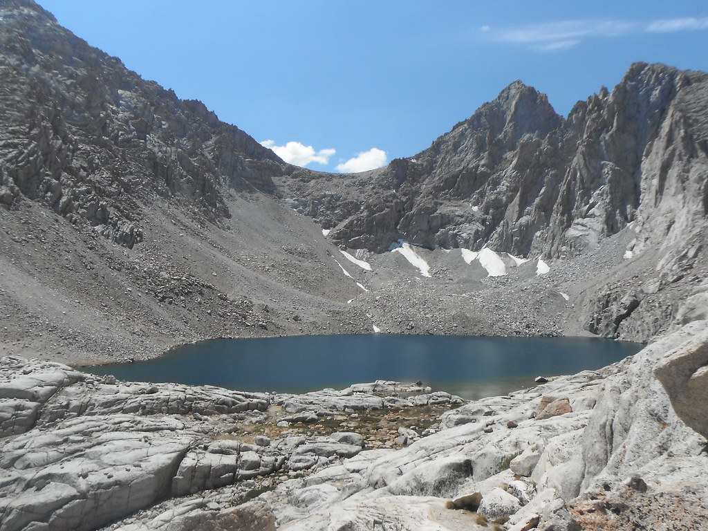
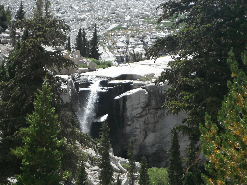
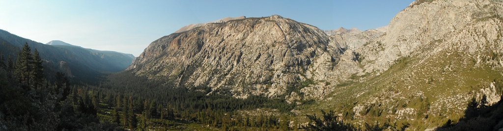
I got up especially early (for me) today in order to get up to Kaweah Gap before it got too hot. I was hiking just after 6:30 and made it to precipice a little before 9. While enjoying the views my campmates from last night showed up and we had a good break. It was only half an hour to the top of the Gap where I marveled at the glacier carved Big Arroyo. I slowly dropped down the canyon admiring the way the creek meandered to and fro. After lunch at the patrol station I had a lot more climbing to do. This was hot and dry and the only benefit were the views to the west of the Mineral King region. Making it to the top offered amazing views of Mt. Kaweah, a peak that's been on my list for a while. I wouldn't be able to bag it this time, but maybe next year... Dropping down into Moraine Lake was a welcome relief, as was taking a dip in it after a long hot day. The water was perfect, and the breeze outside made me stay in for a good while. This lake even had a sandy beach! For a second I forgot I was in the Sierra.
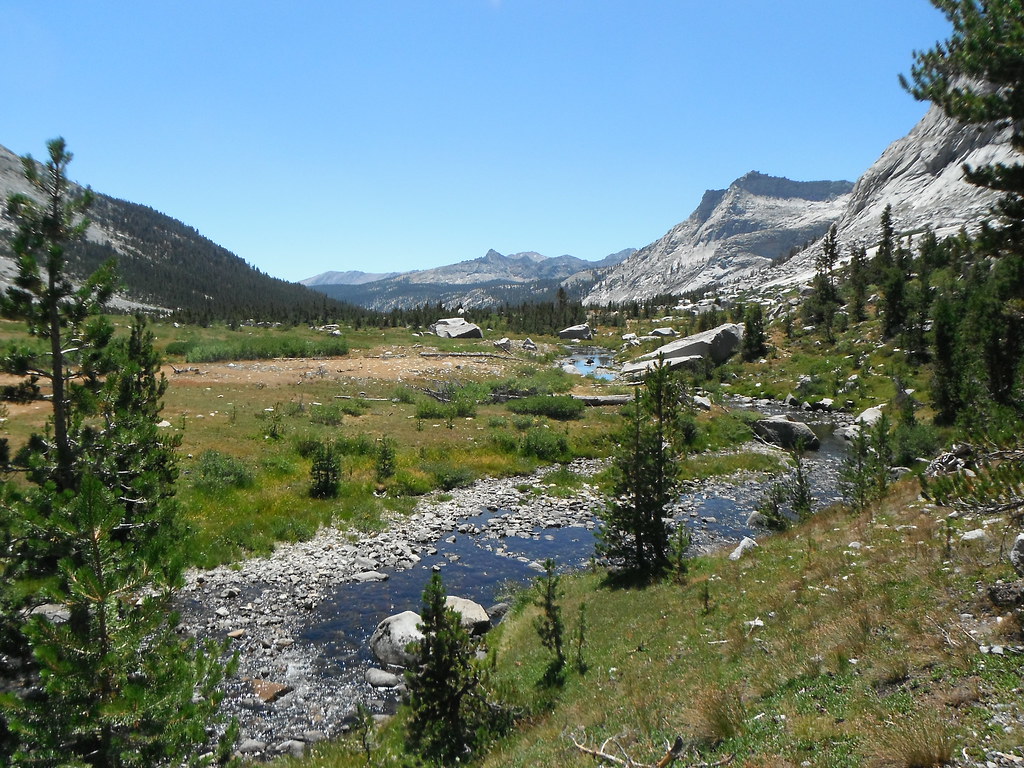
Day 4: Moraine Lake-Junction Meadow 13.81 miles
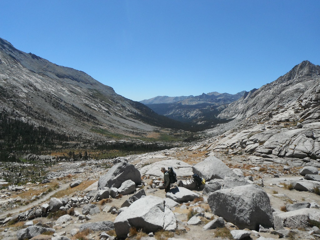
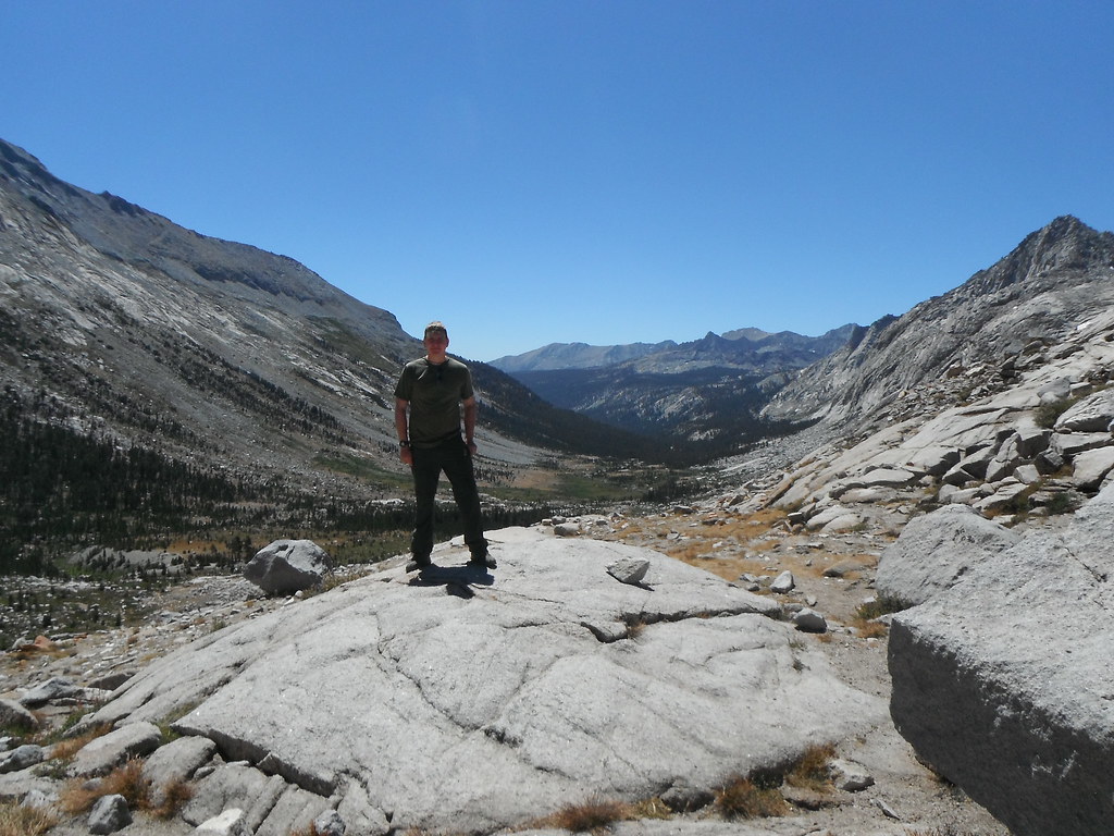
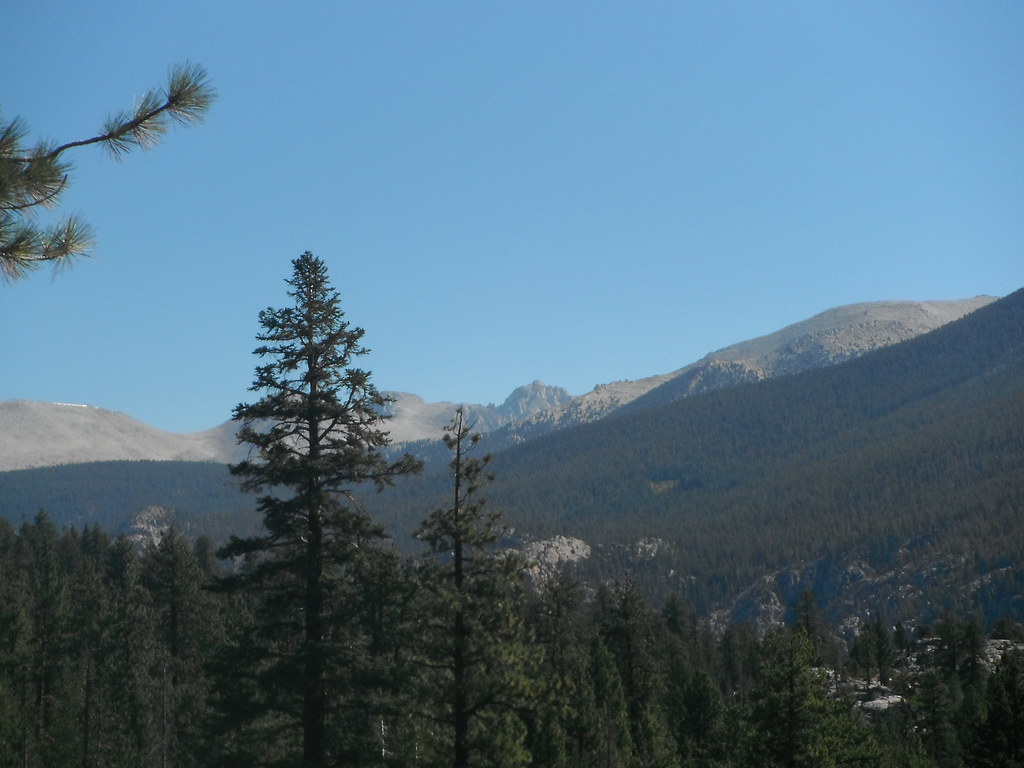
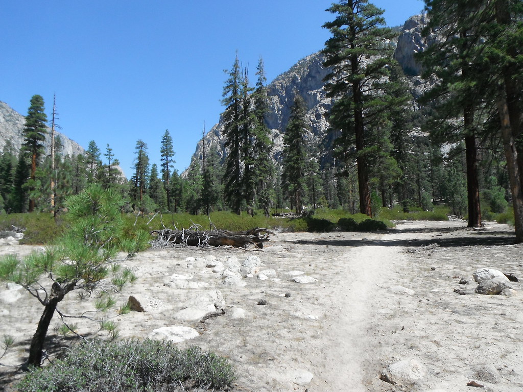
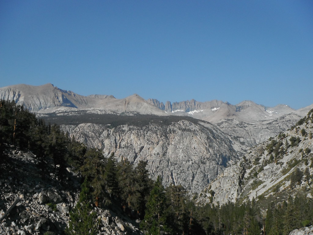
This morning was lots of downhill. I dropped 2,600 ft that morning and it pained me every step because I knew I would have to gain it all back in the next couple days. As I got further and further down it got hotter and hotter. It also got sandier until I felt like Lawrence of Arabia hiking through the desert. I thought this was the High Sierra Trail, not the Kern desert death march. A quick lunch at the Kern Hot Springs and I was back on the trail. It was at this point that I noticed I hadn't seen anyone the whole day. It wasn't until I made camp that I would see another hiker this day. I finally made it to Junction Meadow and tried to get the high ground as the mosquitoes came in. I made some more friends and ended the day with a community fire.
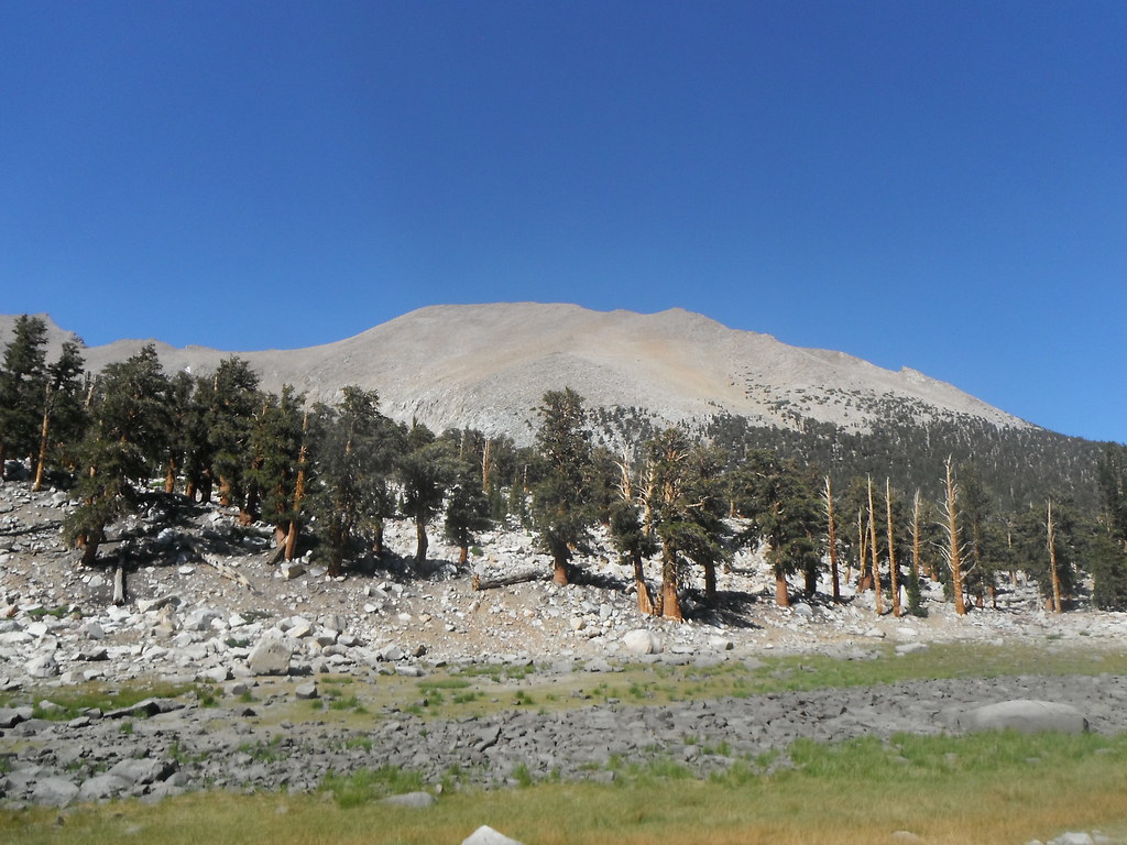
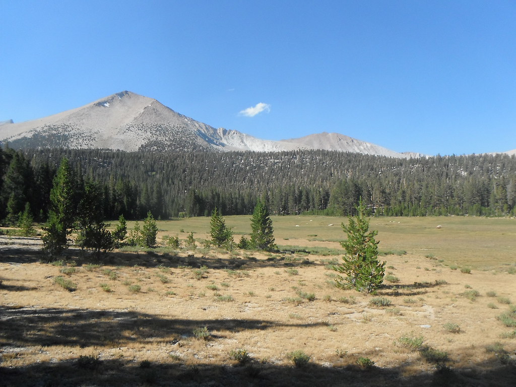
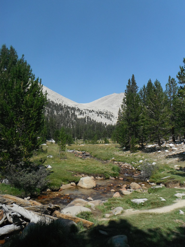
Day 5: Junction Meadow-Guitar Lake 10.78 miles
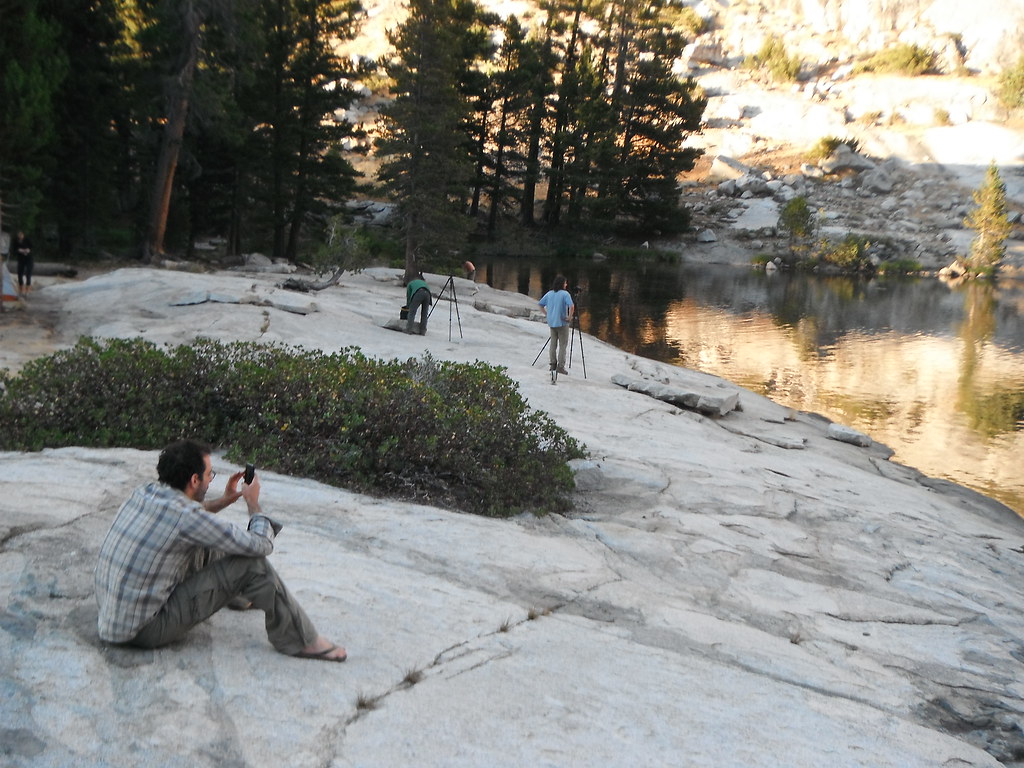
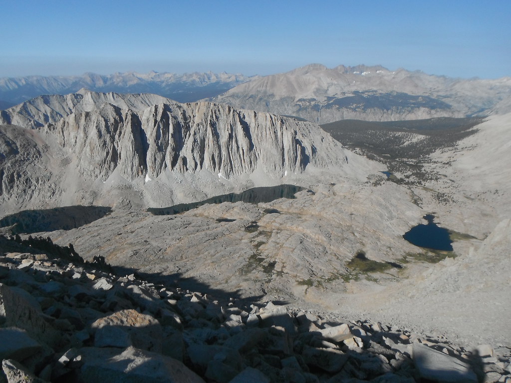
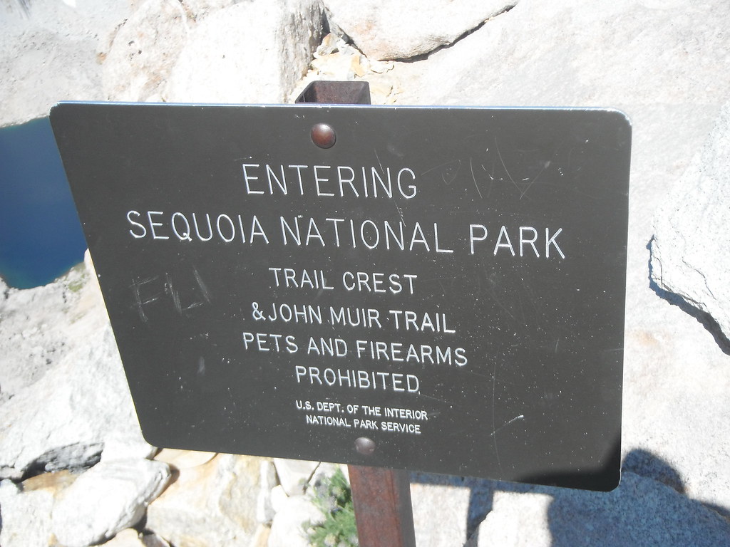
This morning started out with a climb to make up all the elevation I lost earlier. Nearly 3k ft as I made my way closer to Mt. Whitney. As bad as 3,000 feet sounds I didn't find it that difficult. I guess either my pack was getting lighter or I just got a good night's sleep. I didn't need a sign to tell me I hit the JMT, it was self explanatory. I saw 20+ people in 5 minutes at the junction whereas I didn't see anyone the day before; this was going to take some getting used to. The descent into Crabtree Meadow was dry and dusty, so a break by the creek was well appreciated. I ate a late lunch there and decided to take my time going up to Guitar Lake. There was plenty of daylight and no use tiring myself out before tomorrow's climb. Upon arriving at Guitar I finally figured out why this trail was so popular as the granite and meadows combined into a picturesque setting. After talking to the couple camping next to me we decided to get up the next "morning" at 2am and start the climb. I camped behind a boulder anticipating the wind and put all my clothes on for a cold night. Between the full moon shining in my eyes and the freezing conditions I didn't get much sleep.
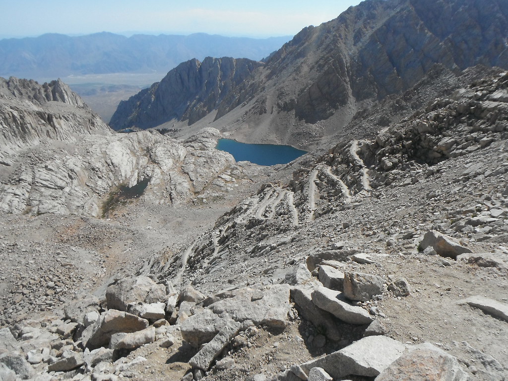
Day 6: Guitar Lake-Whitney Portal 14.54 miles
I had set my alarm for 2, but we were all up by 1:30 because of the wind and cold. We geared up for the last 5 miles and 3k ft to Whitney. We dropped our packs at Trail Crest and continued up, making it to the top for sunrise. There wasn't much room up there, and I spent my time in a crack boiling water and drinking cider to stay warm. The sunrise was beautiful and the views from Whitney were better than I had imagined. If I hadn't been so cold I might have stayed a while. I had 10 miles to go and it wasn't getting any shorter sitting there. You might think that all downhill is easy, that I should have been flying down the mountain. It was painful as every step pounded my knees and feet. I didn't have any blisters so far, but I was making up for it in those last few miles. This trail seemed eternal, especially as I turned the corner and saw the portal. Just seeing the end doesn't mean you're close. It was another hour before I finally saw the end of the trail. I waited half an hour before my ride showed up. A quick shower and change of clothes was welcome relief from the grime of the trail. We ate dinner in Tehachapi and I was home before 10. A week full of highs and lows-literally and figuratively-but it was ultimately a great time.